May 19th, 2024
I arrived at the Blackwood Canyon Sno Park around 6:40AM. The sno park had already started its transformation into a campsite parking lot for the summer, made evident by the “Campground Parking Only” signs posted at about half of the parking spots. I made sure to find one without that sign, saddled up my skis on my pack, and began walking up Blackwood Canyon Road.
Around 3/4 of a mile down the road, I cut through the forest to a section of the ridge that I had identified as not too steep on my map. The wall of the canyon was soon in front of me, and I instantly found myself questioning why I do this for a hobby. Despite my internal struggle, I continued up, trying my best to find a decent route that stuck to rocky terrain. A small amount of bushwhacking ensued, but I was triumphant and topped out on the ridge around 8AM. I stopped briefly to get some sunscreen on, as well as eat a small snack, and set my course to the west, towards Twin Peaks.
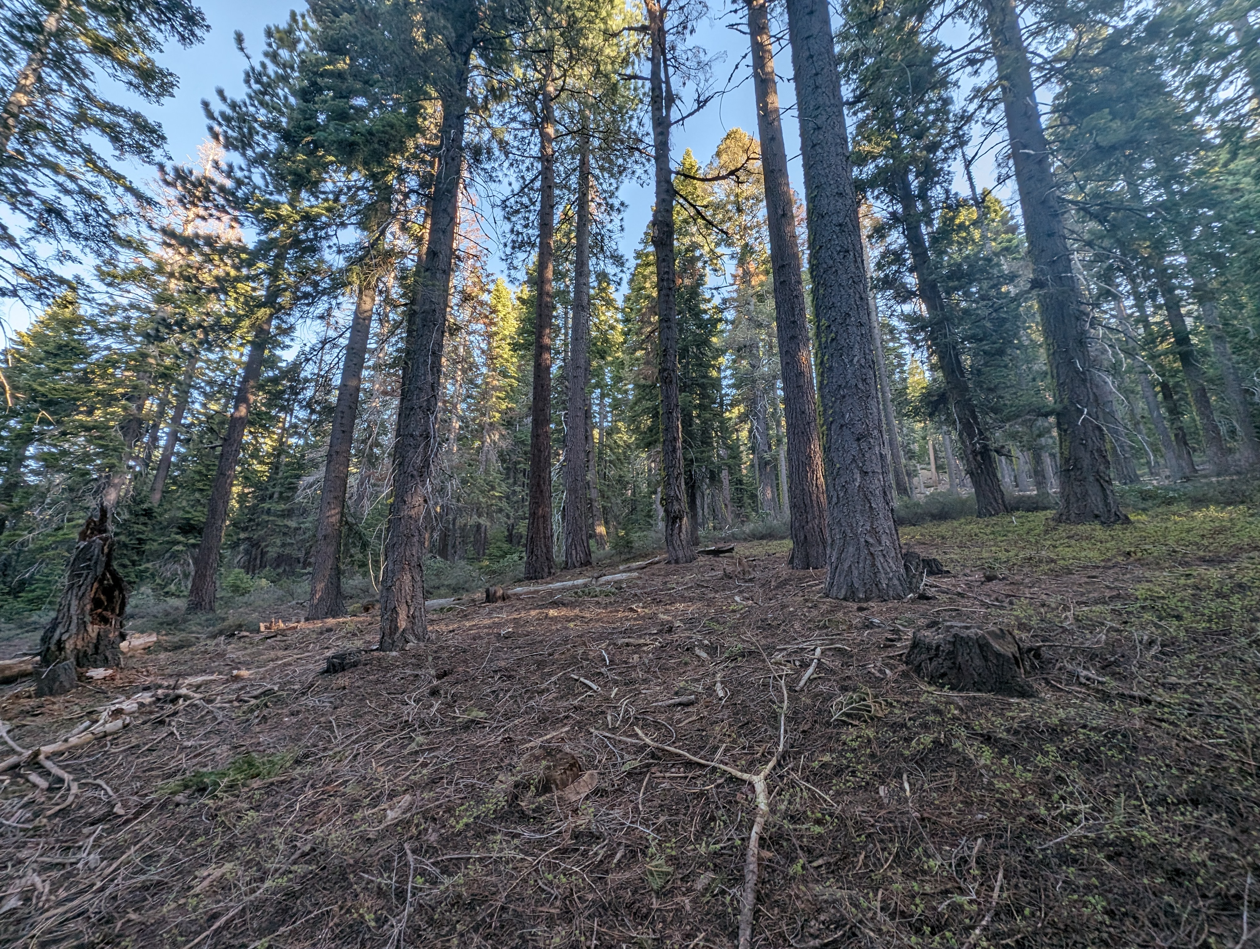 Shortly after leaving the paved road
The ridge was snow free for the most part where I gained it, at around 7300’, but that quickly changed. I picked up a mountain bike trail, which I was able to follow briefly before the snow became deep and mostly continuous around 7500’. From that point, I was just relying on a visual cues and a general sense of direction through the snow. This isn’t very hard on a ridge, as it only goes in 2 directions. I came across a road not too far beyond there, and was able to use that a bit as a nice clear path through the trees, but found it meandered a bit too much for my taste, and cut a lot of the corners out. Just east of Stanford Rock, there was a fairly steep slope that the road went around, but again, I just cut straight through. The snow around this elevation started getting quite deep, and there were essentially no dry patches at this point.
 This made me question if bringing skis was a good idea
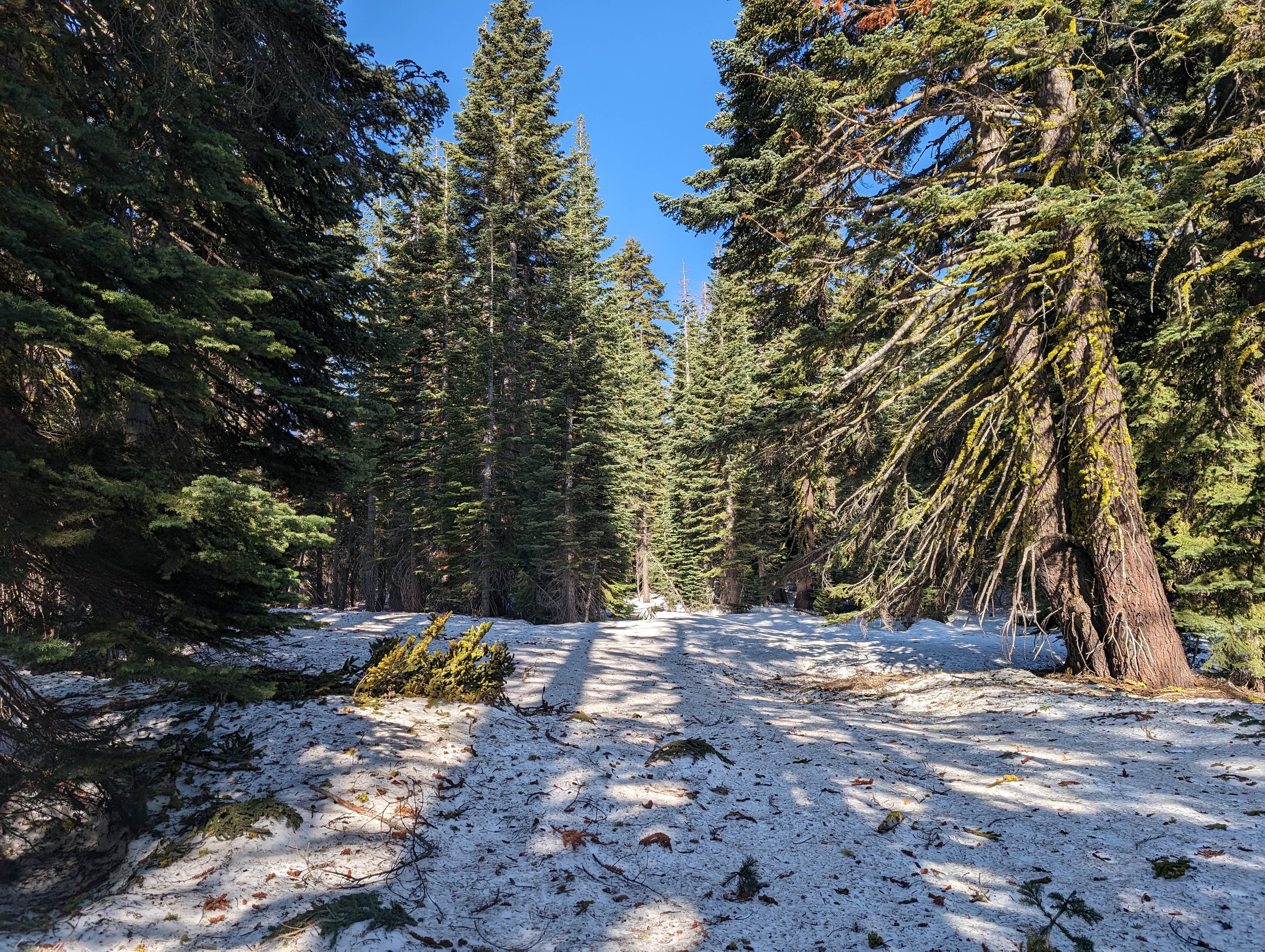 The snow coverage did get much better atop the ridge
I passed by Stanford Rock, deciding to save that for my return trip, despite being pretty close to it. The ridge then did a bit of a frustrating drop down about a hundred feet, then back up to around 8400 feet. Following that, it dropped yet again around another 300 feet, before flattening out a bit below Twin Peaks. I passed a TRT blaze at one point, and realized that I must have been in this exact place a few summers ago when I did this section of the TRT. The slopes again got a bit steeper, and the snow a bit deeper. It still felt like spring out here, despite it feeling more like summer at the trailhead.
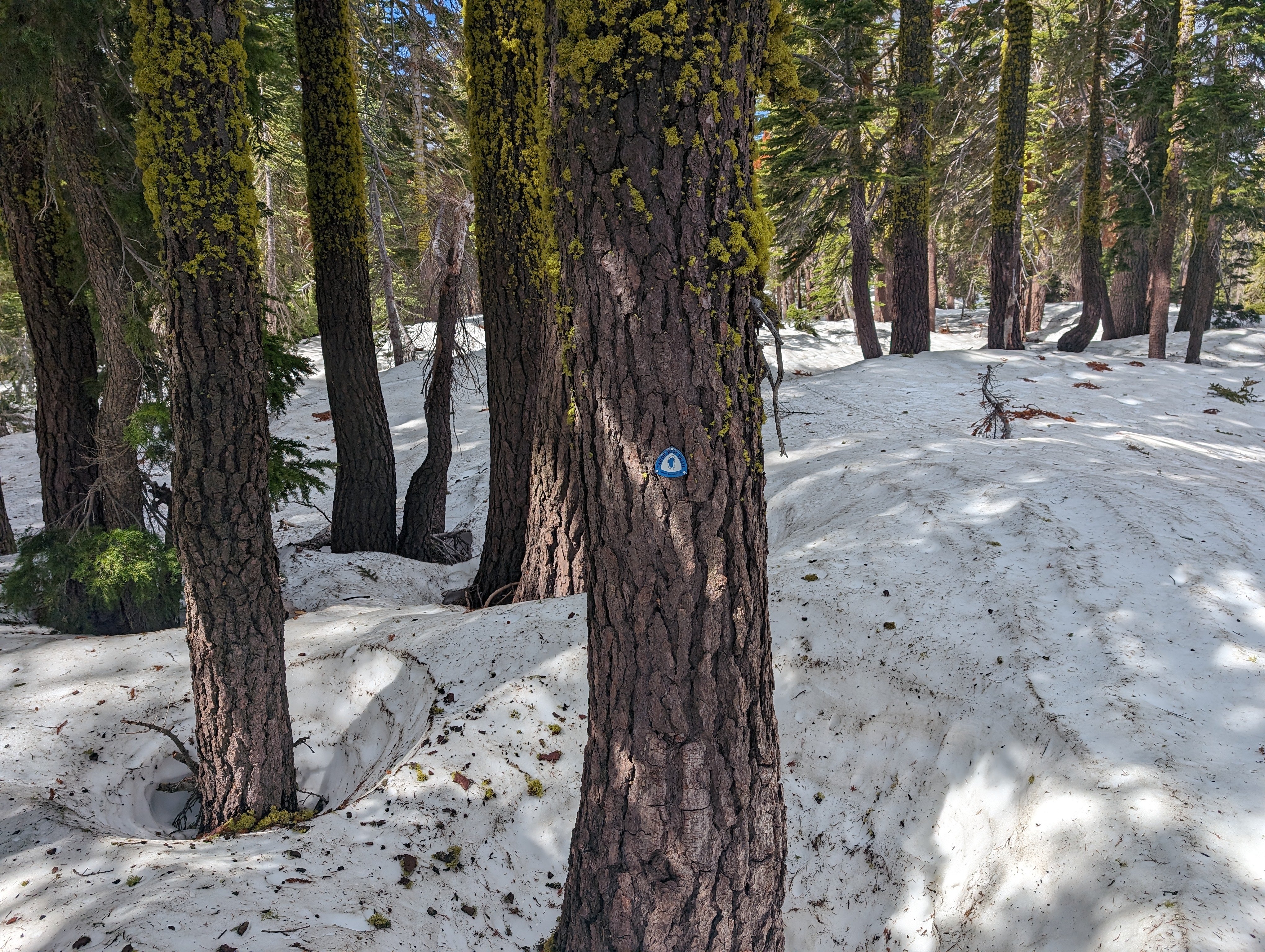 A familiar trail blaze
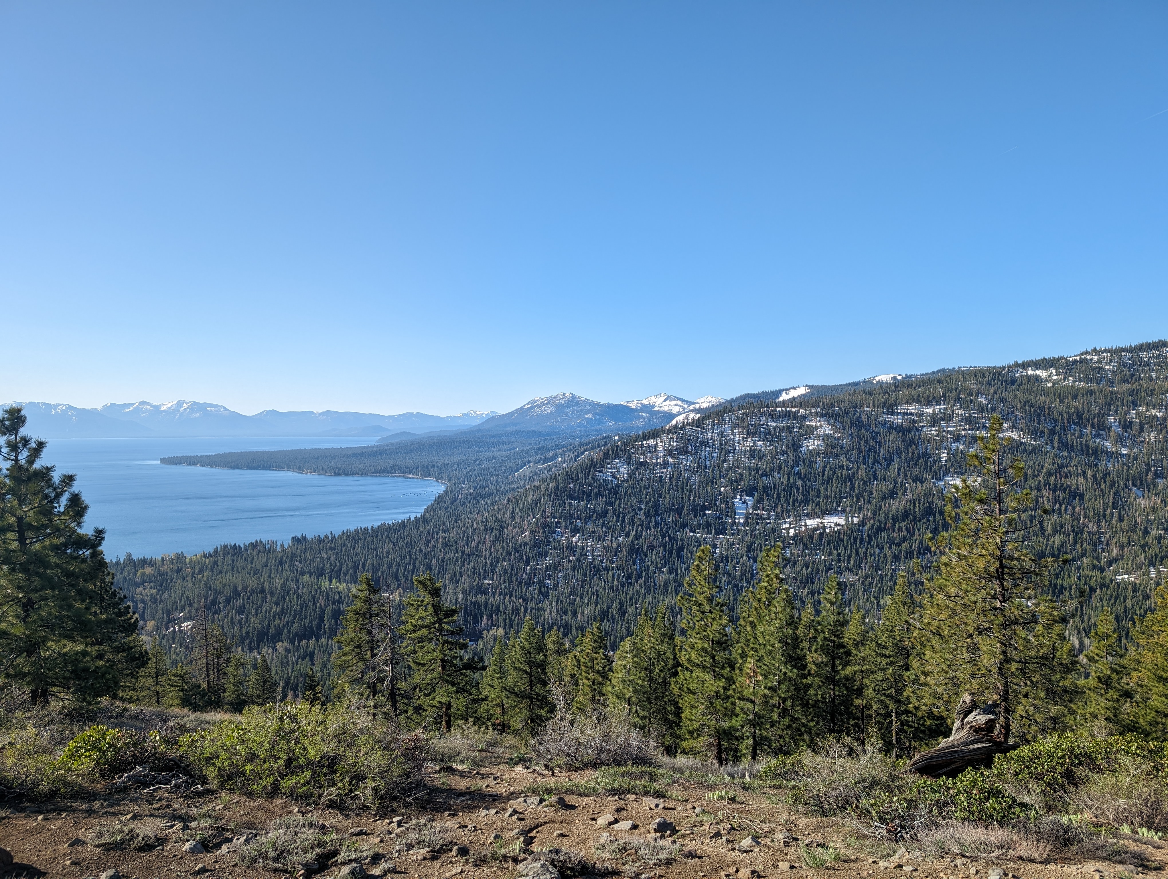
 Twin Peaks showing itself
Pretty soon I crested the ridge, and the final rock pyramid of the Eastern Twin Peak came into view, with a healthy cornice above a precipitous drop leading up to it. I gave the cornice a wide berth as I walked up the last bit of snow, where I dropped my pack and poles. From there, it was a steep, but easy class II scramble up the rocks to the summit. Despite just being a big pile of what appeared to be loose rocks, the rocks were held together very well. I found hardly any loose rocks as I climbed up. I made it up pretty quickly, and found a fantastic view at the top. I could see quite a few Ogul peaks I’ve climbed, a great angle of the Crystal Range, Hell Hole Reservoir, and of course a good view of Tahoe.
 The final rock scramble to the top
 Summit Panorama
I hung out for a few minutes, took some pictures, and did all the other things I normally do at the top of a mountain before heading back down to my stuff. Once back at my backpack, I pulled out my foam sitting pad and enjoyed some cold leftover pizza. The purple potato pizza from Slice House in Folsom is a great, albeit unconventional pizza. I didn’t linger too long, as the snow was already softer than I had wanted it to be. There didn’t seem to be a good refreeze, which typically is the time of year I give up on skiing and snowboarding near Tahoe. I switched into my ski boots, clicked in, and started to ski down.
 Looking back at Twin Peaks after skiing a bit
The skiing wasn’t fantastic, but not terrible either. There were some fun, fairly open sections below Twin Peaks, although that very quickly ended, and I was back at the flat section. I skate skied as far as I could before putting skins on to get back up towards Stanford Rock. The skin up wasn’t too bad, I stuck more to the proper ridge this time and made pretty good time. I dropped my skis where the snow ended, perhaps 50 feet south of Stanford Rock. I found a very nice pair of benches there, as well as a summit register. I took a few minutes to sit down on the bench (when in Rome…), and signed the register.
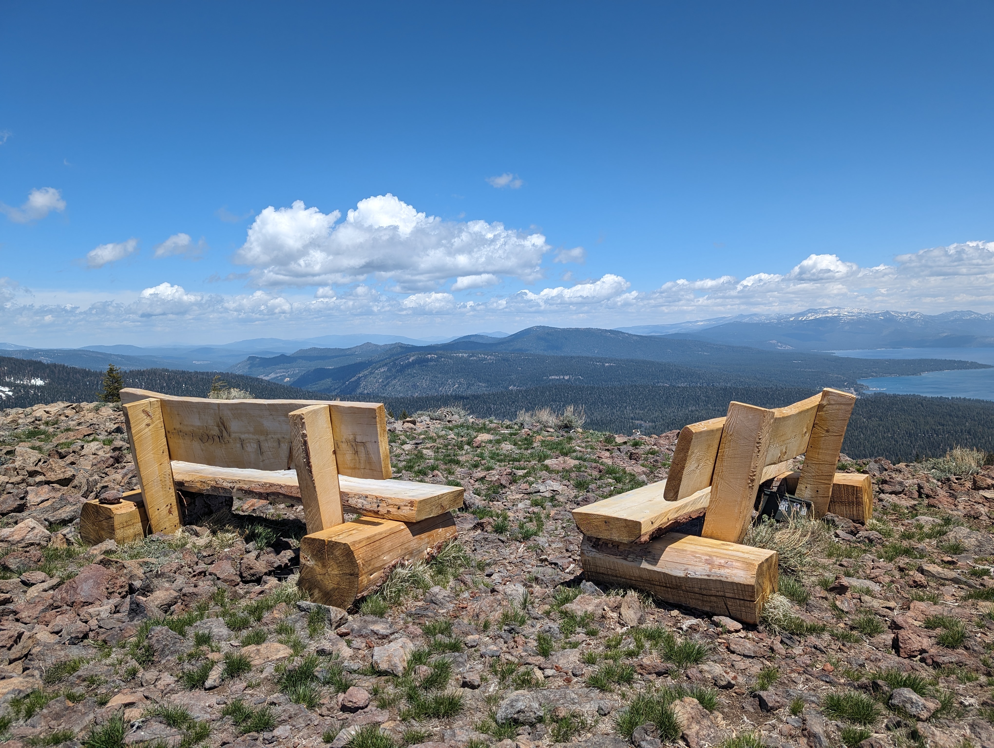 Stanford Rock Benches
I walked back over to my skis, clicked back in, and continued down. I found a few hundred vertical feet of pretty decent skiing here, weaving through some well spaced, older trees. Around 7700’, the skiing turned a bit scrappy as I did my best to connect patches, sometimes skiing on one ski to get through a section of thin snow. Around 7400’, I decided it was time to call it, and switched back into my shoes and saddled the skis back up. I opted to take the summer trail back down to the sno park for the return trip. This ended up working out quite well. I was able to keep track of the trail fairly easily, although I did lose it a few times in large snow drifts. The trail popped me out into a residential street, which I took down to briefly join the bike path along highway 89. I made it back to the sno park/campground around 2:30, making my round trip just a bit shy of 8 hours.
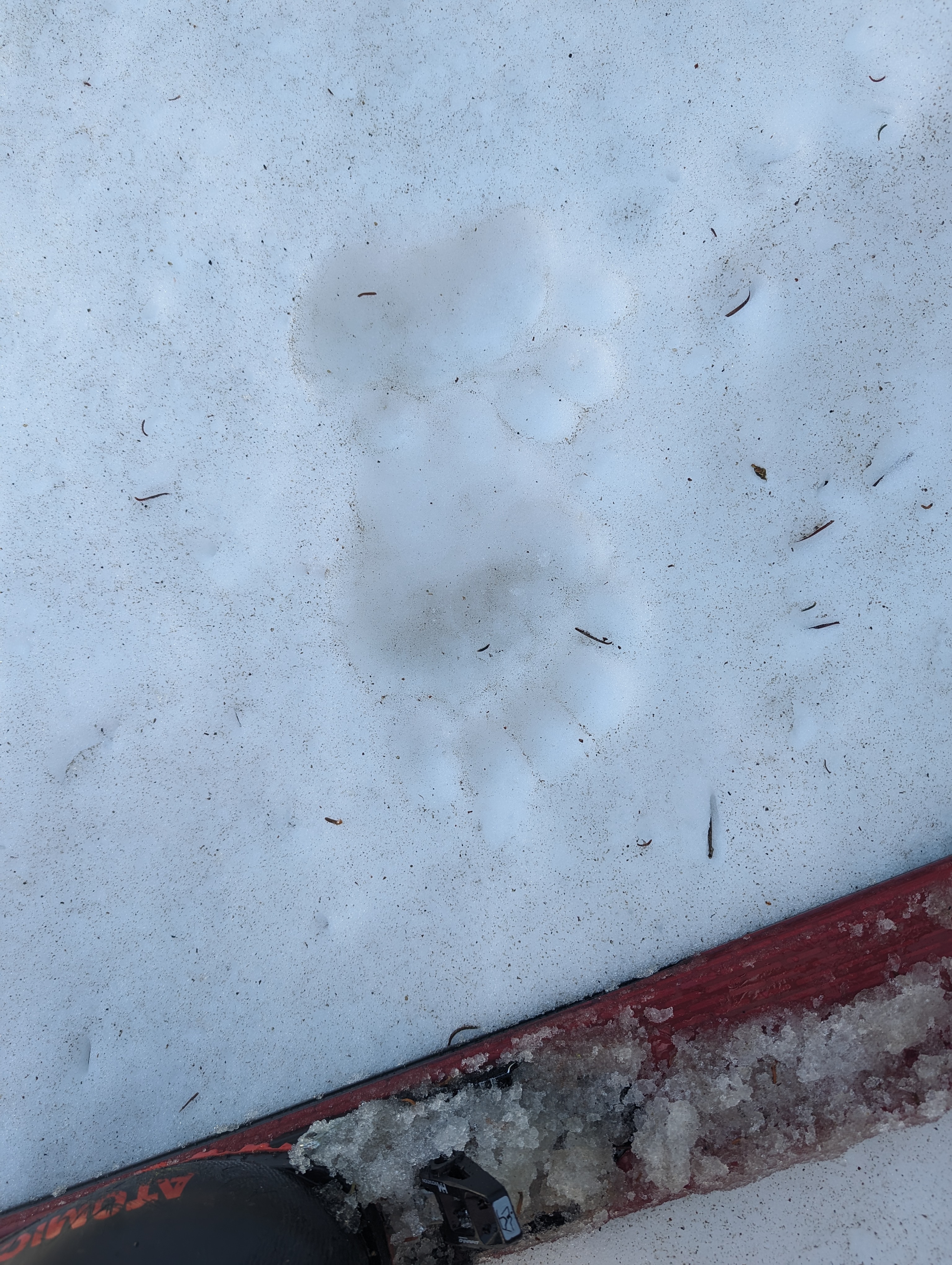 Bear tracks, just like I had seen across the canyon on the way down from Ellis Peak
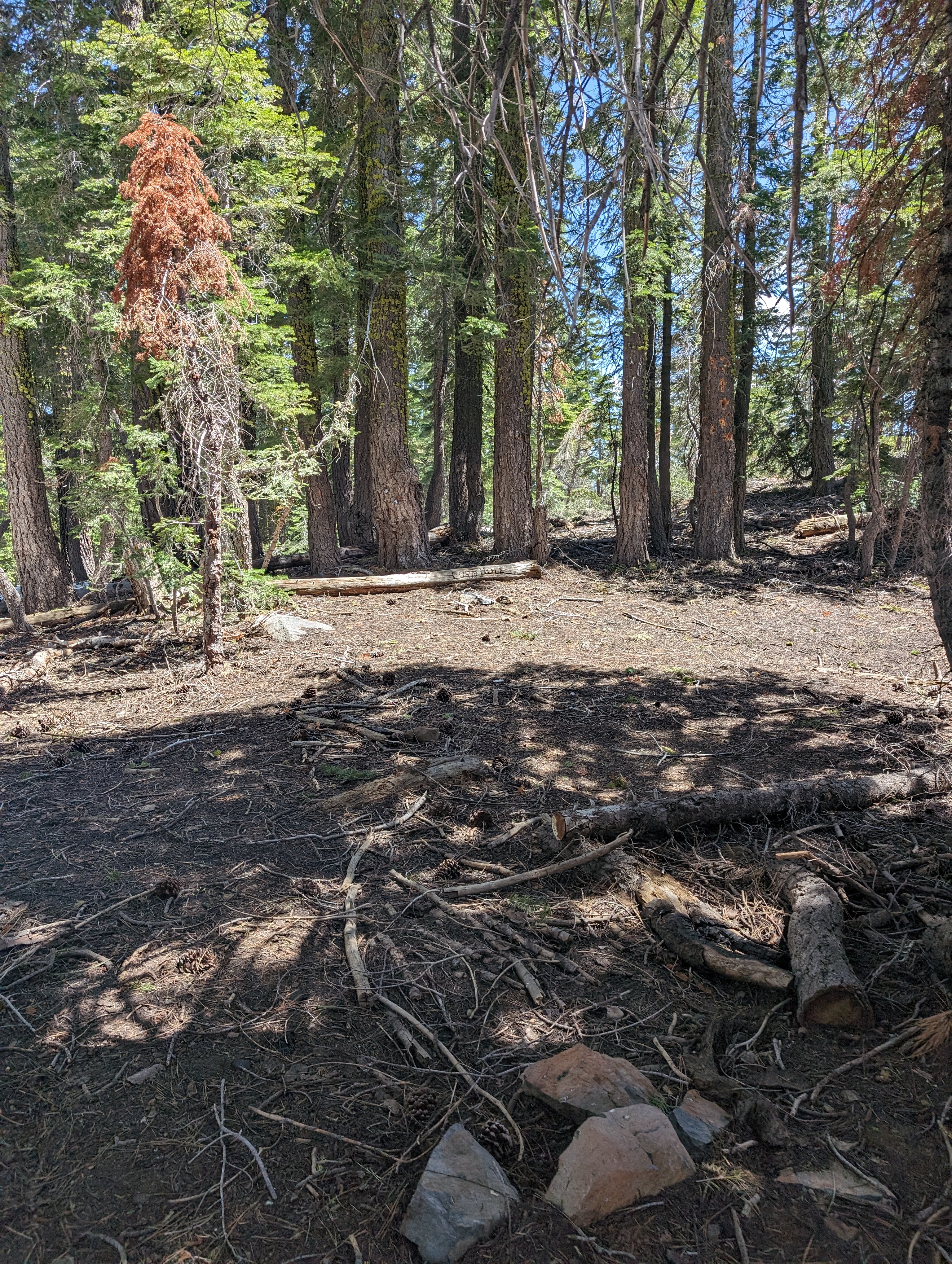 A vandalized log
Route
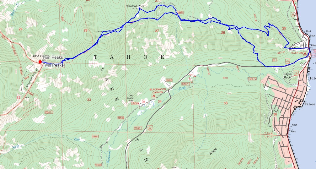 My route
GPX Track Download
My route
GPX Track Download