August 13th, 2023
My dad joined me for Mt Mildred, and we decided to approach it from the Hell Hole side. Its a bit closer to where we live, and seemed like the less traveled route. I mapped out the route the best I could from blindly looking at forest service topo maps, and we drove my truck as far as we could up an old forest service road below Chipmunk Ridge, which leads towards the western flank of Mt Mildred. From where we parked, there was no trail, nor did we really ever find one all day. However, the ridge seemed like it would make navigating somewhat easy. We bushwhacked a bit up a steep hill, and gained the ridge in perhaps 20-30 minutes.
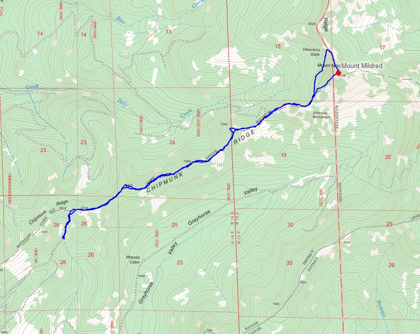
 Looking towards McKinstry Peak from where we gained the ridge
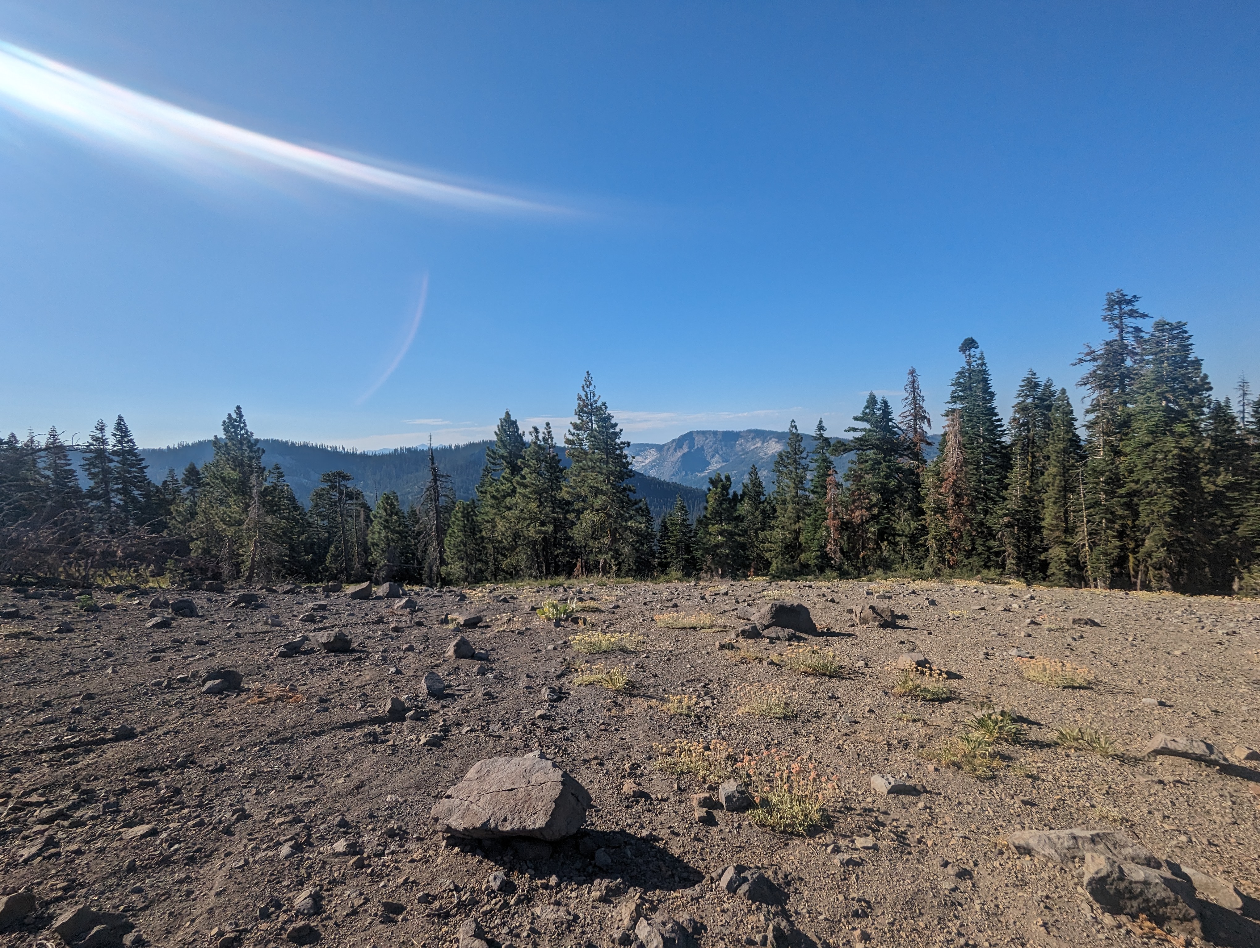
 Typical walking conditions on Chipmunk Ridge
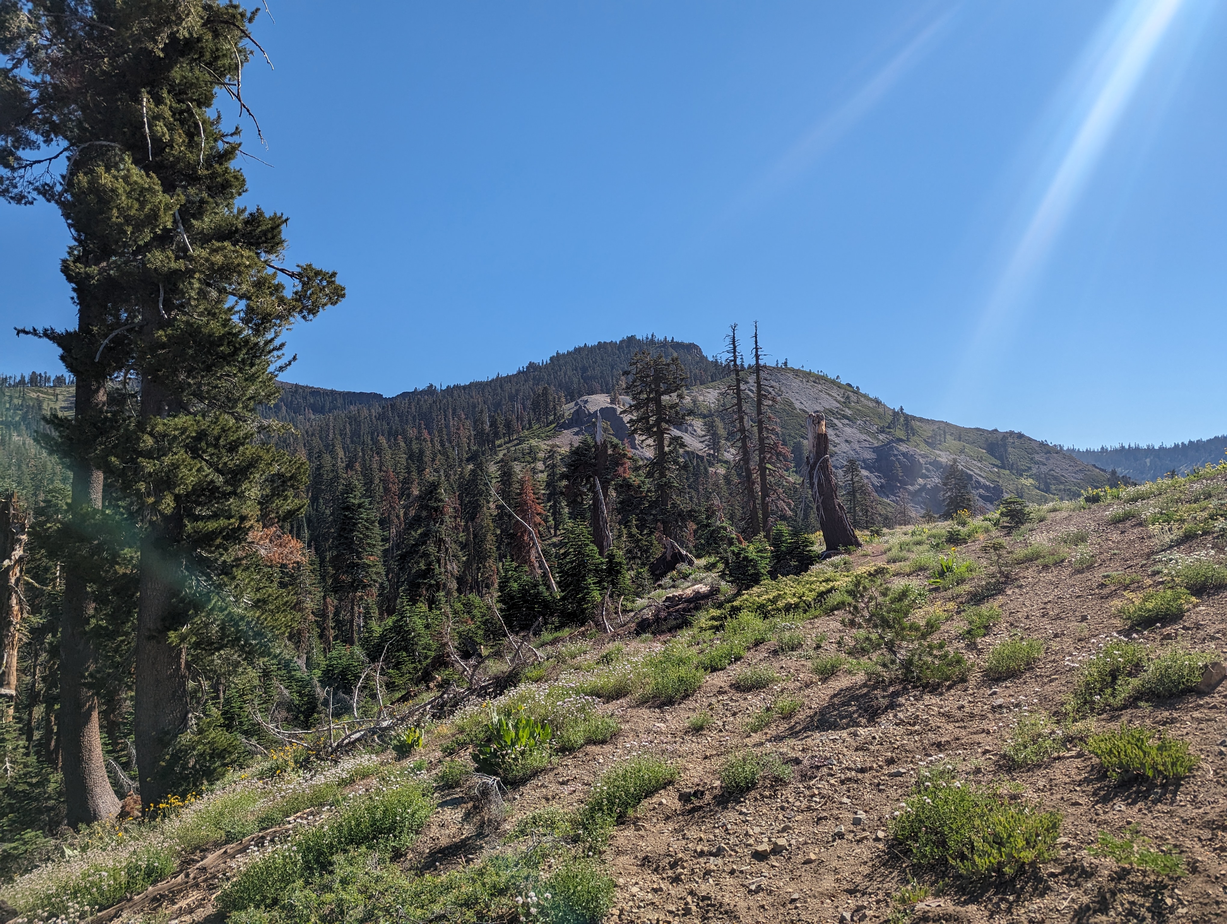
Once we were up on the ridge, the navigating indeed was pretty simple, we could see a good distance ahead of us along the crumbling volcanic ridge, and off towards the Granite Chief Wilderness to the east. We made our way along the ridge with relative ease, although there were some short but intense bursts of bushwhacking occasionally. For the most part though, it was just easy walking along the volcanic ridgetop. Mule’s Ears apparently are quite fond of the soil up in that area, although they were past their blooming prime. I’d imagine its a great place to visit during the height of them flowering.
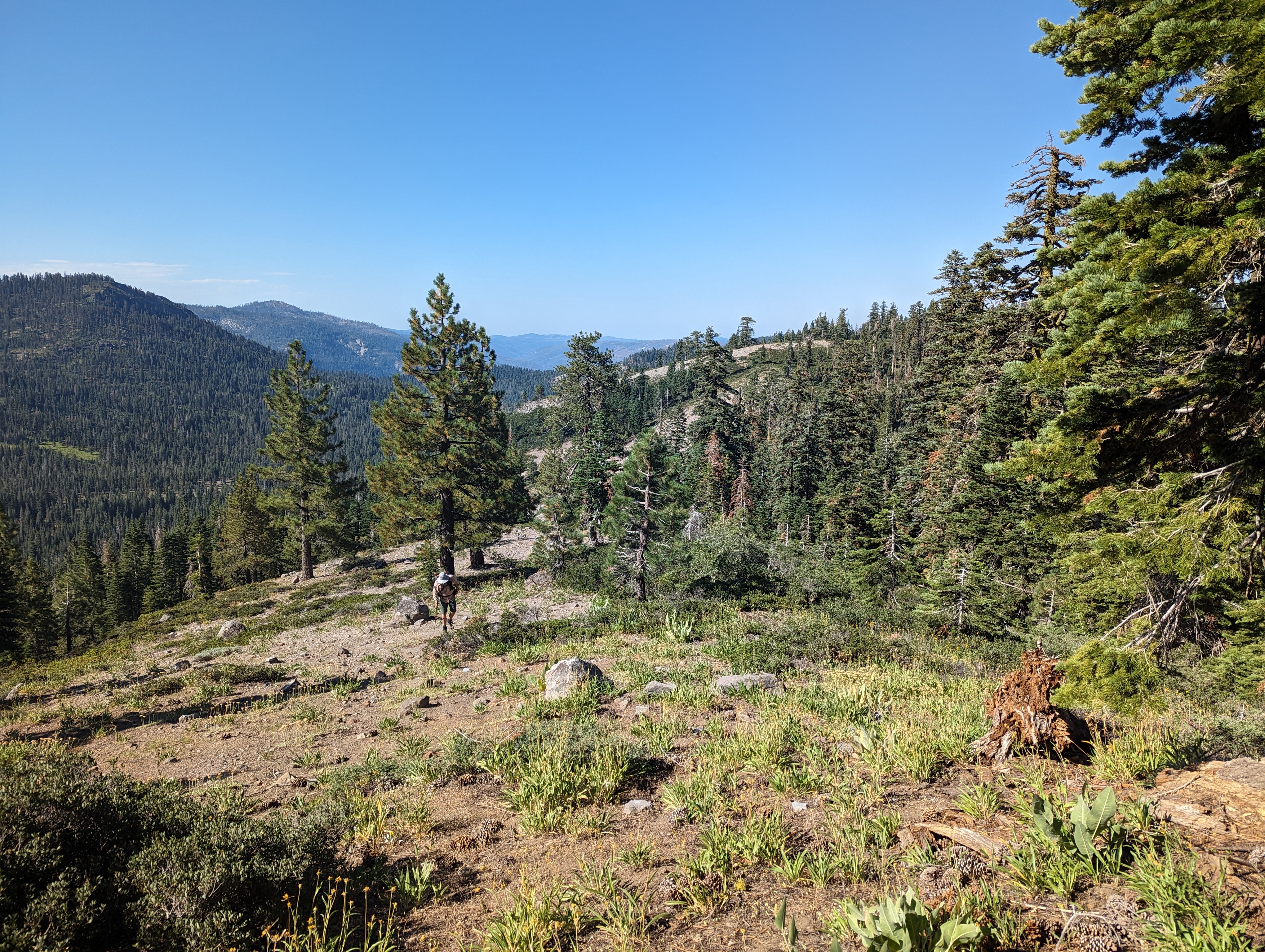
 Mildred coming into view
The ridge made a few dips, but generally continued in an upward direction, at times leading us through some rocky outcroppings. Around 10AM, we came to the first of 2 rock “monuments”, which I had seen on the map. I was expecting some sort of plaque, but instead what we found was a big volcanic plug sticking out of the ground. 20 minutes later or so, we came across the second monument, named the Johnson Monument on my maps. This one was far more impressive, easily nearing 100 feet tall. After admiring it for a bit, we continued up the steepening ridge towards Mildred, which was coming into view nicely.
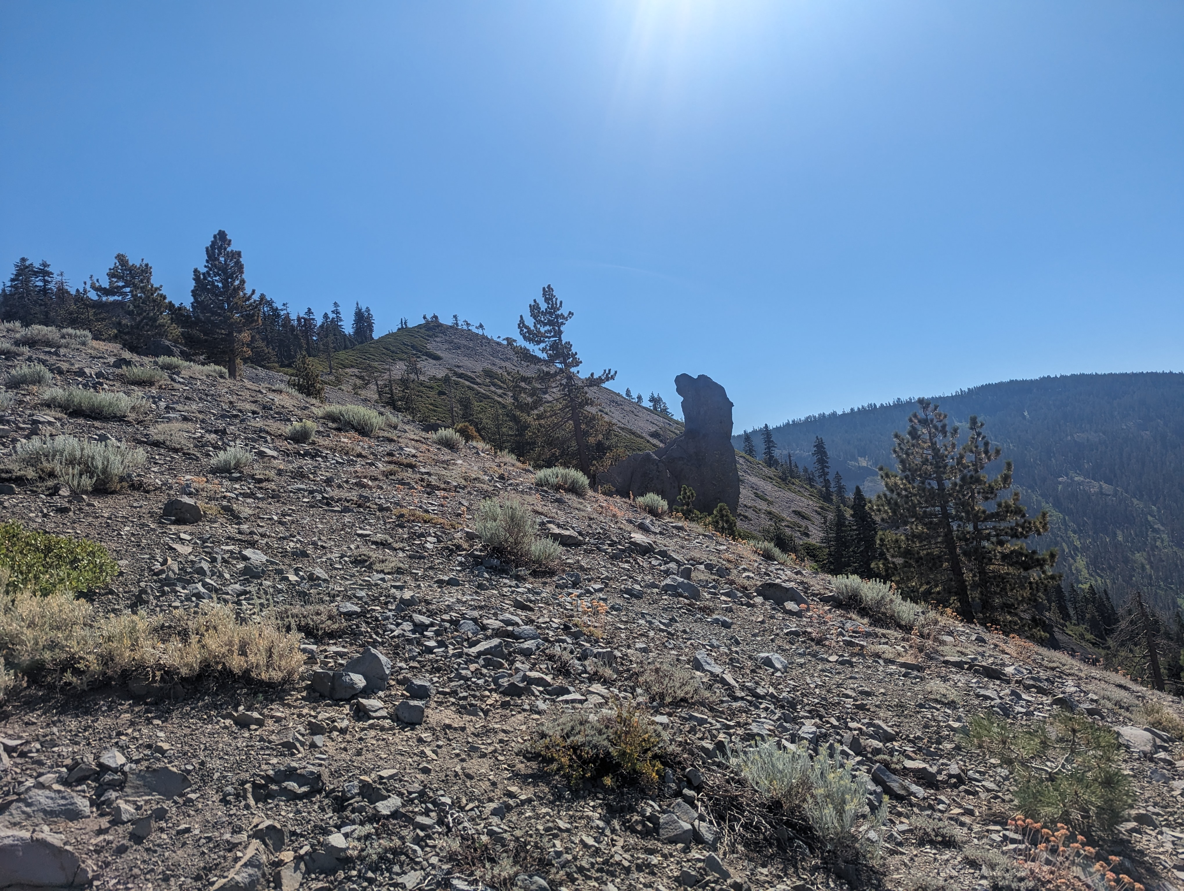 The first smaller monument
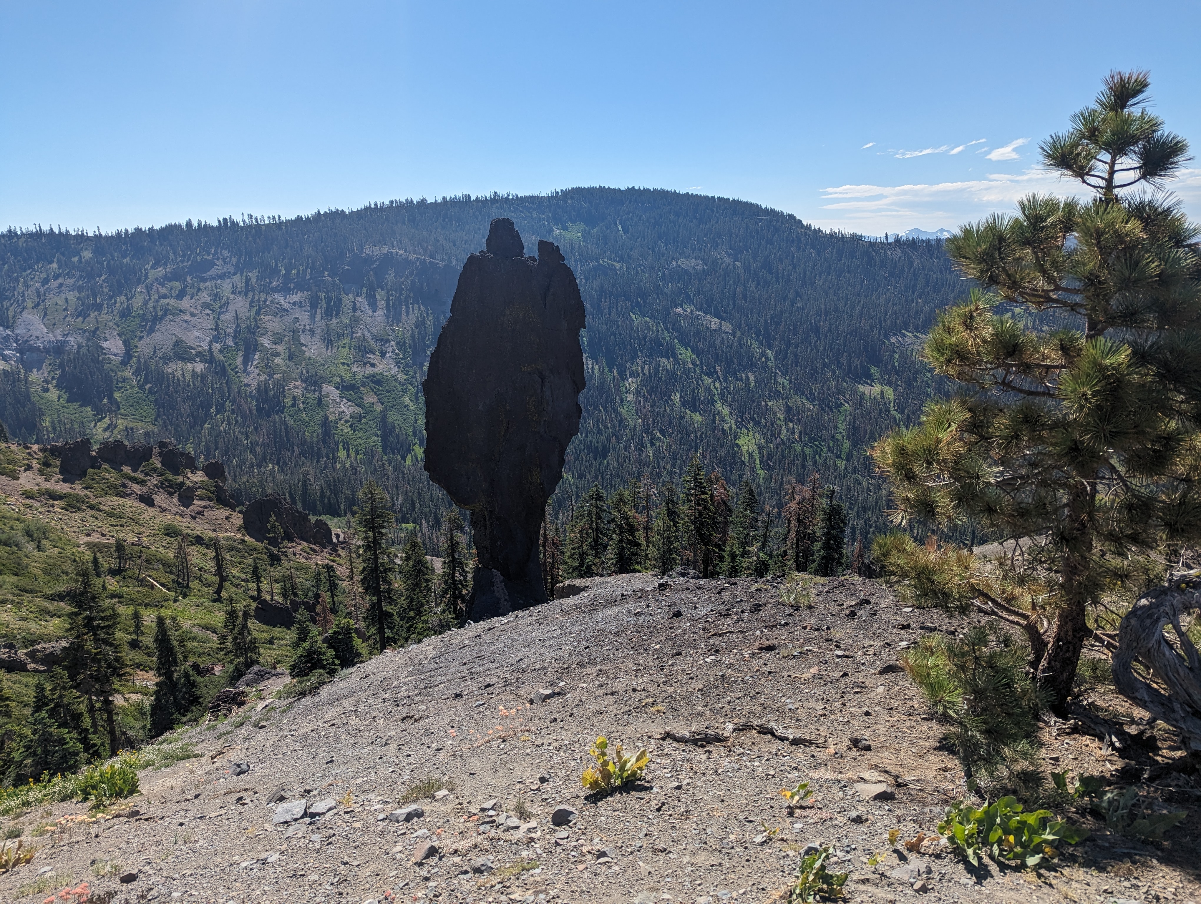 The Johnson Monument
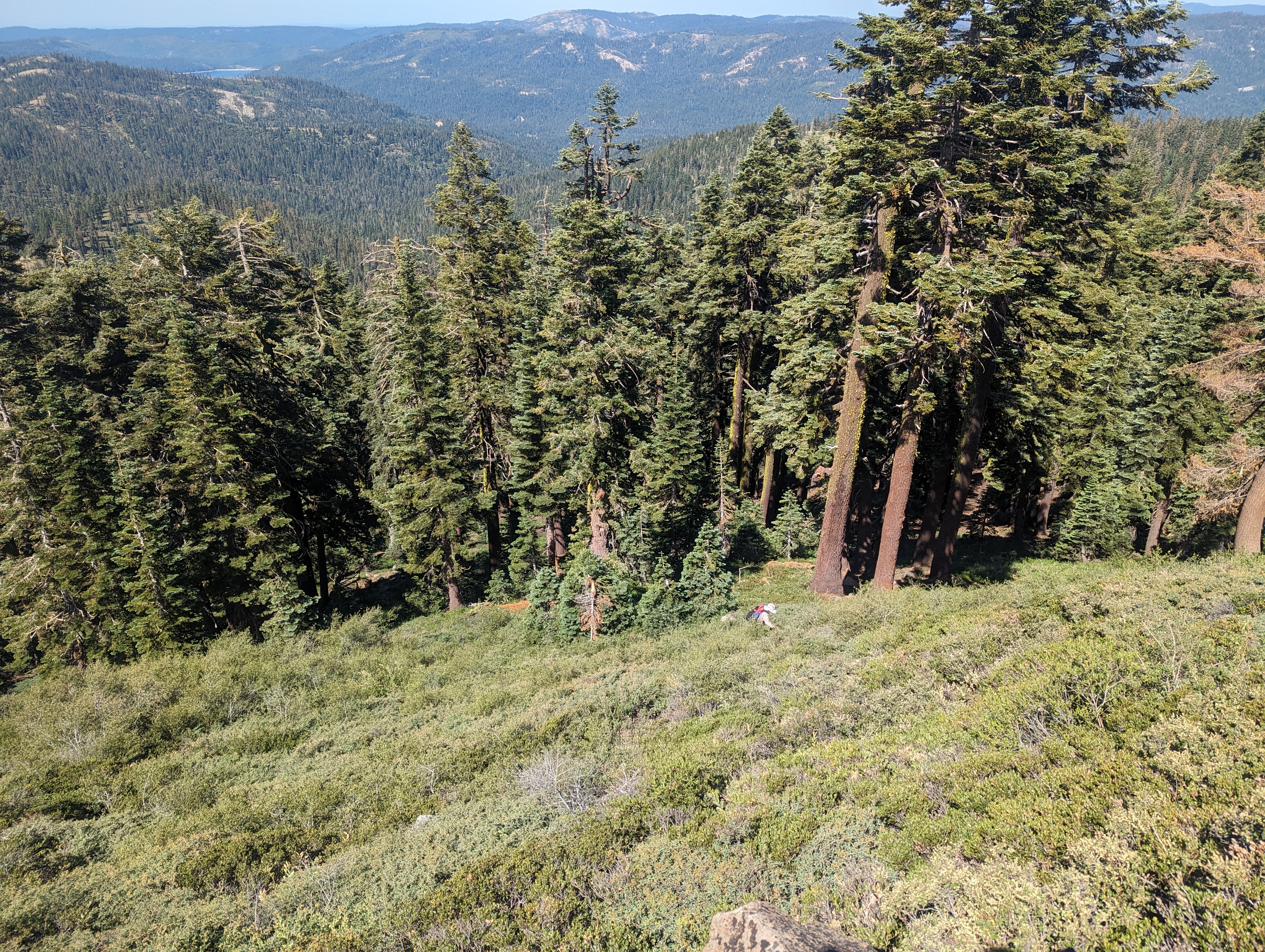
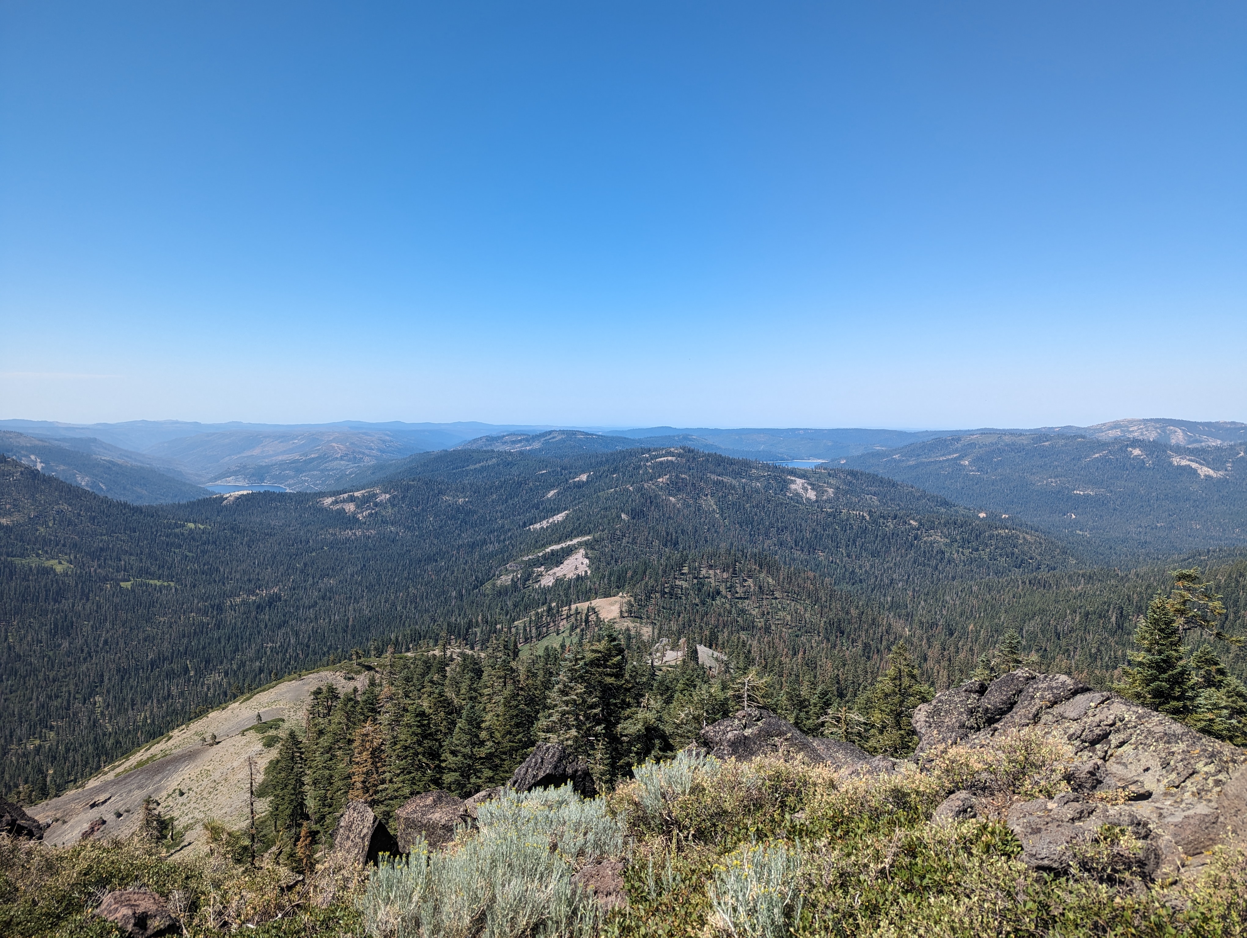
As we neared the final slopes up Mildred, we saw that there was an inevitable bushwhack ahead, and it did not disappoint. We struggled up a steep slope with 3-4 foot deep bushes, swimming uphill for a hundred yards or so. Once we got to the top, the going got easier, and it was just a simple walk to the summit. The summit had some great views towards Desolation Wilderness to the south, towards Castle Peak to the North, Hell Hole to the west, and east into the Granite Chief Wilderness. We hung out for a good 30 minutes and ate lunch while soaking it in. Inside the summit register, we found some pretty old signatures, including one from Pete Yamagata, who had placed it back in 1995. The register was clear evidence that this summit does not see a lot of traffic.
 My dad making his way up the hellish bushwhack
 Hell Hole on the left, French Meadows on the right
 Summit Panorama
For the descent, we decided to swing to the north a bit, and check out a feature named “Heaven’s Gate” on the map. Heaven’s Gate is a formation of basalt columns in the col below Mildred. It forms an opening in the col, somewhat similar to Devil’s Postpile, but with more of a “gate” shape. The route reconnecting us to Chipmunk Ridge from there was actually a good bit easier, we bypassed the bushwhacking, and instead just got to walk through some fairly mature and well spaced trees. We found a nice patch of snow at one point, and I stopped to fill an empty bottle with it so that I could make one of my trademark electrolyte slushees. We soon got back to the ridge and retraced our steps back the way we came.
 Heaven’s Gate
 My Snow Slushee
The return trip was fairly uneventful and easy. We made pretty good time, but were definitely a bit tired of dealing with all of the bushes and deadfall by the end of it. Before too long though, we were back at the point where we had gained the ridge, and made the easy walk down through the dense forest and to my truck, enjoying a nice field of Mule’s Ear right at the end of the hike.
 The field of Mule’s Ears
Route