July 29th, 2023
My wife and dog joined me on this fine Saturday, we made the bumpy drive out to the Grouse Ridge trailhead. It wasn’t terrible, but definitely was slow going and quite dusty and bumpy. When we arrived, there were quite a few more cars than I had expected, turns out there’s a campground out there thats fairly popular. There was even a Honda Civic that had somehow managed to pull a trailer out there. Mad respect to that guy, he either knows a better route, or is quite the skilled driver.
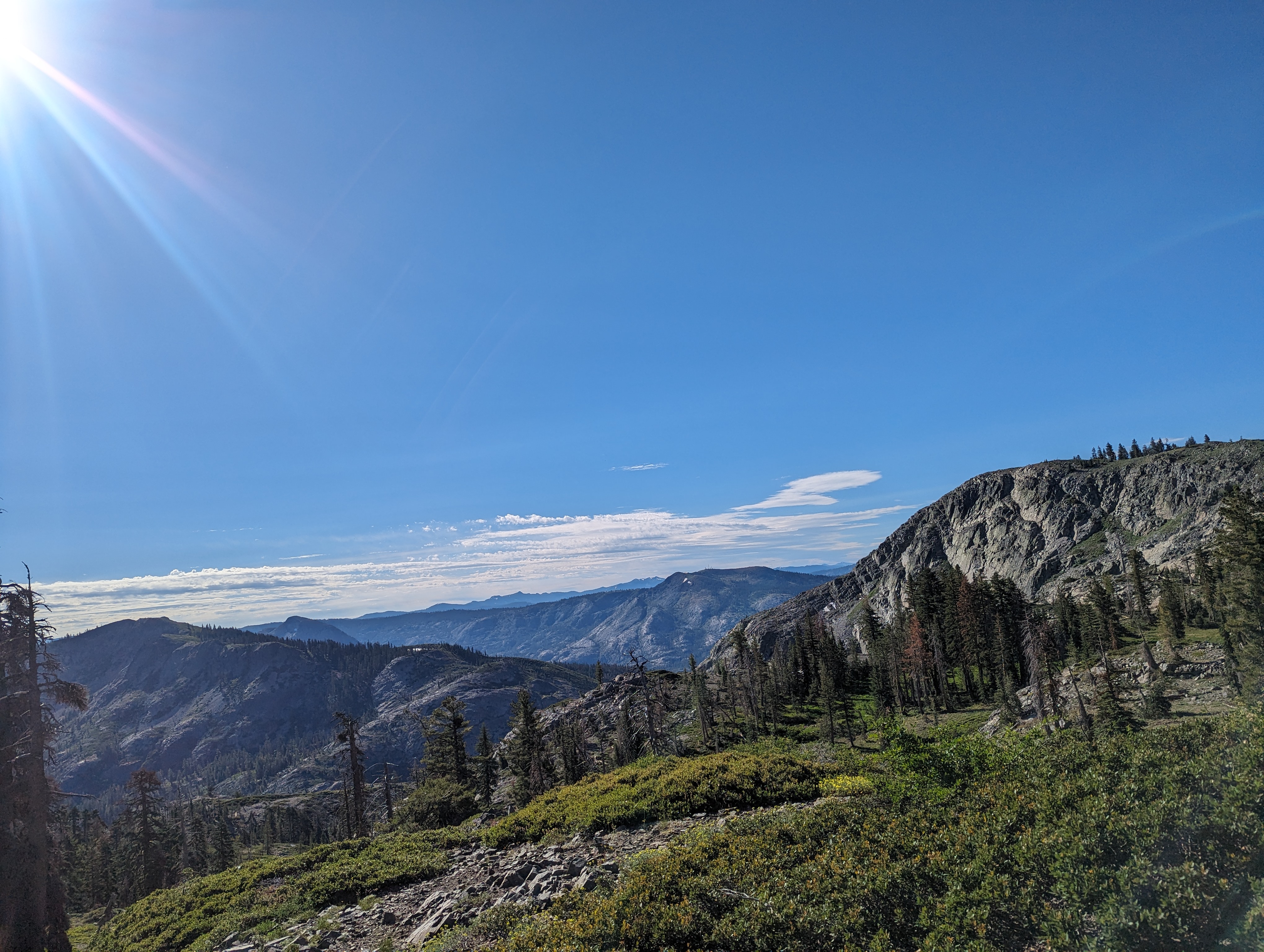 Great views near the trailhead
We found a place to park, and were on the trail around 8:45AM. The trail starts at a point where a few ridges meet, so the views were instantly pretty great, we could see the Black Buttes off in the distance. About a mile or so in, we made a wrong turn, and had descended all the way to the shore of Downey Lake before I realized out mistake. George was more than willing to make the best of the situation, and went for a swim in the lake. After George was content with his swimming, we made the small climb back up to the trail.
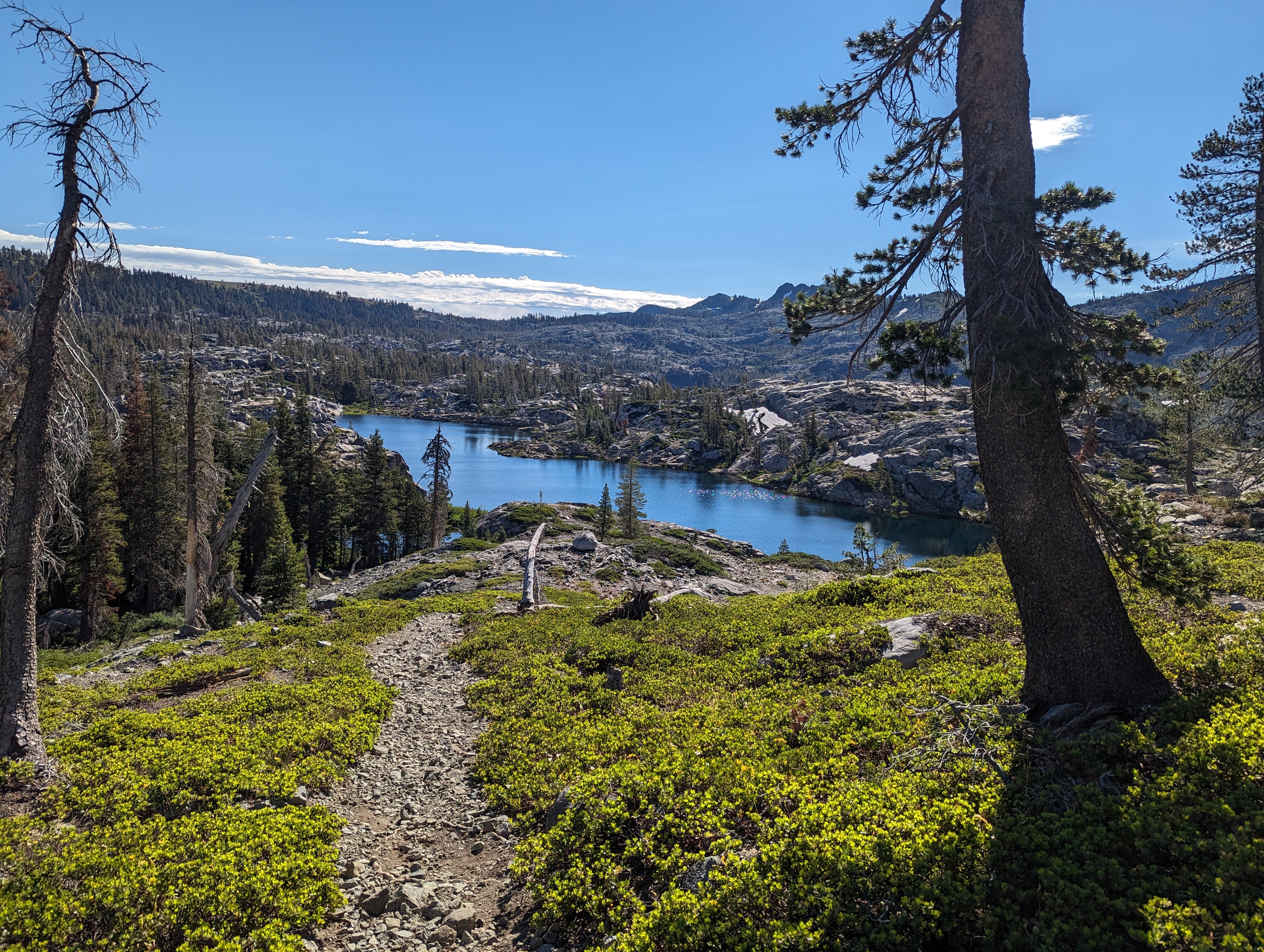 Downey Lake
 A brief detour at Downey Lake
 George Enjoying a nice meadow
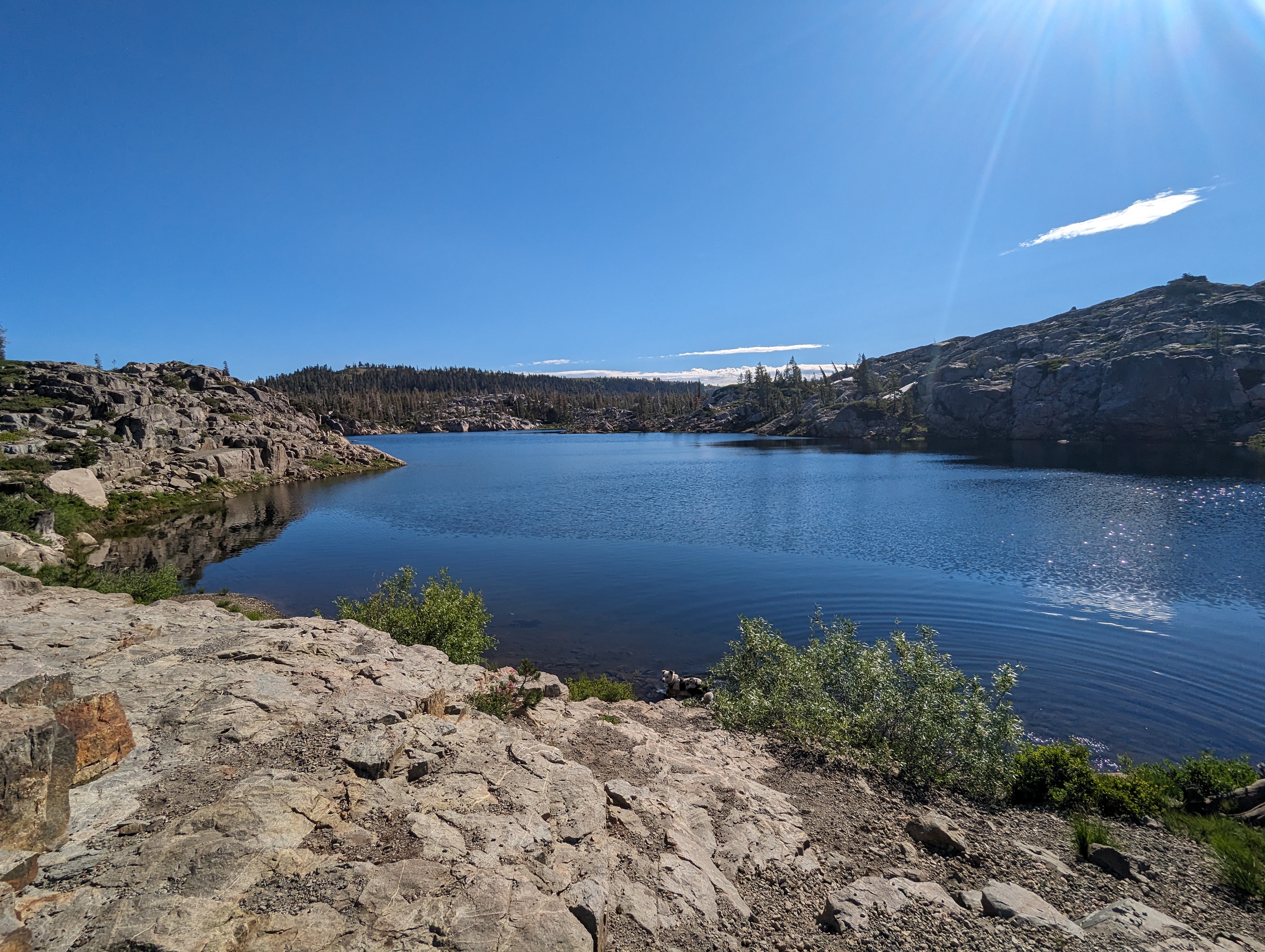
From there, the trail was relatively easy and mellow. Staying moderately flat, and with a pretty consistent forest canopy to keep us out of the sun. Eventually we came to the Sand Ridge and Grouse Lake trail junction, and went to the right, towards Glacier Lakes. The route became bit more sunny, and we walked through some nice meadows before starting a moderate ascent up to Glacier Lakes. We crossed a few more creeks, which George was happy to swim in and cool off. Before long, the Black Buttes came back into view, and we were at Glacier Lake. We walked around the lake a bit to try to find a good way up, and George once again went for a swim. I found a decent looking route that went directly up a chute above the lake to a saddle just shy of the summit. My wife and George decided to hang out here while I made a quick dash for the summit.
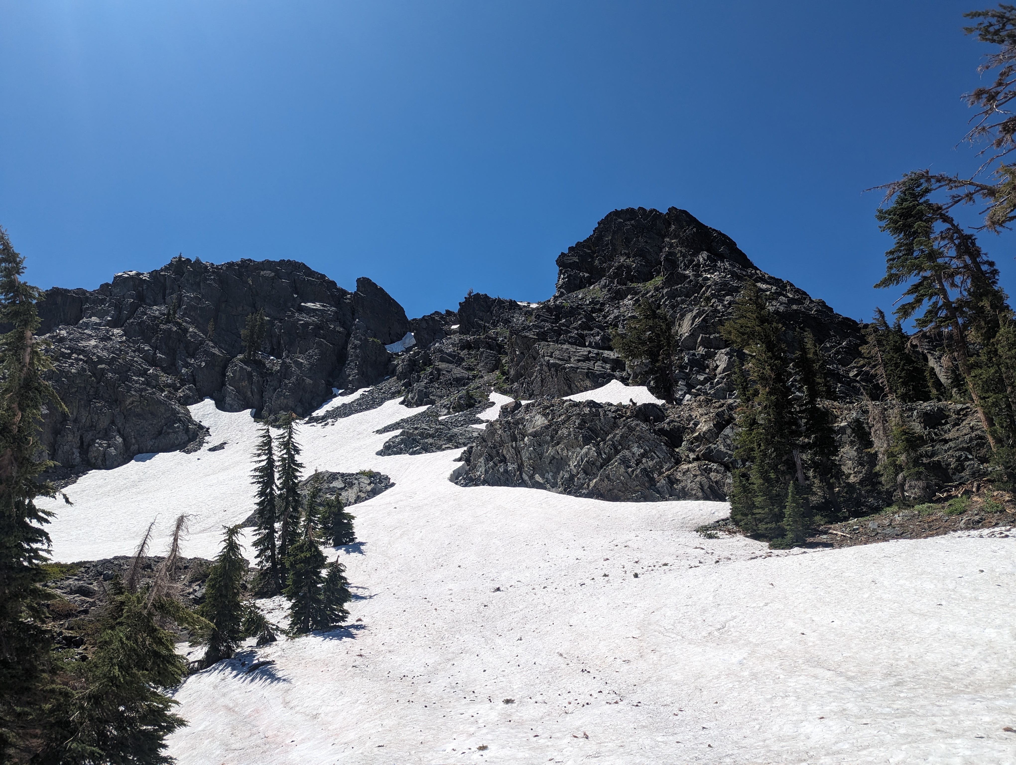 Looking up the chute towards the peak
The chute was fairly easy, pretty deep but supportive (for late July) snow up the lower half, which turned into a class 3 rock scramble a bit higher up. I made pretty good time, and was soon at the saddle. I couldn’t quite tell which one was the summit, so I first went to the east one. I got to the high point over there, and quickly realized that the west one was actually the proper summit. So I doubled back, and made another short scramble up to the top of the West Summit, which was clearly higher. Most maps seem to indicate the Eastern point being the summit, but that phenomenon seems pretty common on the Ogul Peaks. I didnt find a register (although in hindsight I’m sure there’s one somewhere), so I placed one that I carry around just in case on the Western summit.
 Summit Panorama
 Looking back down from the saddle
As I made my way down, I struck up a quick conversation with some folks over on the Eastern summit, they seemed to agree that the West one was clearly higher. Regardless, I made my way over there just to be certain that I had tagged the proper peak. I made quick work of the climb back down the chute, and enjoyed a nice glissade (does is count as a glissade if you’re sitting on your butt?) back down to my wife and dog near the lake. We started making our way back down the trail after a few minutes of rest. About a mile down the trail, we found a nice log to sit on and eat lunch. I enjoyed one of my favorite mountain lunches, a bag of chips and a roast beef sandwich.
 George eagerly leading the way back
The walk back was somewhat long, but mostly uneventful. Before too long, we were back at the trailhead and ready to head back into civilization.
Route
 My route
GPX Track Download
My route
GPX Track Download