July 10th, 2024
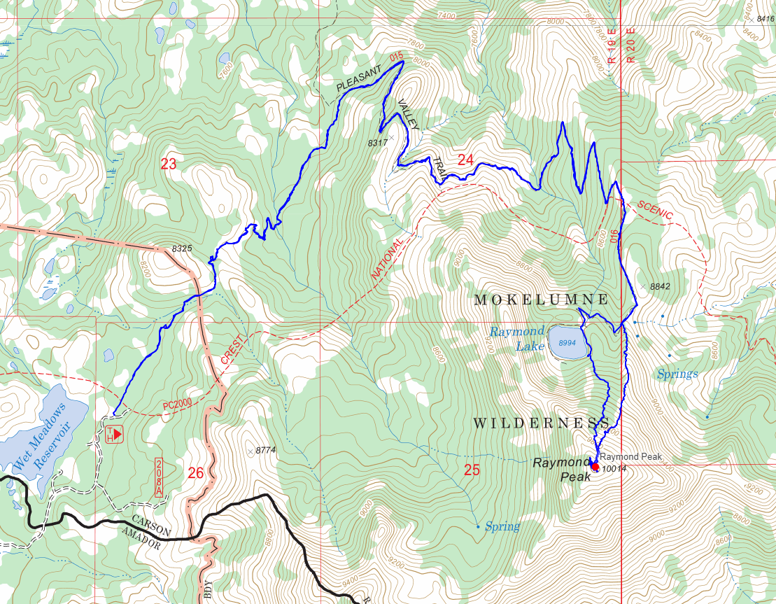
After a night at one of my favorite campsites along Blue Lakes Road, I set off at a leisurely time of 7:30 or so towards the trailhead. The drive was fairly short, putting me at the “trailhead” around 7:45. I was using the forest service topo map as my guide, which didn’t quite lead me to the proper trailhead at Wet Meadow Reservoir, but I figured it was close enough. I parked my truck, and started walking up the muddy road to find where the actual PCT crossed.
 Just ahead of where I parked
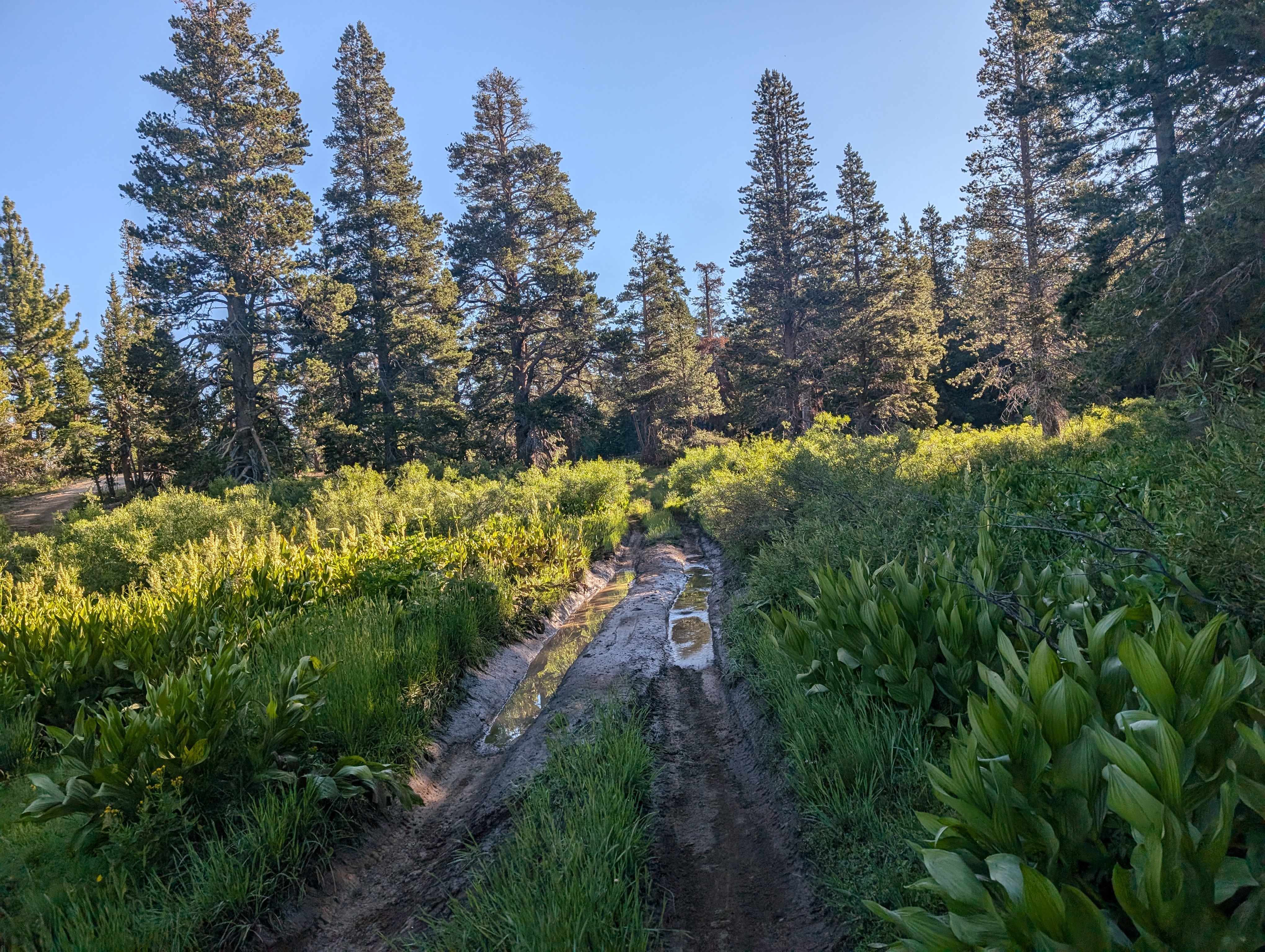
About half a mile or so down the road, I found the actual trailhead, which had been mostly destroyed by downed trees, and clearly doesn’t see a ton of love from the Forest Service. This starts off at a short spur trail, which meets the Pacific Crest Trail in a few hundred feet. The mosquitos were quite bad through here, so I put on my head net and tried to get through the area quickly. After joining the PCT, the trail loses a bit of elevation as it goes through a small valley. The soil is volcanic looking, as is most of the surrounding area. I have always enjoyed the area between Carson and Ebbett’s Passes.
 On the PCT proper
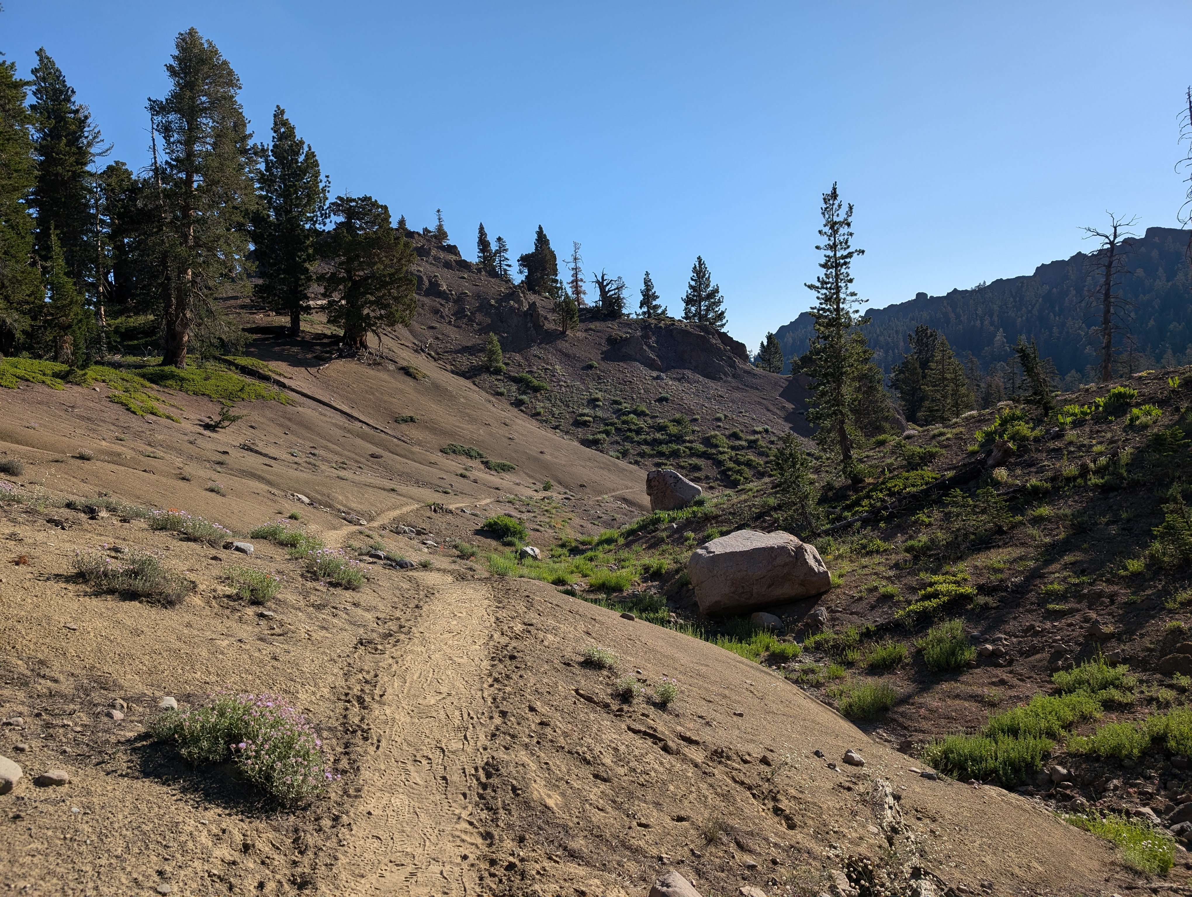
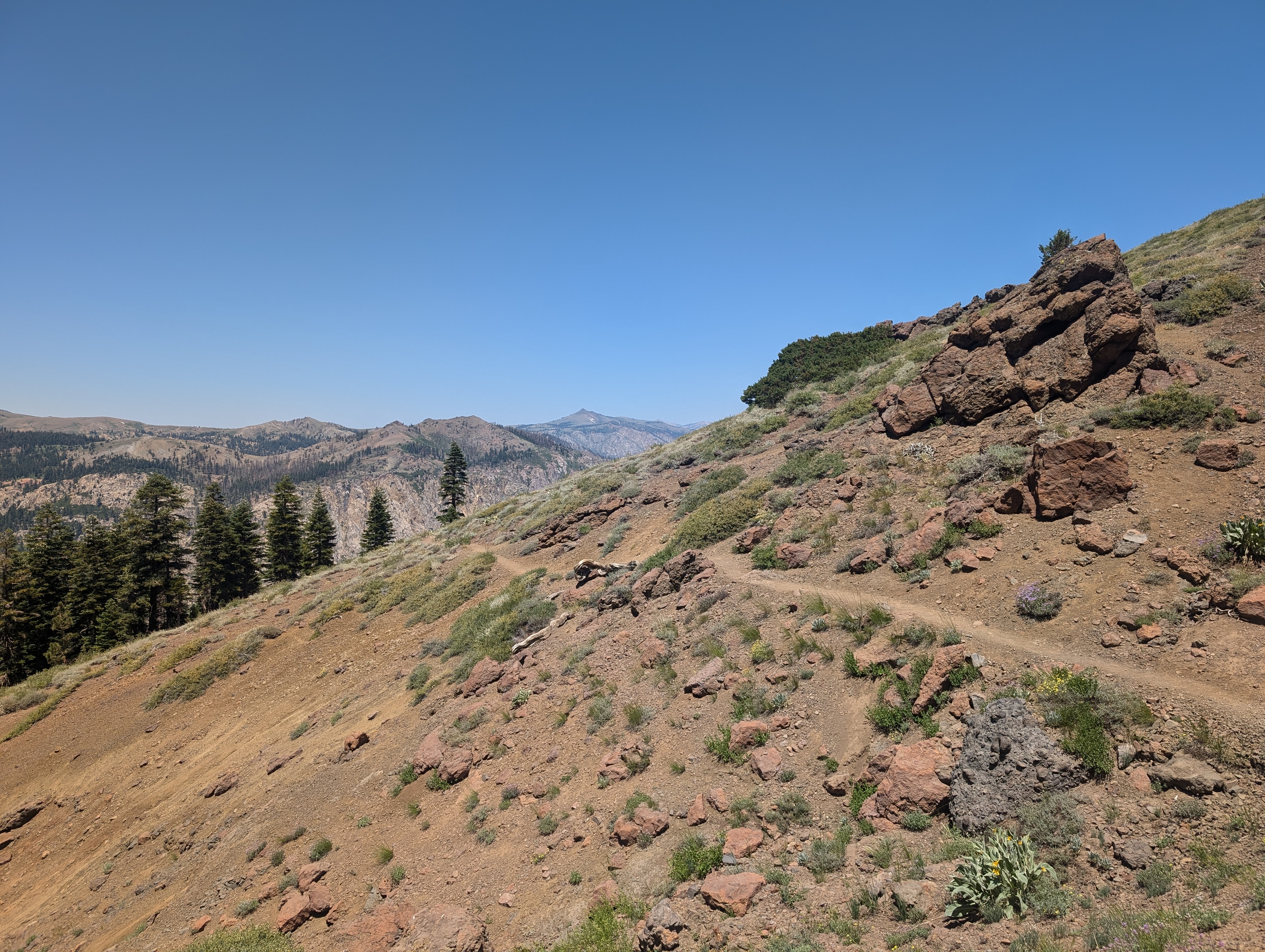
After a somewhat long, yet mellow downhill, the trail begins to head back up towards the crest. The route continues up higher on the side of the ridge, and truly feels like a “crest trail” during this time. I passed a handful of PCT hikers, stopping to talk to a few. I talked to one group of older backpackers that had gone to Raymond Lake the previous night. When I told them I was climbing Raymond Peak, they said that they had made it near the summit, but turned around due to the loose rock. After winding along the trail for a few more miles, I was finally at the junction for Raymond Lake.
 The PCT living up to its “crest trail” name
I took the junction trail, and followed it nearly to Raymond Lake. I didn’t have a solid plan in place just yet, I wanted to get close and just feel it out as I went. As I rounded a turn, I looked up at a fairly gradual ridge that formed a ramp to the summit area, I knew right away that this would be my route. I quickly got off of the trail, and started cutting up the ridge.
 Heading towards the peak, off trail
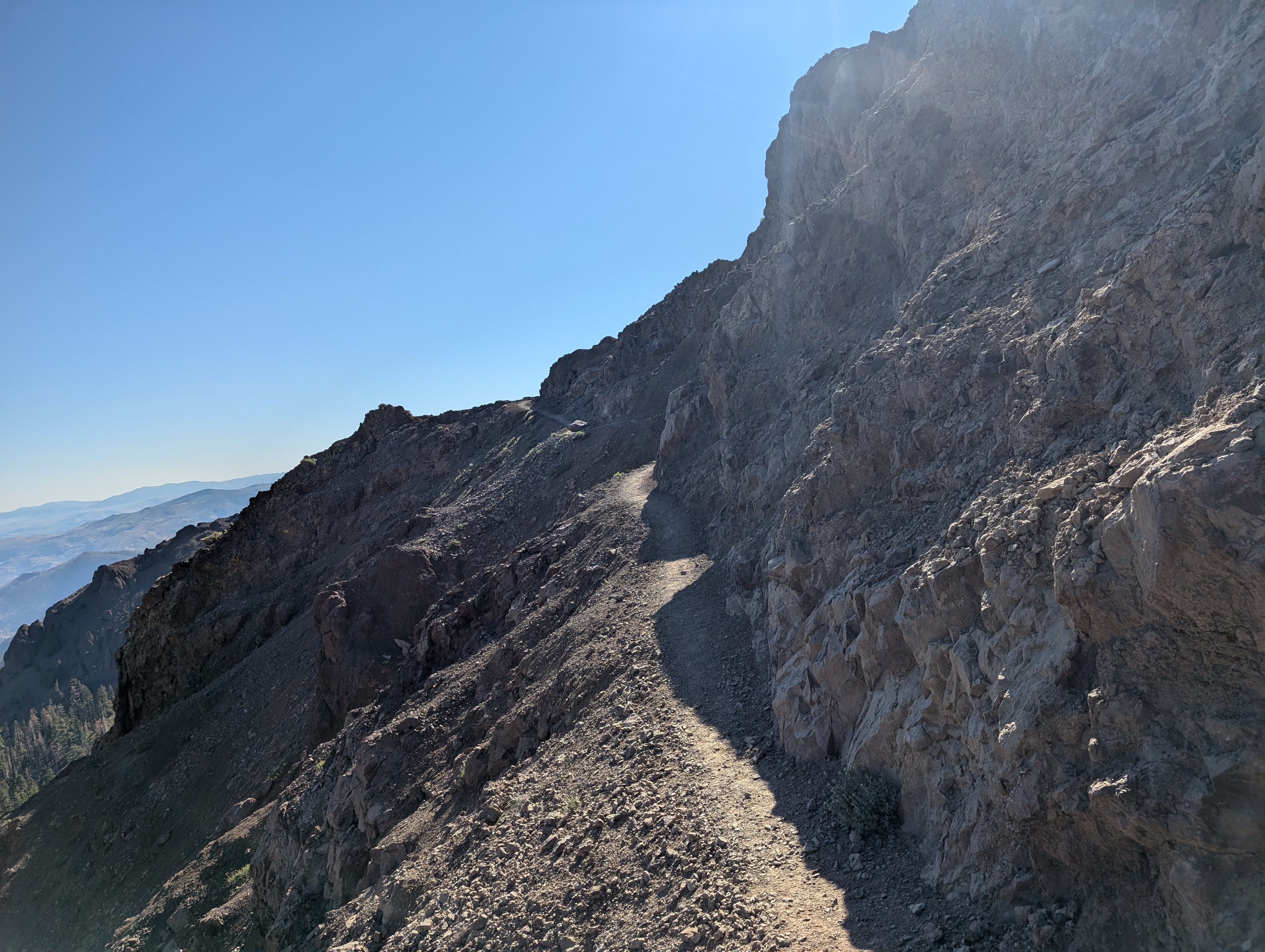
As it always goes, being off the trail slowed me down a bit and made things more difficult. I was definitely moving a lot slower, but wasn’t moving slow by any means. I stuck mostly to the top of the ridge where I could find nice solid rocks to walk on, occasionally going left or right to avoid trees. Near the top, I crossed a few smallish snow fields, eventually making a left turn to try and head up the peak from the northeast.
 A bit of lingering snow
This plan worked out, and deposited me right in the middle of a few possible summits. I glanced at my watch 10:57AM. A mini objective formed in my mind, finish by 11AM. I scurried over to what I thought was the summit, and made it right as my watch hit 11AM. Unfortunately I didn’t see a register or benchmark, and quickly realized I was not at the correct spot. I looked around me, and saw that the true summit was about a hundred feet to the west. I walked over there, and was relieved to find a register. After nearly 10 years, I was finally done with the Ogul list.
 Panorama from the spot I originally thought to be the summit
I signed the register and took some pictures, but decided to get off of the proper summit pretty quickly as it was covered in annoying flies. I found a nice spot to sit down nearby, and spent a good 30-40 minutes eating lunch and basking in my accomplishment. Finishing with Raymond Peak was a good choice, as I could easily see a large amount of other Ogul peaks, ranging pretty far in each direction.
 My signature in the register
I went down, starting off going the same direction I had come up. Soon after though, I decided to hop over one drainage to the west, so that I could make a stop at Raymond Lake. This drainage was quite easy to get down, and I was at Raymond lake in what felt like a few minutes. There I stopped on the south shore, and took a brief dip in the lake. It was still pretty hot, so the lake was a welcome change. The lake has the typical feel of a natural alpine lake, although the volcanic soils make the bottom feel a bit muddy. Still, I’d rate the lake pretty high on the swimability scale.
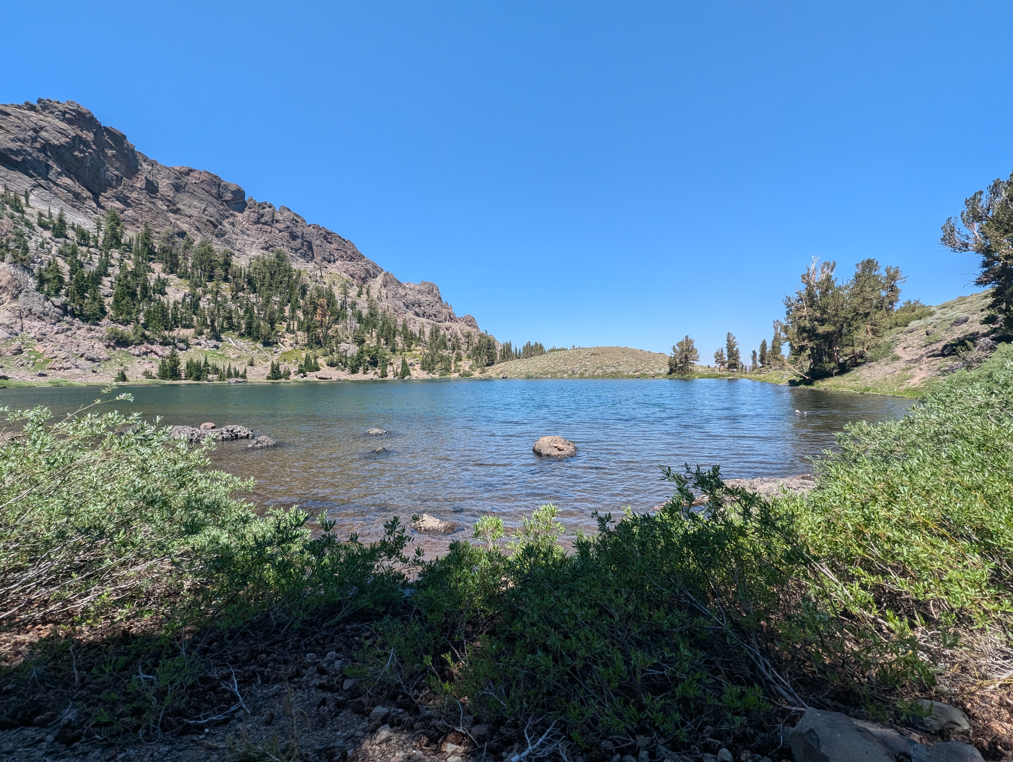 My private beach at Raymond Lake
After getting out and drying off for a few minutes, I put my stuff back on, and walked out back towards the Raymond Lake trail using a well defined use trail on the east side of the lake. I got back onto the trail, and after a few minutes of walking was back on the PCT. The walk back had about 700’ of gain to deal with. That said, the grading was very generous, and it didn’t really feel like uphill or downhill in an extreme sense. More like just walking an easy trail, and a nice one at that. I passed one more thru hiker on the way out, but other than that, had the whole trail to myself.
 Along the PCT on the return trip
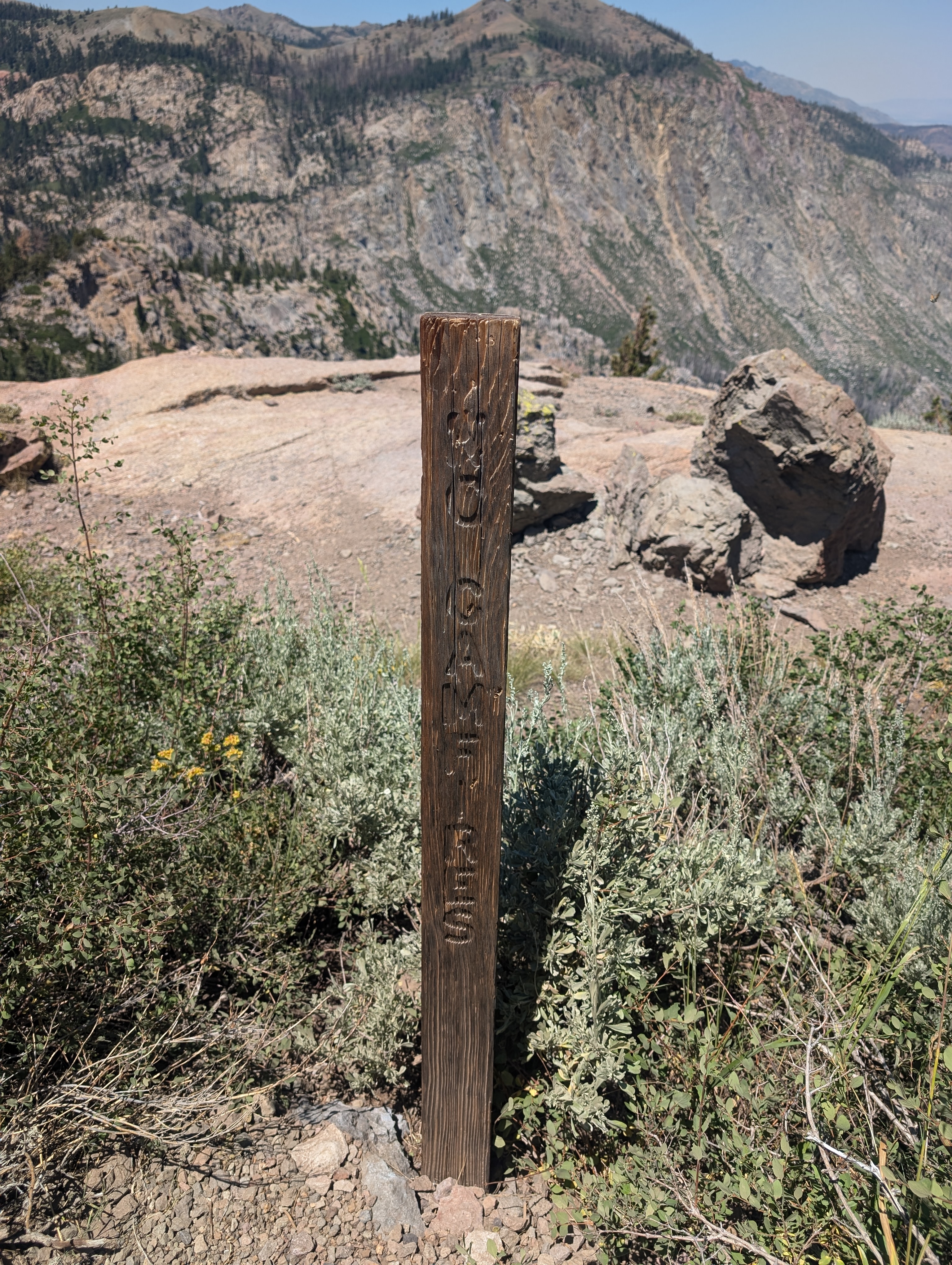 “No Camfires” sign. I remember noticing this misspelling a few years before while hiking this section of the PCT
By 2:30 or so, I was back at the truck and officially done with the Ogul List (a summit doesn’t truly count until you’re back at the car). I went down to Woodfords to grab a celebratory 6 pack (Deschute’s Hazy IPAs), and doubled back to my campsite along Blue Lakes Road for the night.