July 6th, 2024
I took some time off of work, with the plan of knocking out the rest of the Ogul Peaks. Thankfully, I had gotten more done before the trip than I had expected when I requested the time a few months prior, so my week wasn’t looking too difficult. To get things kicked off, I talked Chris into joining me for a double peak day, in addition to a section of the PCT we hadn’t done before. We met at the Palisades Tahoe Parking lot at 6:30AM. We left my truck there, and hopped into Chris’ car to head up to Donner Summit. By about 7:15, we were on the PCT headed south. The first mile or so went up some switchbacks and gained a good bit of elevation, passing by Mt Judah and Mt Lincoln, which I recognized from snowboarding at Sugar Bowl when I was a kid.
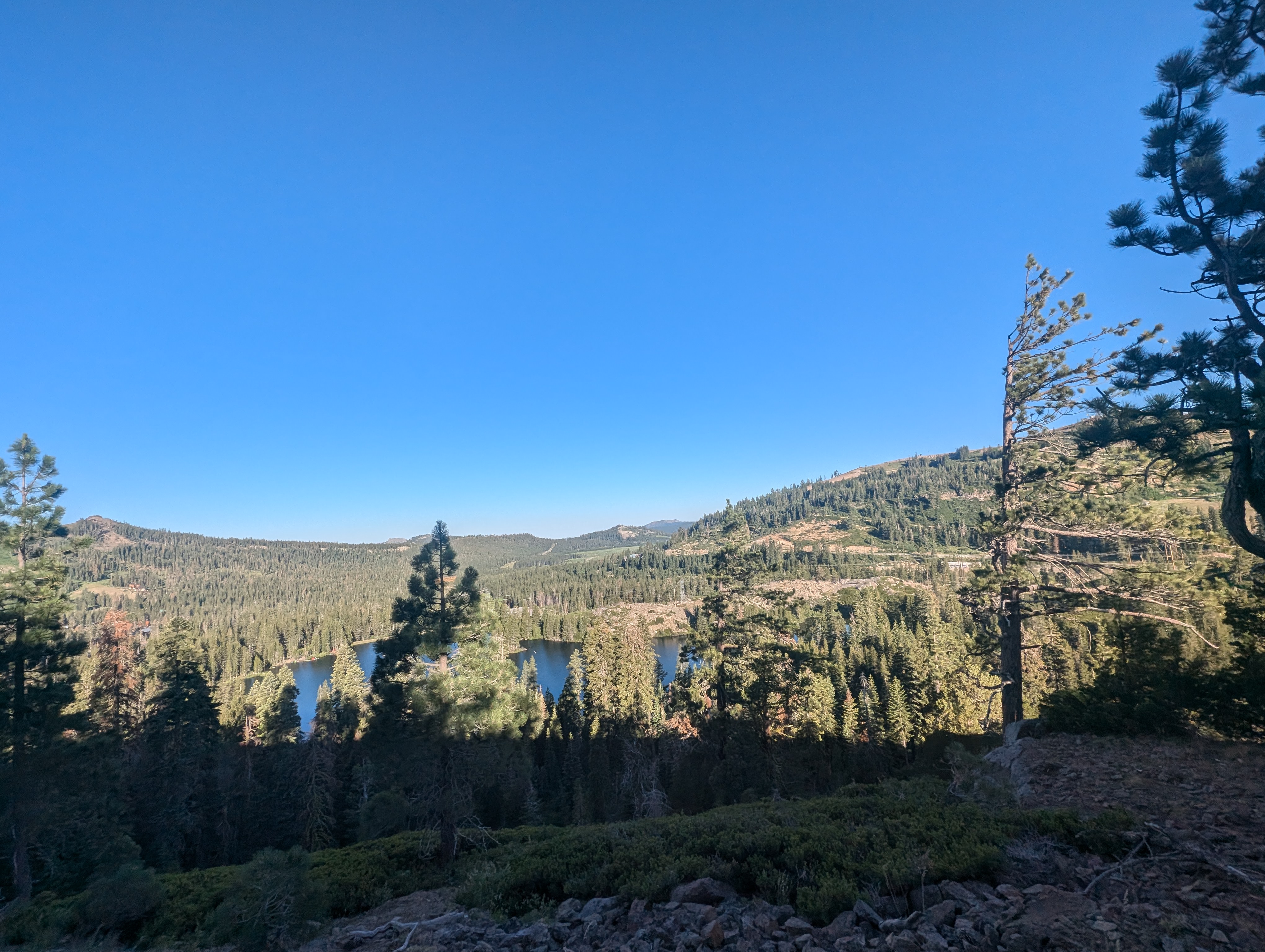 Lake Mary, near the Donner Summit Trailhead
 Sugar Bowl Ski Area
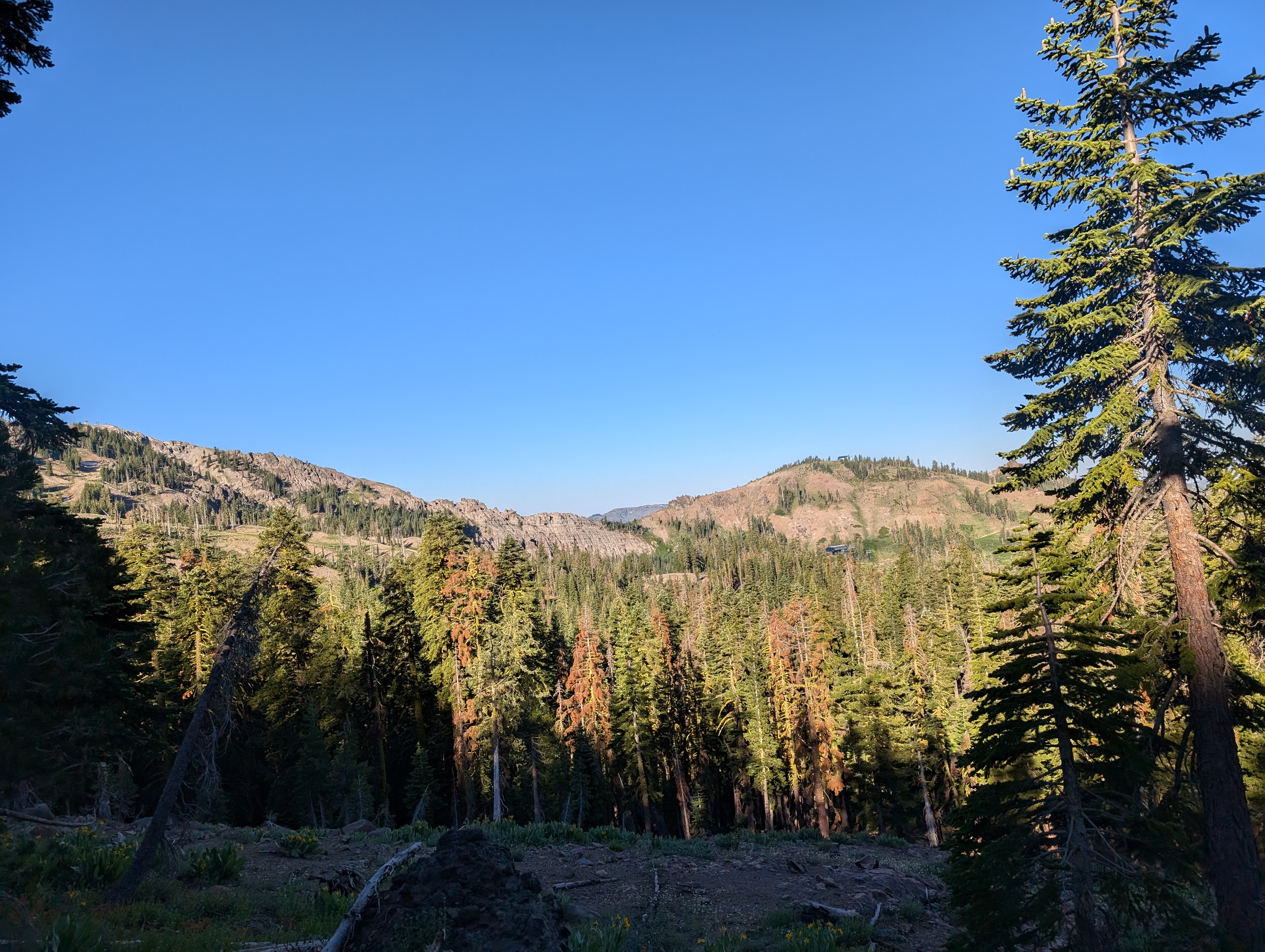
 The only snow we encountered on the trail
After Mt Lincoln, the PCT stays on the ridge for quite a while, making for a really nice, picturesque trail experience. This is what I always imagine when I hear the words “Pacific Crest Trail”. We soon came across the only snow on the trail we’d have to deal with all day. This particular patch was just steep and exposed enough to warrant going up and around, which we did, and found a light use trail that others had used for the same purpose. After a bit more up and down, our first peak of the day, Anderson Peak, became obvious on the ridgeline ahead of us.
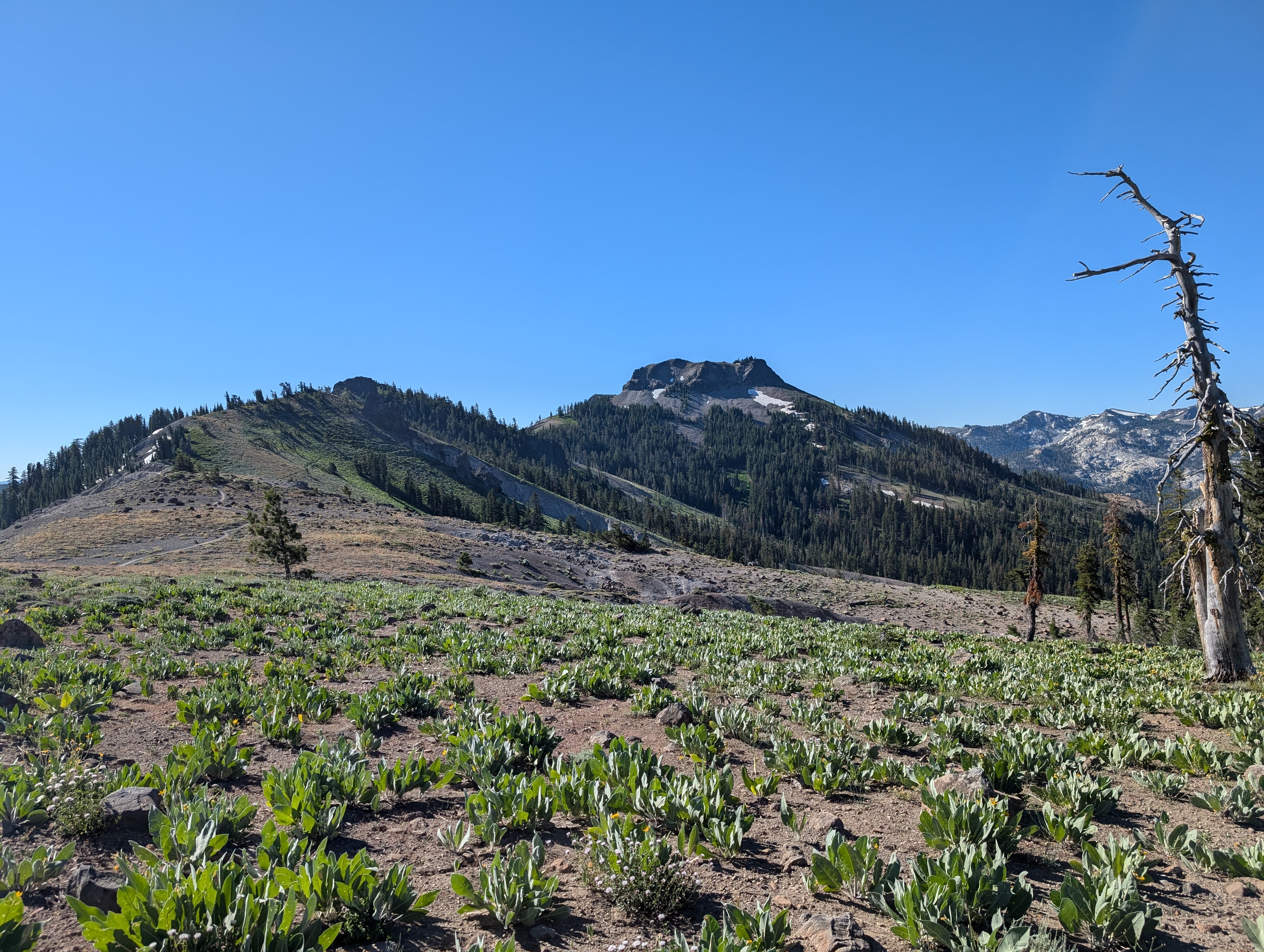 Anderson Peak comes into view
When we got near the peak, we found a spur trail that we figured must lead to the summit, or at least get us close. We followed it, and soon found out that the spur trail led to the Benson Hut, where we stopped for a few minutes to check out. The hut is in a pretty cool location, although I can imagine the journey to it being a bit treacherous in the winter.
After checking out the hut, we found that the trail continued behind the hut, and up towards the summit. The trail was nicely established in the talus below the peak, although we did eventually abandon it to get around yet another large snow drift. We went above the top of the drift, which was still a good 10’ tall, and then cut straight up to the summit from there.
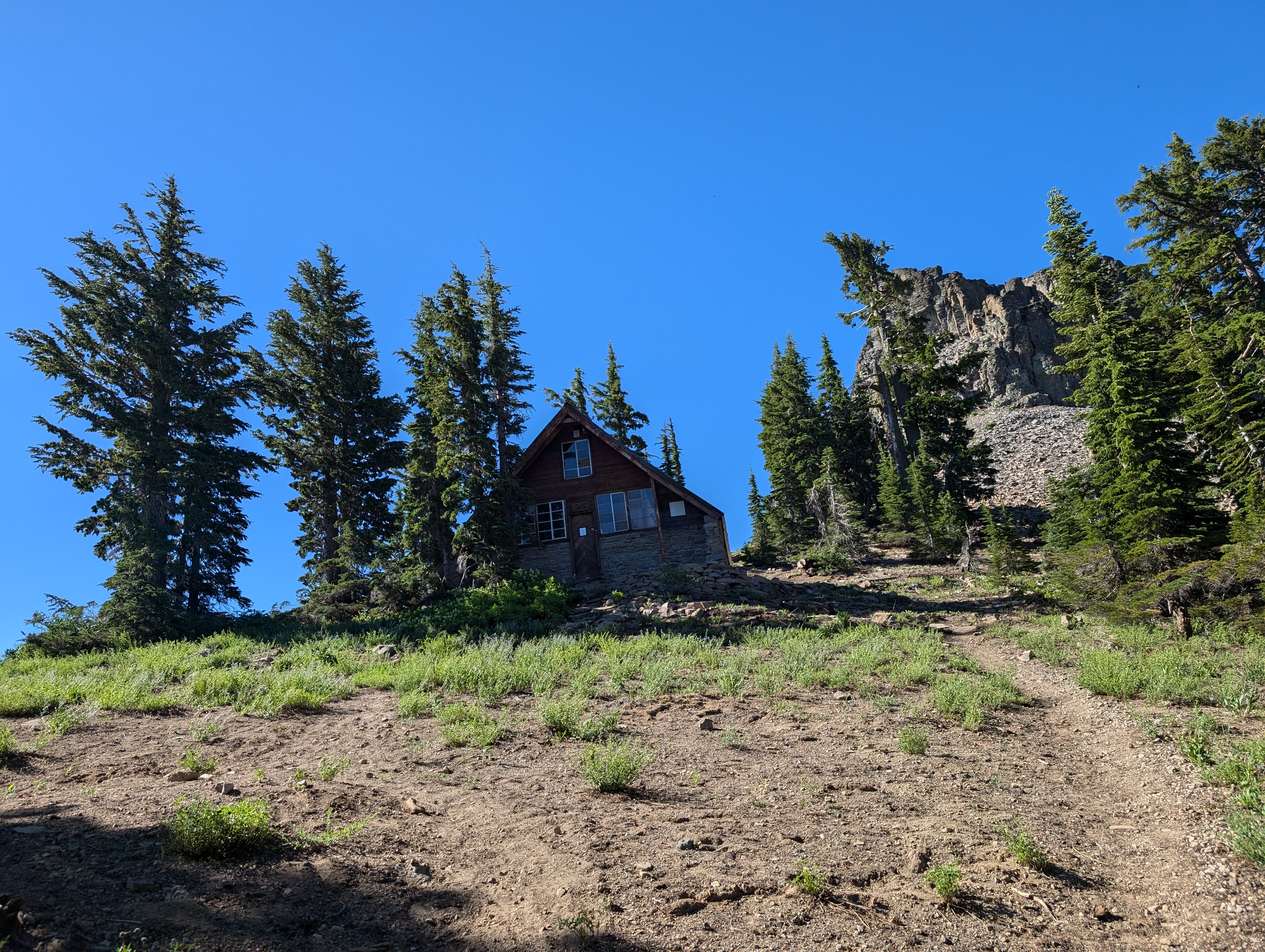 The Benson Hut
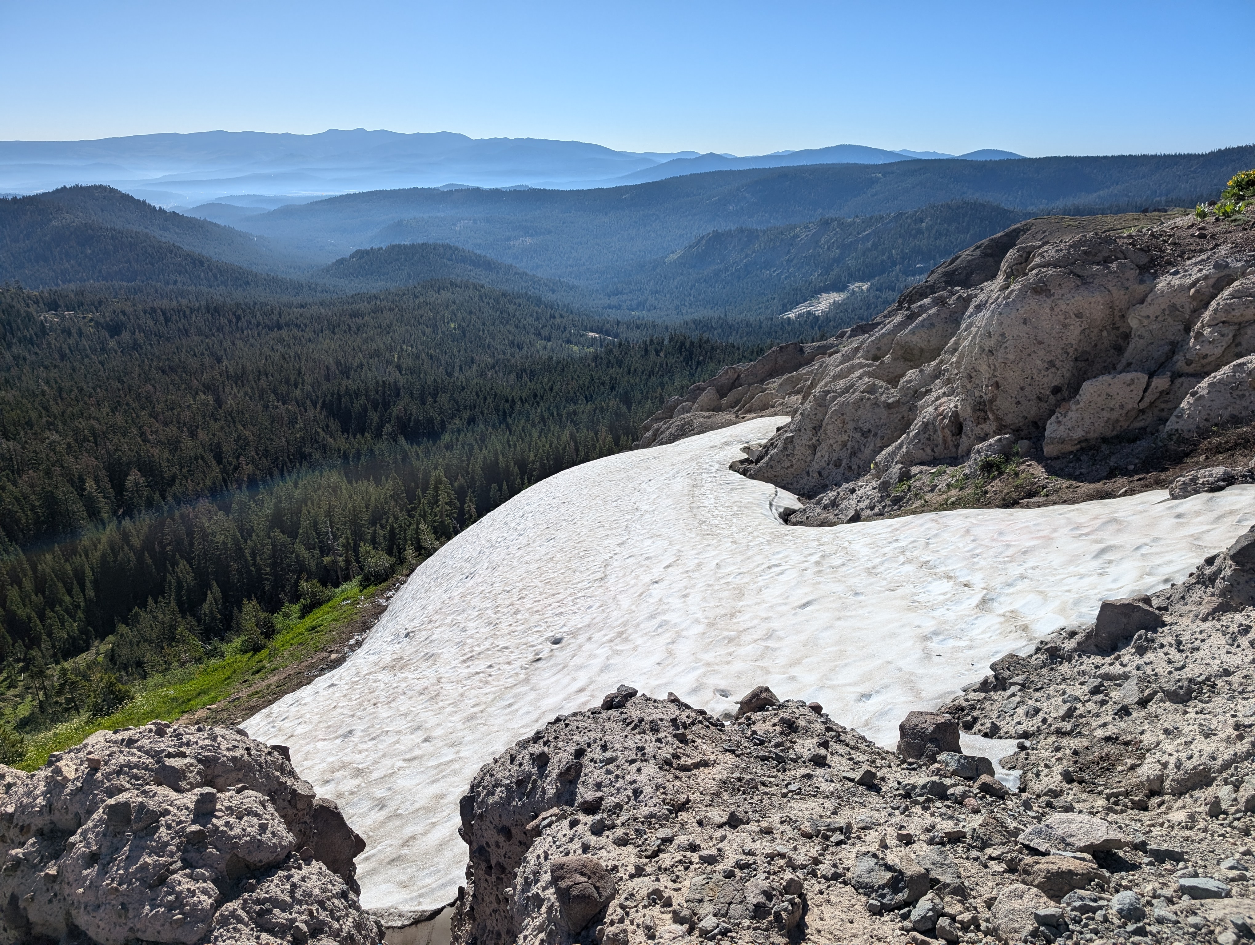
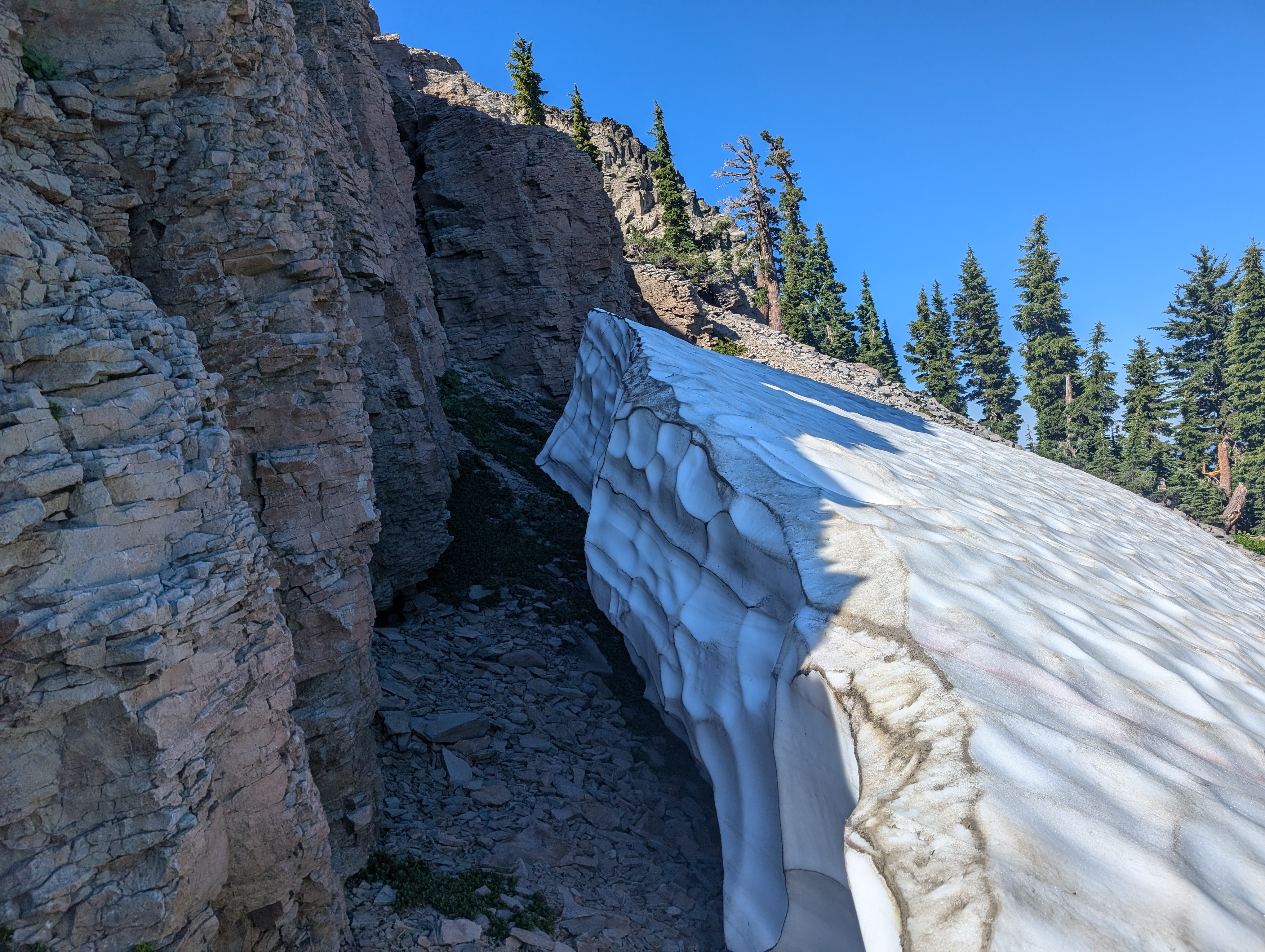 Large snow drift below the summit of Anderson Peak
At the summit, I was pleasantly surprised to find an old aluminum Sierra Club register, the second one of this type I’ve ever seen (the first was on Split Mountain). These were some finely crafted registers, and I was glad to see this one had stood the test of time. We signed the register, and hung out for a bit to eat the first half of our sandwiches and enjoy the view.
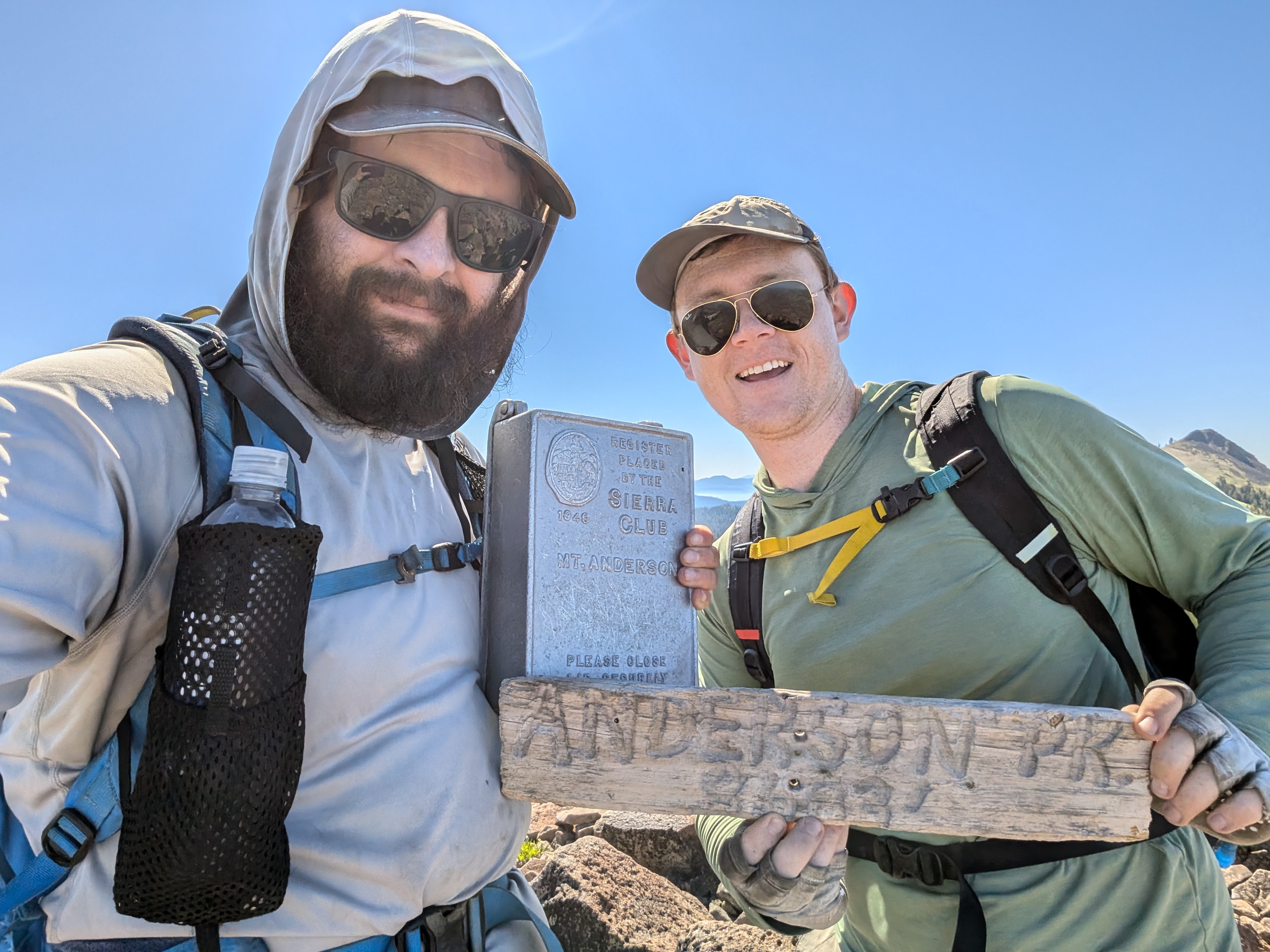 Me and Chris with the register and summit sign
 Summit Panorama
We dropped off the south side of the peak, and made our way through some talus a short distance back to the PCT. The route to Anderson was pretty easy going, gaining about 200’ over a mile, all sticking near the top of the ridge. We passed a handful of through hikers and trail runners, this seems to be a popular route for the Soda Springs locals. Soon we were at the base of TInker Knob, which had a nice offshoot trail from the PCT leading straight up to the summit. We quickly made it up, and found a nice rock chair at the top, constructed out of the flat rocks that are all over the summit.
 Tinker Knob from the PCT
 Chris lounging on the summit of Tinker Knob
 Tinker Knob Summit Panorama
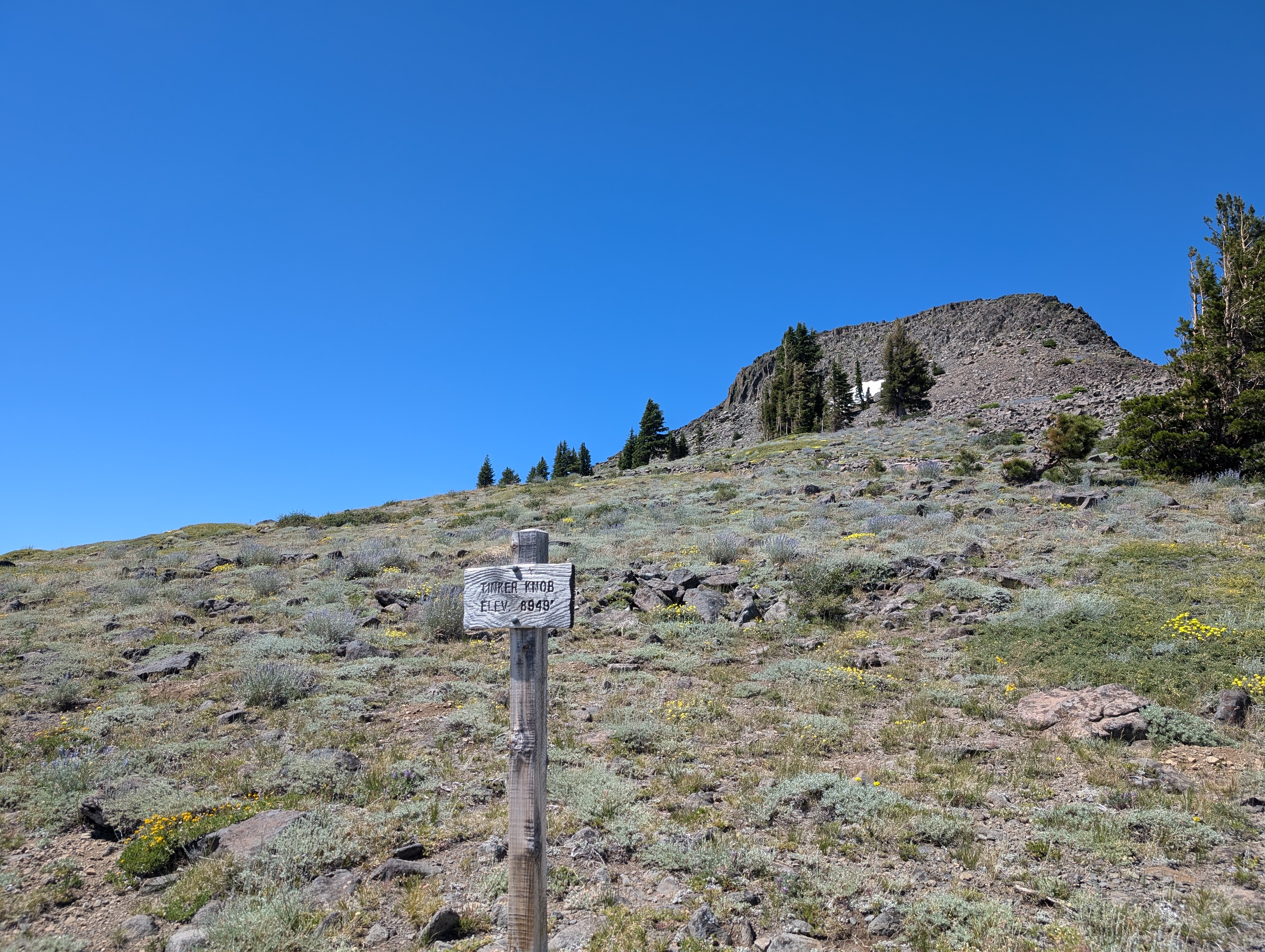 A nice sign below the summit
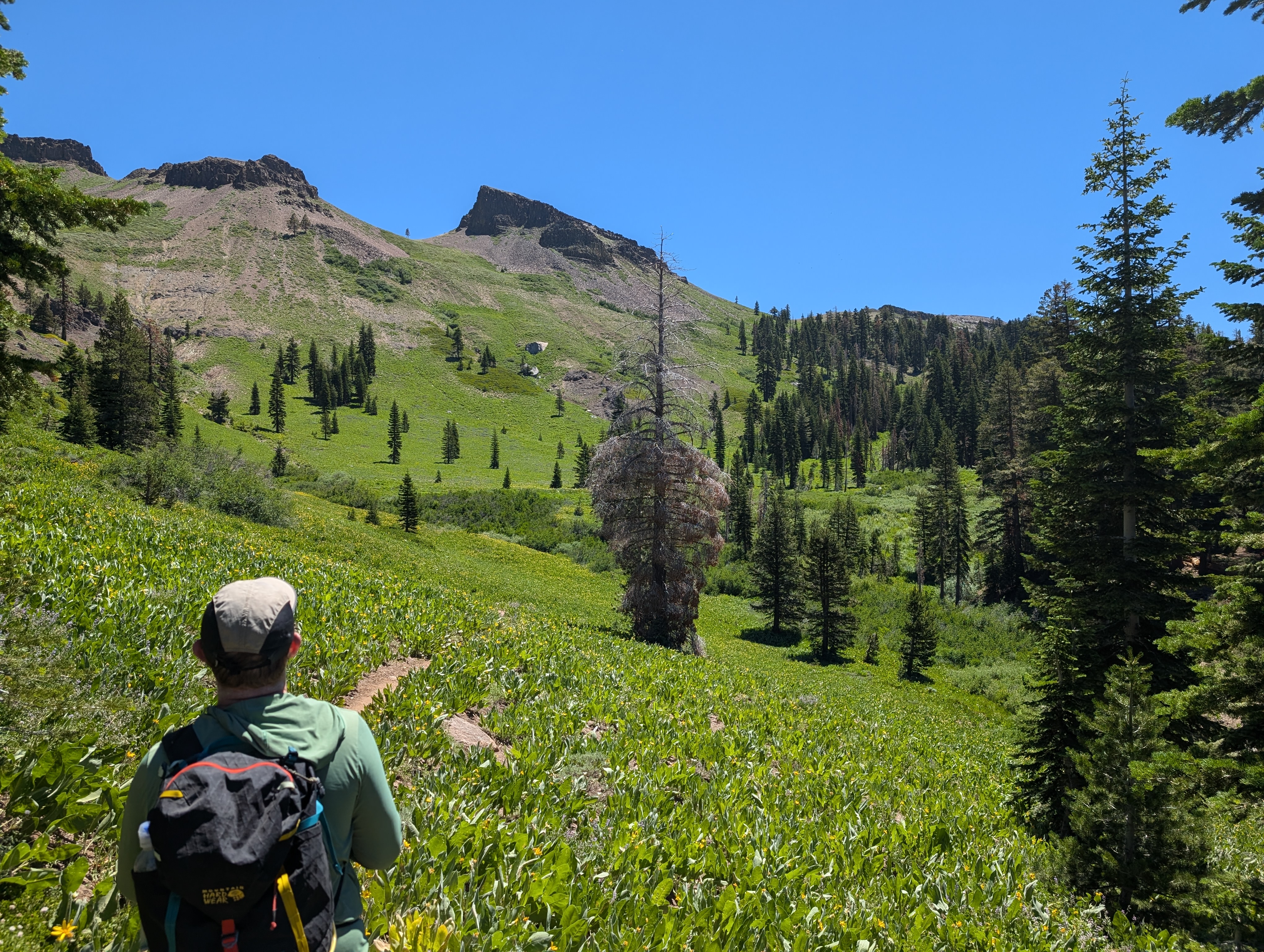
I didn’t find a register here, and we spent a shorter time here than we did on top of Anderson Peak before heading back down to the PCT. From there, the PCT wraps around the south side of the peak, and then down to the west side of the ridge, and starts to head down about 1000’ over the next few miles. While I was a bit bummed to be off of the ridge, the beautiful vertical meadow of Mule’s Ears more than made up for the lower elevation. We continued along for a few miles before crossing a creek that feeds the headwaters of the North Fork of the American River. We stopped here to fill up some water, and eat the rest of our lunch. I had been hiking in my Hokas, which I only had ever used for road runs before. I noticed that the shape of the toe box of the shoes was compressing my toes into each other. When I took my shoes off, it appeared that this had already started to form some blisters. It was too late to do anything at this point, but I had a feeling I’d be paying for this mistake in a few days.
 The lush west side of the Sierra Crest
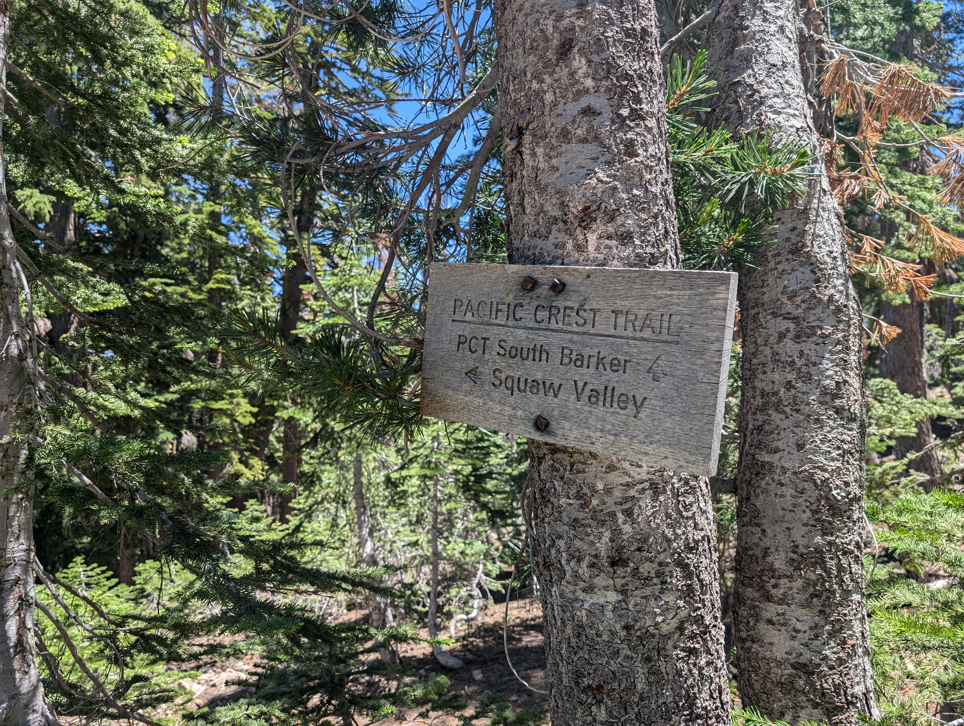
After getting started again, the sun had warmed up a good bit (did I mention this was one of the hottest days of the year?), and we felt it as we started to regain the elevation to the ridge. Soon enough though, we had crested the ridge once again, and departed the PCT to join the Granite Chief Trail, which leads back to Olympic Valley. The grade here felt a bit steeper, which wasn’t an issue as we were going downhill. At one point we passed an older lady (probably in her 70s) trail running up the trail. Chris and I both agreed that we hope to have that kind of fitness at her age.
 Where we departed the PCT for the day
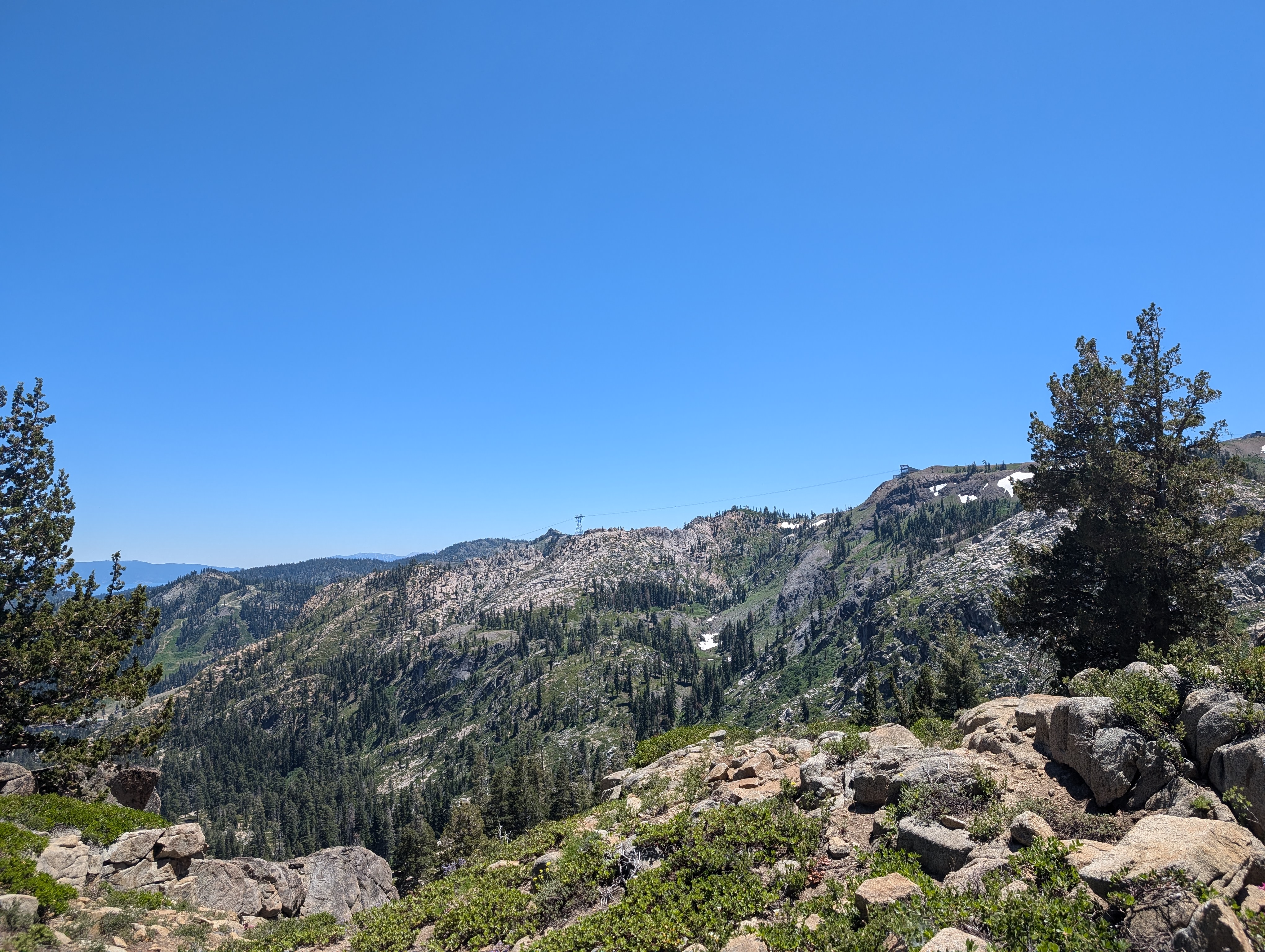 Palisades Tahoe’s Tram
We continued down along the trail, which became a bit tough to follow in a few places where the forest gave way to granite slabs, but never had much difficulty. After not too long, the trail joined the Shirley Canyon Trail, which I had been on back in 2016 when I first climbed Granite Chief with my dad. The trail then parallels the creek (Shirley Creek?) for a bit, before finally spitting you out just northwest of the parking lot. We were back at the truck right at 3PM. We then went back to Chris’ car, and found a place to camp near Lake Spaulding, which would set me up for the drive to English Mountain the next morning.
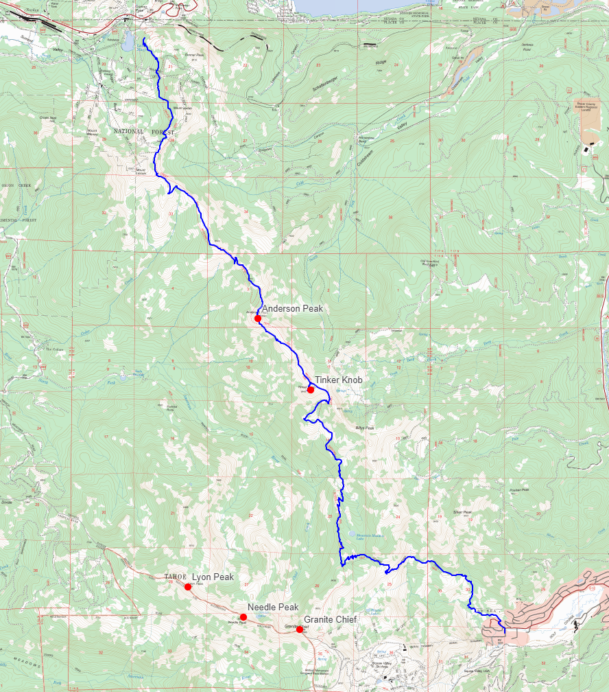
Route