April 26th, 2024
With a fairly long drive ahead of me, I woke up at 3AM, and was on the road by 3:30AM or so. I took the day off about a month in advance, and with my luck it happened to land on a day with some weather in the forecast. Due to this, I made the call to take a trip up north where the snow doesn’t fall as deep as it does closer to Tahoe. The roads weren’t too bad, and I was at the Gold Lake Staging area by 6:45AM. The snow was basically gone at that elevation, so I decided to leave the skis in my truck for the day, and just focus on going light and fast.
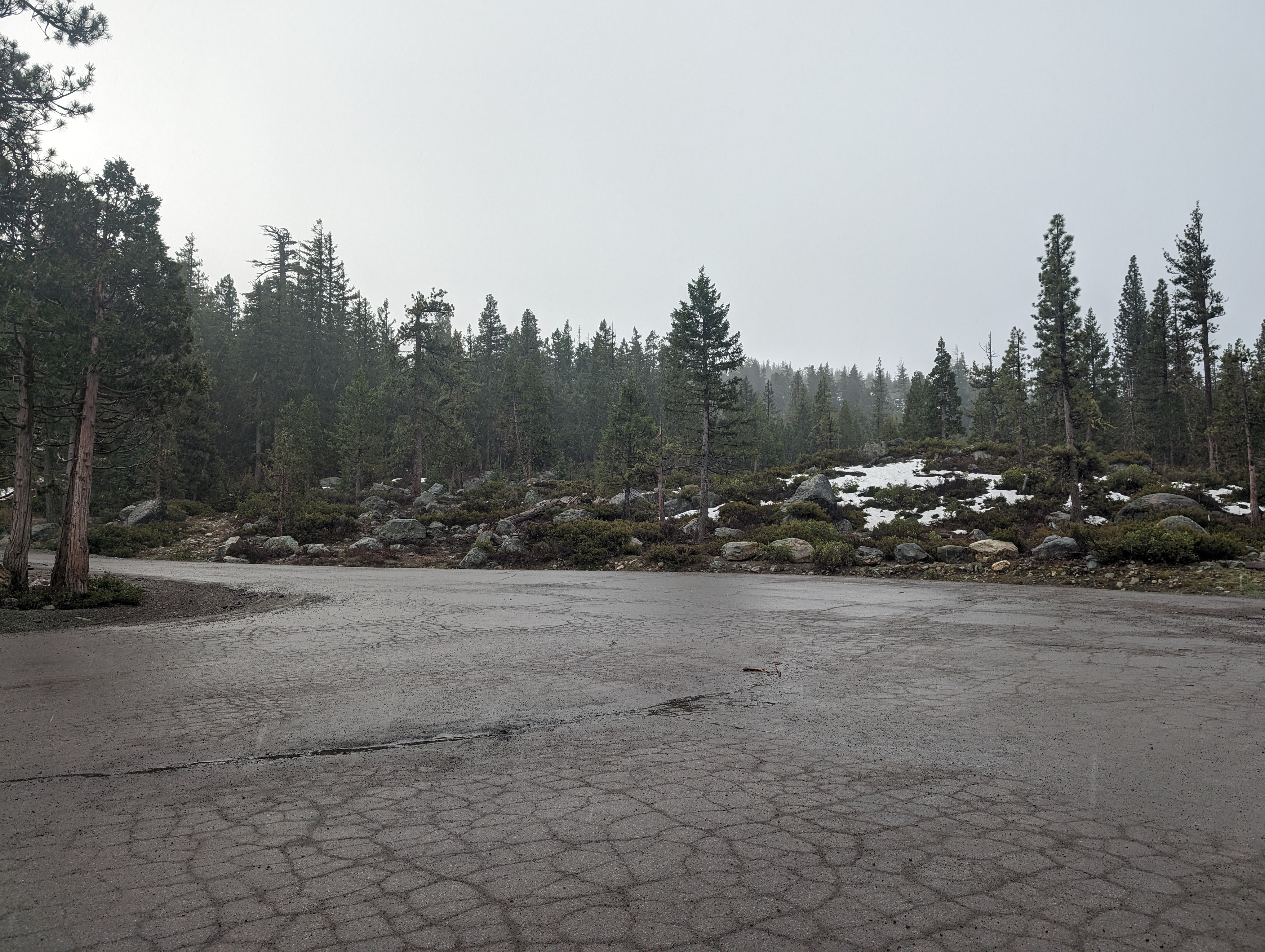 Drizzly conditions in the parking lot
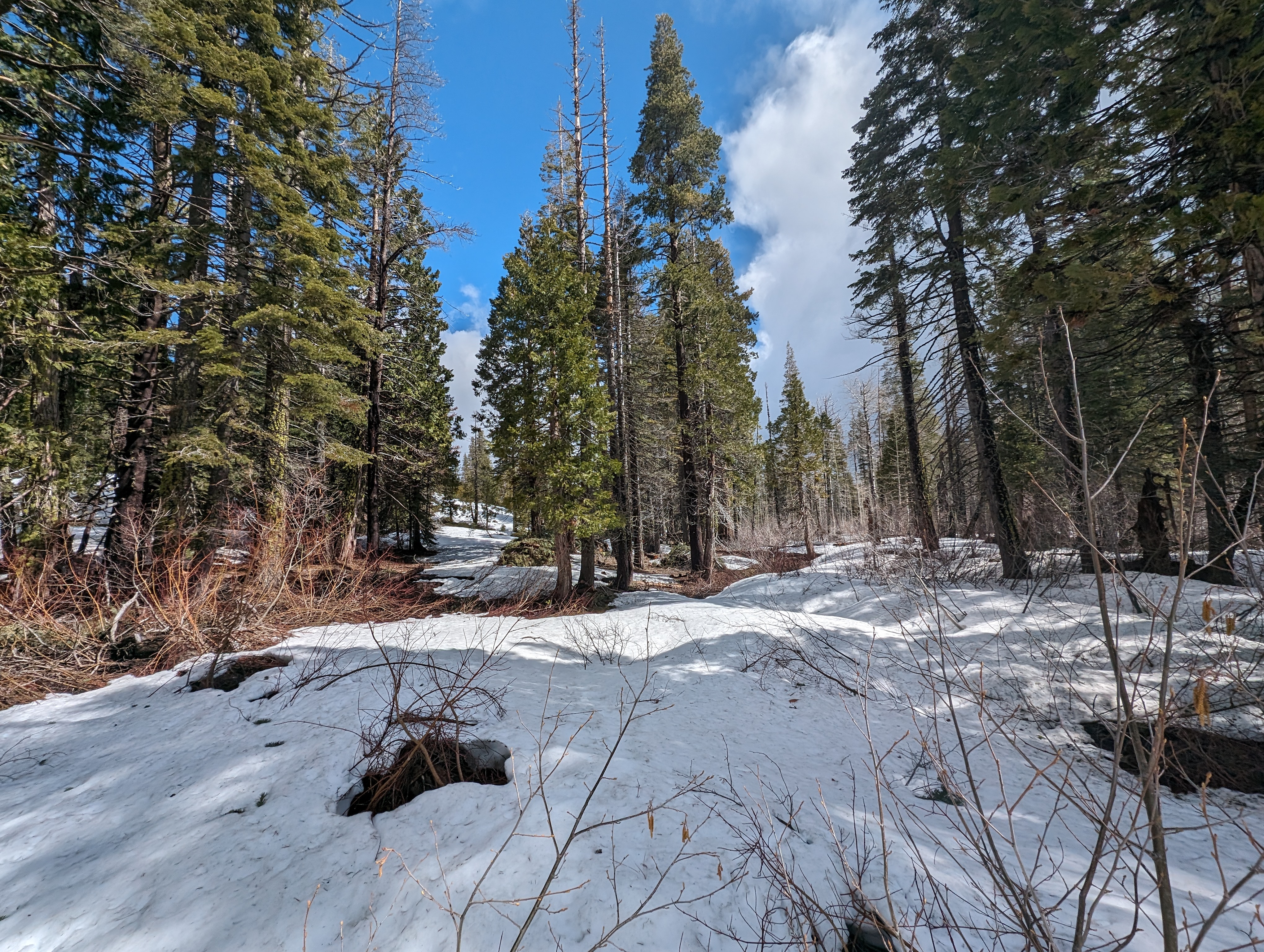
I walked up the Gold Lake Highway about a mile before making a right turn towards the lodge. The road was pretty easy going, with only a few patches of snow on it. As soon as I got off the road towards the lodge however, the snow became more of an obstacle. After a brief jaunt through the forest, I was faced with my first decision of the day. Bushwhack up a steep slope filled with wet manzanita, or detour about a mile around on the summer trail (which was mostly covered in snow). I opted for the former, which was not the most pleasant thing I’ve ever done.
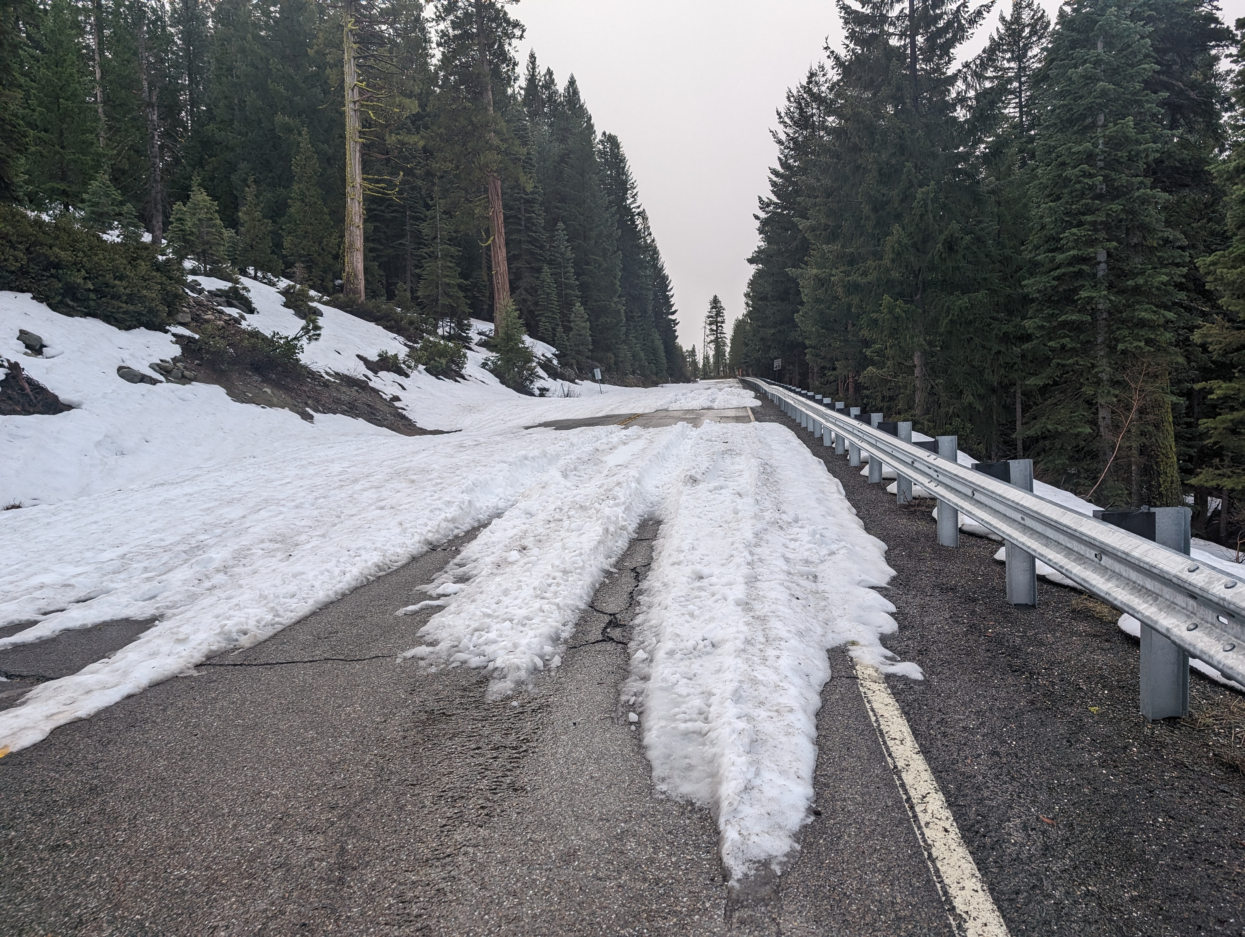 Making my way up the highway
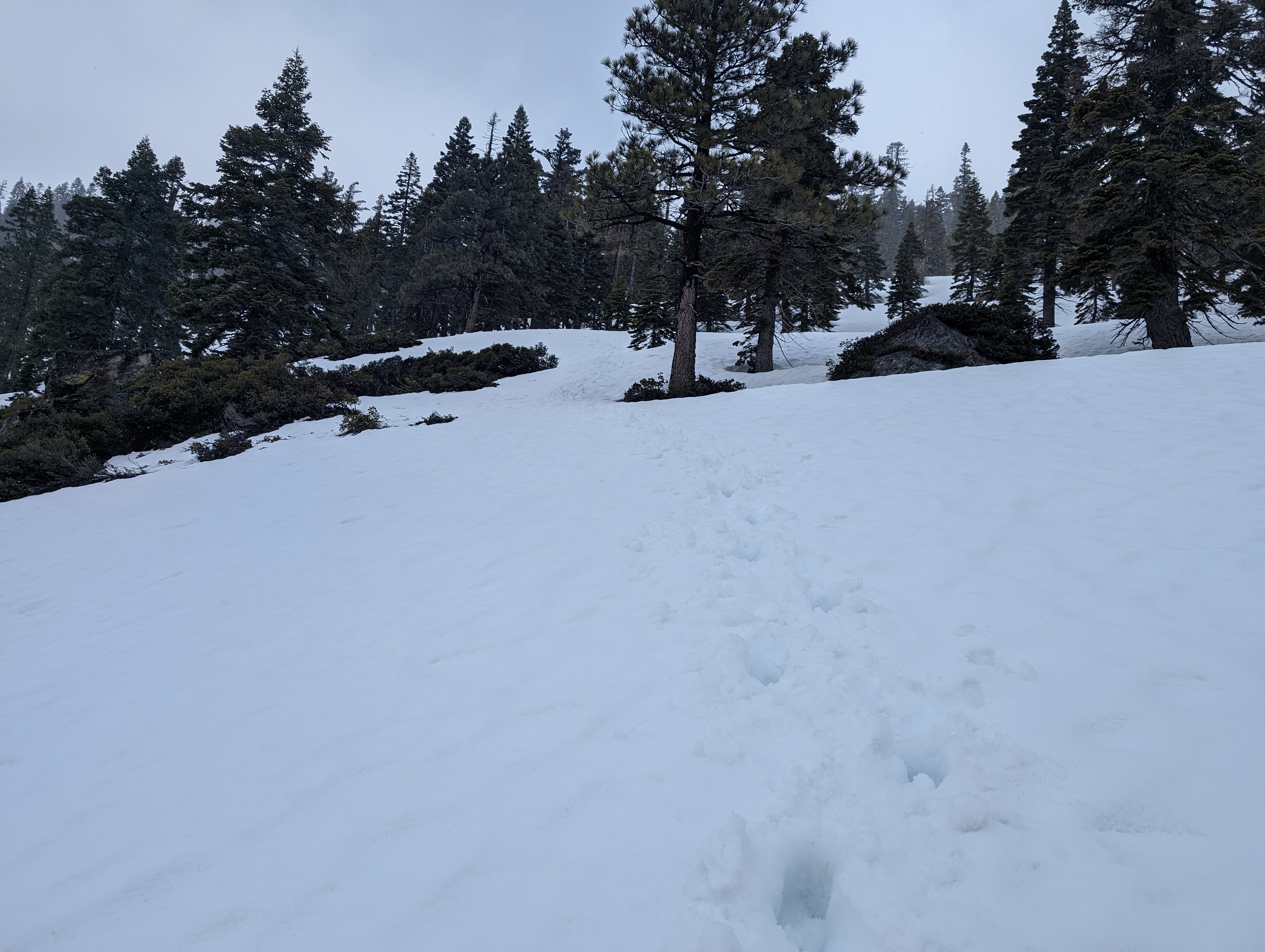
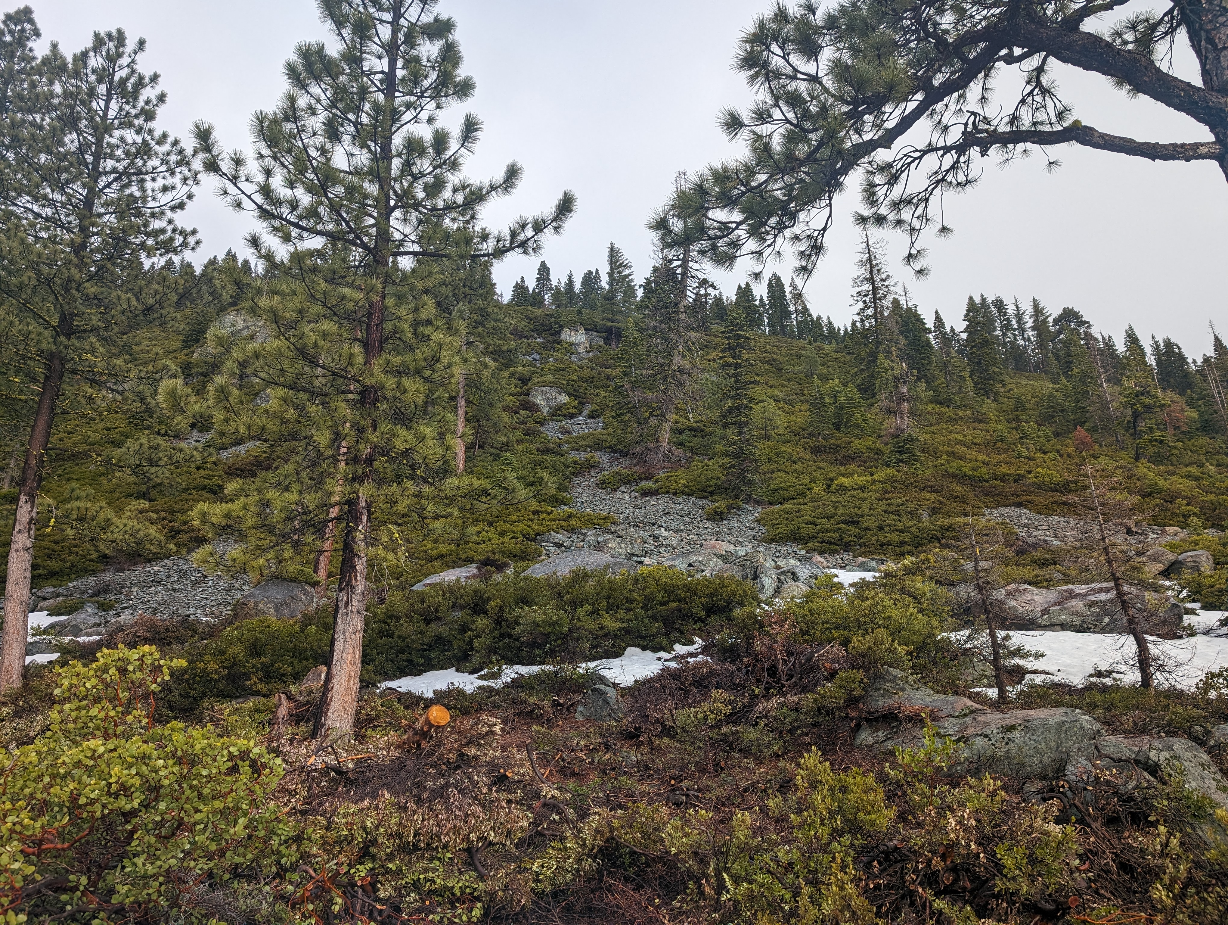 Looking up at the bushwhack ahead of me
As I had predicted, the manzanita filled slope was soaking wet from the rain it had gotten the night before. I used my poles to try and knock water off of the bushes ahead of me, but still ended up completely soaked by the time I made it up the few hundred vertical feet. With imminent snow, this seemed slightly risky, but I trusted my gear, and had dry layers if I needed them.
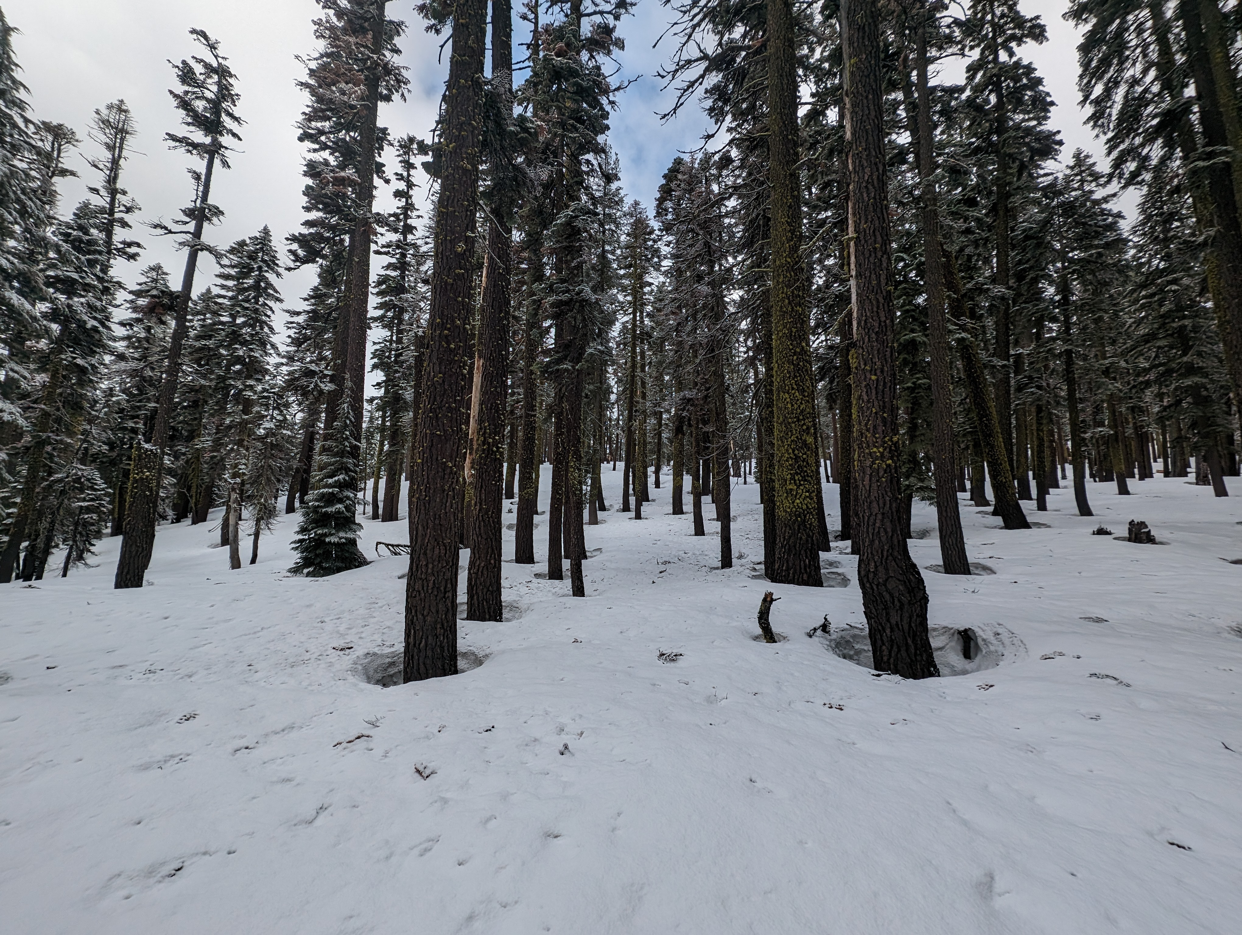 Up on the ridge
Now that I was up on the ridge, the snow got a lot deeper, but the going was much easier. The overcast made it difficult to tell exactly where the peak was, so I relied on CalTopo on my phone to point me in the right direction. After 30-40 minutes, I was above Hidden Lake, which was still mostly frozen over, but probably not enough to walk on. I chose the best route I could up the steep slopes above the lake, opting for a more direct route than the summer trail which meanders a bit to the west.
 Looking up towards the peak from near Hidden Lake
 Hidden Lake starting to thaw out
Once on top of the steep slopes above the lake, I entered a fairly dense section of forest, and had very little idea of where the peak was based on visual cues. CalTopo guided me once again, and I managed to find a pretty efficient route up towards the top. By about 9:40, I could see what I was pretty sure was the summit.
 The false summit
Upon reaching it, I realized that it was a false summit, and I had a small way to go still. The summit block had some very winter like snow and conditions, and made me slightly regret not bringing the skis. I topped out around 9:48AM, and was somewhat disappointed with the amount of overcast blocking what is probably a great view on a clear day. No luck finding a summit register either, but thats fairly common in the snow. I hung out for a few minutes, took some pictures, ate some snacks, and planned a more efficient route back down.
 Summit panorama
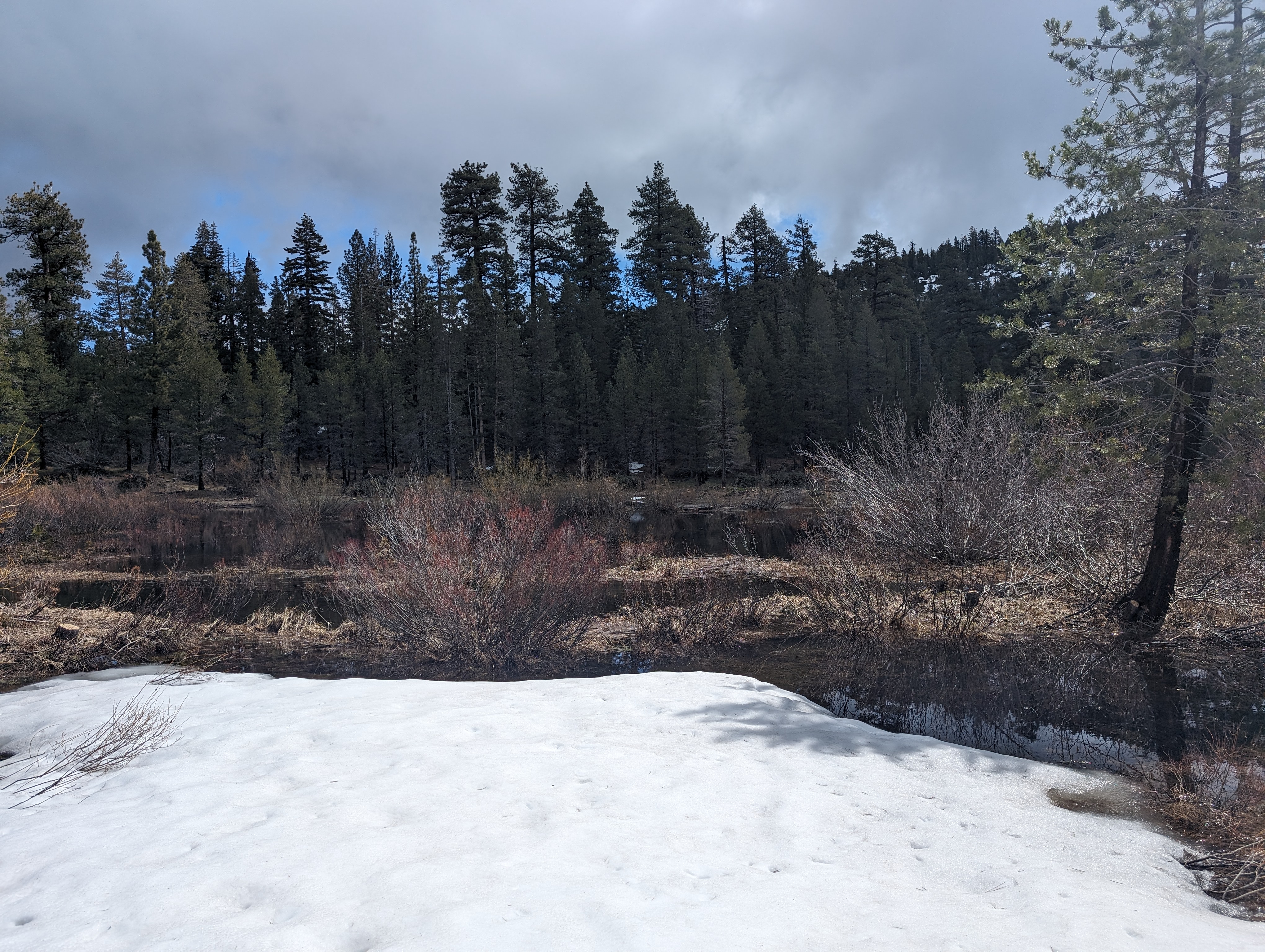
On the way down, I veered to the east of Hidden Lake. This took me down the same slope I had bushwhacked down, but on a more snowy section of it. This ended up working out very well, I was able to jog/glissade down the majority of it and make great time. Near the bottom, things got a bit more tricky as the snow coverage became thinner. The valley down there is full of aspens and small creeks, making for tricky navigation, with lots of postholing.
 Postholing my way down
 Back down by the creek
Before too long, I was back near the lodge, and somehow missed the way I took in, and ended up having to walk through knee deep water to get back to the road. The water was frigid, but it seemed easier than backtracking and postholing around through the Aspens. Once through the water, it was a short walk back to the road, and then just a simple walk from there.
 My final obstacle
Route
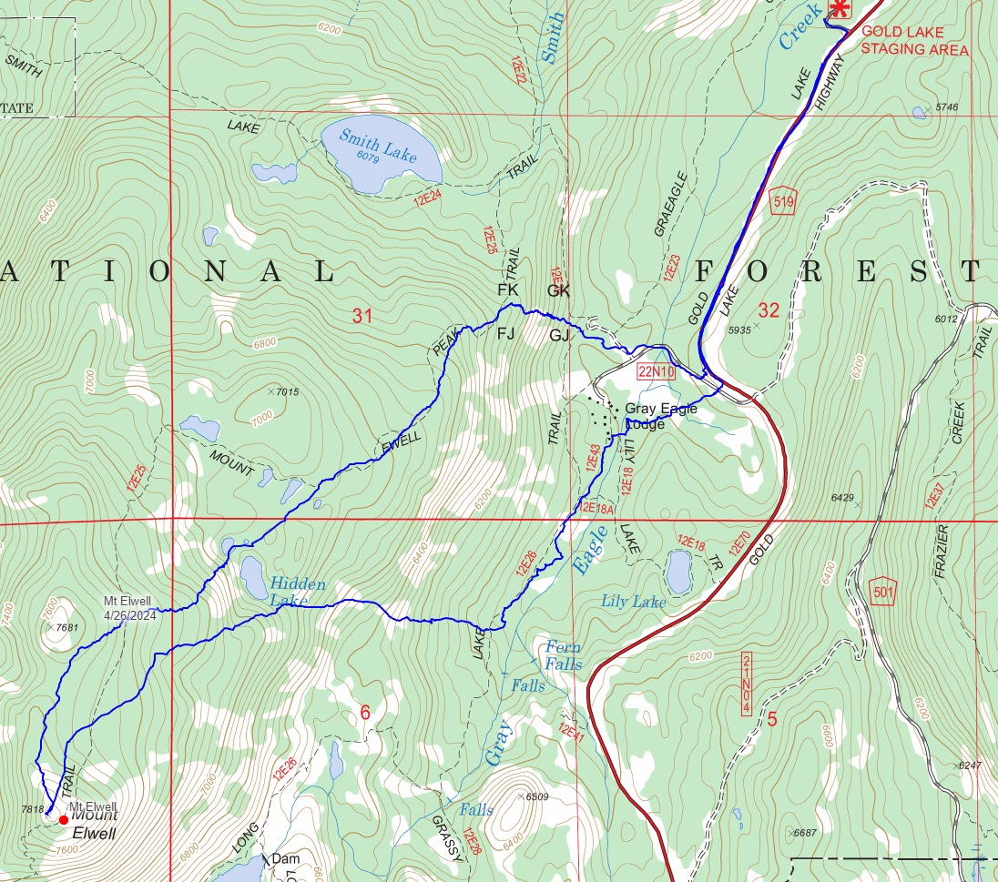 My route
GPX Track Download
My route
GPX Track Download