June 2nd, 2024
As is tradition, I woke up at the ungodly hour of 3AM for this hike. I was left a bit traumatized by the route Chris and I took the summer before up the adjoining Silver Peak, so wanted to get as much time as possible. Highland is a few hundred feet taller, and further away from the Noble Canyon Trailhead than Silver Peak. All that said, I was a bit apprehensive of this one. I arrived shortly after 6AM at the trailhead, and got moving quickly.
 This same spot was filled with snow last July
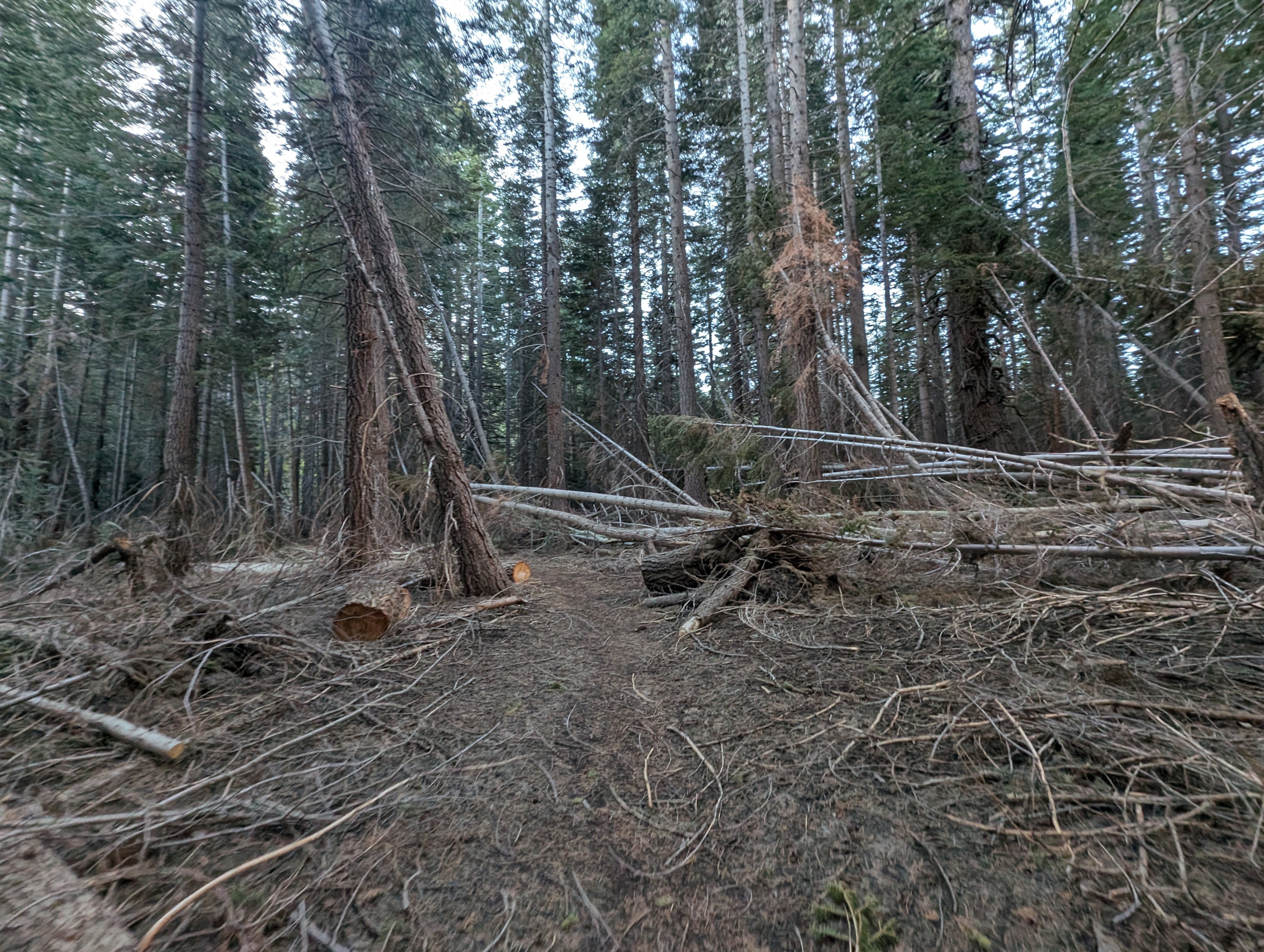
The first mile or so is quite easy and pleasant with negligible elevation change and nice forest canopy cover. There are some great views of Noble Creek below, and the massive Silver-Highland Peak massif above. About a mile in though, the trail crosses Noble Creek. Just like when Chris and I did this the previous summer, the creek was clearly going to require getting wet to get across. I was prepared this time, so quickly rolled up my pants to above my knees, and switched my trail runners for crocs. The flow was pretty strong, and I was thankful for my hiking poles; I likely would have gone in if it weren’t for them.
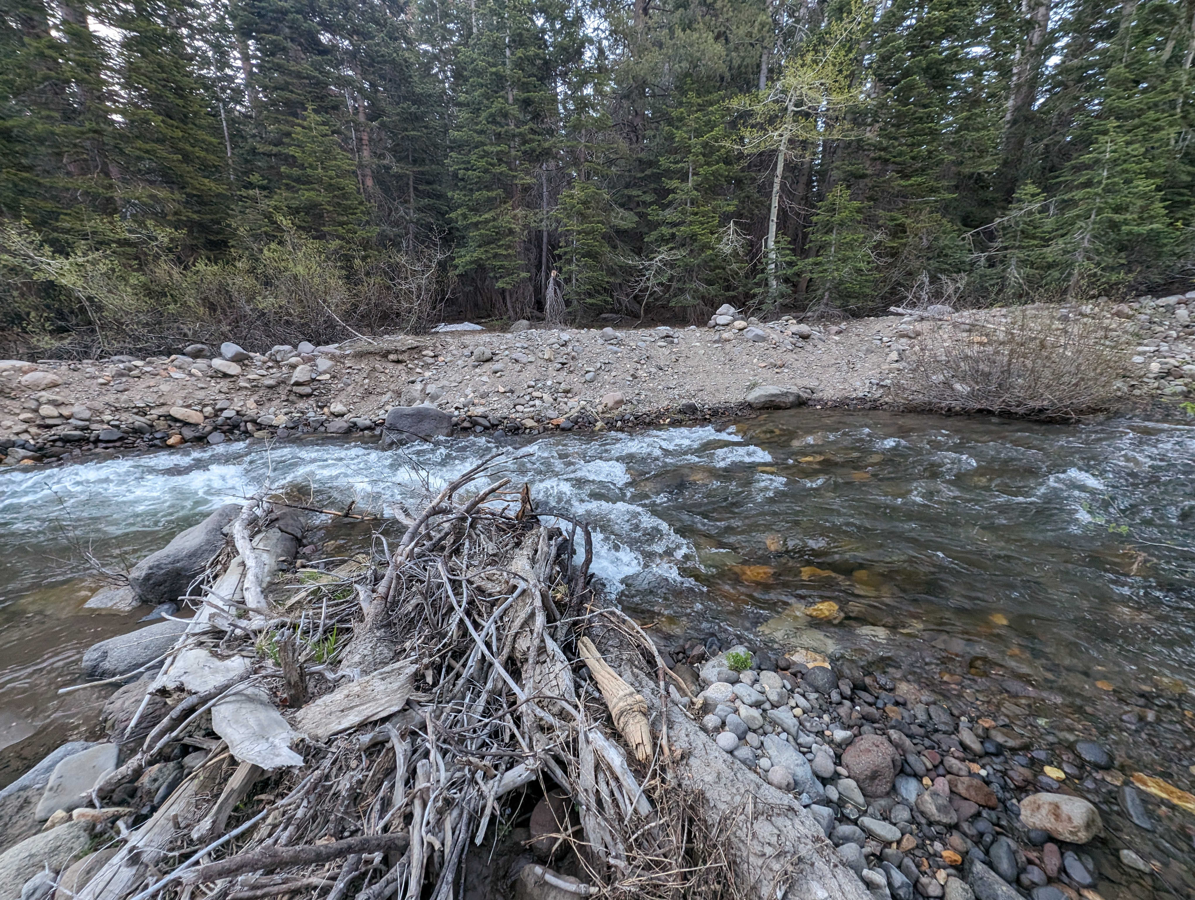 Creek crossing spot
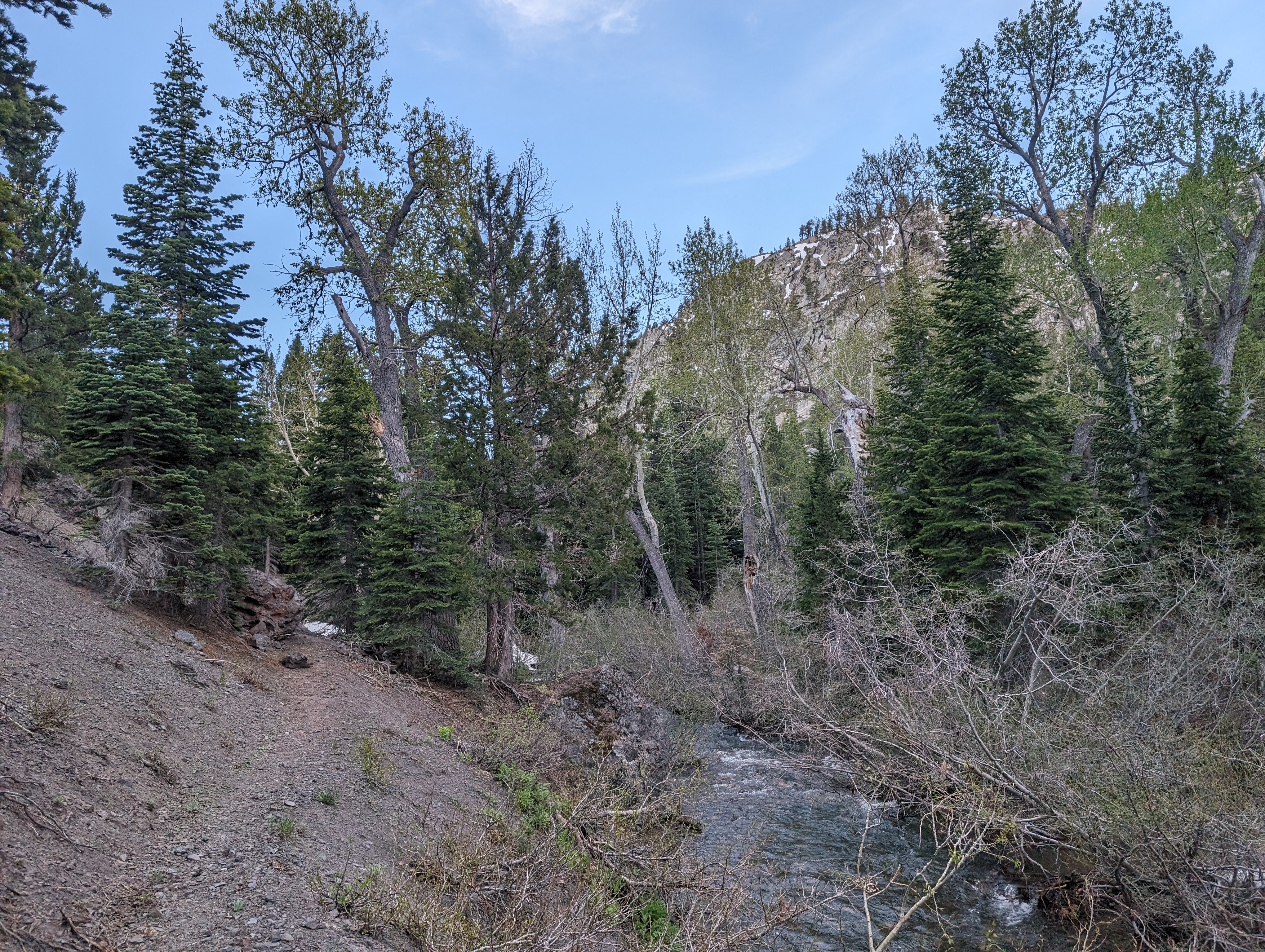
Once across the creek, I opted to just walk in my crocs for a bit in order to let my feet dry out without losing any time. This worked out well, and I found a nice log to sit on a mile or so down the trail and switched back into my trail runners. I had mapped out a rib of Highland Peak that had snow on the north side, and was dry on the top and south sides. My plan was to take the dirt up, and then utilize the snow for some glissading on the way down. I had another mile or 2 of trail before I got to that rib. The trail was pretty pleasant, an occasional snow or tributary creek to cross.
 A bit further down the trail than I made it last year before heading up
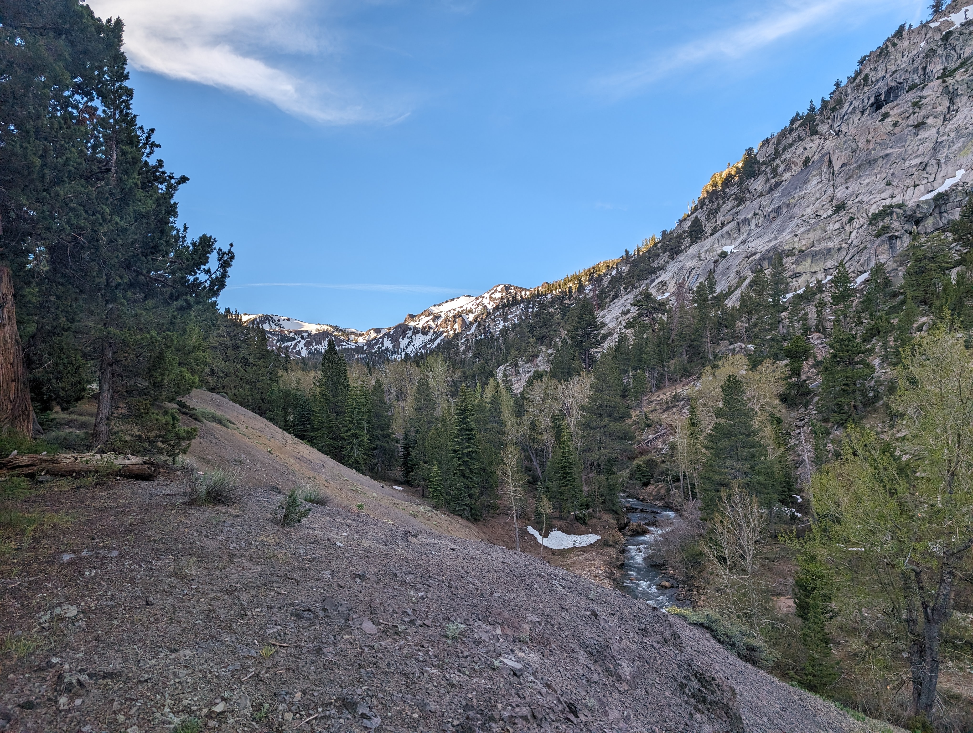 Noble Canyon really has some beautiful spots
I made it to 1 final tributary that was at the base of my rib, and filled up my dirty bottle. One of the issues that prevented us from taking the ridge from Silver to Highland the previous summer was a lack of water, I wasn’t going to make that mistake again this year. As I started up the rib, I immediately found it to be a huge improvement over the one we took up Silver Peak. Instead of barren volcanic choss, I found myself in a nicely spaced, ancient forest of junipers and Jeffrey Pines. There were some absolute monster Junipers in this grove, some easily 8 feet in diameter or larger. It made for some pretty easy travel, and felt pretty cool to be among some trees that must easily exceed a thousand years old.
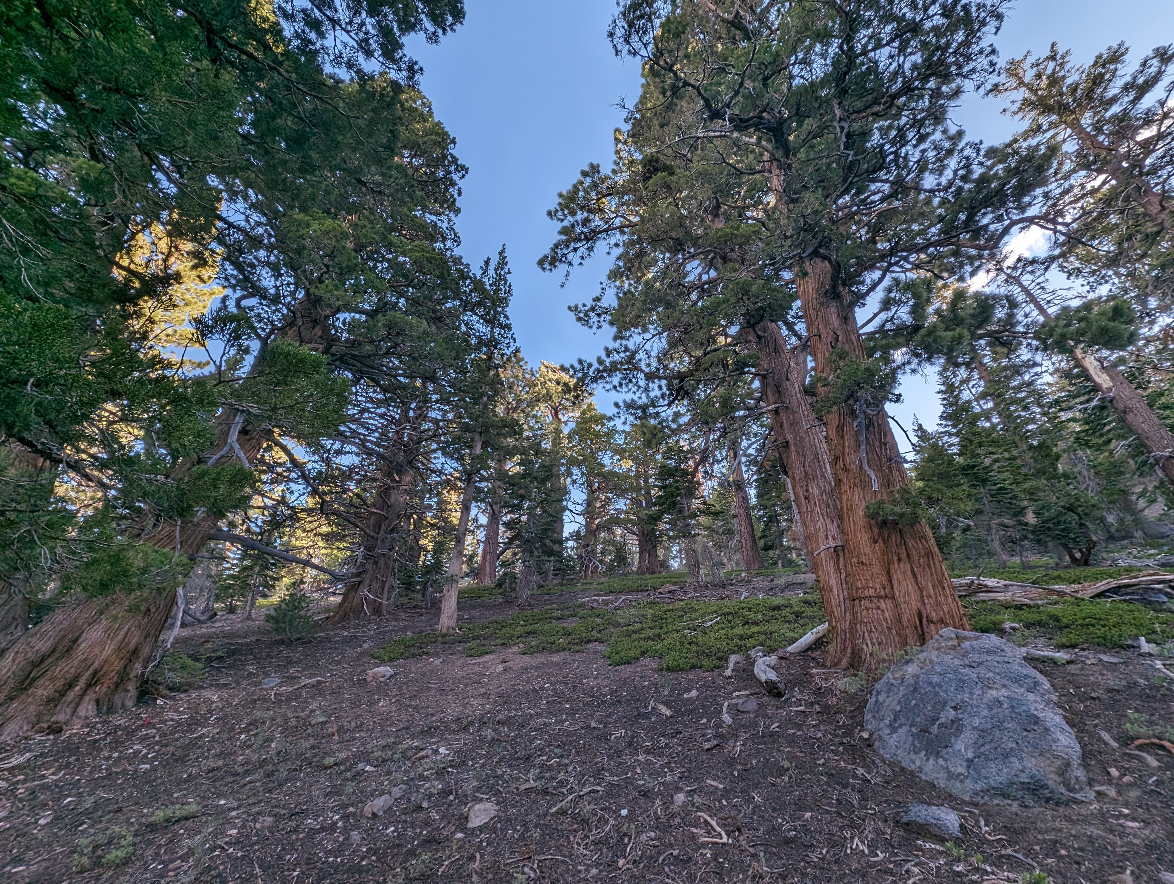 A lovely ancient forest
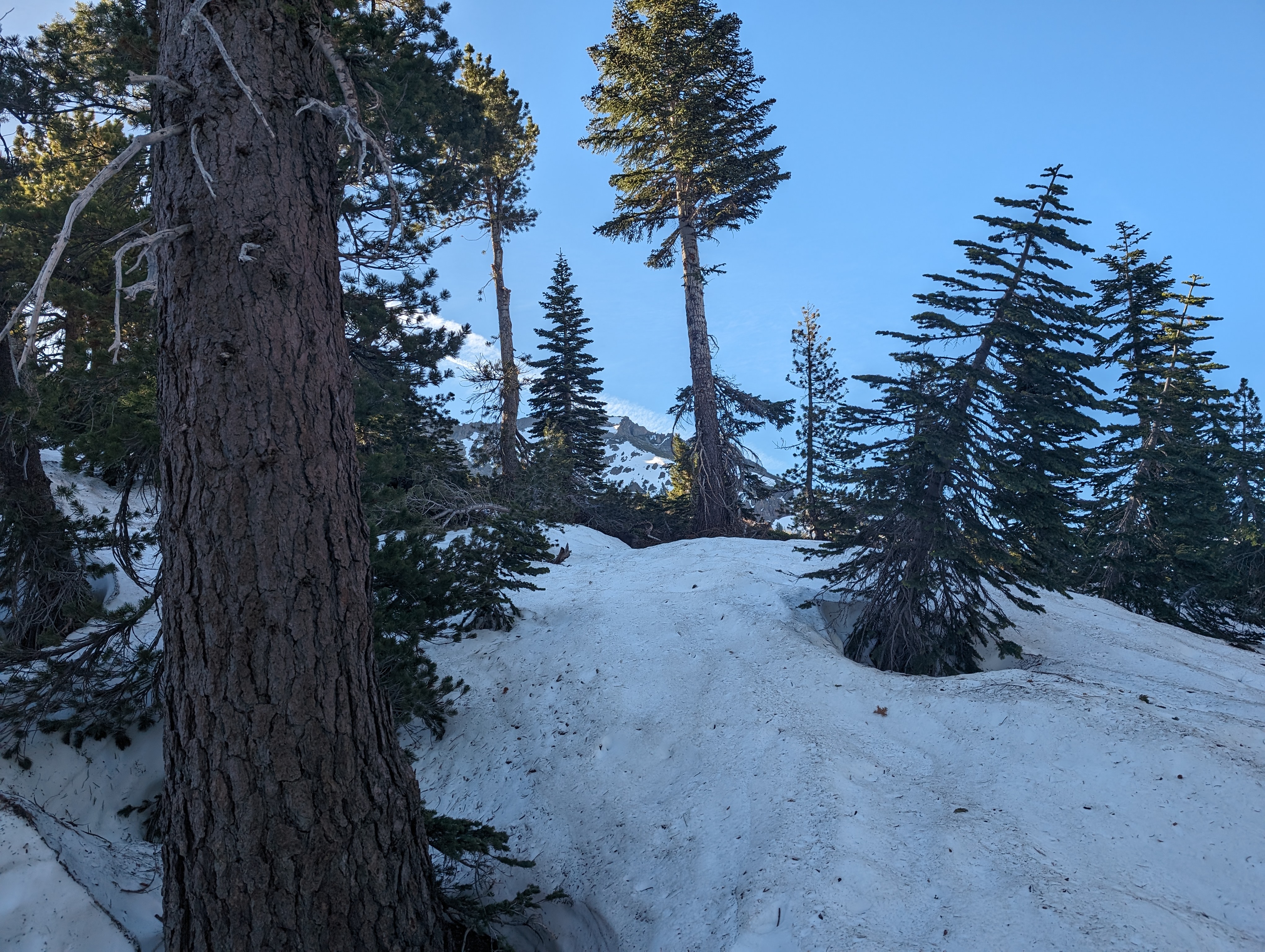 Still good snow coverage up high
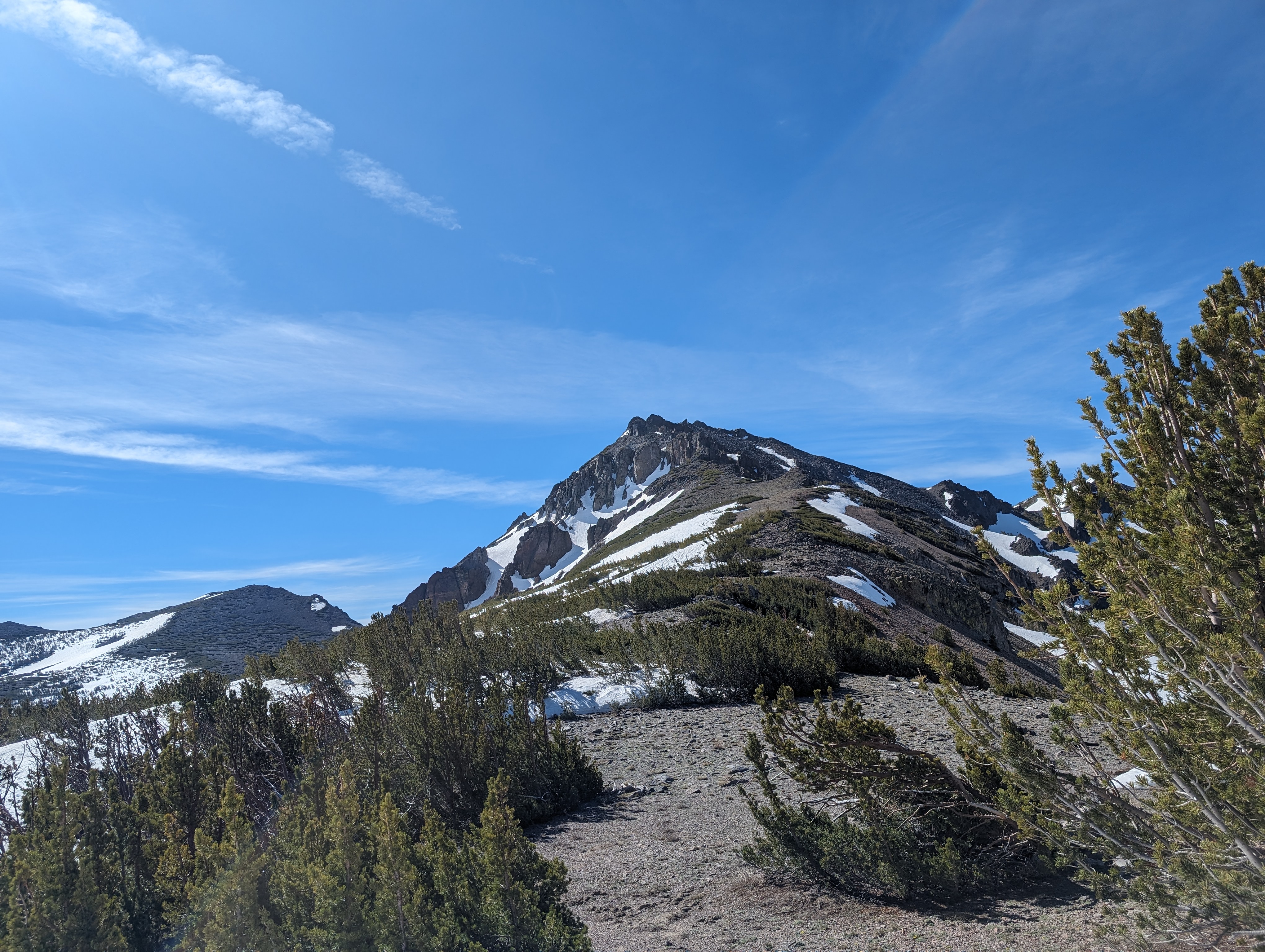
The forest was covered in snow higher up for a bit, before giving way to a mix of low shrubs and talus. One I got to the top of the snow, I decided to leave my ice axe as it was more or less dead weight at that point. I shouldn’t actually call it my ice axe, Chris had left his much lighter ice axe in my truck after we climbed Mt Tyndall a week before, and he agreed to let me test it out for the day. The going got a bit slower from here to the ridge, as it was pretty steep, and there was a mix of loose rocks and low brush. Eventually though, the ridgeline came into sight. I aimed for the lowest point in the saddle above me as I could. There was a moderately large snow patch leading up to it, but it wasn’t very steep, and still fairly firm thankfully.
 Looking back towards Raymond and Reynolds Peaks
 Nearing the saddle
Once at the saddle, I hung a sharp right, to the south, and started looking for what the best line up it was. The ridge between me and the summit was gradual and choked with brush about half way up, beyond that was a fairly imposing set of cliffs that I’d either need to go west of, or possibly find some easy class 3/4 moves up. I found a nice snow patch on the leeward side, which got me through a good bit of the brush. From there, I was able to stay on the ridge proper for a bit, taking some easy stair steps on solid granite. As I got closer to the cliffs, the exposure on the leeward side of the ridge grew as it opened up into a steep, snow filled bowl.
 The ridge leading to the summit
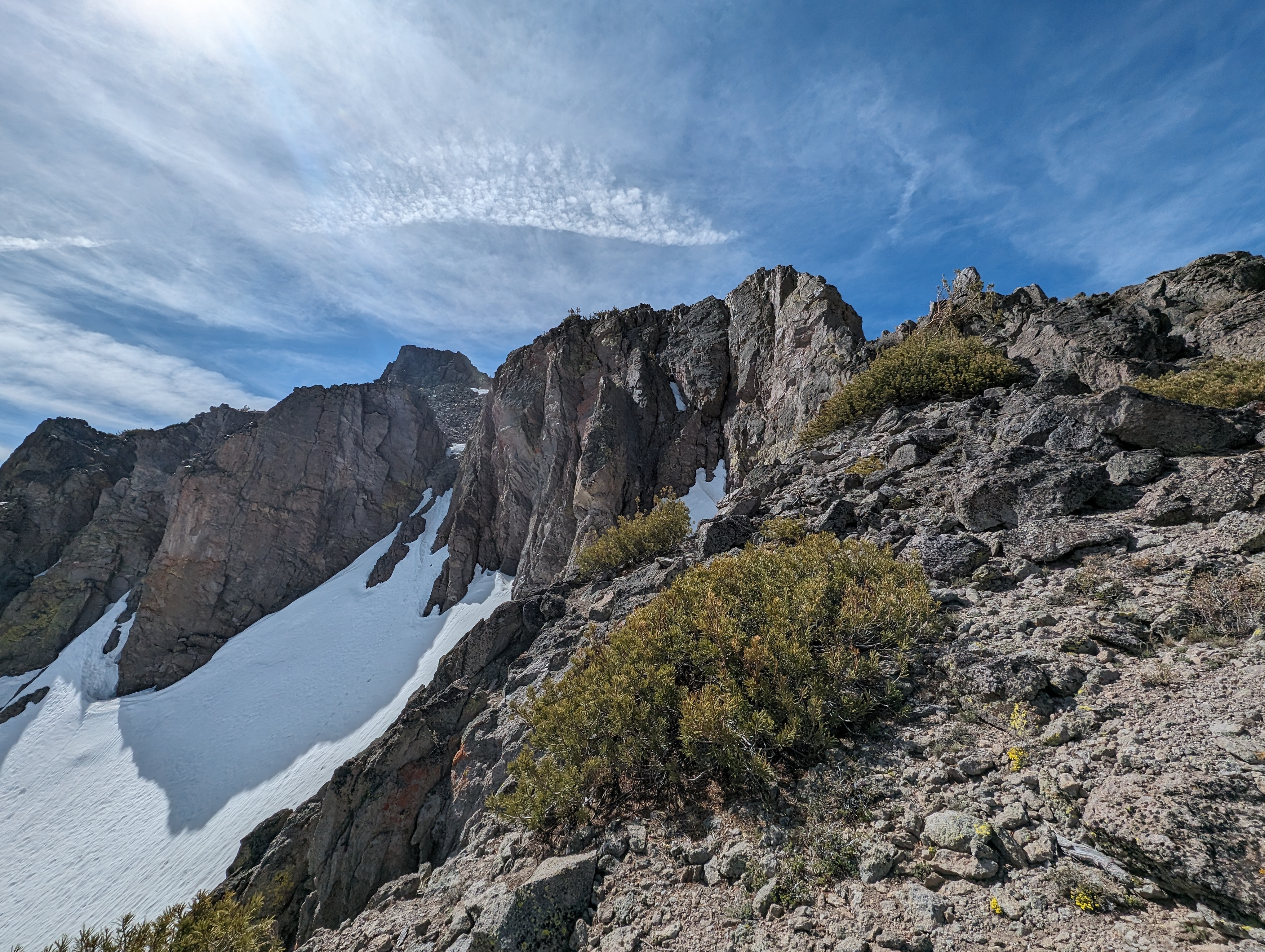 The steep northeastern bowl
I got as far as the spiny ridge would take me before it came to the vertical cliffs, and managed to find a short 30-40 foot easy class 4 route up the cliffs. There was a small bench at the top, which then led me to a small chute filled with some pretty loose rock. There were good hand holds here, so I had no issues with it. From there, it was just a short ridge walk to get to the top, with 1 small false summit composed of a steep rock outcropping.
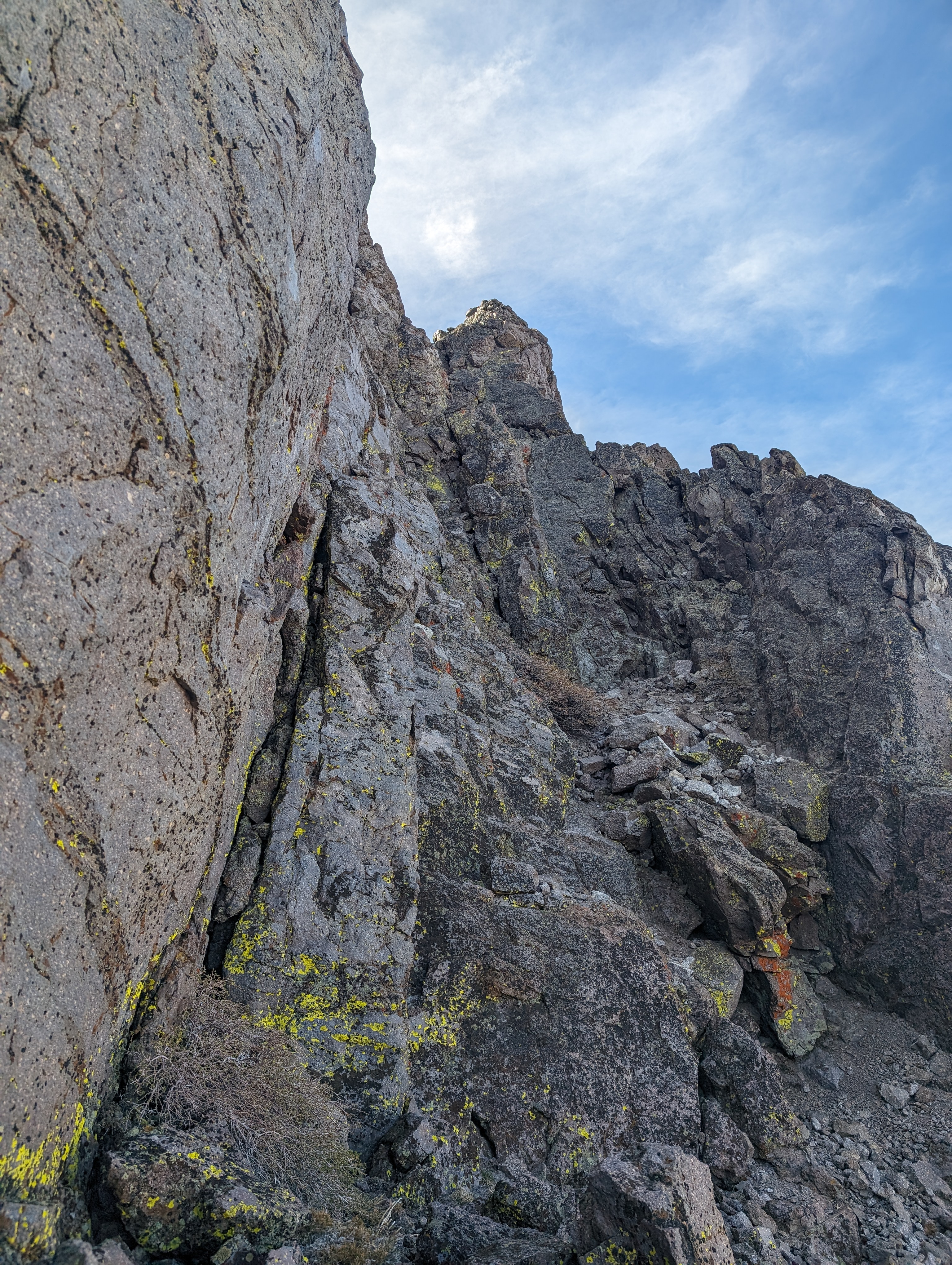 Some easy class 3-4 moves, these can be bypassed to the west
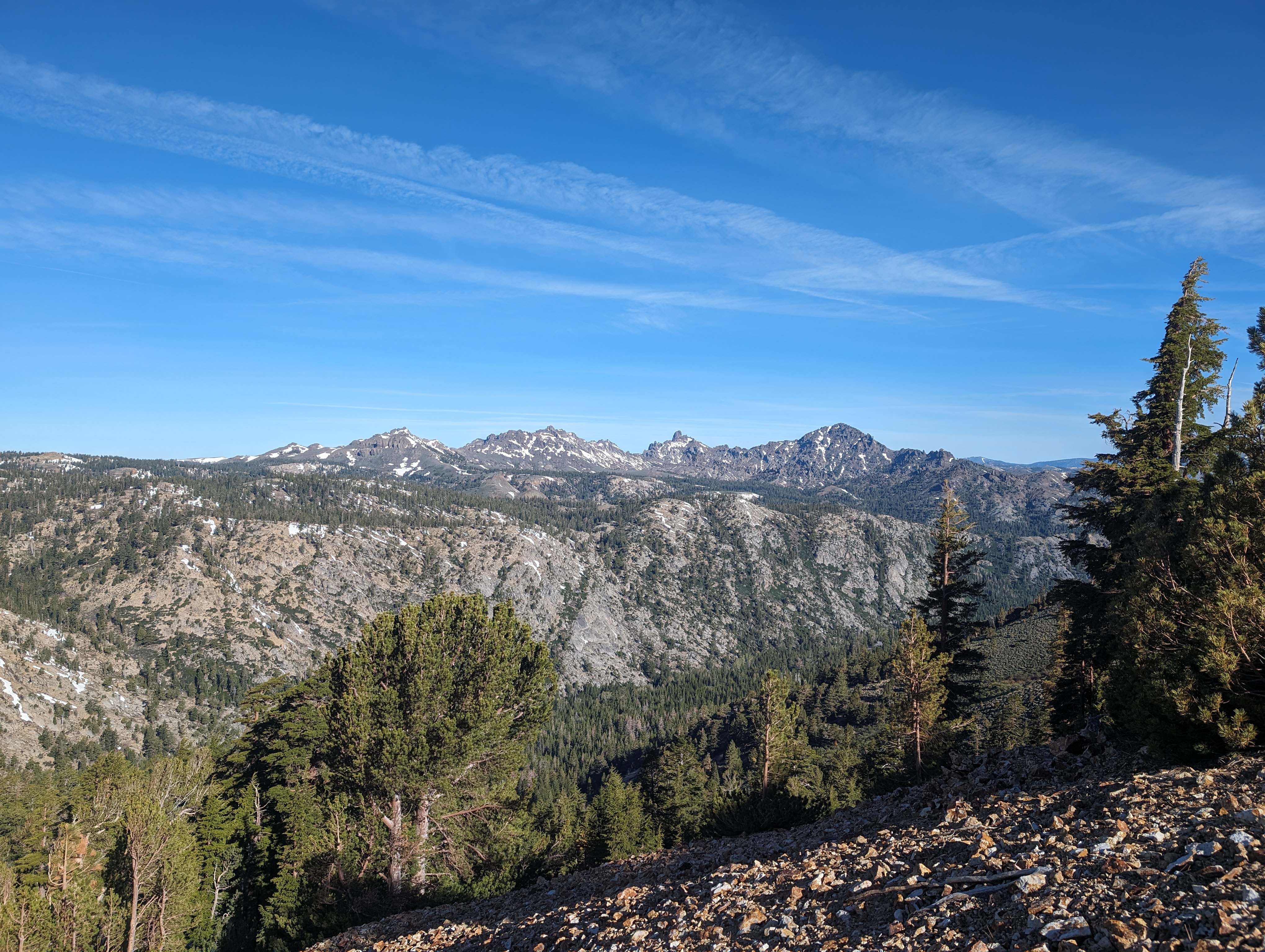
I topped out around 10:20AM to clear skies and a fantastic view of the surrounding area. I could see a variety of other peaks I recognized, such as the Sweetwaters, Round Top, Mokelumne Peak, Raymond and Reynolds Peaks, the Freel-Jobs Massif, and many more. Somebody had made a pretty nice laser etched sign with the name of the peak, and a pretty woefully inaccurate elevation. The sign showed an elevation of 11,099, which is nearly 200’ of extra elevation. Thats a long way to hike a sign without taking the effort to confirm the elevation. Perhaps there was some new geological survey that I’m unaware of, but I highly doubt that.
Some easy class 3-4 moves, these can be bypassed to the west
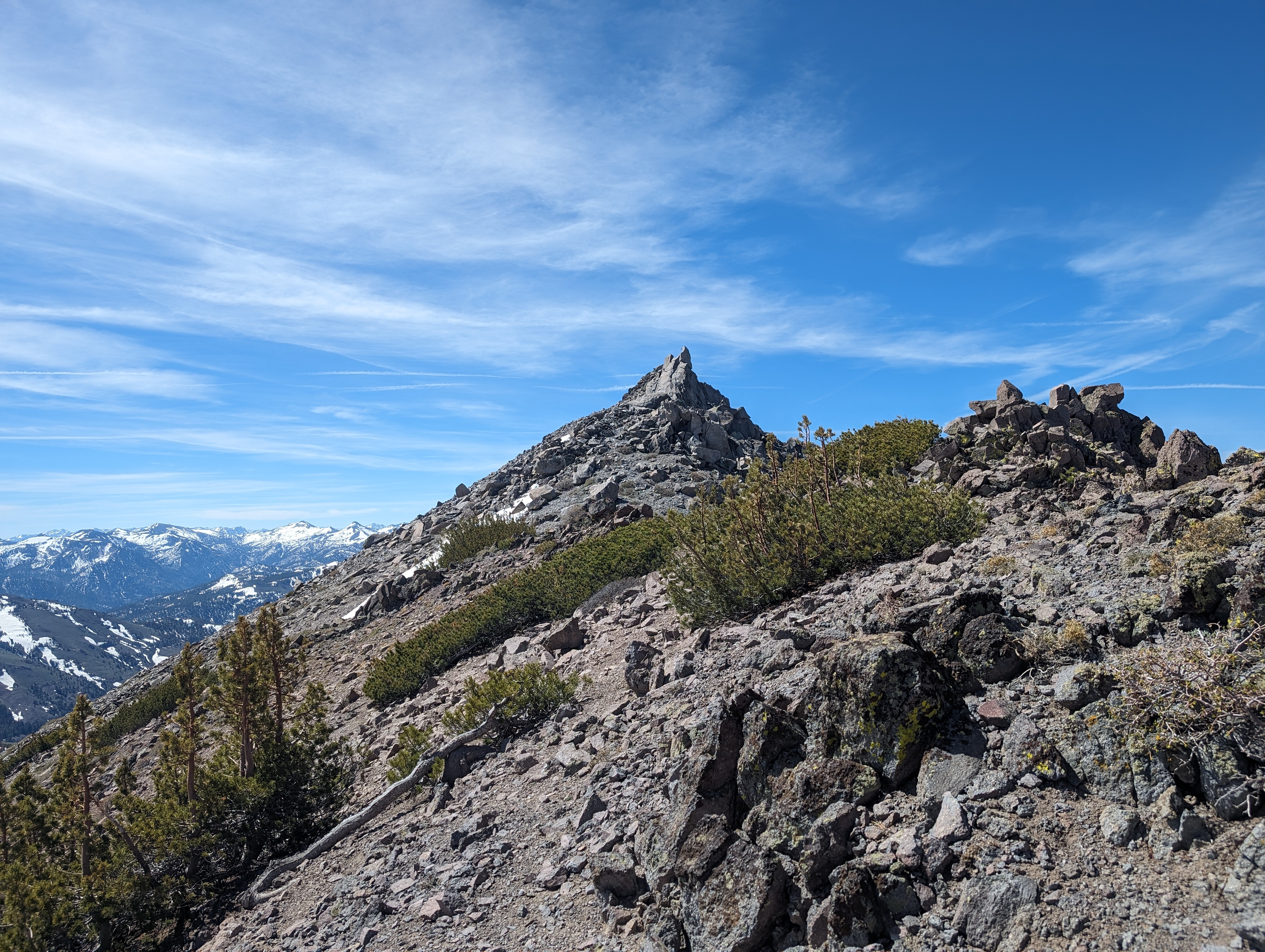 Nearly to the top
I sat down in the cozy summit rock shelter and enjoyed a nice lunch of a bagel sandwich with leftover steak, and a bag of Flamin Hot Cheddar Ruffles, truly the Wheaties of the mountaineering community. I hung out for a good half hour, enjoying the view, and making sure to let my wife know I had made it.
 Summit Panorama
 The woefully inaccurate sign somebody carried up there. Thankfully for them, its just thin Poplar
 A nice relaxing lunch spot
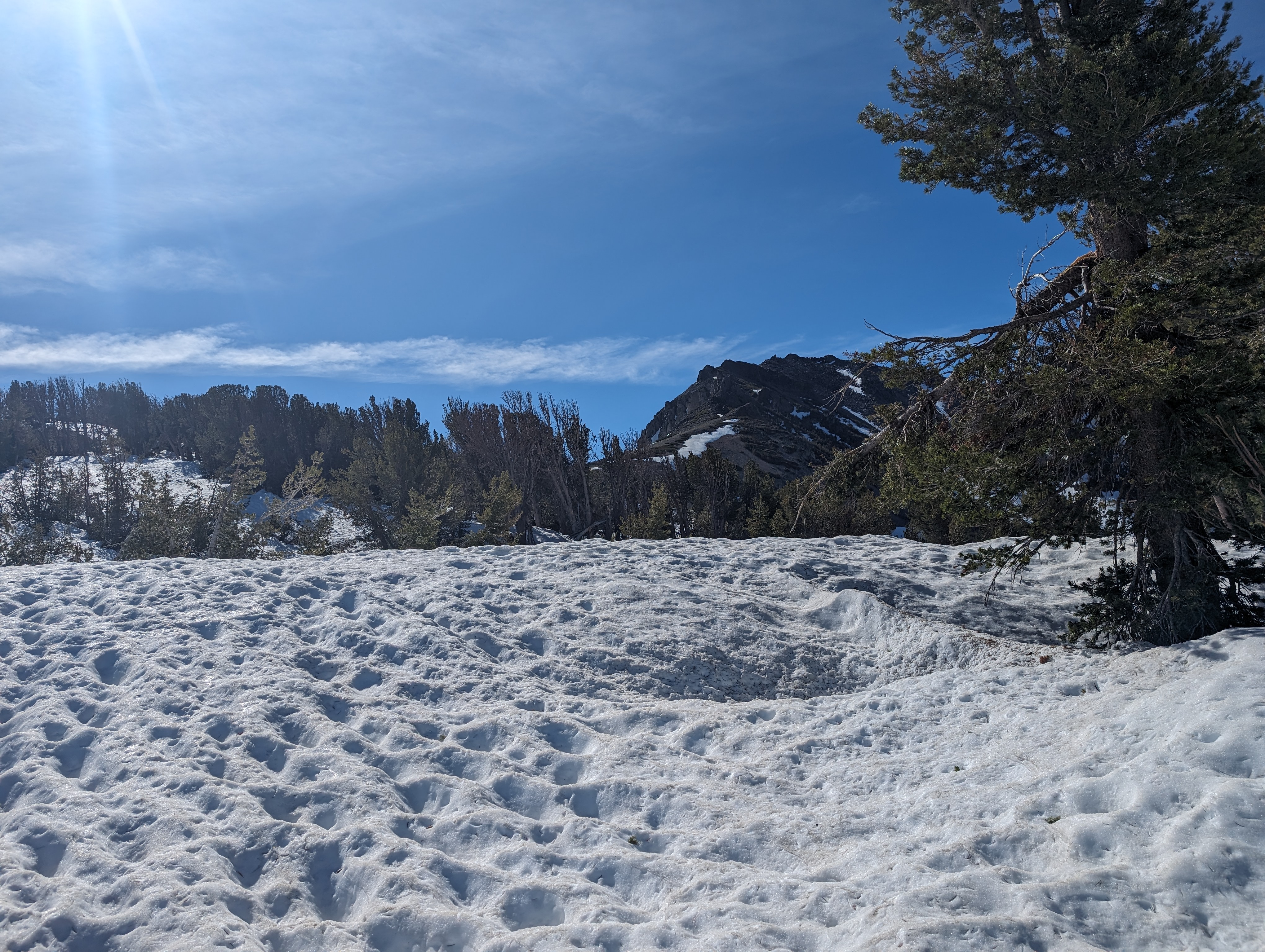
I set off and planned to head back more or less the exact way I had come up, at least until my ice axe. I did end up going around the class 4 cliffs to the west, as downclimbing is neither as safe, nor as fun aWhen I got back to the snow patch at the top of the ridge, I did end up detouring a bit further north than the way I had come up. This worked out well as I was able to stay on the still fairly firm snow a bit longer. The next section down to my ice axe was not a ton of fun. I felt like I was going in slow motion as I carefully tried to pick my way through the steep field of rock and bushes. THe route finding in this kind of terrain is much more difficult while descending, as you can’t really see the route as well as you can when its right in your face.
 Slow going on the descent
Thankfully I made it to the ice axe without any issues, and prepared myself for some standing skiing, or as the french call it, glissading. I packed one of my poles away on my pack, and went with the ice axe in my right hand, and trekking pole in my left. This worked really well, and I actually did end up needing to self arrest one time, although a slide here wouldn’t have had much consequence. I shot myself down about 800’ of elevation here in just a few minutes. At the base of the snow, I cut back towards my route, which was a bit to the south. This spit me out back in the ancient grove of trees, which I took a bit more time to enjoy on the return.
Enjoying some glissading
After some time enjoying the massive trees, I ended up a bit south of my ascent route, and followed the tributary creek back down to the trail. I made it to the trail, and walked perhaps a quarter mile where I found a nice log to sit on and shake some duff and pebbles out of my shoes. From there, it was just an easy, uneventful walk along the Noble Canyon Trail. I never saw another soul the entire day out there, which to me, is a sign I’m doing the right hikes. The creek once again had a surprisingly strong current, but I made it across with no issues. I again kept my crocs on, which I kept on all the way back to the truck, arriving just a few minutes shy of 2PM.
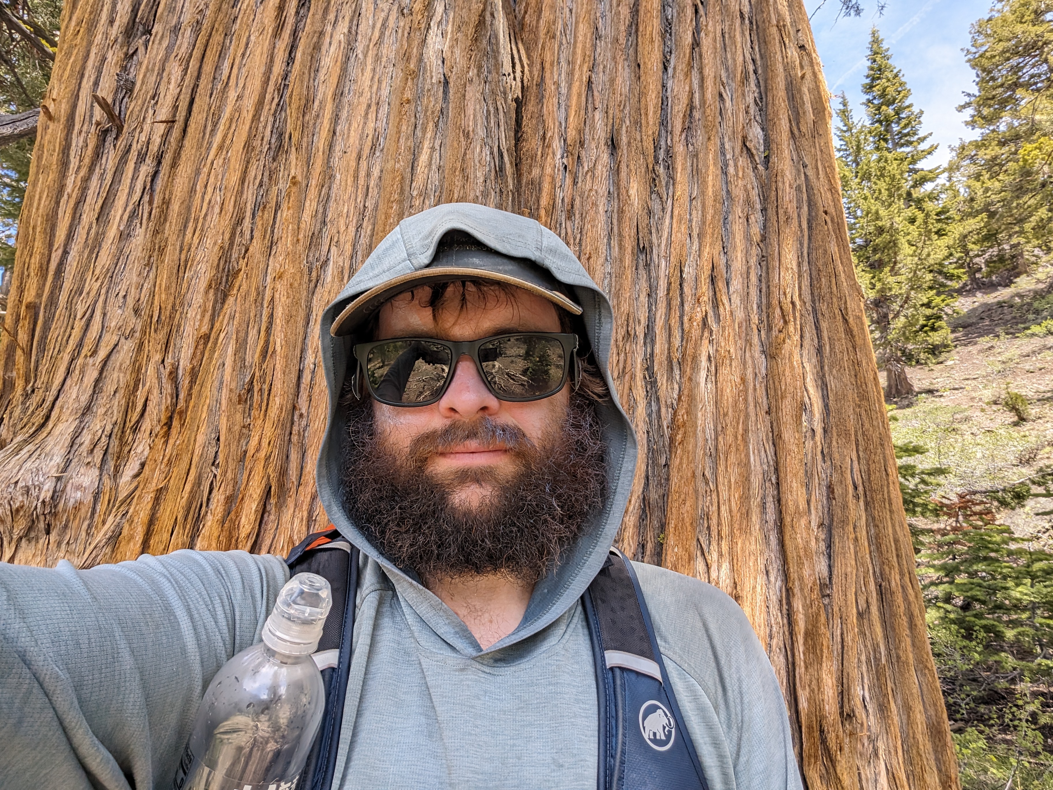 A monster Juniper with me for scale
Route
 My route
GPX Track Download
My route
GPX Track Download