June 23rd, 2024
I was on a bit of a tear for the week, having done 3 Ogul Peaks already, so I wanted to keep the streak going. I asked my Dad if he’d be interested in taking the tram at Palisades Tahoe up to access some peaks, and he liked the idea. Him and I climbed Granite Chief via the Granite Chief trail in 2016, so it didn’t really feel like we’d be missing much by taking the ride up. I also further justified it to myself by thinking of how much of a commonplace this kind of thing is in the Alps. We may not have nearly as much infrastructure in the Sierra, but I’m happy to take advantage when I can. I also talked my wife into coming up with us for the day so she could go paddle around the lake near Tahoe City on her SUP.
We loaded into the Prius at a leisurely 7:30AM (the tram doesn’t start until 10AM), and made the drive up to the Palisades parking lot, where my wife dropped us off. We got our tickets printed, and loaded onto the tram right at 10. By 10:15, we were up at high camp, which was bustling with activity as that was the day the Broken Arrow trail race was taking place. We made our way up a dirt road, with a steady stream of runners coming down towards us the entire time.
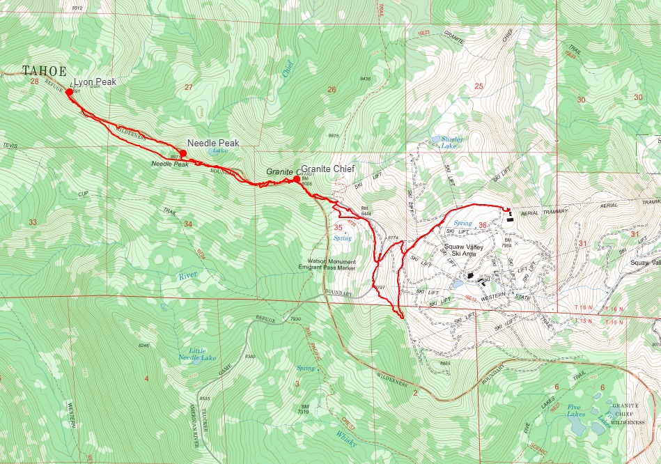
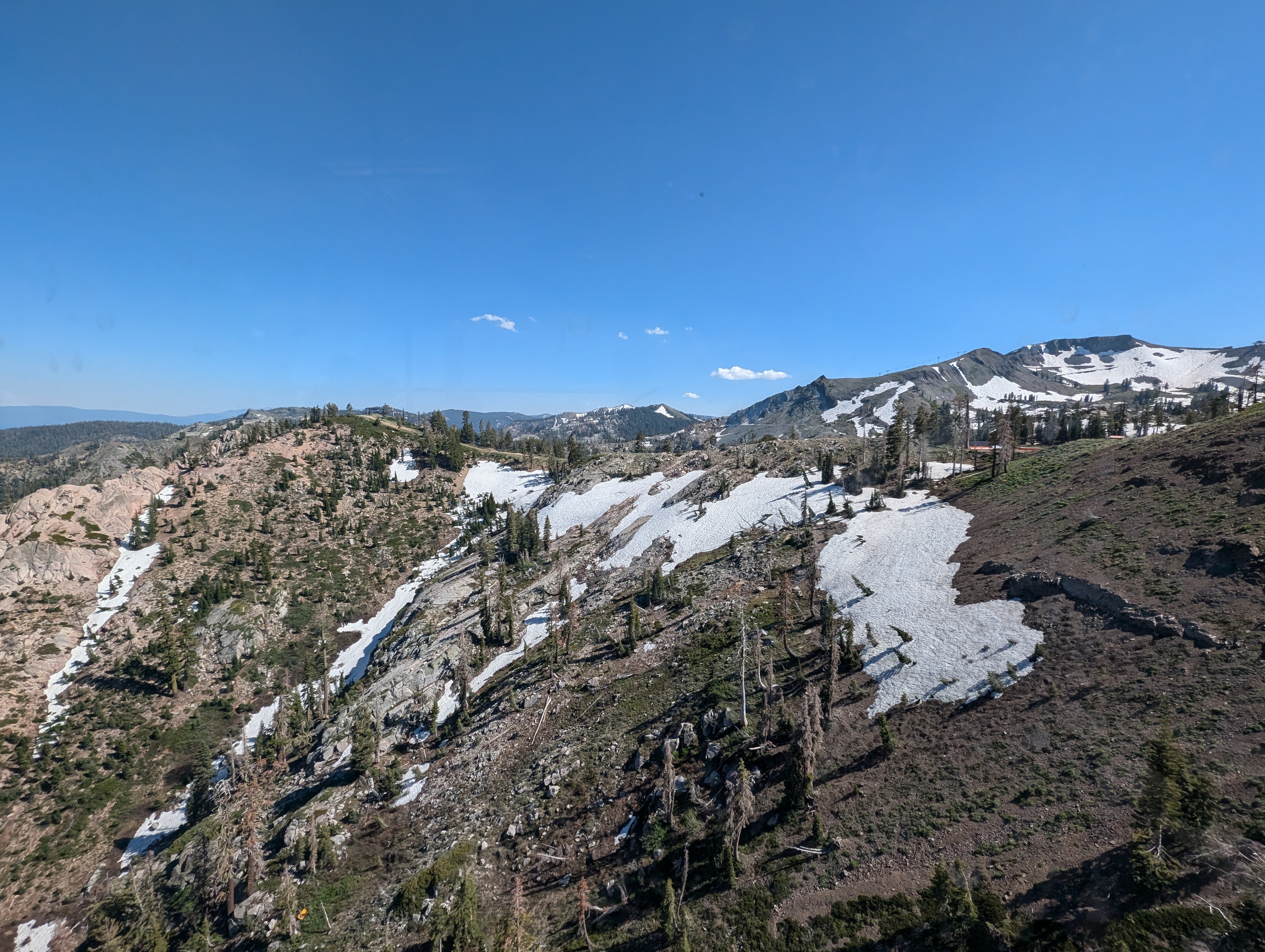
 View from the tram
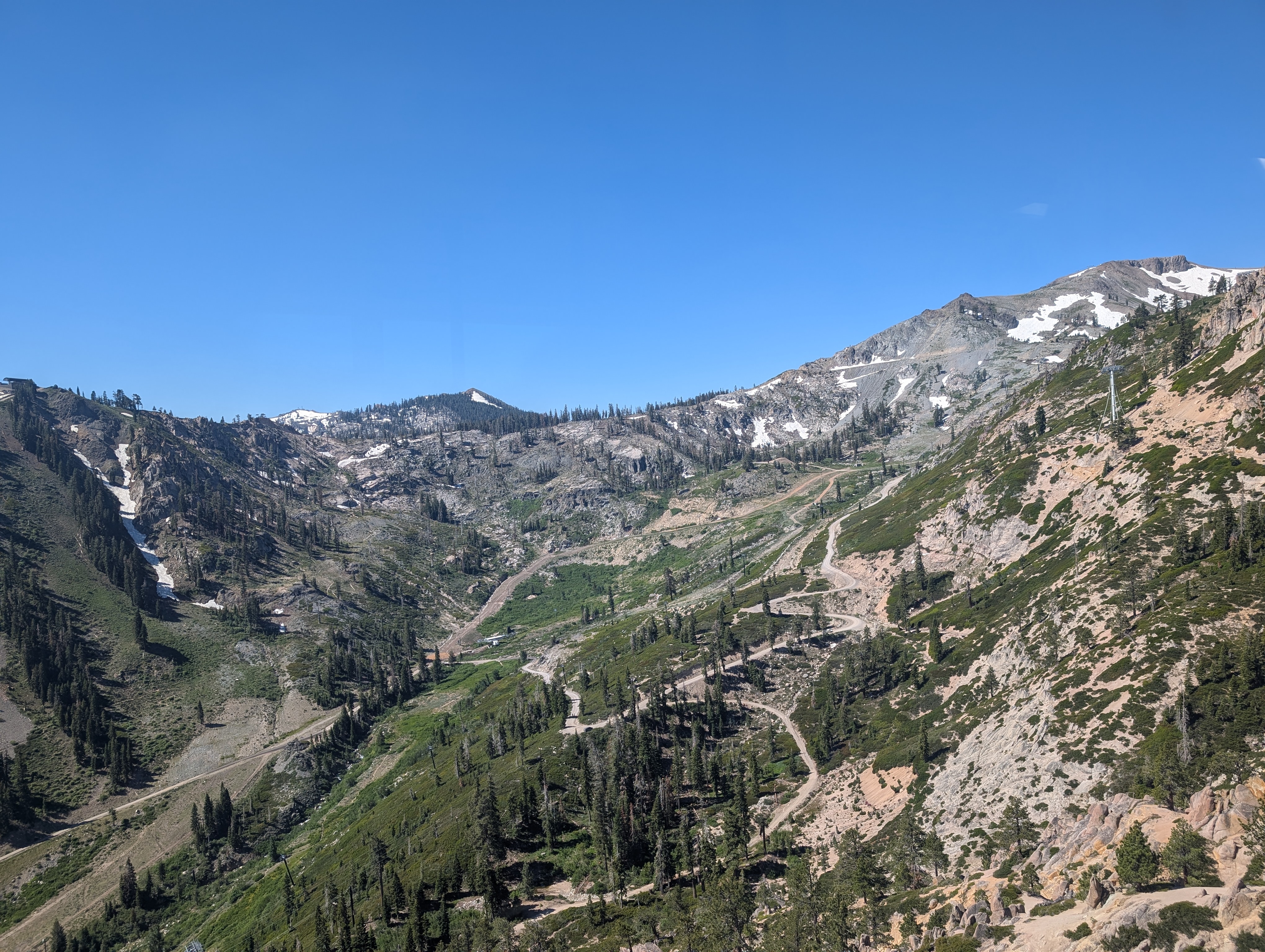
 Unloading the tram at high camp
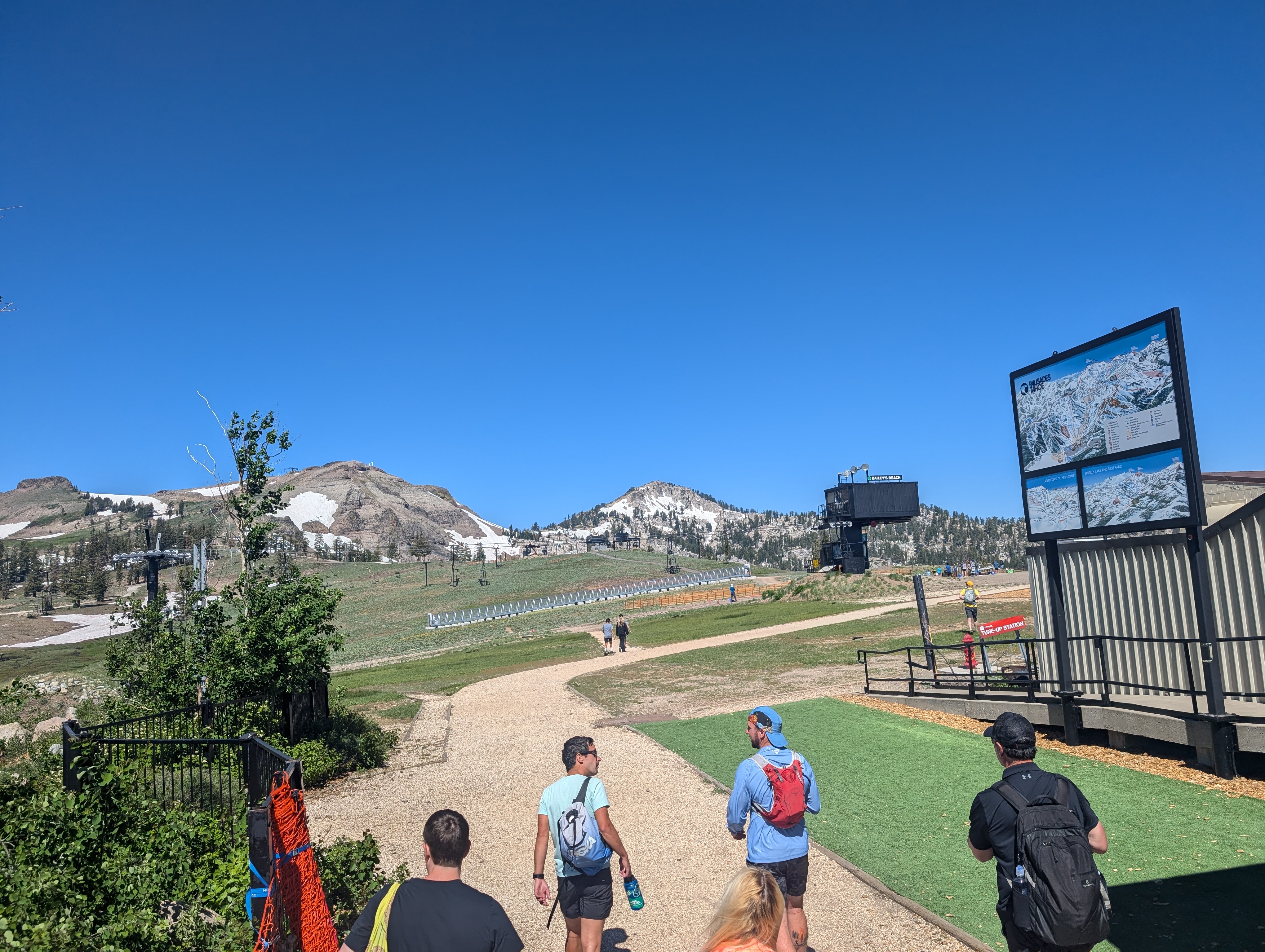
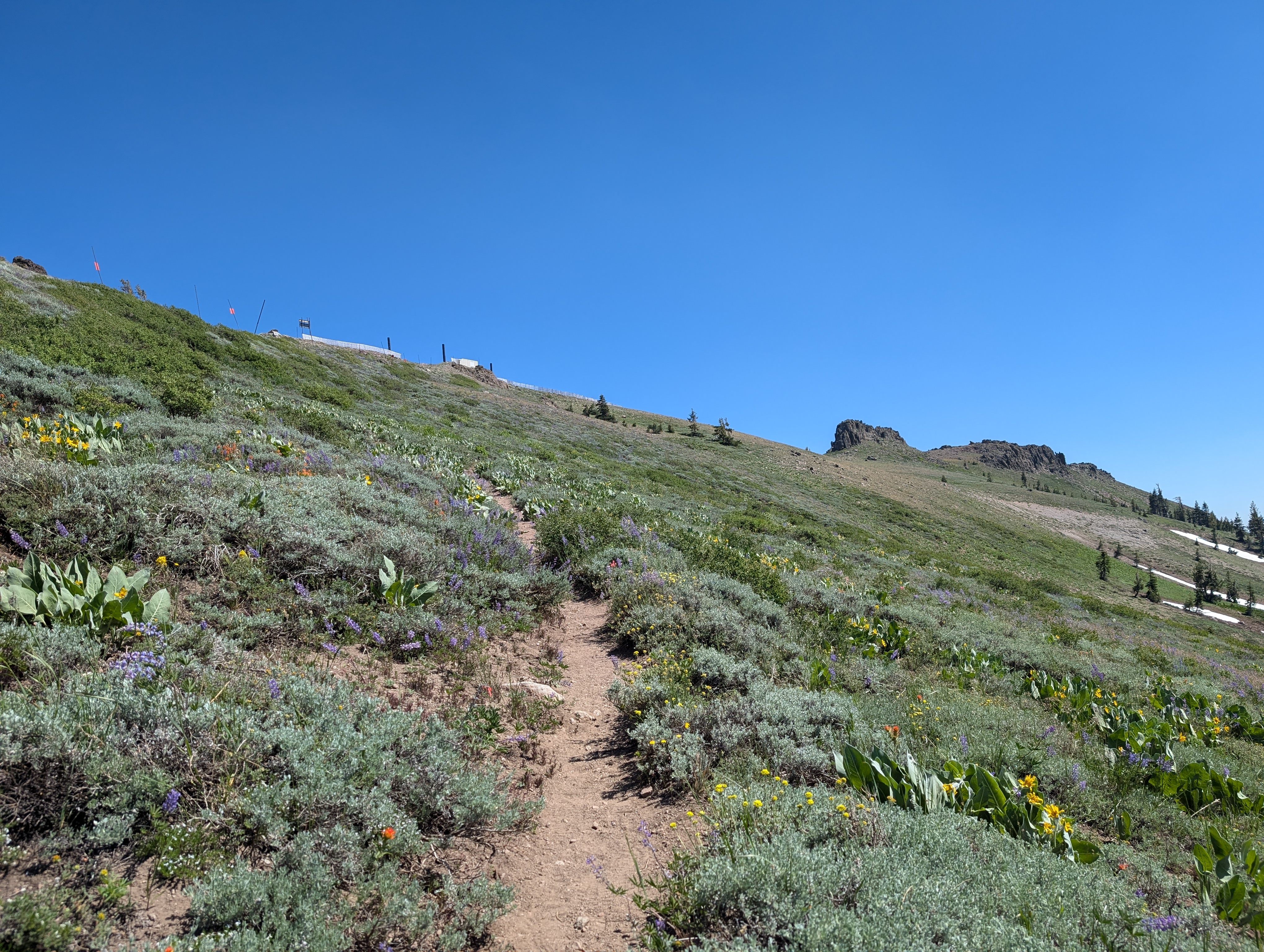
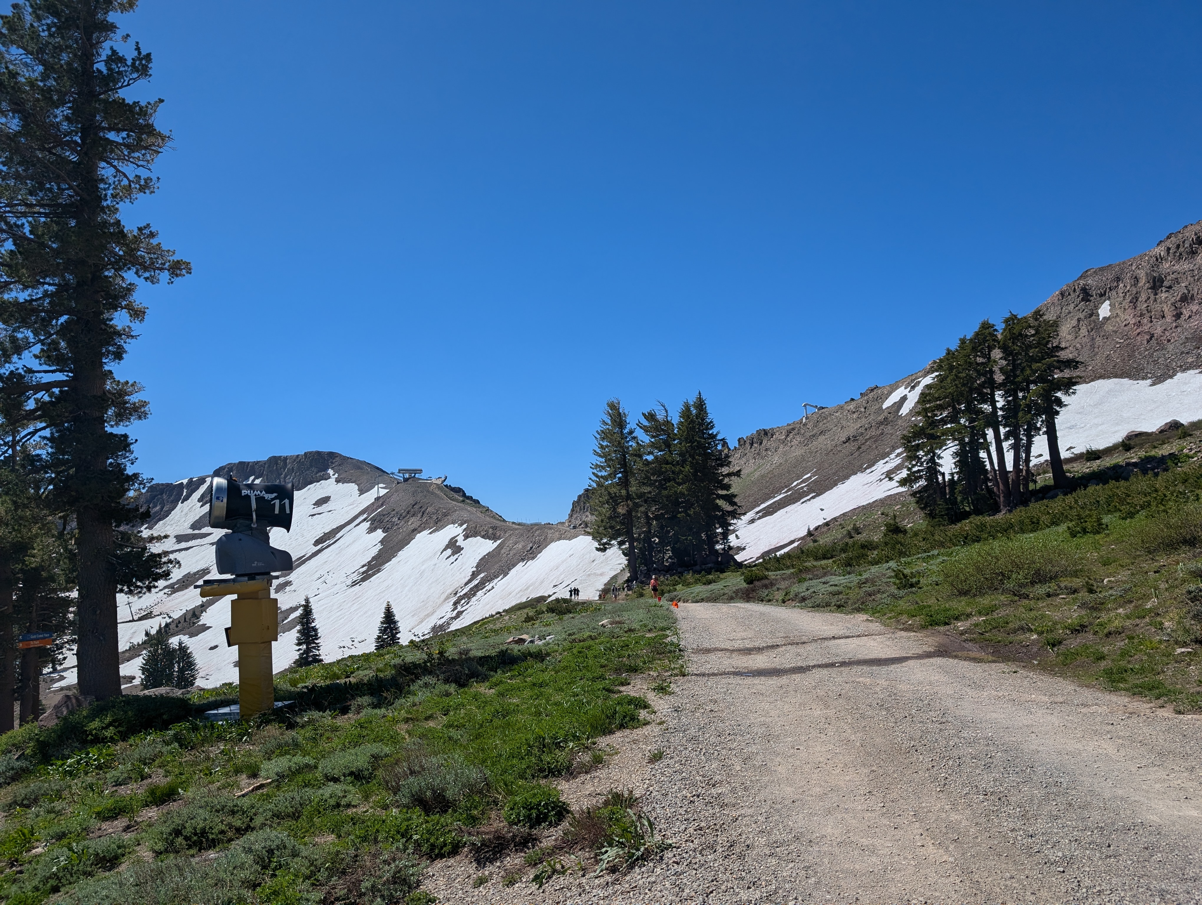 Making our way up to the ridge
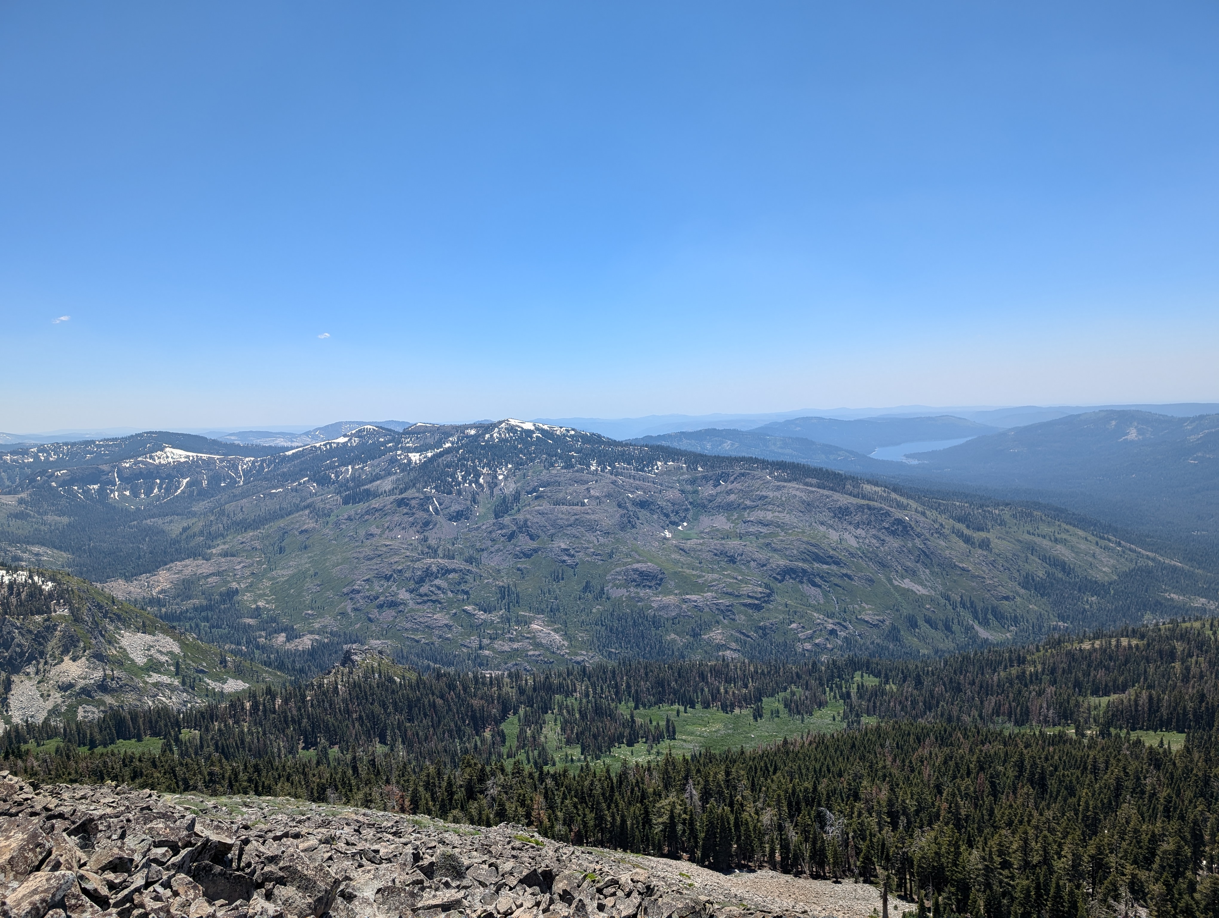
We ended up taking a bit of an unplanned detour, going a bit south of the spot where we wanted to be. This forced us to traverse along the west side of the ridge, and over peak 8797. It didn’t add too much time, and we got an extra unnamed peak, so I wasn’t too upset. From there, we crossed by the plaque for the Placer County Emigrant Road. This was apparently a route used by emigrants in the 1800s to come from the Foresthill area to Tahoe.
 Looking towards Granite Chief from Peak 8797
 The Emigrant Road Plaque
From the Emigrant Road plaque, we were able to get back onto a trail and make much better time. The trail fizzled out a bit as it approached Granite Chief, and became covered in snow on the east side. I went straight up the snow, while my Dad opted to stick to the west side to avoid it. When we reconnoitered at the end of the snow patch, he let me know that he wasn’t feeling up to the ridge walk, and that he’d hang out in a nearby pine copse that provided some nice shelter from the wind. I didn’t feel too bad, as it was a quite lovely place to relax for a few hours. I made a waypoint in my Caltopo app so I could be sure to find him, and set off towards Granite Chief.
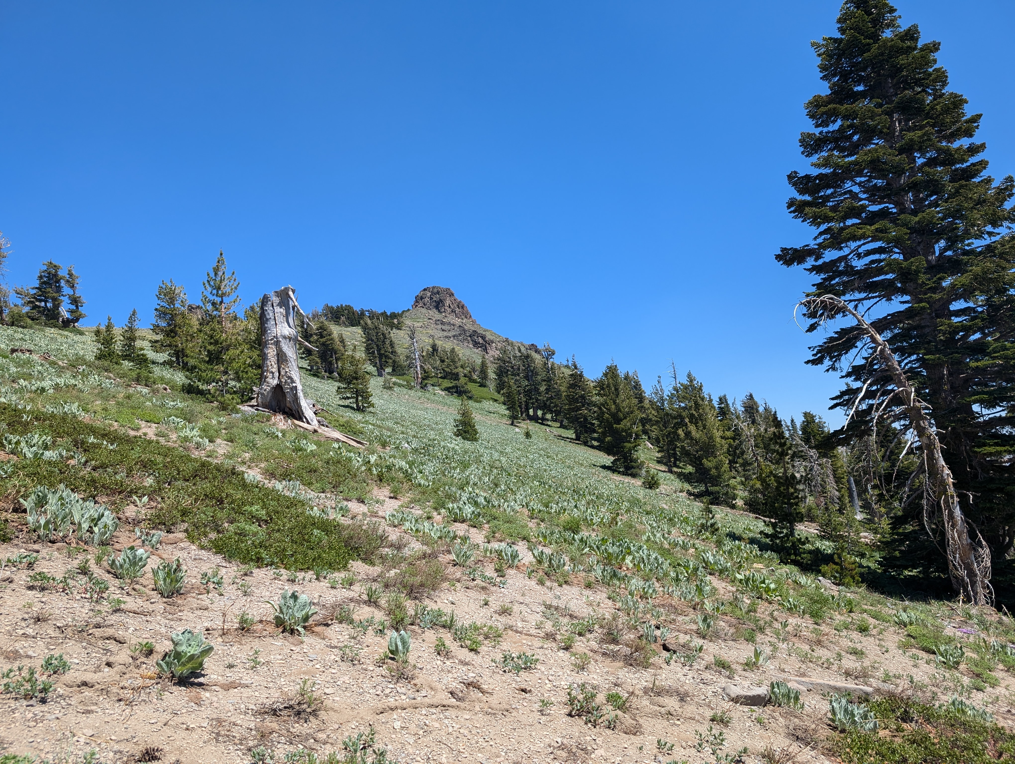
 Snow leading up to Granite Chief
I was on top of Granite Chief in just a few short minutes, where I found 3 other hikers. 2 of them were an older couple, who asked if I could take their picture, and then returned the favor for me. I signed the register, and was soon ready to head for Needle Peak. The older gentleman gave me some info, as he’d done that route a few times before. He mentioned a trail down below the ridge that offered easier going than the ridge proper, but would require gaining the elevation again. Looking at my maps, I think he must be referring to the Tevis Cup Trail. I opted to stay on the ridge, as I find that to just be more fun.
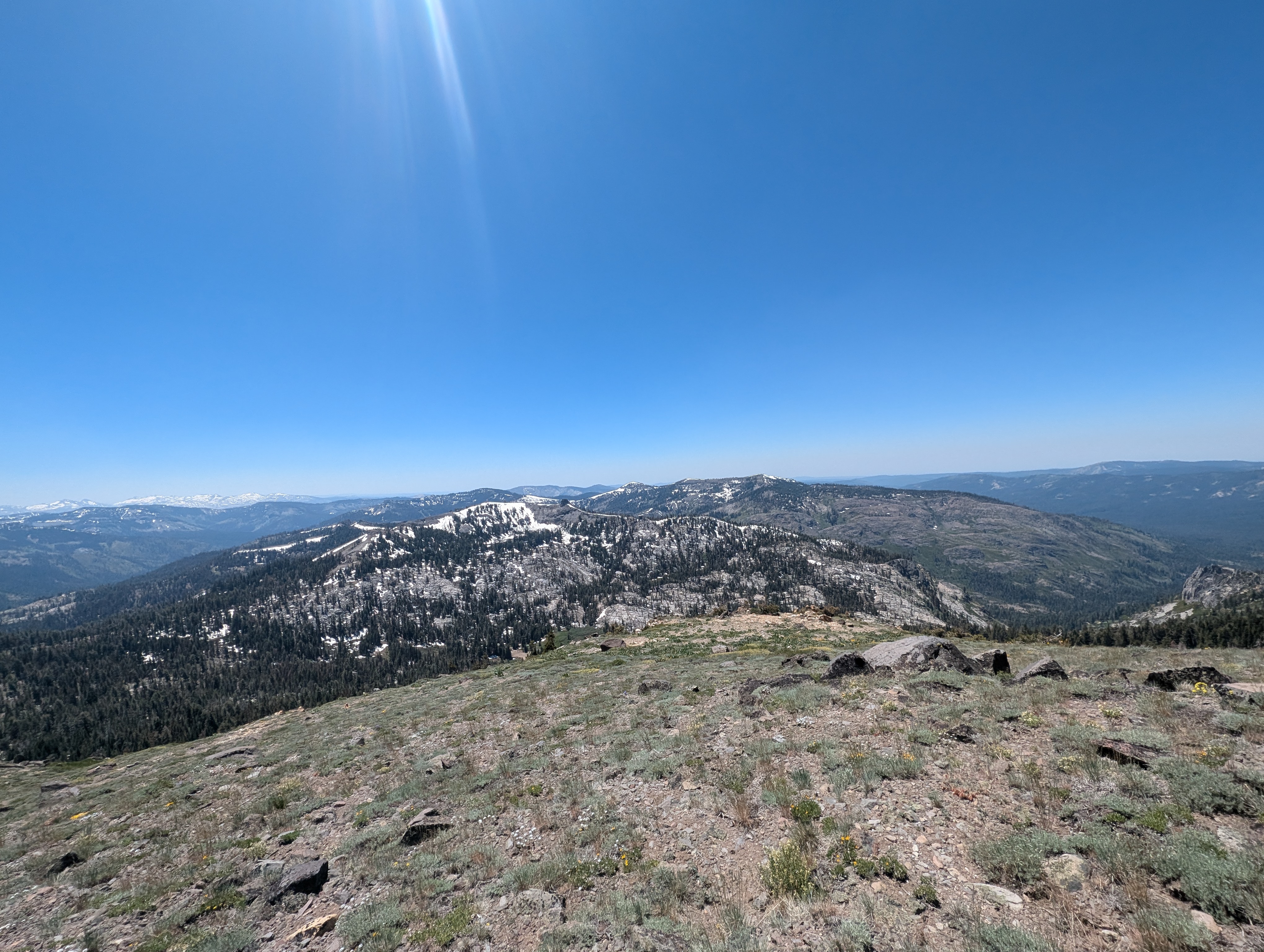
 Granite Chief Summit Panorama
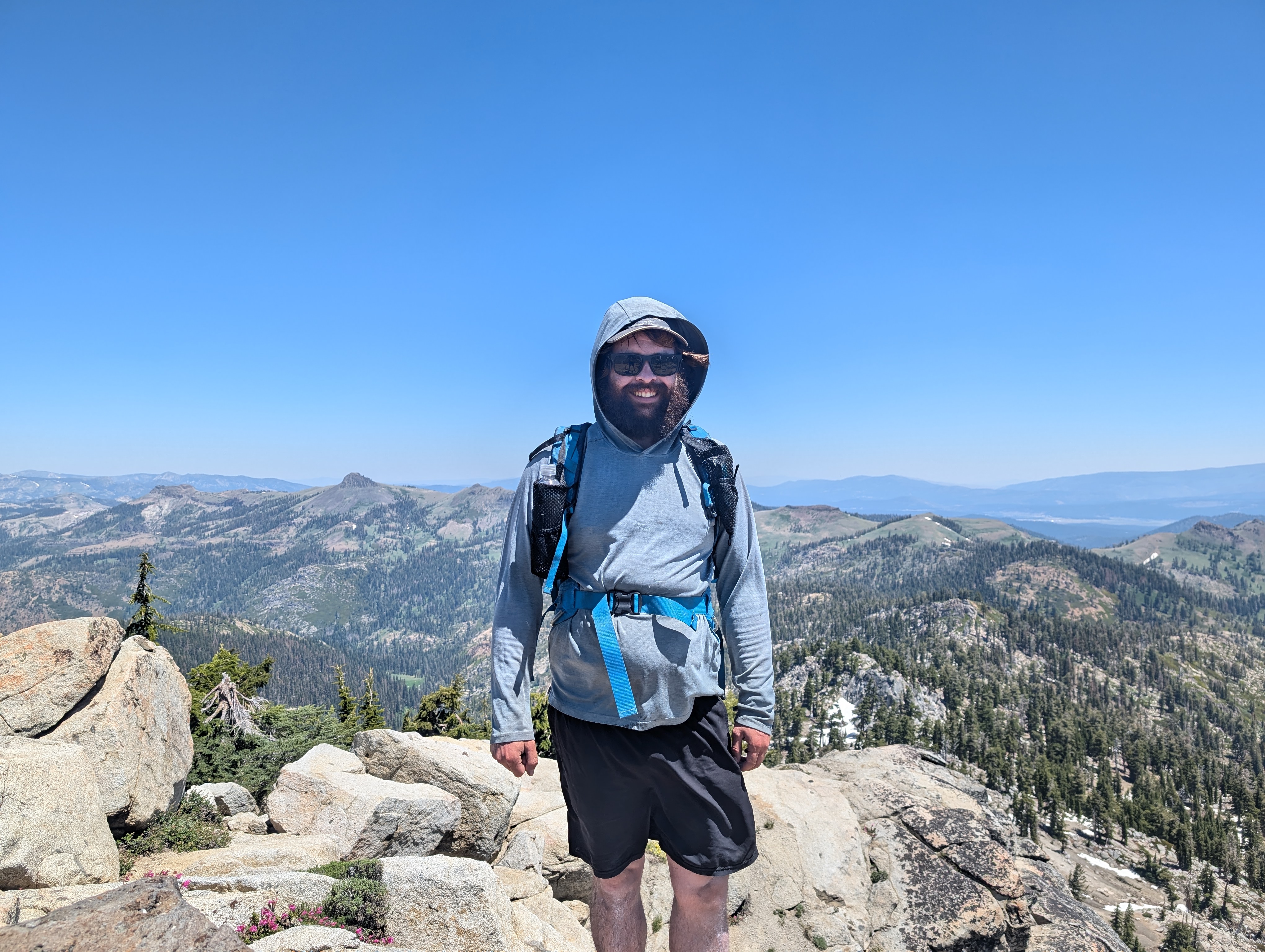 A rare photo of myself on the peak
The ridge down from Granite Chief wasn’t too bad, although there was a decent bit of rock hopping. Once I got below the rocks, the route weaved in and out of some trees, before leading to a small class 3 section that could be avoided to the west, but I chose to just scramble up it. The route then went up another hump in the ridge, where I stopped to transfer some water into the smaller bottle I carry on my shoulder strap. From there, it was just down a bit and then back up towards Needle.
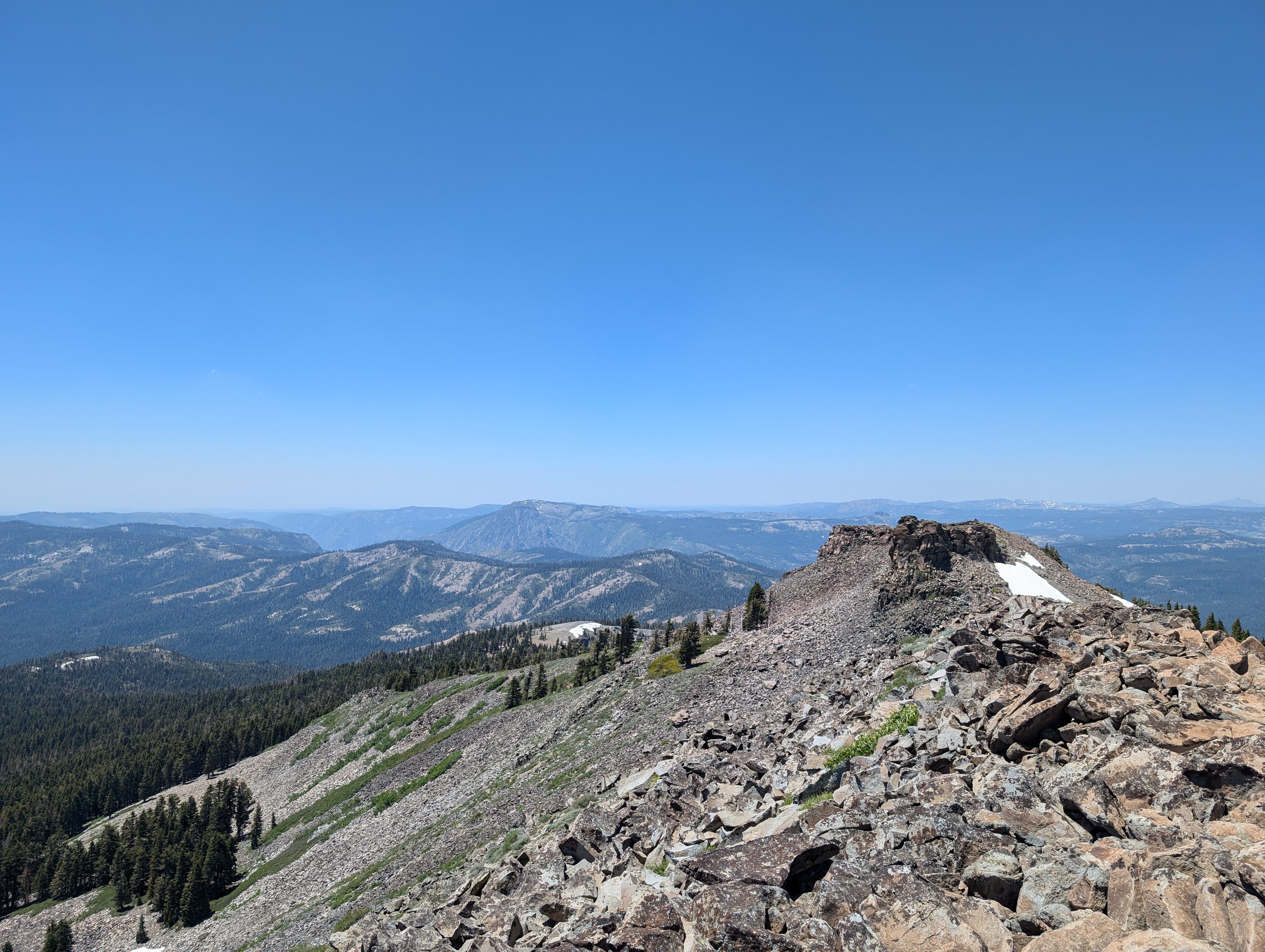
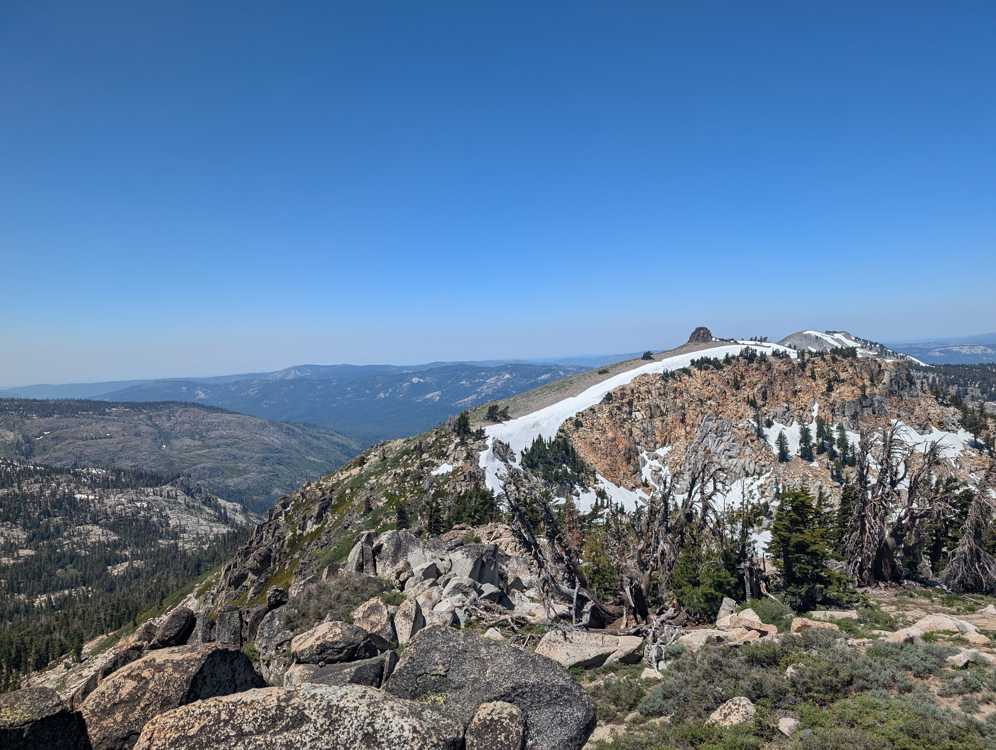 Looking towards Needle and Lyon Peaks
 Mt Mildred to the West
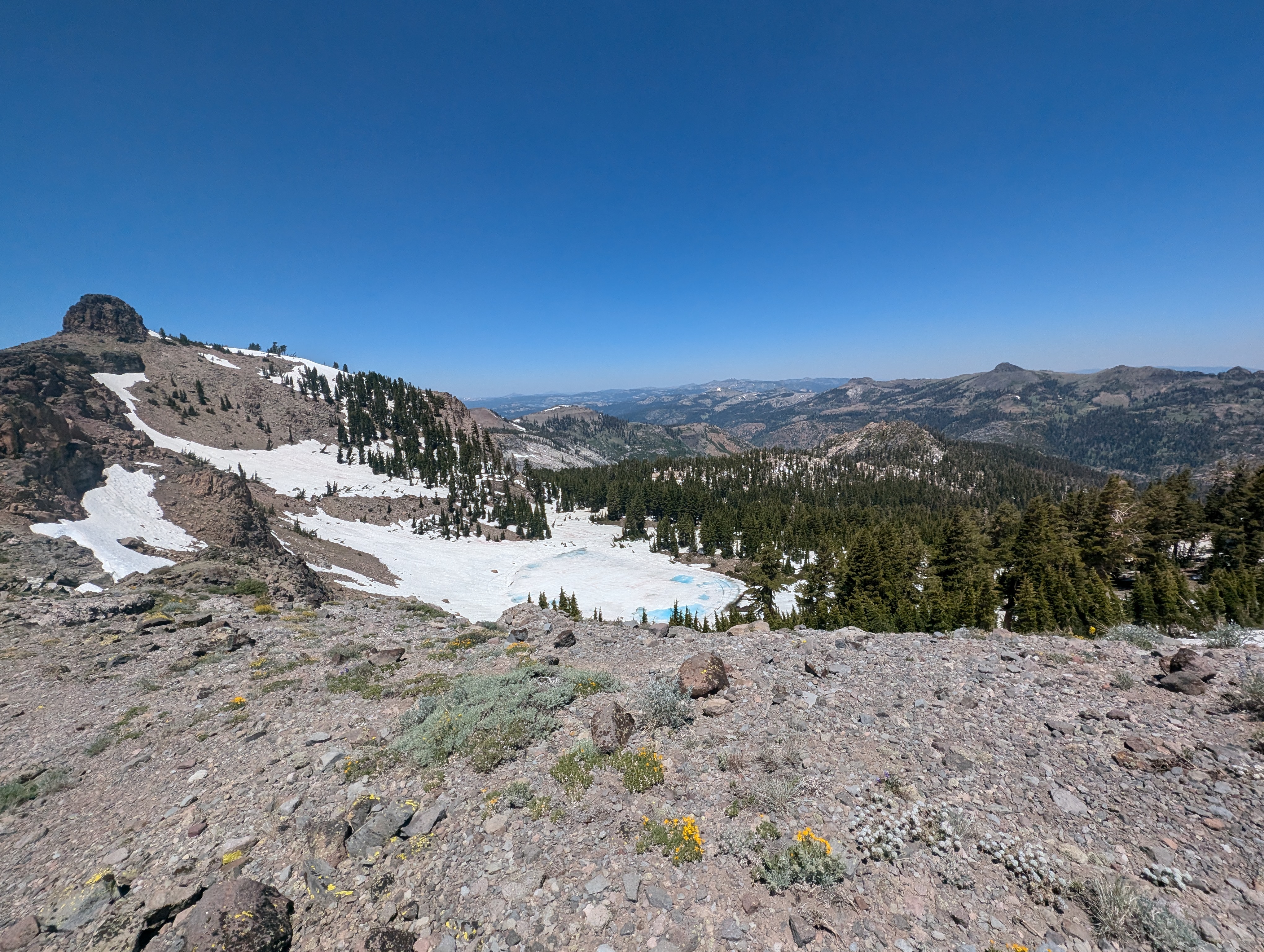 Needle Lake starting to thaw
I made my way towards Needle Peak, and ended up bypassing the steeper section on the west side of the ridge. I found a nice looking route on that side, and took it up to a small shelf just below the summit block. Another short scramble and I was atop my 55th Ogul Peak. I didn’t want to leave my Dad waiting for too long, so I snapped a few pictures, enjoyed the view for a few minutes, and was on my way towards Lyon Peak.
 Needle Peak Benchmark
 Needle Peak Summit Panorama
The first half of the walk over to Lyon was easy going, just light DG and occasional rocks with some vegetation. After reaching a low point in the ridge however, it turns into somewhat loose talus. The going wasn’t terrible, but it was definitely a bit slower than before. I stuck to the highest point on the ridge as possible through the talus, and made pretty good time up to Lyon Peak. The summit was slightly ambiguous, although there is a small rock cairn to mark it. It almost appears as though the point slightly to the north is higher, but my map confirmed that I was indeed at the summit. I found an empty, very old coffee can, but no register inside of it.
 Nearing the summit of Lyon Peak
 Lyon Peak Summit Panorama
 French Meadows Reservoir and Mt Mildred in the distance
 Snow Mountain and Devil’s Peak, where I had been a few days before
I hung out for a few minutes to eat some of the lunch I had brought - a small baguette, cheese, salami, and hummus. The lunch was delicious, and on theme with the European style mountain day. I quickly set off after eating, and opted to try to stay below the ridge on the west side for the return trip. This strategy definitely saved time and effort, but my left foot was a bit annoyed with all of the side hilling, especially as I started to get a clump of sand built up inside of my shoe. The wildflowers were quite nice, as was the fact that I wasn’t doing as much calculated rock hopping on this leg. Before too long, I was back below Granite Chief, where I briefly picked up a use trail that helped me avoid most of the rock hopping back to the summit.
 Side Hilling my way back
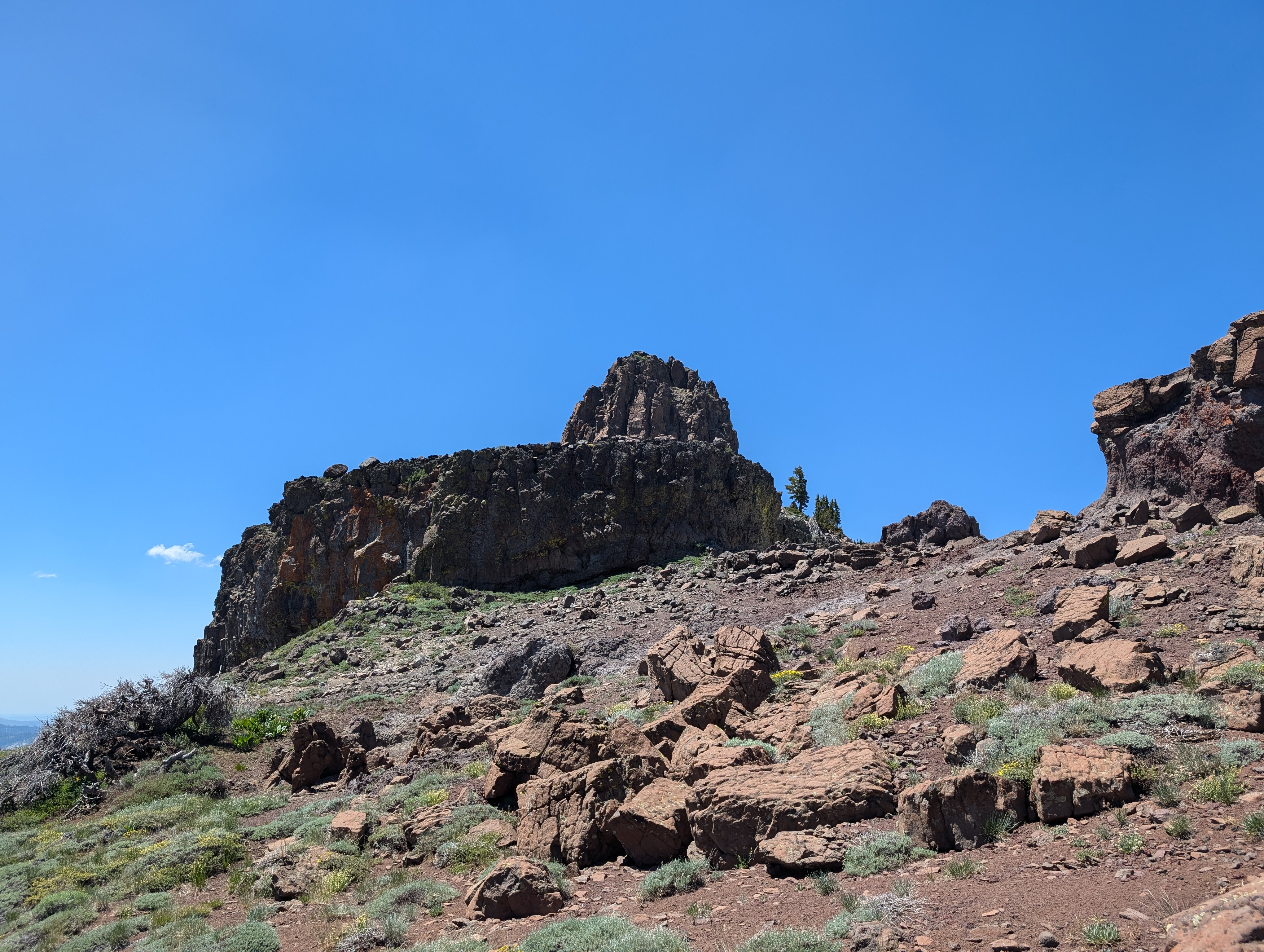 Needle Peak looks much more imposing from below
Once back at the summit, I texted my Dad that I was a few minutes away, and jogged down the nice sandy trail to meet up with him. I found his spot easily, and we hung out for a minute or 2 to discuss how the day had gone. We then saddled up, and headed back down the trail. We briefly spoke with a PCT hiker where we crossed the PCT, and then made our way to the proper saddle we were supposed to take back down to High Camp. We arrived at High Camp right around 4PM, and hopped on the tram to get back down to the parking lot where my Wife would meet us.
 Back on trail
 Views from the tram ride down
Route