June 8th, 2024
I had read up on Mokelumne Peak a bit over a year ago, and I knew this was one of the more remote peaks on the list. The minimum mileage you can find it listed at is around 14 miles round trip, but realistically it’s closer to 17+ miles, unless I’m missing some other approach that’s faster than the Tanglefoot Trailhead approach. That said, I decided to continue my trend of getting up at 3AM so I could make it home with some daylight left. I ended up snoozing my alarm, and being a bit slow to get out the door, so I arrived at the TH around 6AM. There was a van parked at the trailhead, and they had set up a tent in one of the only other parking spots. They also had left beer cans in the middle of the dirt road; I try not to hate the recent van life trend, but people like that give vans a really bad name. The road doesn’t dead end for another hundred yards or so, so I just continued down to the dead end and parked there.
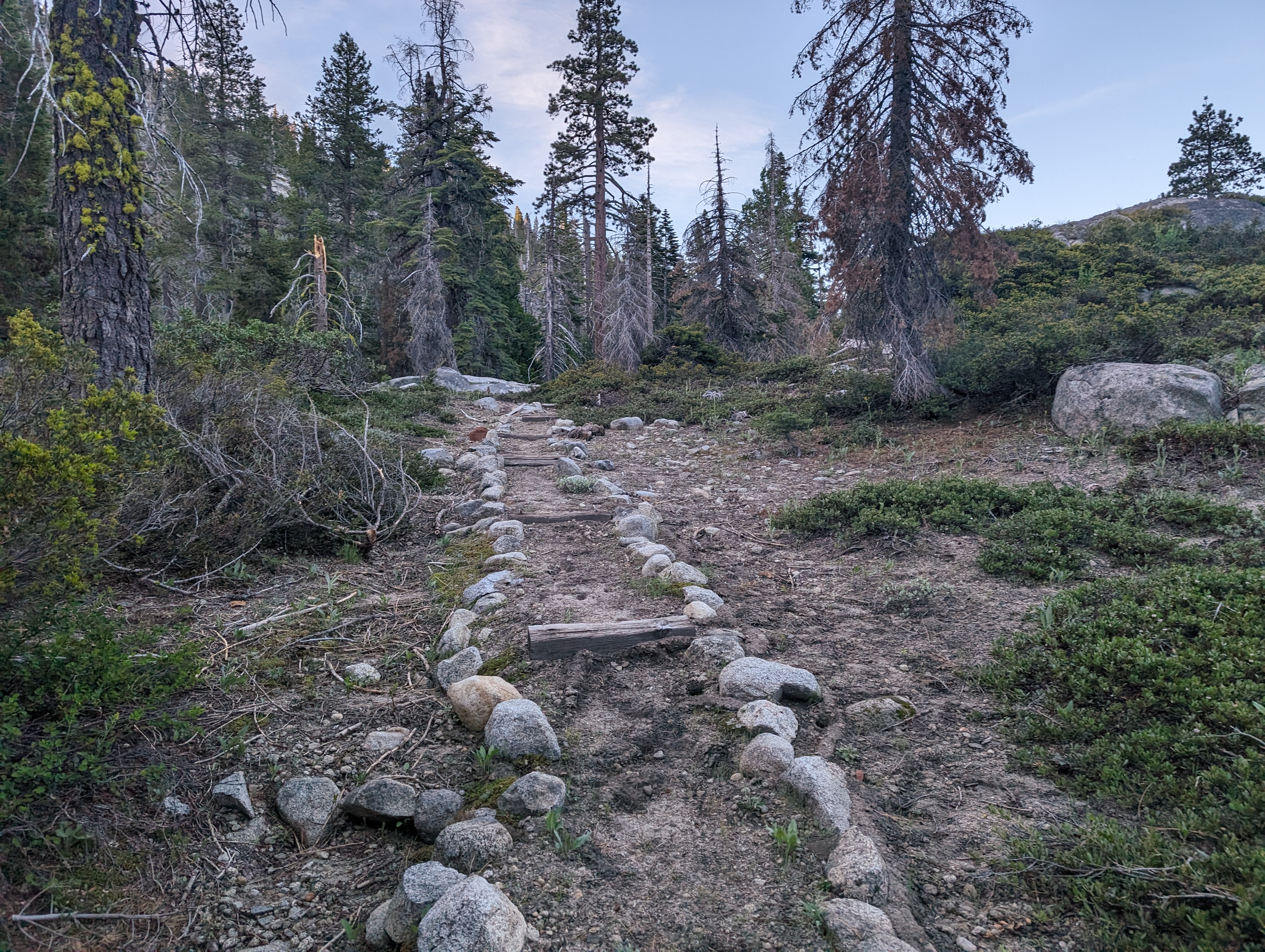
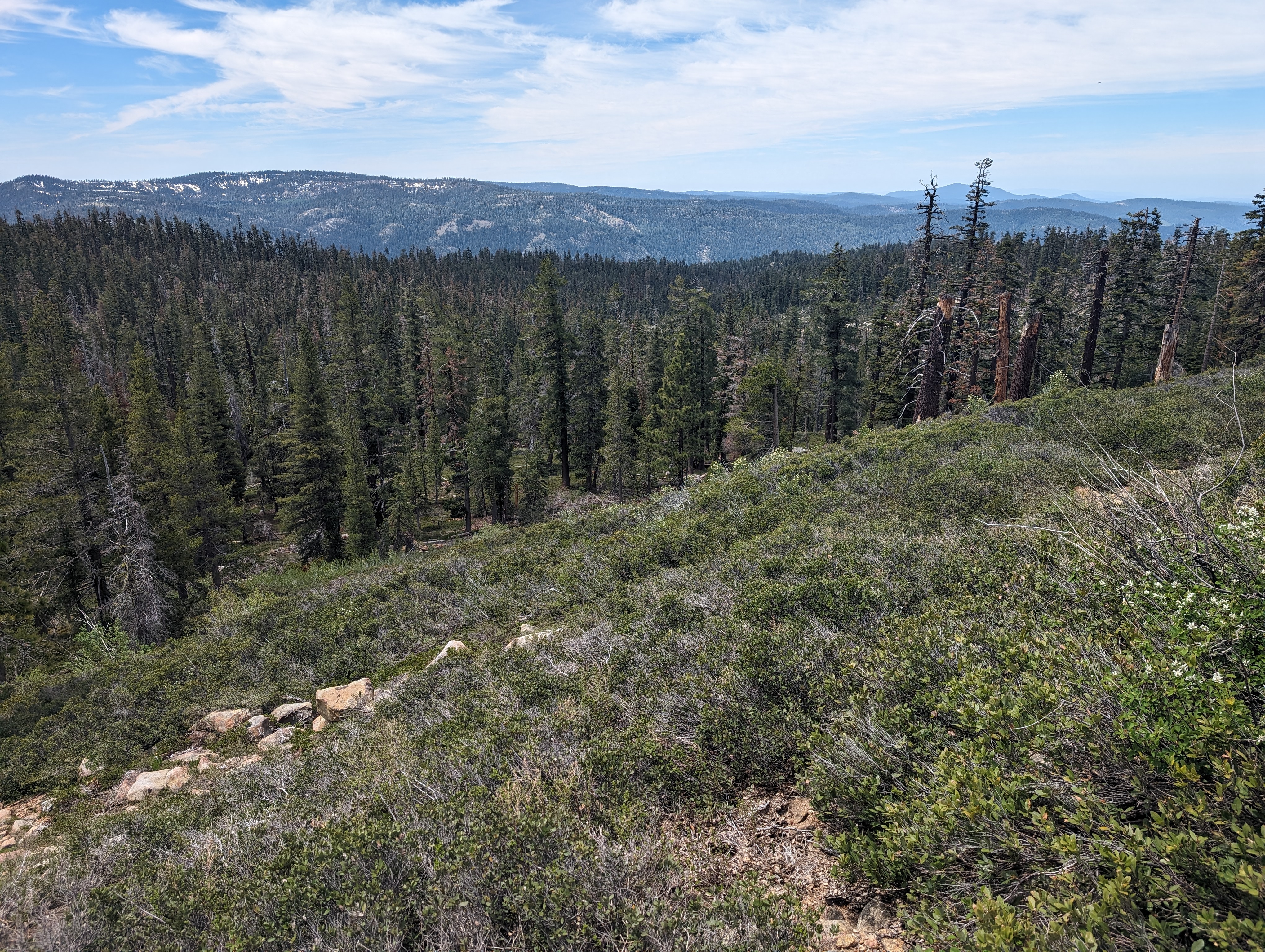
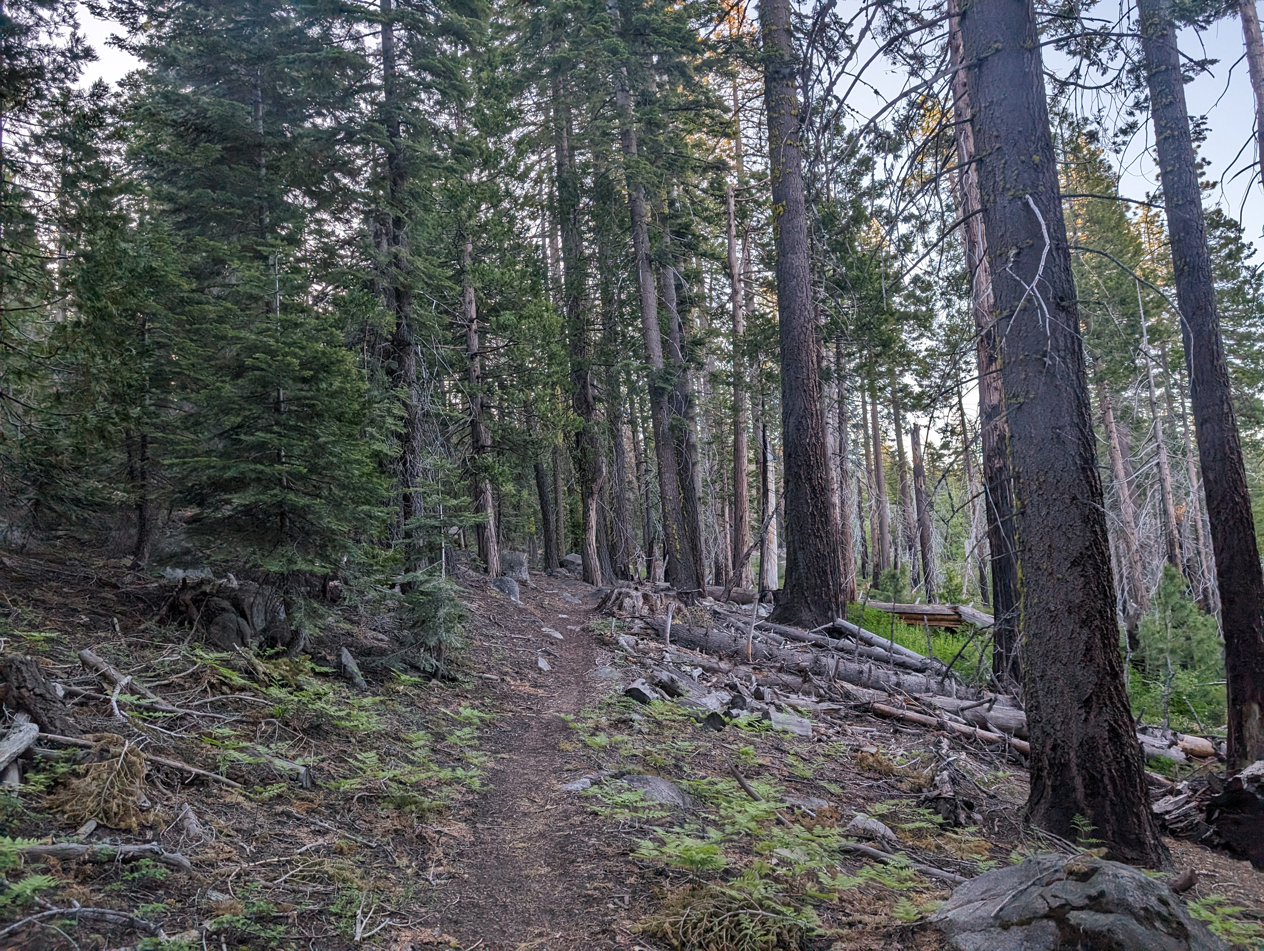 Getting started up the trail
I quickly saddled up and was on the trail by around 6:15 AM. I quickly made it past the broken Mokelumne Wilderness sign, which currently just reads “Wilderness”, and up to the first unnamed lake. I was hoping to use either that lake, or the lake a few miles ahead as a water source, but the marshy nature of that first lake made me decide to pivot to finding a creek. Thankfully the snow wasn’t fully melted out, even below 7k feet, so that wouldn’t be an issue. Past the first lake, the trail levels out, before beginning downhill into Tanglefoot Canyon. The trail thus far had been pretty well maintained, though there are a surprising number of small metal stakes sticking out of the ground that could lead to some nasty leg injuries if you aren’t paying attention. Clearly some major effort was put into this trail decades ago, but not a whole lot in recent years (this would become even more apparent in a few miles).
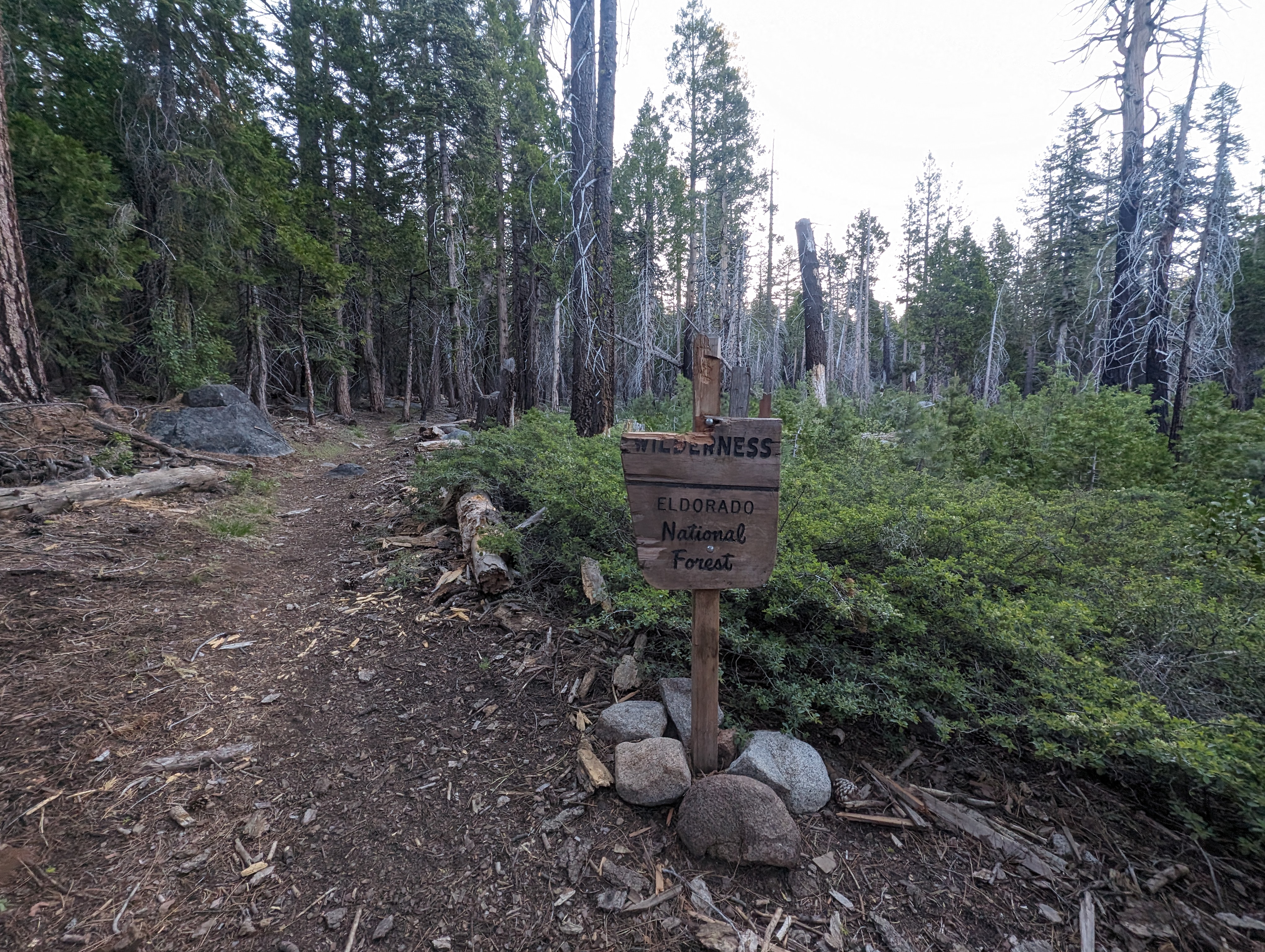 The broken wilderness sign. Thankfully I knew where I was
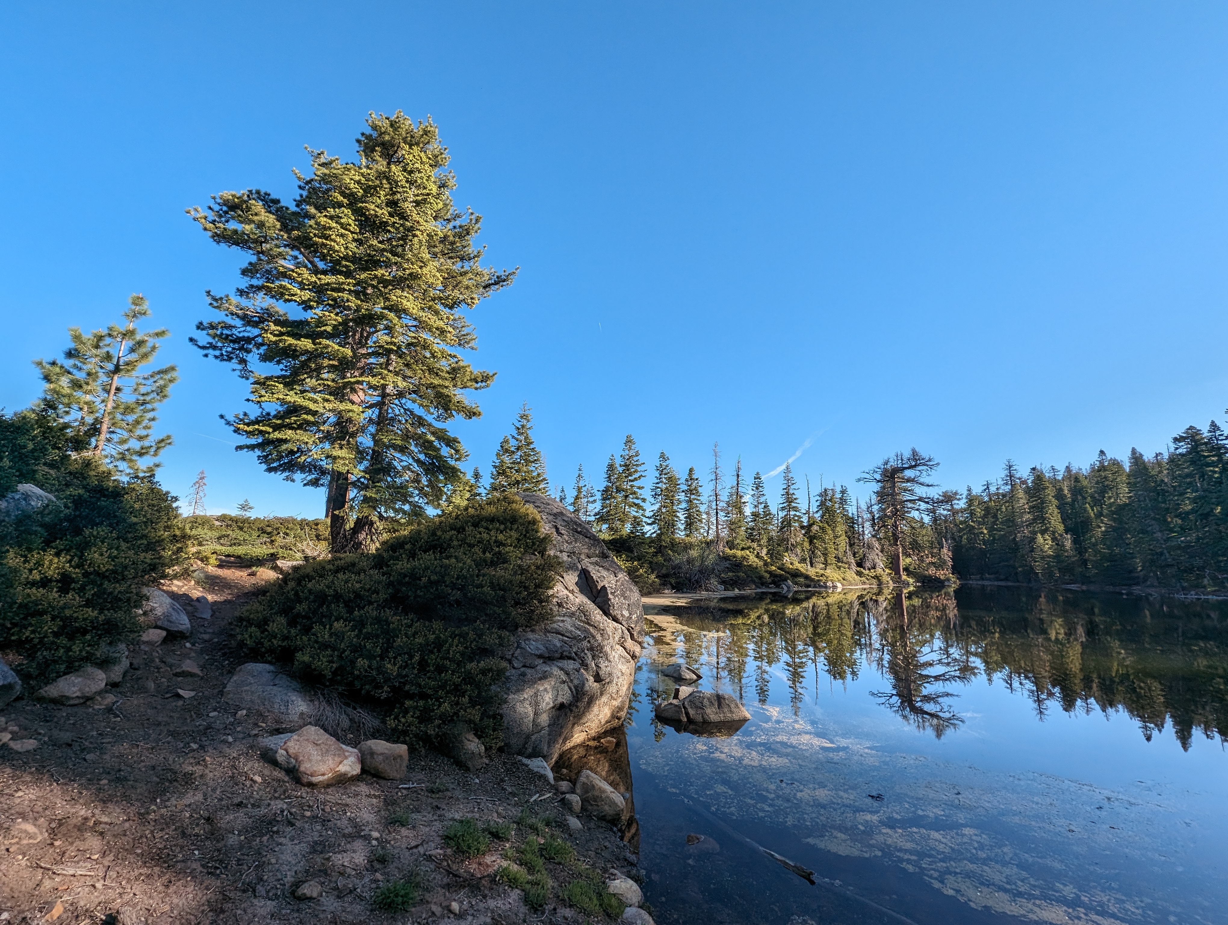
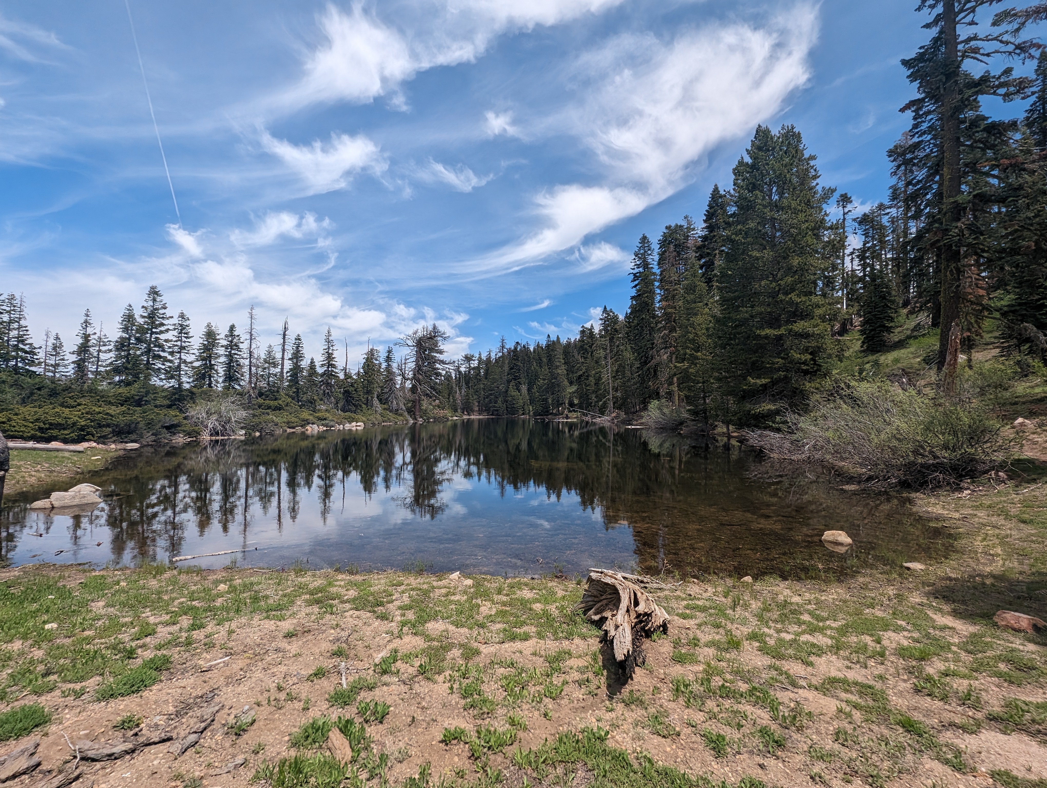
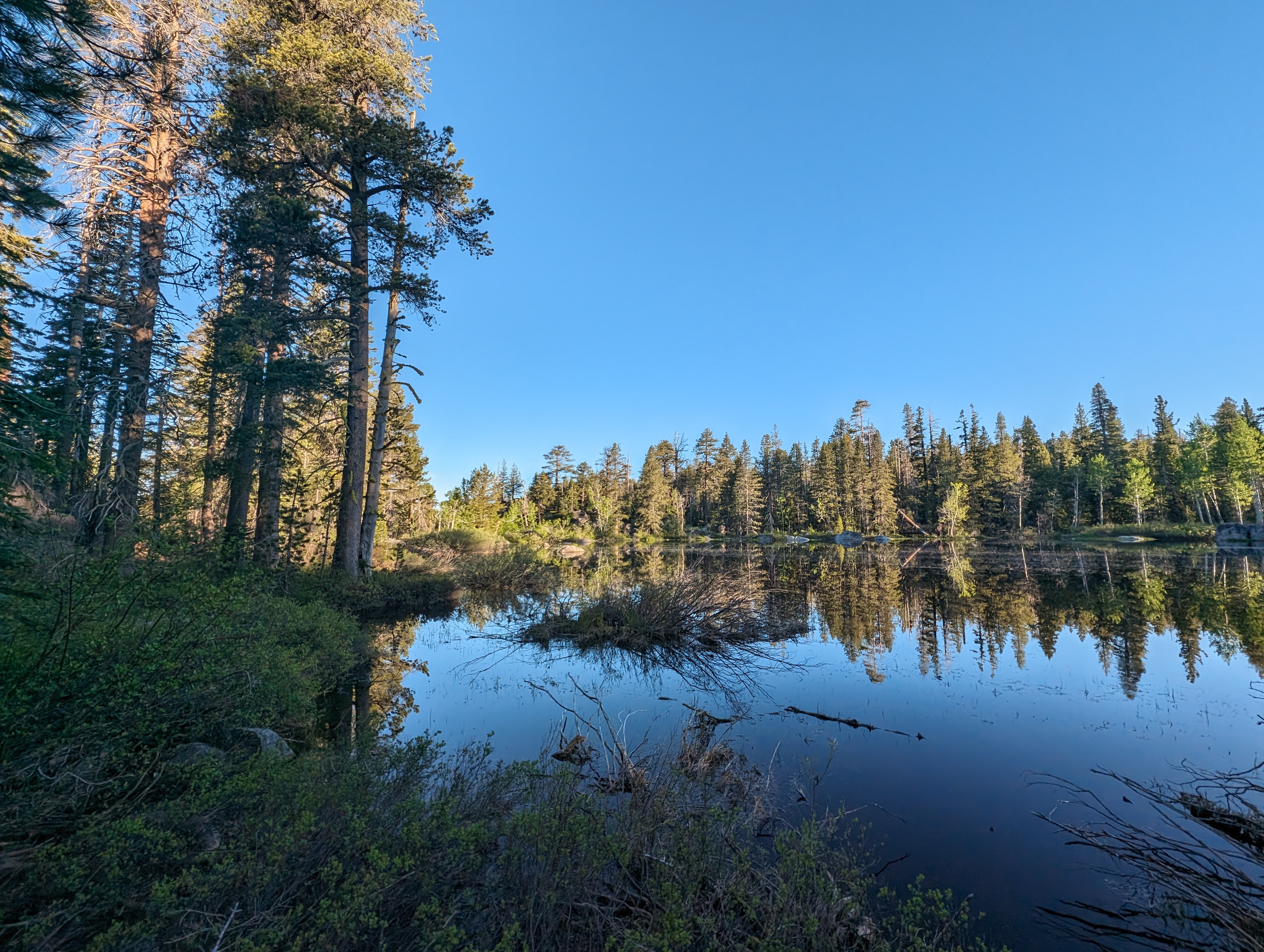 A calm morning at the first lake
I made good time down the canyon, taking some care down the rocky switchbacks not to roll an ankle this early into the day. Once I got to the bottom, I was happy to see the creek was still quite healthy, and that there was a nice log crossing to get across. From there, the trail meandered through the bottom of the valley a short distance, passing a few Black oaks, which are a rare sight on my peakbagging endeavors. As expected though, the switchbacks started up again shortly, and I switched my mind back into uphill mode. The trail was clearly graded and built with stock in mind, so the 1000’ or so climb up out of the canyon wasn’t too bad.
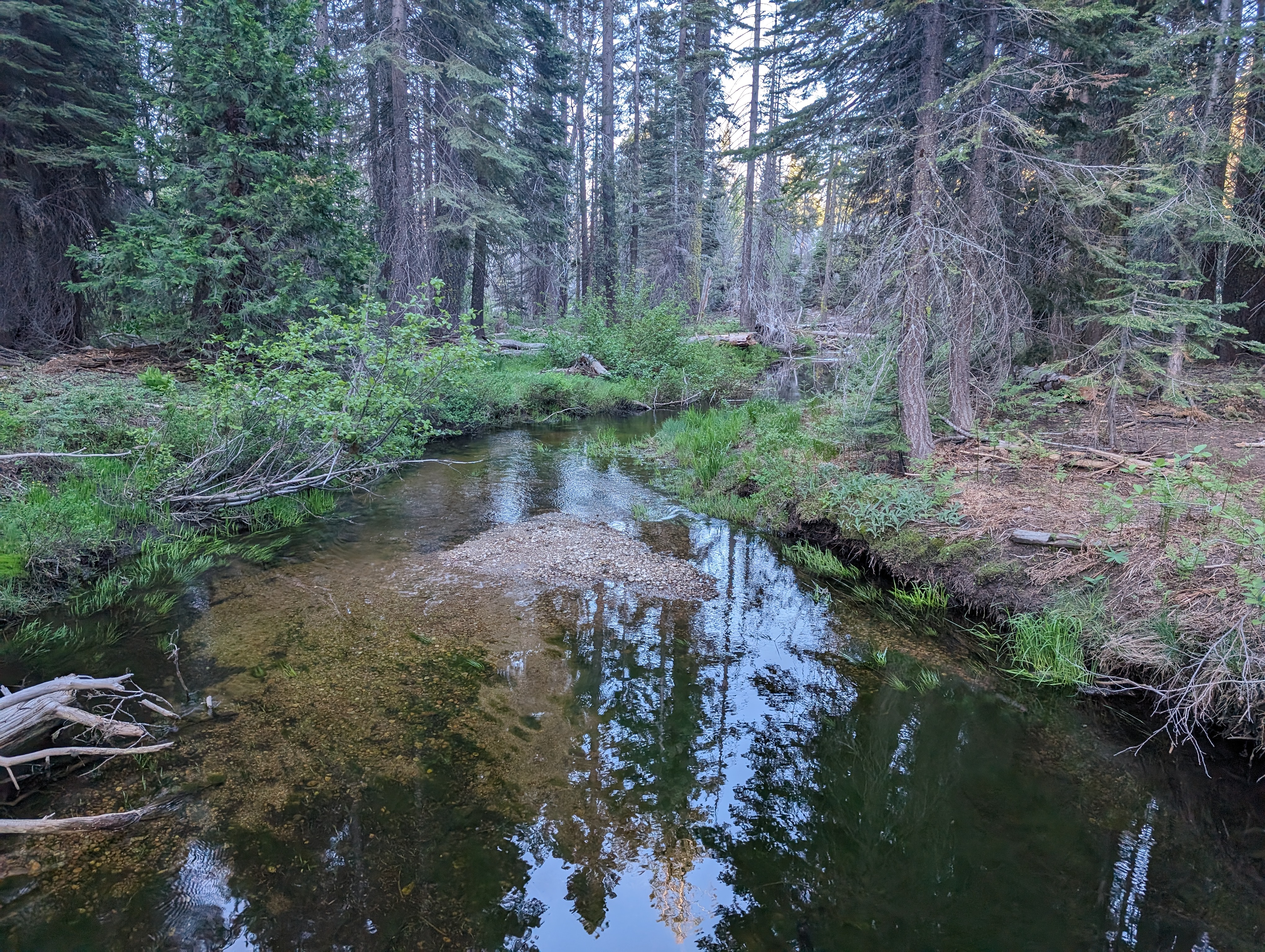 Crossing the creek
 A brief moment of nicely maintained trail
Once at the top, I came across another lake that I had also held out hope of being able to fill up water at. It was less marshy than the previous one, but still seemed like a filter clogger, so I decided I’d see about the small creek I saw about a quarter mile up the trail. If it was dry, I could double back without too much effort. Above the lake, some downed trees made the trail a bit difficult to find. I made good time to the creek, finding what I thought at the time was a use trail leading to it. I filled up, and took a few minutes to apply sunscreen as I was starting to be in the sun. I then got back on the trail, and did a nice loop through the woods as it turned out the “use trail” to the creek was actually just “the trail”. There was a good amount of downed trees beyond the creek, making the trail a bit difficult to keep track of. To make things more difficult, the trail doesn’t quite match up with where it is on the 2016 USFS topo maps. After another half mile or so though, the terrain starts to open up into more of a subalpine forest, and the navigation gets easier.
 The second unnamed lake
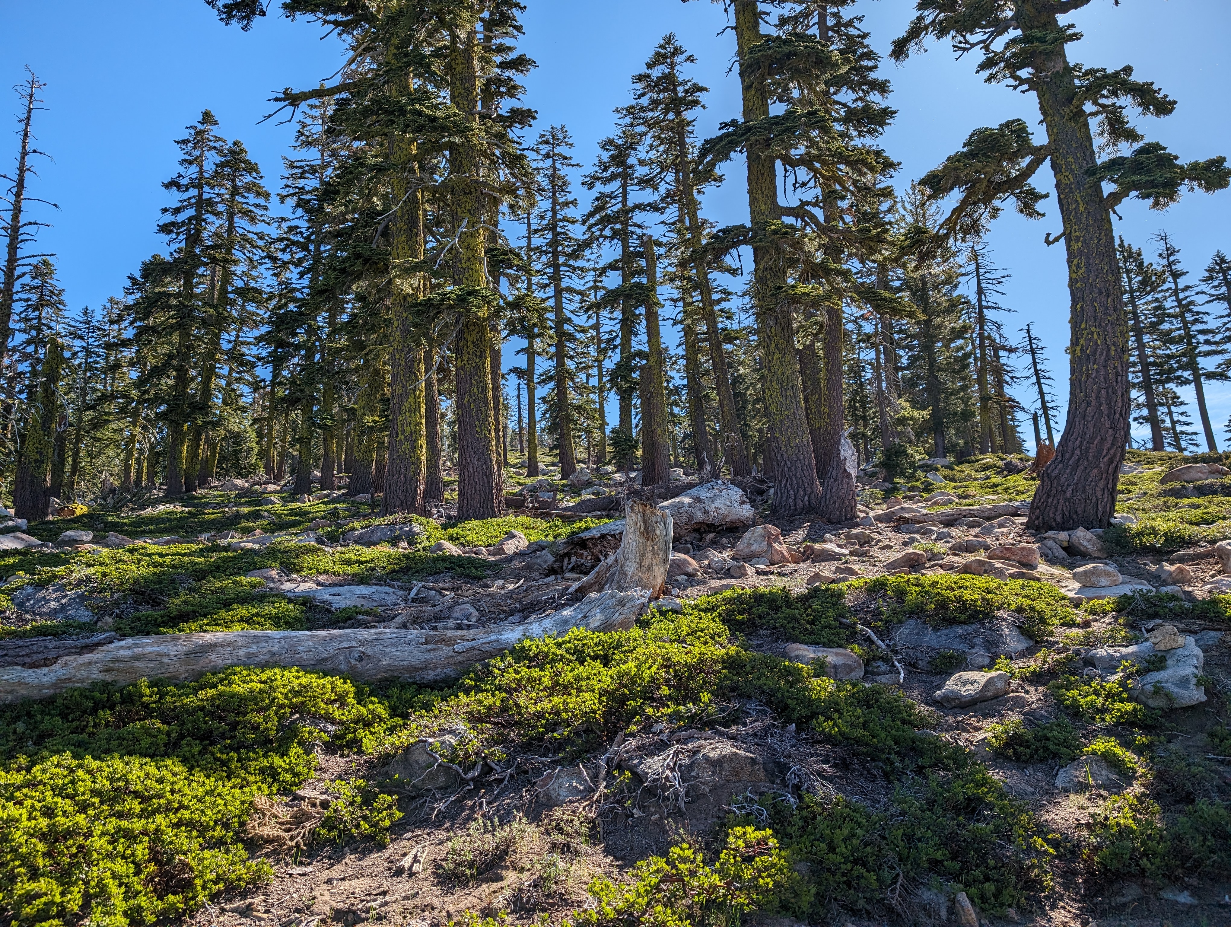 More open terrain above 8k feet
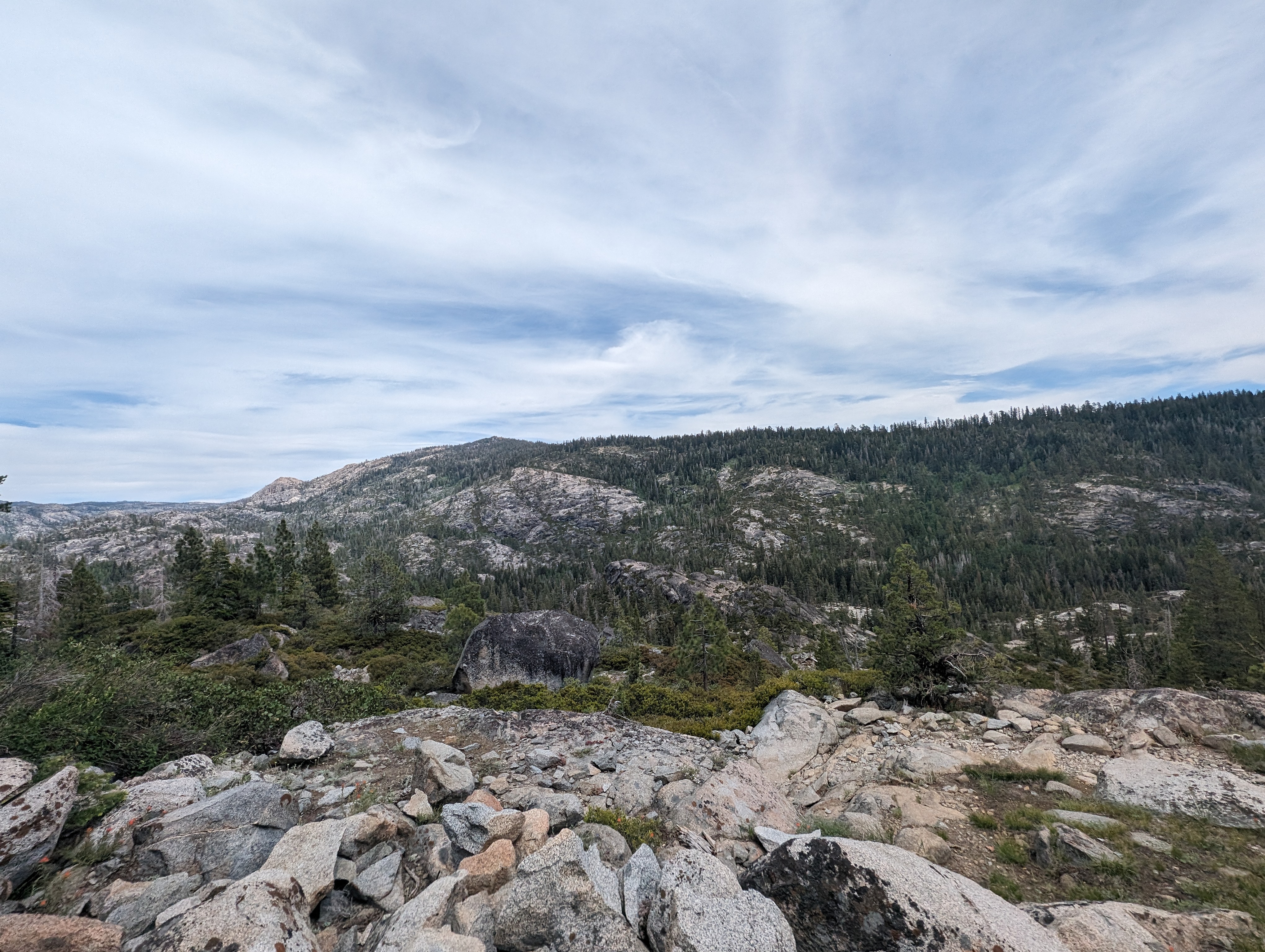
From here, snow patches got more and more frequent, and the navigation was fairly easy. I could see the ridge up Mokelumne Peak, and knew I’d just need to continue a bit further to get to where I needed to cut off trail. I made it a bit shy of where I had mapped out my cut off point, and decided that the band of rock I saw ahead looked better than what might be a bushwhack if I continued. This ended up paying off, as the route I found was quite pleasant for being off trail. I followed a combination of rocks, and rocky soil up and along the south side of point 8628. This eventually led me to the ridge that connects that point to Mokelumne Peak. From atop the ridge, I got a great view of Pyramid Peak, as well as another handful of Desolation Wilderness peaks from a unique vantage. The ridge top was still covered in snow, but the snow was pretty firm and walkable at this hour.
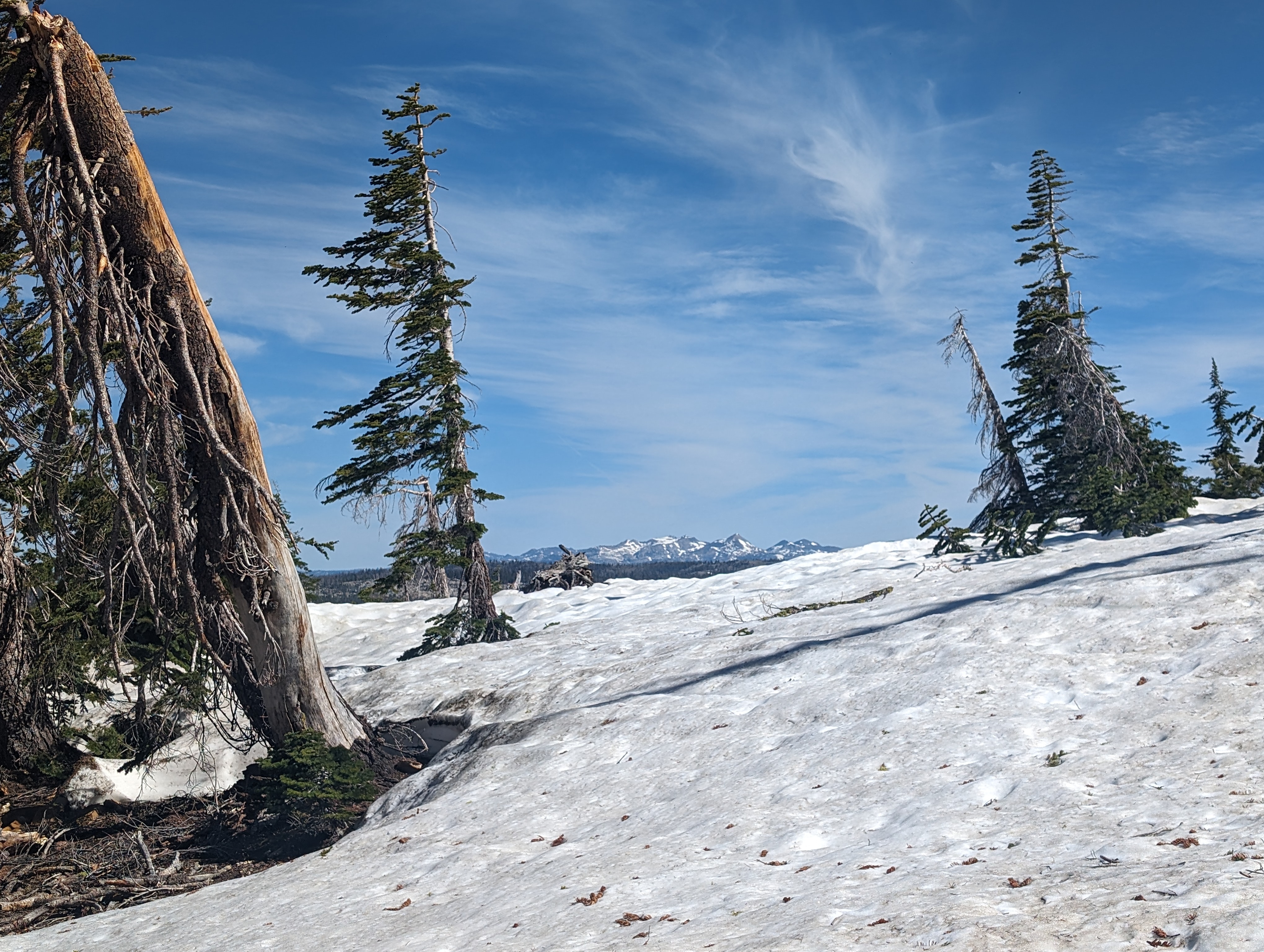 A nice view of the Crystal Range in the distance
I made good time along the ridge along the snow, arriving at the end of the snowfield sooner than I had expected. After a shirt walk along the top of the still corniced north ridge, I arrived at the base of the talus field leading to the summit. A short rock hop later, and I was at a false summit just a hundred feet or so from the summit. I made it to the summit at 10:13AM. The view from the top was one of the better ones I’ve seen in the Tahoe area. I think the further west than normal placement, combined with moderate prominence sets this peak up for a fantastic vantage point. I looked around, and counted at least 20 other peaks I could name, most of which I have also climbed. I signed the summit register, which was a pretty well built 4" PVC canister that looked to be recently put there. The rock shelter on the proper summit was absolutely littered with rodent droppings, so I decided to eat my lunch on a flat rock a few feet to the north. I spent a leisurely 30 minutes or so up there soaking in the views, and savoring my roast beef sandwich.
 Nearing the final talus push to the top
 Summit Panorama
 The view to the east. Da-Ek Dow Go-Et Peak is a bit right of center
I set back off down around 10:45, making note of the ridge I had taken up. There is another ridge slightly south of the one I had taken up that looks almost identical. That wouldn’t be a deadly mistake, but would likely add a decent bushwhack getting back to the trail if I were to have taken it. Once at the snow, I opted to stick slightly lower where there was still a small amount of shade and the snow was a bit firmer. I made good time along the ridge, but then ended up slightly to the south of my ascent path down closer to the trail, and had to deal with a 10-15 minute bushwhack to get back to the trail. Once back on trail, I stopped again to filter some more water, and reapply my sunscreen.
 Nice wildflowers on the way down
 No adventure is complete without some bushwhacking
Once back on trail, it was pretty easy going for the most part back to the second lake. I got off track a few times before the creek crossing due to downed trees, but didn’t have too much difficulty, especially having a reference from coming up that morning. I made it back to the lake pretty quickly, and then made my way down the switchbacks into the canyon. The switchbacks took longer than expected, as they tend to for me on return trips. I always seem to blank out more of the morning than the afternoon. I stopped at the creek to once again filter some water, dunk my sun hoodie, and finish what remained of my food. The climb back up out of the canyon wasn’t terrible, but also wasn’t something I was entirely keen on doing after such a long day. Regardless, I made good time, and was back at the first lake before too long. I ran into the only other person I saw that day there, an older gentleman who was heading to some lake (not sure which one he was talking about), and had no idea what Mokelumne Peak was. Like most places, there’s something for everyone out there.
 A better shot of the second lake. It almost looked clean enough for a swim
 Looking back across Tanglefoot Canyon. I wasn’t looking forward to going back up
The rest of the trip down was pretty easy and uneventful. the afternoon had warmed up a bit, but thankfully not too badly. Wetting my sun hoodie had gotten me through the uphill section in the sun, and it was all easy going from there. I successfully avoided the shin destroyer metal stakes, and was back at the truck around 2:45PM.
Route
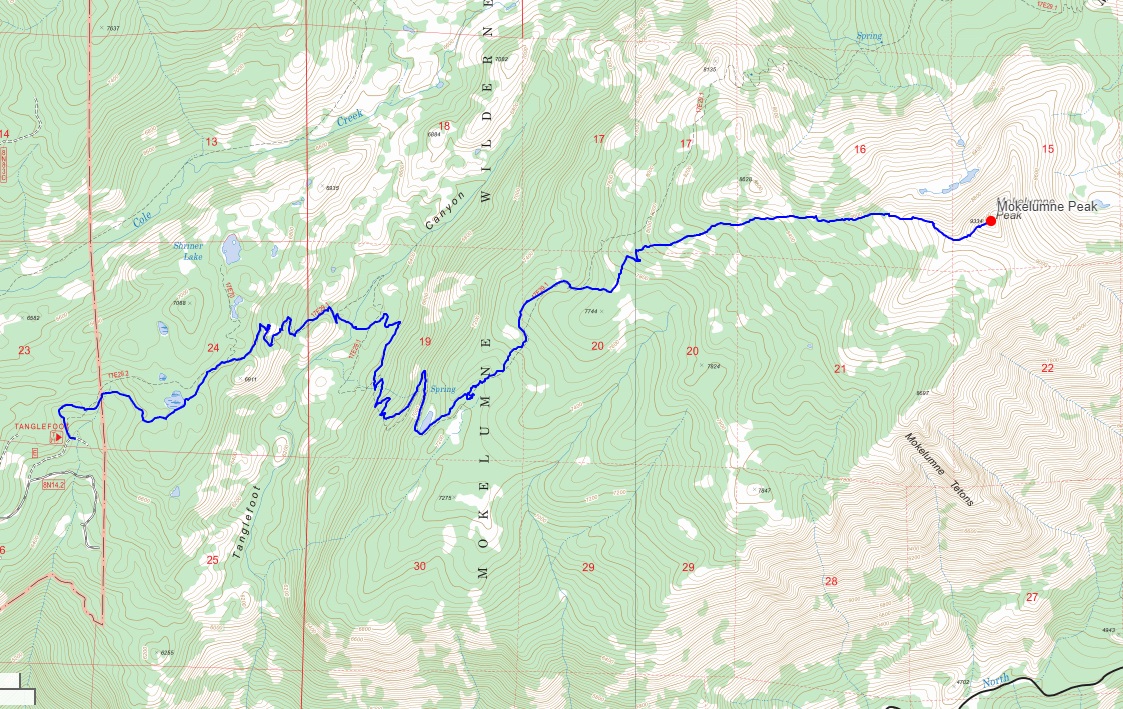 My route
GPX Track Download
My route
GPX Track Download