June 16th, 2024
My dad and I had attempted South Sister the previous Father’s Day weekend. We ended up turning around at around 9k feet due to gale force winds, the kind of wind that literally can blow you off your feet. It was pretty unpleasant, but it made us both want to get back and bag the peak. Things lined up well for another Father’s Day trip, so we camped out Saturday night, and started early Saturday morning up one of the many rocky forest service roads that heads west from the Sweetwater Summit.
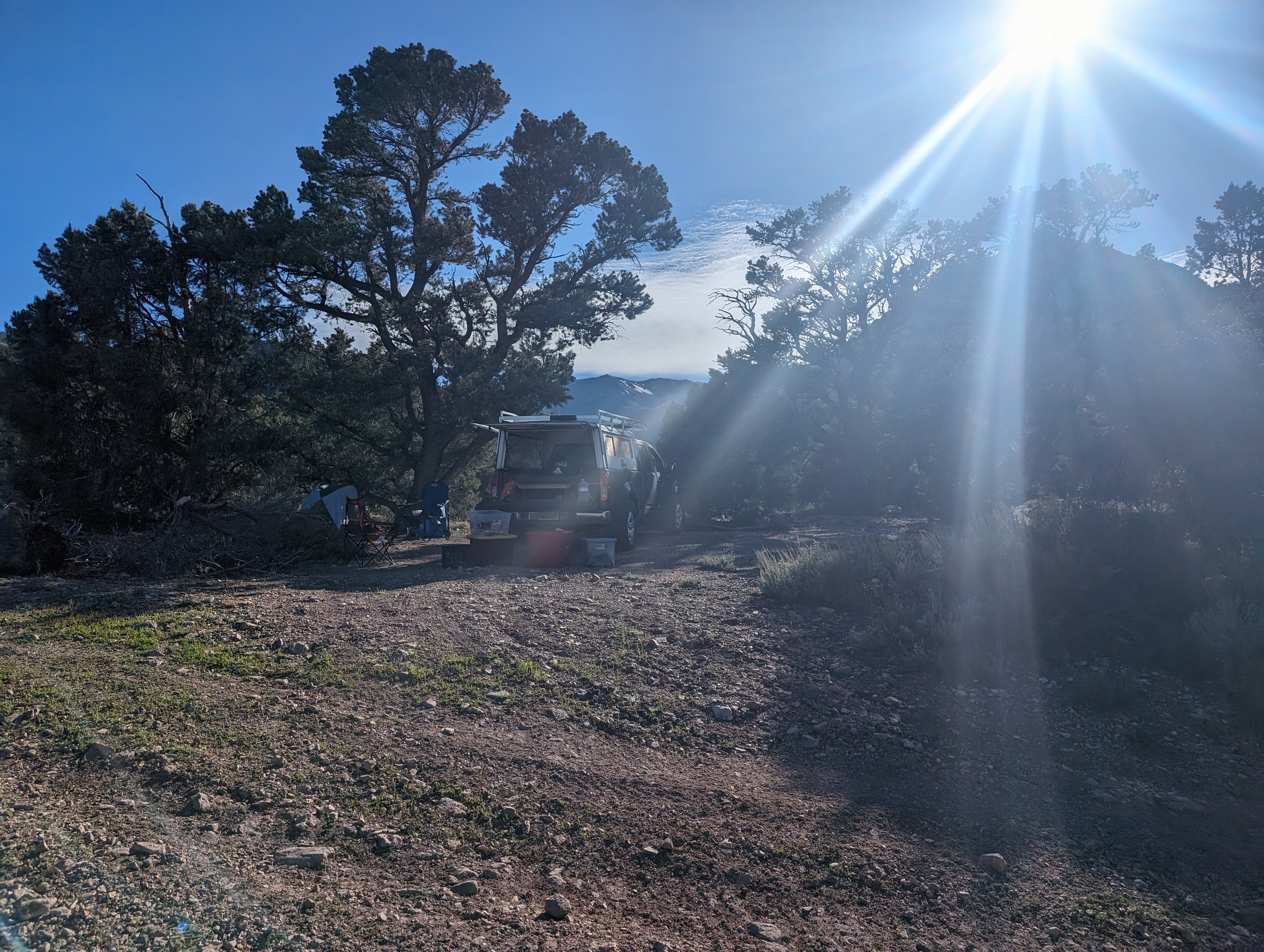 Our campsite
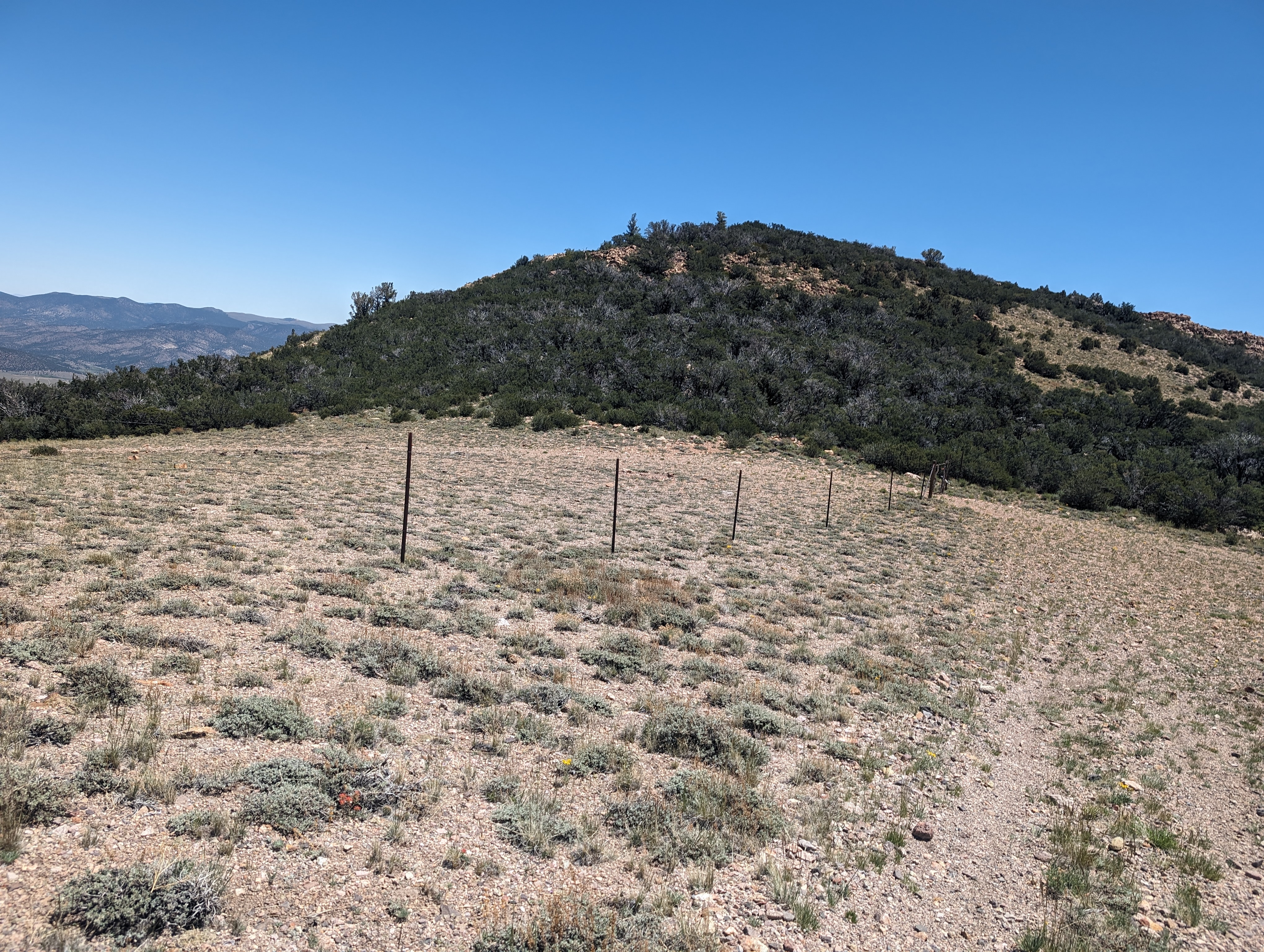
We parked at the same spot that we had parked at the year before, an unassuming opening in the brush at about 8k feet. We loaded up with water and lunch, and set off up the dirt road as the sun was starting to rise in earnest. The road is fairly pleasant to walk on, although at times it can be a bit like walking ball bearings. We made good time up to the flat saddle at about 8900'.
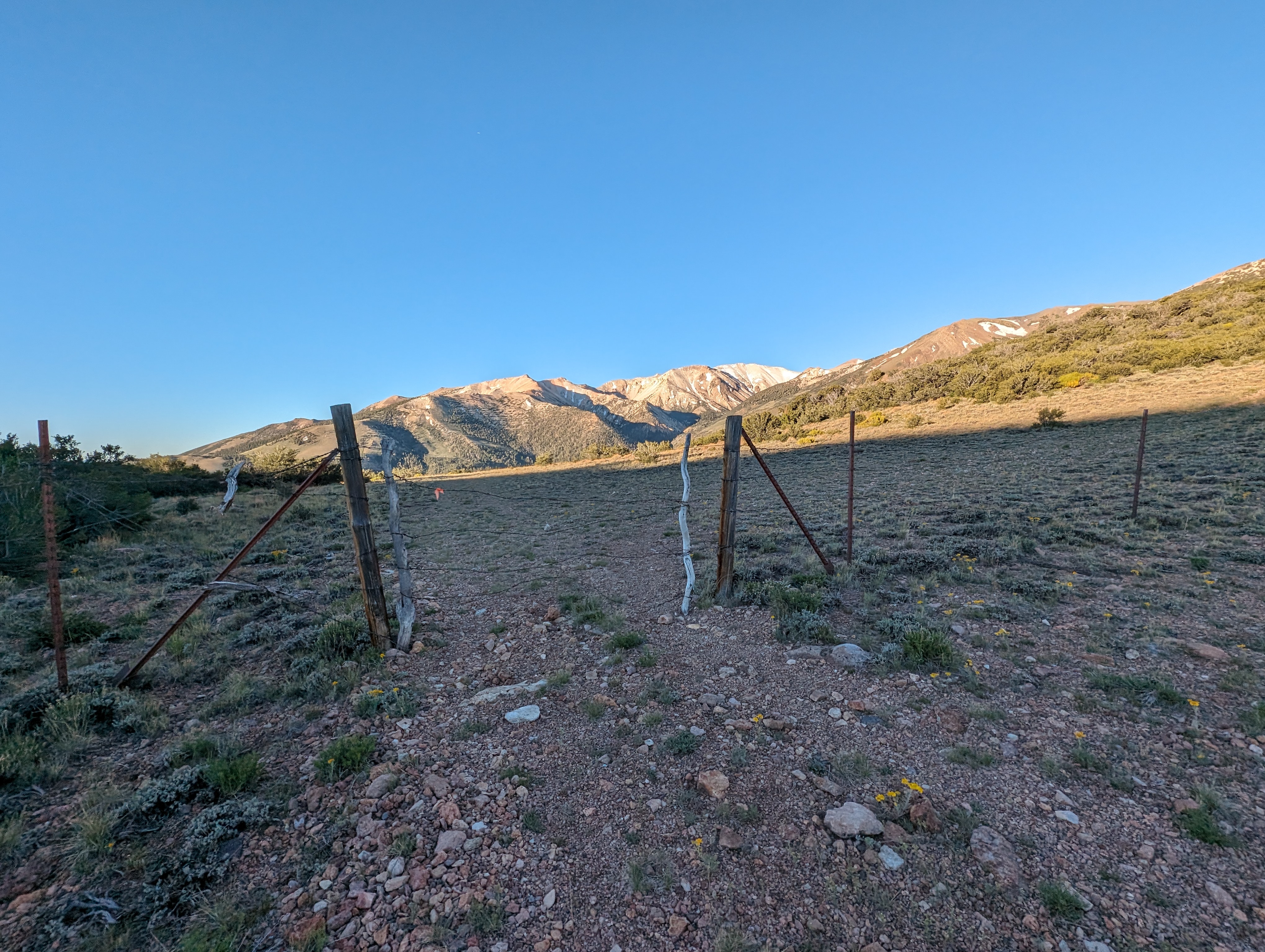 A rustic gate at the saddle, Mount Patterson in the background
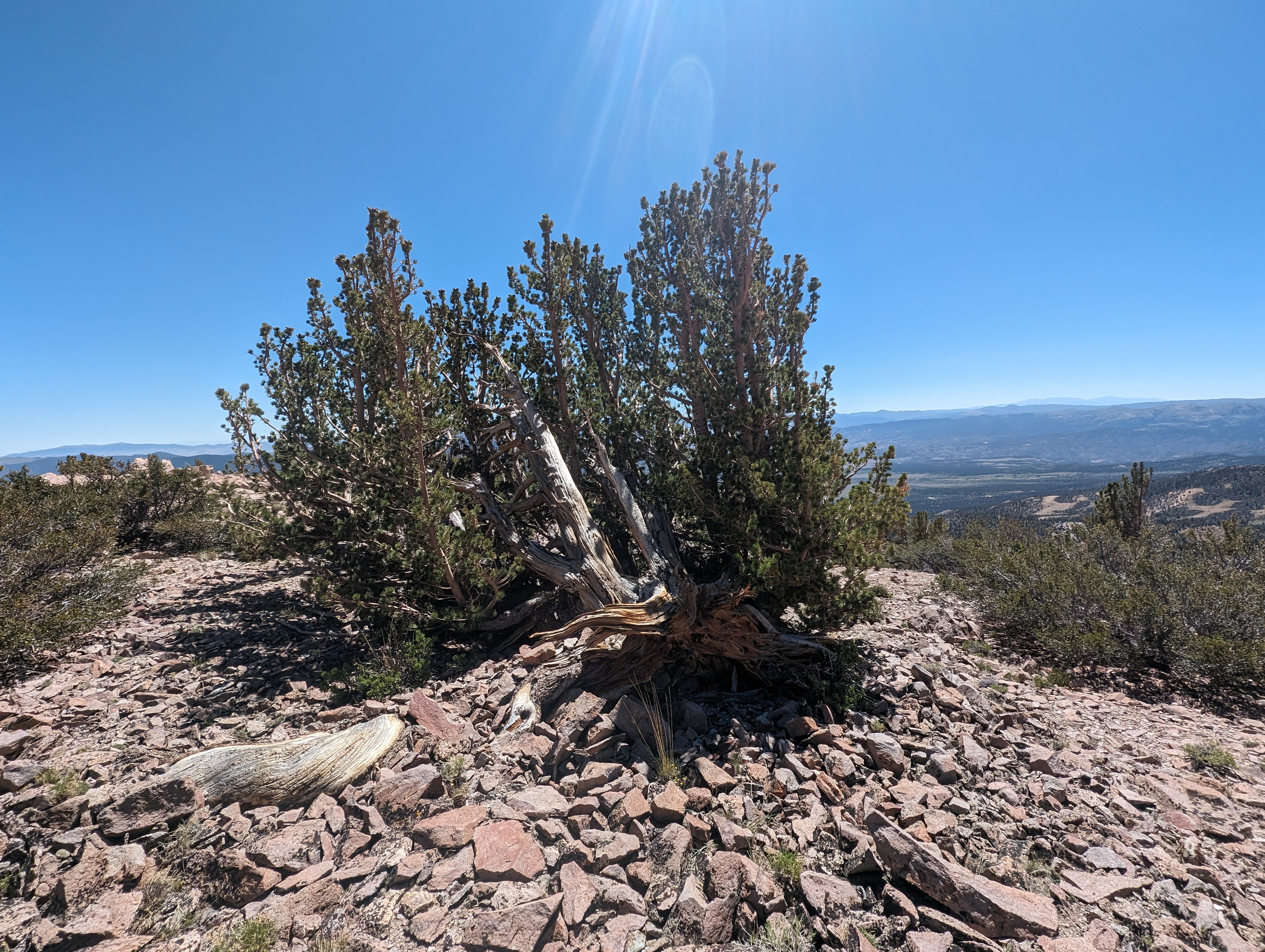
From there, the route heads in a more northerly direction, towards the peak. The road slims down to a single track, and a steep one at that. After a bit, it flattened out a bit, and the mahogany gave way to a decent sized stand of Bristlecone Pines. The trail cuts a bit back to the east through the trees, before topping out on top on a ridge that leads to the summit. It looked like people have probably taken dirt bikes up this trail, further evidenced by a plastic grille I found on the trail with the name “KTM” on it.
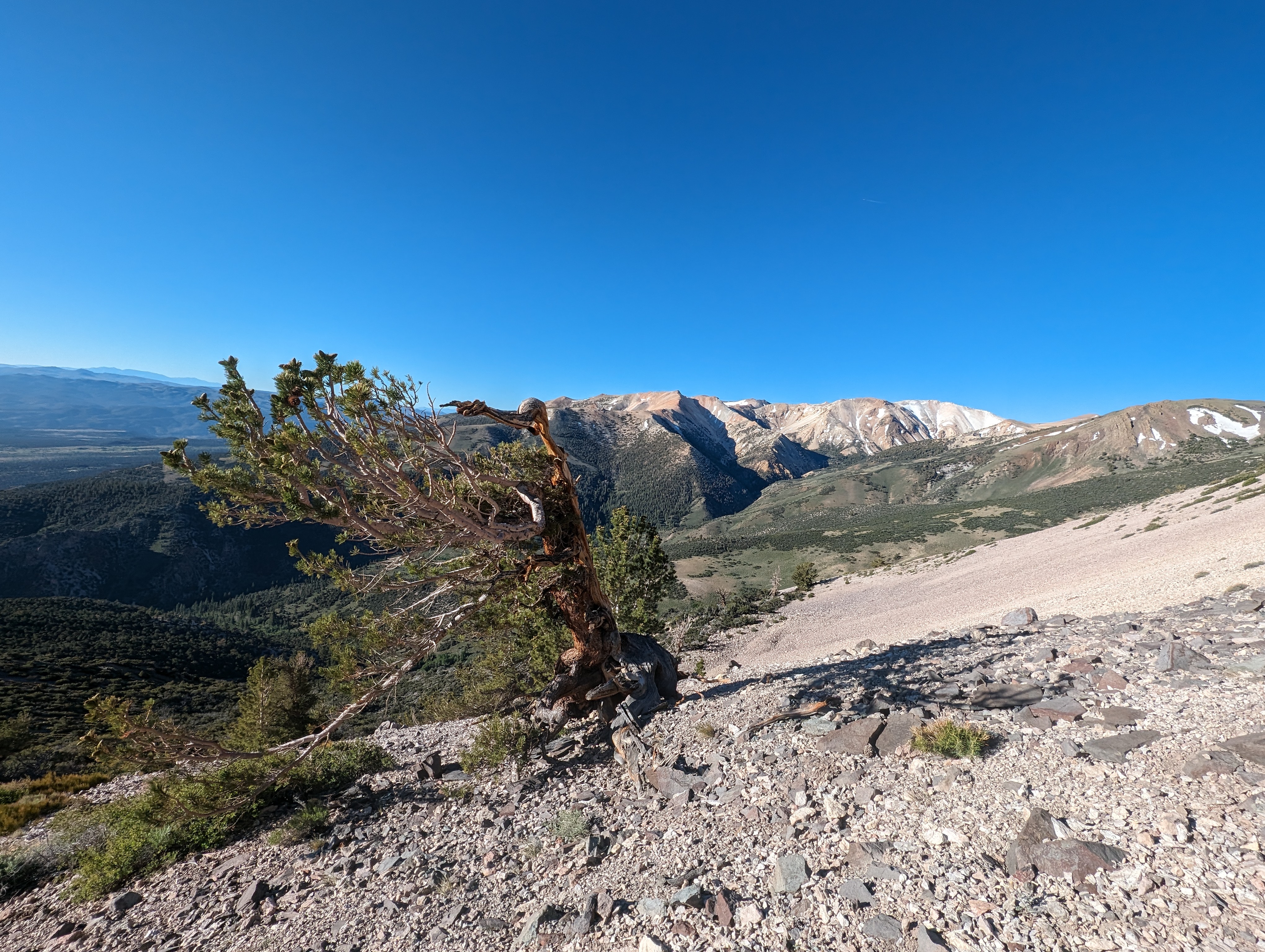 A Bristlecone Pine, Patterson again in the background
 The trail through the trees
Once atop the ridge, the route becomes pretty obvious, although the proper summit of South Sister can’t yet be seen. One could drop down and then back up the steep slopes more to the west, but it makes the most sense to follow the curve of the ridge as its pretty gentle, and fairly direct. We lost the trail for a bit, but quickly picked it back up soon. There were deer droppings all along the trail, which makes me think it may be somewhat of a game migration route.
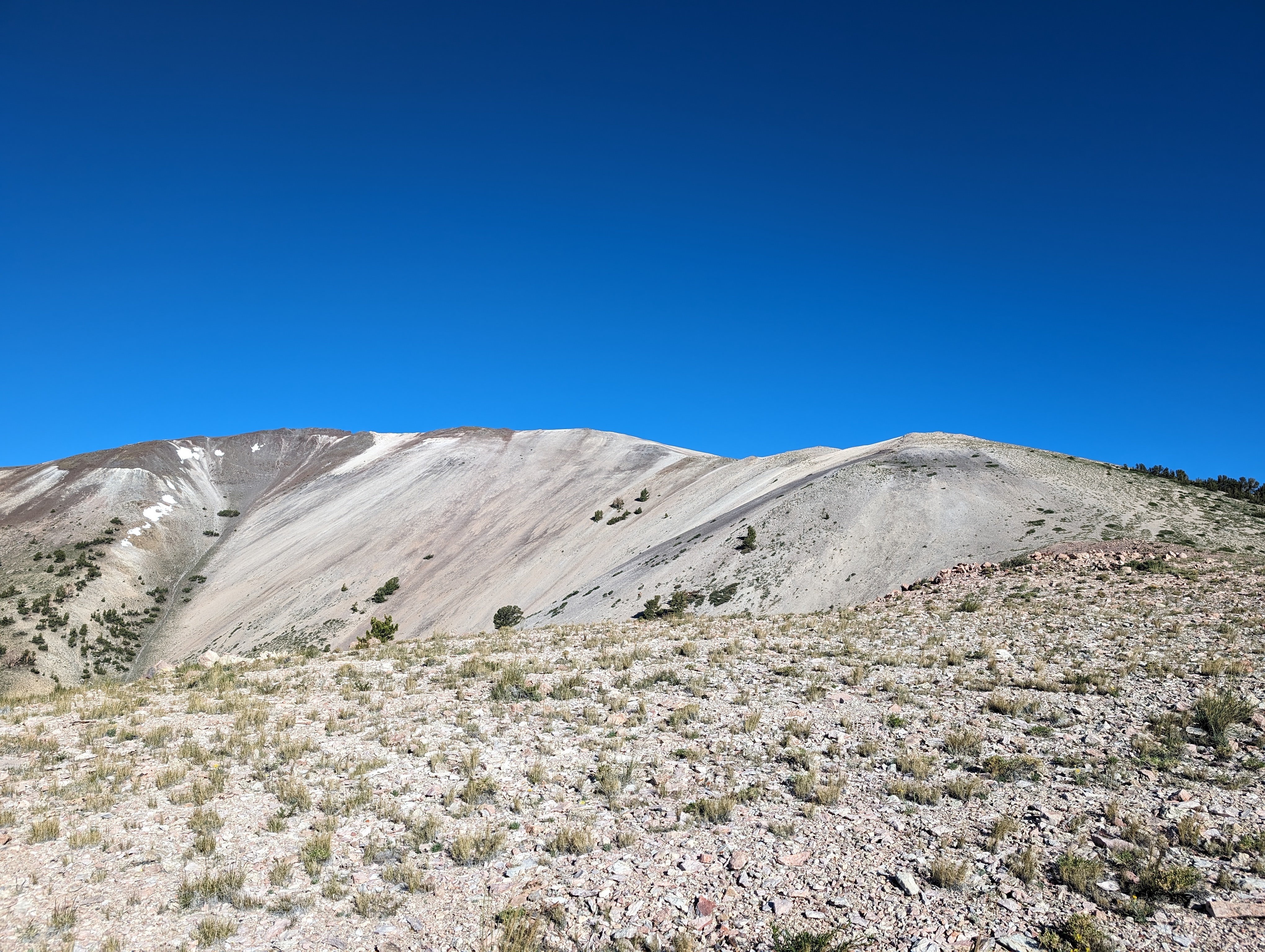 Looking up the ridge
 Interesting color patterns in the rock
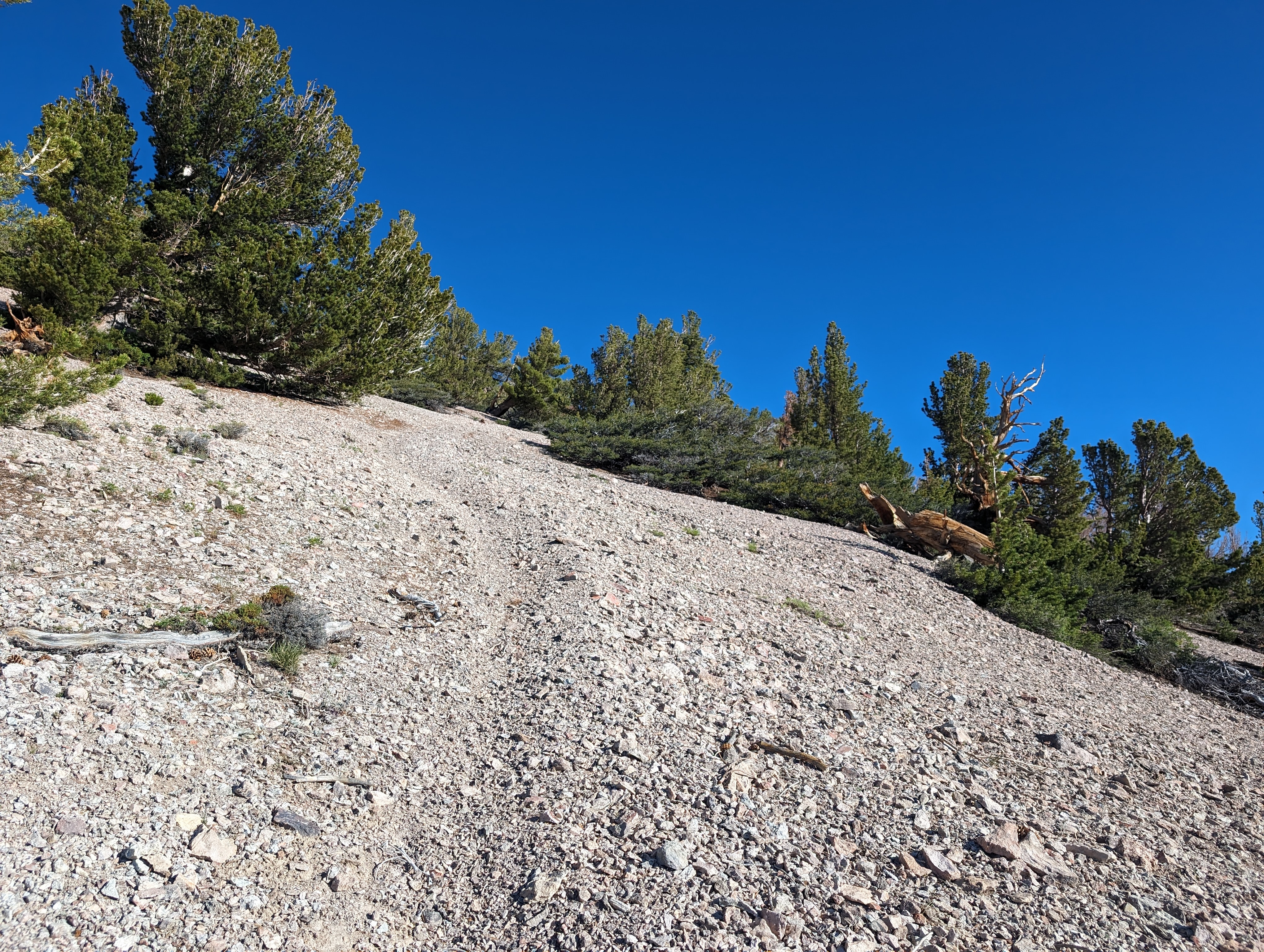
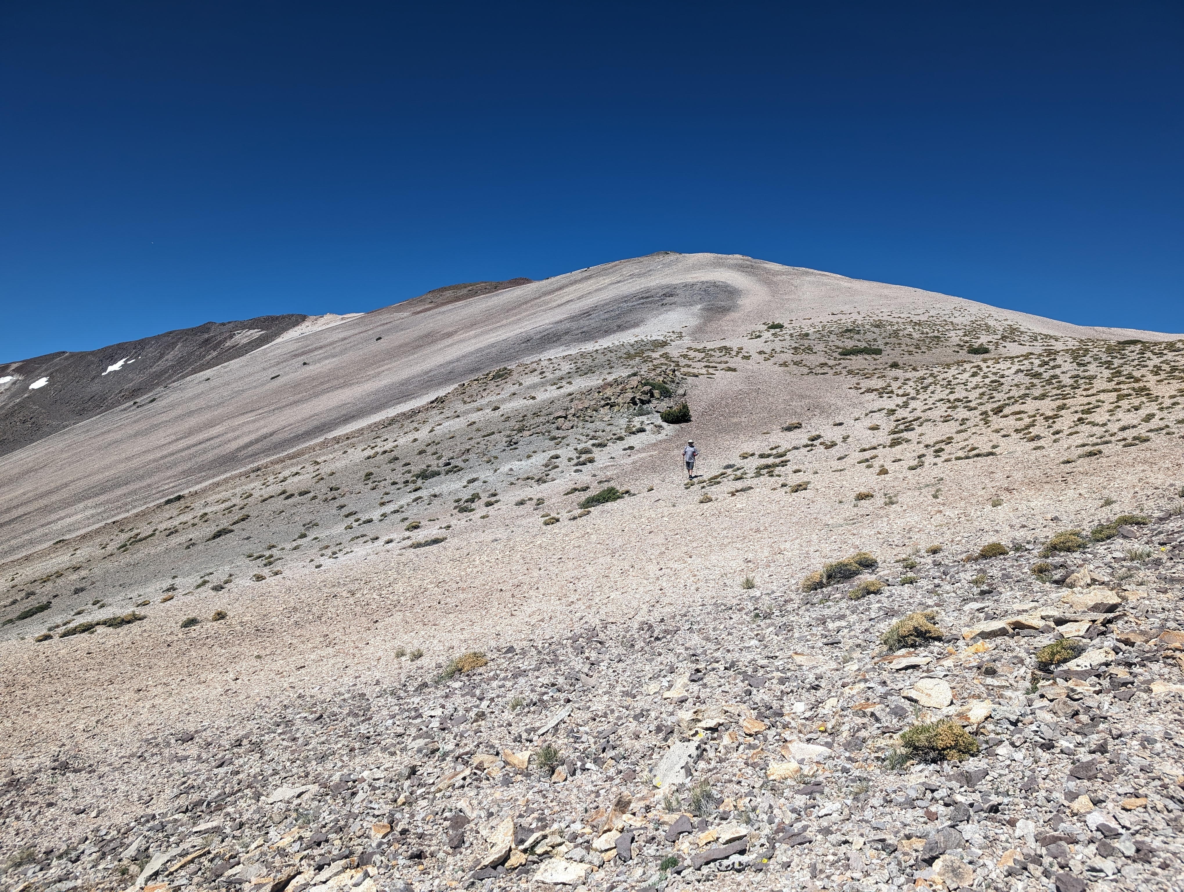
The route up the ridge was fairly easy to walk up, and dead simple to navigate. The “trail” was faint at times, but typically pretty easy to follow. I did end up doing some zig zagging up the steeper sections to make it easier on my legs, but we made great time to the summit ridge at around 11k feet. From the summit ridge, we weren’t entirely sure how far the proper summit was. It looked like a few bumps ahead of us could be it, but I had a strong feeling it was a bit further after looking at the map. We made out way along the summit ridge, with a bit of up and down before the proper summit came into view.
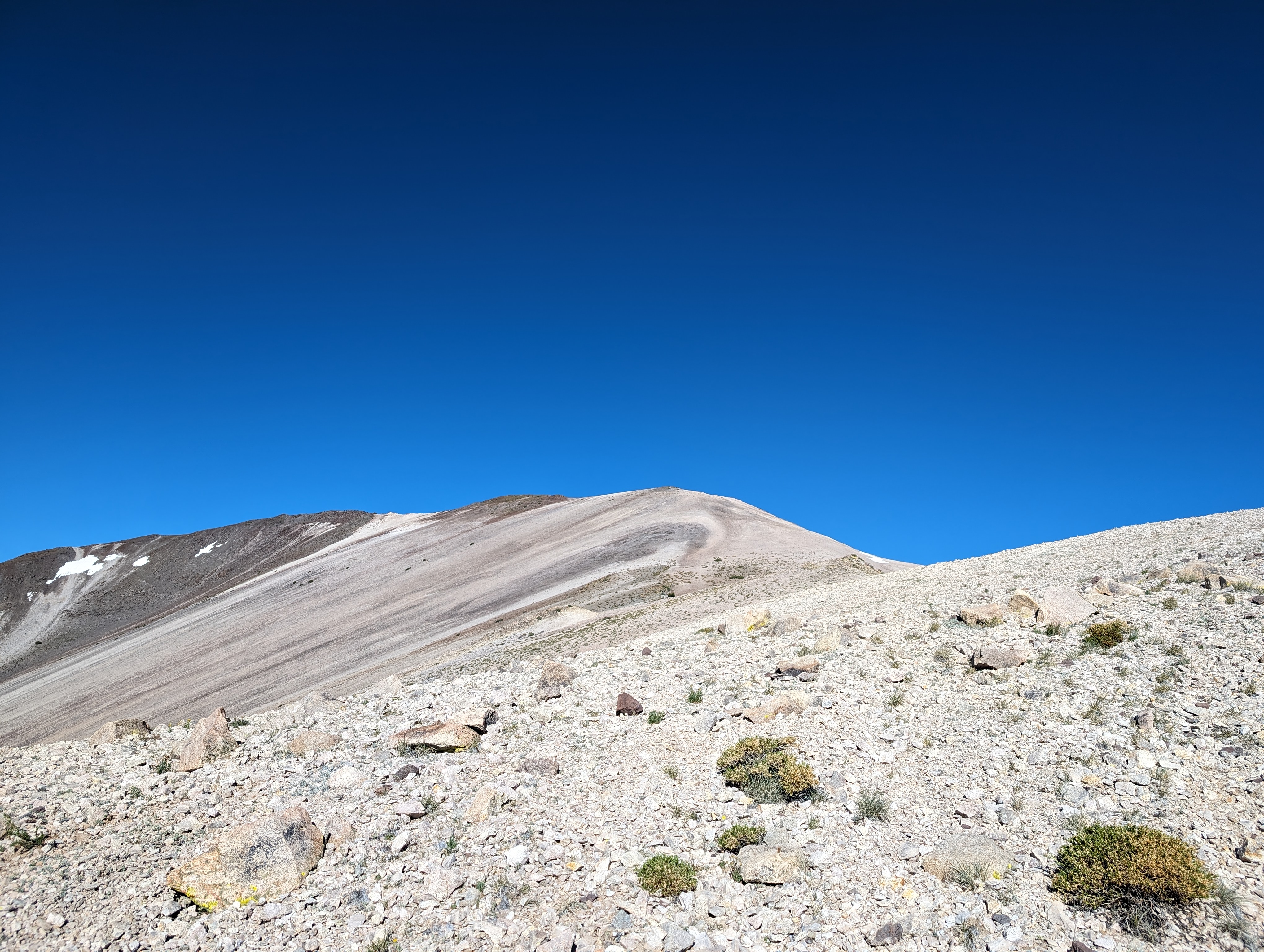
 The summit comes into view
We still had a decent distance to cover, perhaps a little less than a half mile, from this point. The going was relatively easy though, and we were nearing the summit in what felt like a few minutes. After one final false summit faking me out, we crested it and got to the base of the summit block. The rocks here were an interesting almost slate like granite that had broken off into thin sheets. The whole area has some of the more interesting and colorful geology I’ve ever seen in the mountains.
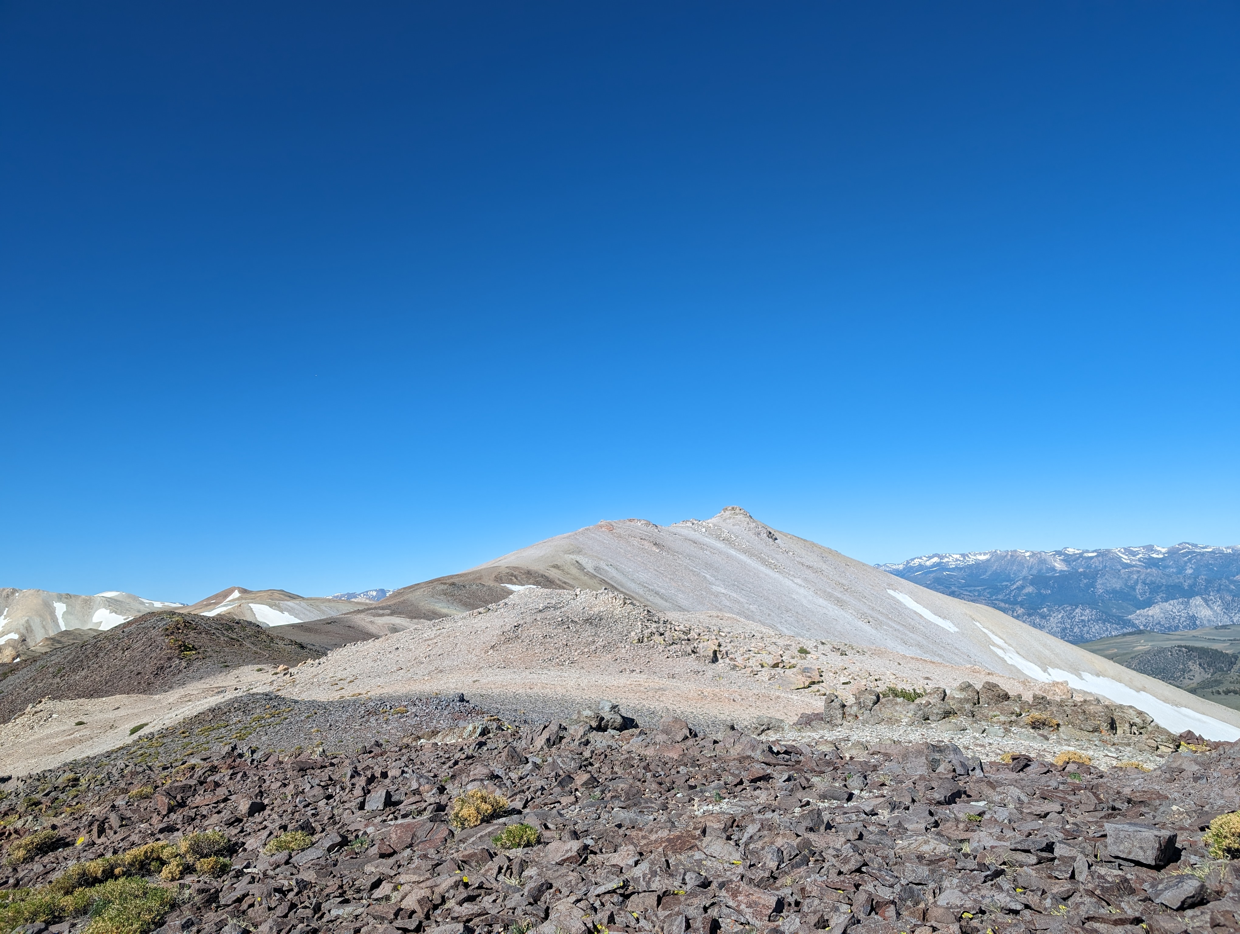
 The summit block
We dropped our packs in the rocks, and made the short scramble up to the summit, where we were met with fantastic views in every direction. A surprising amount of the Tahoe area was visible. I could see the Freel - Job’s Peak massif, Highland and Silver Peaks, Mt Rose, Duane Bliss and Genoa Peaks, Pyramid peak, and the list goes on. We found a recently placed register made of 3" PVC drain pipe; I’ve noticed these PVC registers becoming more common, and I think they seem to make sense. PVC is cheap, light, and pretty durable, so it makes sense to carry up a mountain.
 Summit Panorama
 Lobdell Lake in the distance
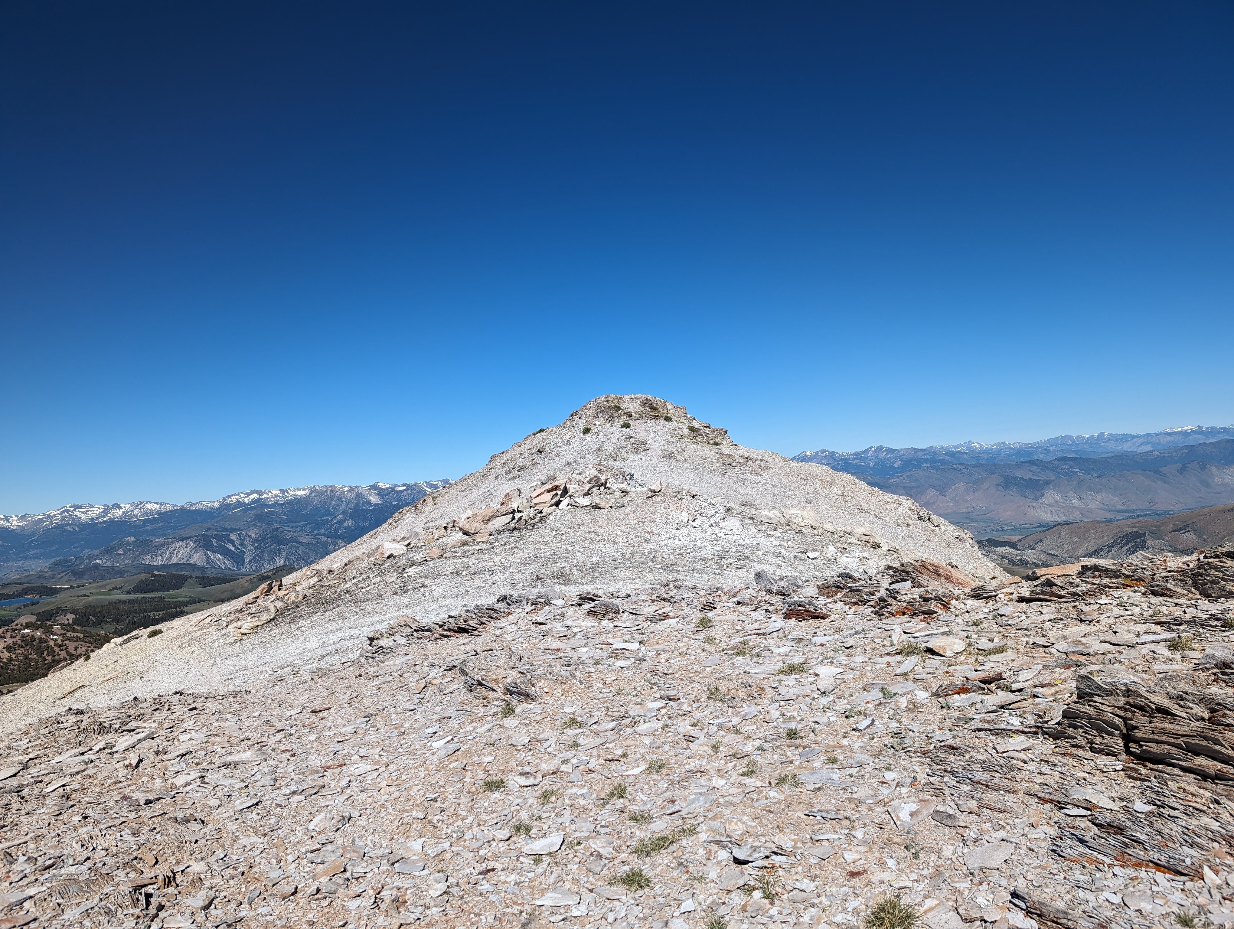
 Patterson and Wheeler, with a variety of colors in their terrain
The wind was a bit annoying, so we came down from the summit to sit in the rocks below for lunch. We spent a good 15-20 minutes hanging out and eating before starting the journey back down. Going down was pretty easy, we managed to keep track of the faint trail pretty much the entire way back to the Bristlecone forest. From there, we lost the trail for a bit as we wandered through the ancient trees and admired them. This was no issue, as we knew the general direction to head, and soon found the trail again. On the way down, we stopped off at a section of the mountain that had been cut out, probably for mining copper ore. We saw some interesting rocks that we assume must have been Malachite. Quite a rugged place to be mining, but people will do anything for money.
 Looking down towards Highway 338
 My dad coming down the ridge
 An uprooted, yet completely healthy Bristlecone
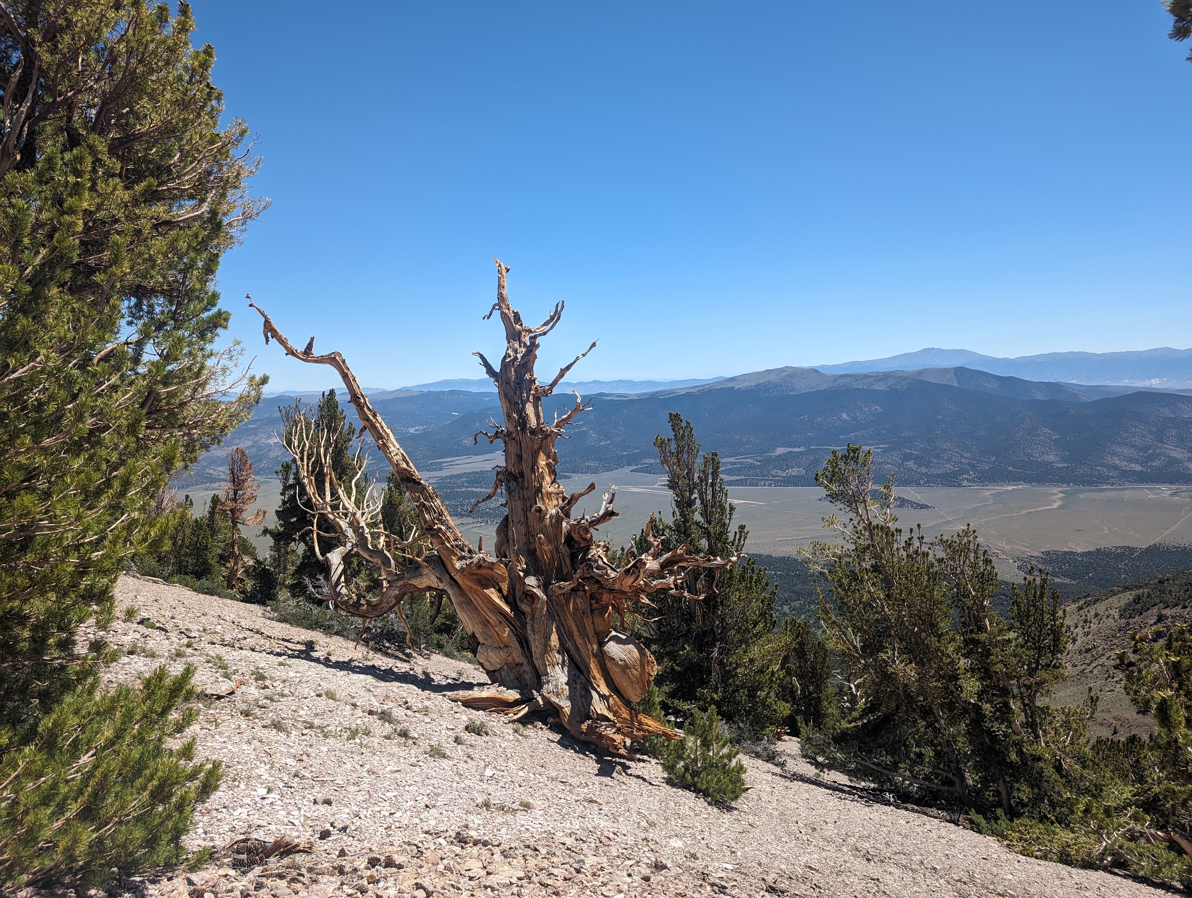 This tree was probably alive in the BC era
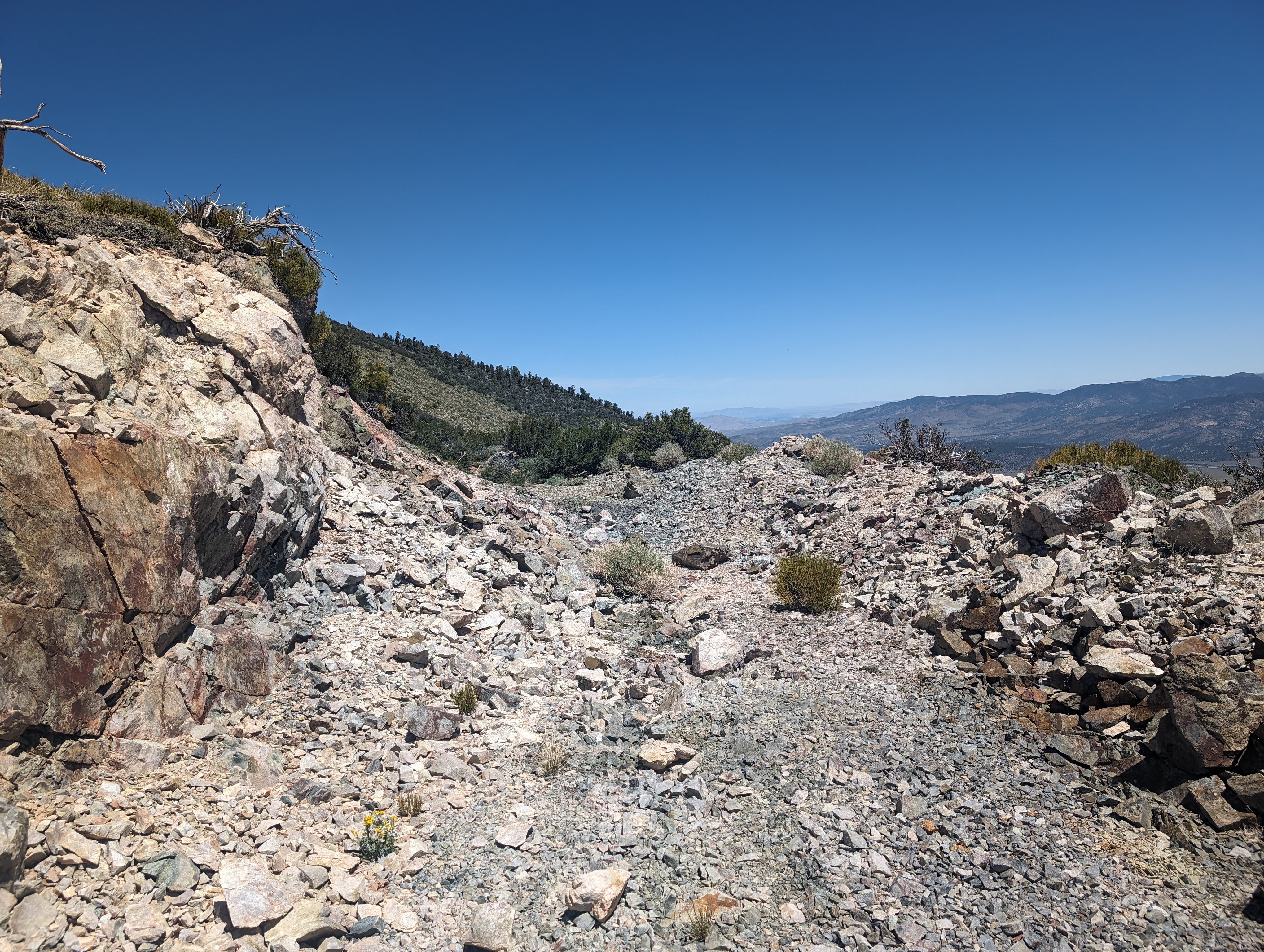 The area that we assume was mined for copper
The walk down from the mining area was pretty easy. We made it down to the saddle, and back to the road in good time. Shortly after getting back on the road, my dad slipped on the ball bearing surface. It sounded like it hurt, and I briefly worried I’d need to either carry him out or drive my truck up there. He got up though, and it seemed that the worst of it was just a bit of road rash on his leg. We continued down and made it to the truck around 1PM, which gave us plenty of time for the long drive home.
 Back at the saddle
Route
