July 3rd, 2024
I worked on this day, but was able to shift my schedule up an hour, so that we could leave around 4pm that afternoon. The plan was to drive up to the Haskell Peak Trailhead, and quickly bag the peak before sundown. My wife and dog joined me on the drive up, but I would go solo on the hike. The plan worked out about as well as one could hope, and we were on the road by 4:15 or so. We made good time up highways 80 and 89, and were oat the trailhead by about 7:20PM. I grabbed my pretty minimal backpack, and set off within 10 minutes of arriving. I couldn’t quite figure out where the trailhead was, so ended up cutting across some bushes for about a hundred yards before joining up with it.
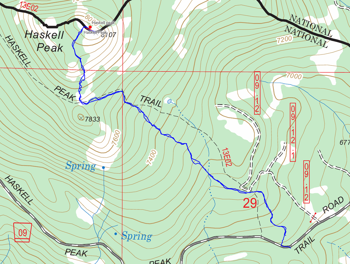
 On the trail
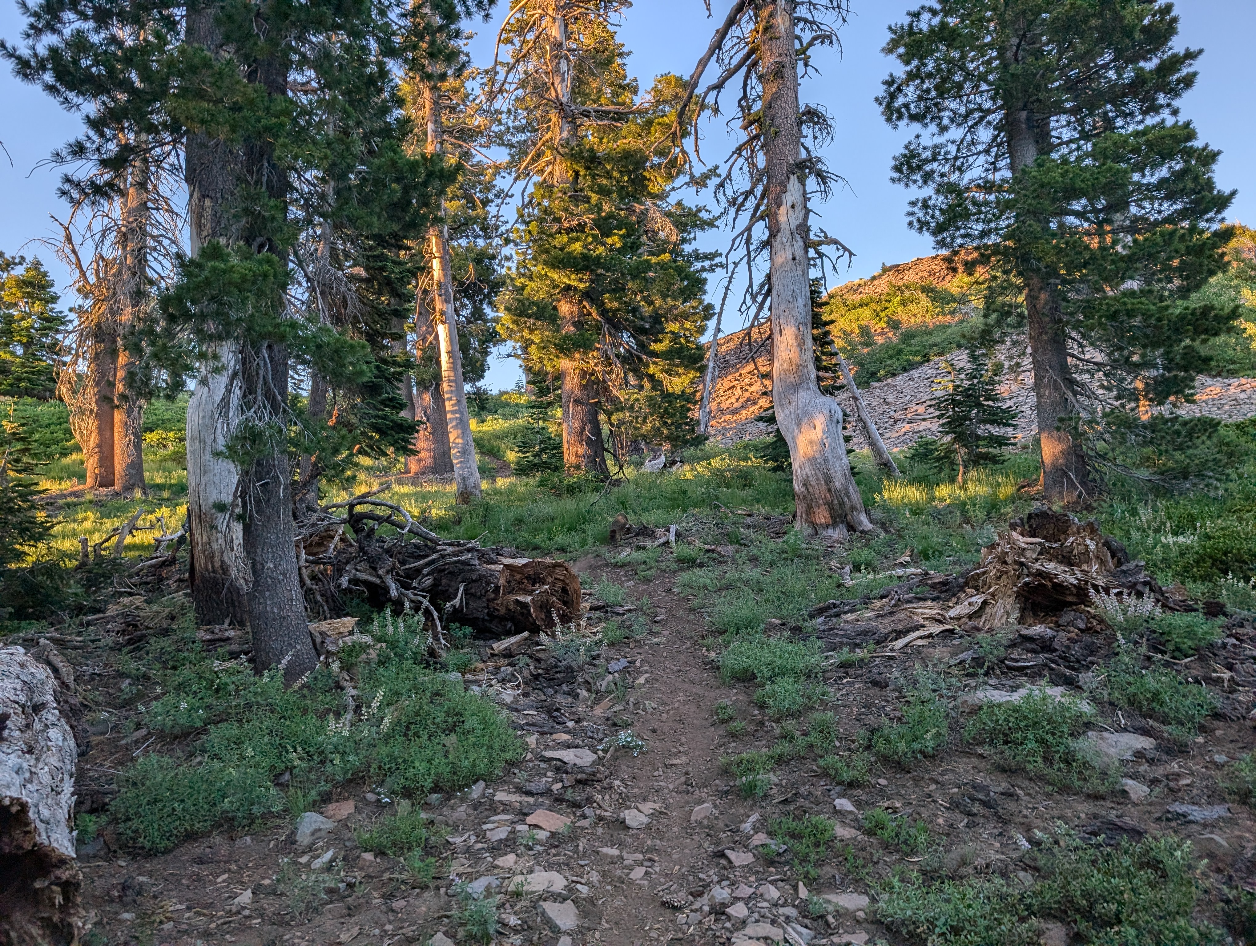
My plan was to move quickly, as I didn’t want to leave my wife worried in the dark for too long. I immediately began questioning my motive, as it was still quite hot, and I was not at all adjusted to being out of the car yet. Regardless, I pushed on at a good clip, enjoying the very nice and easy to follow trail despite my heavy breathing. The trail crosses through some nice Mule’s Ear fields at some lower elevations, but mostly remains in the trees until shortly before the summit.
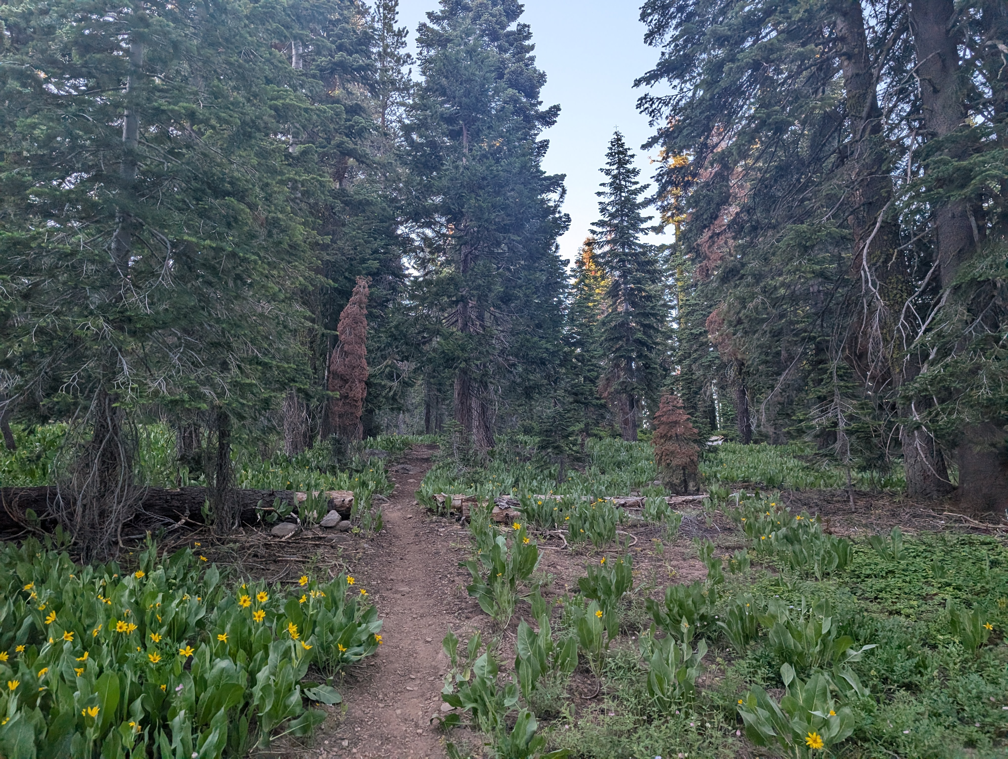
 The trail was pretty nice
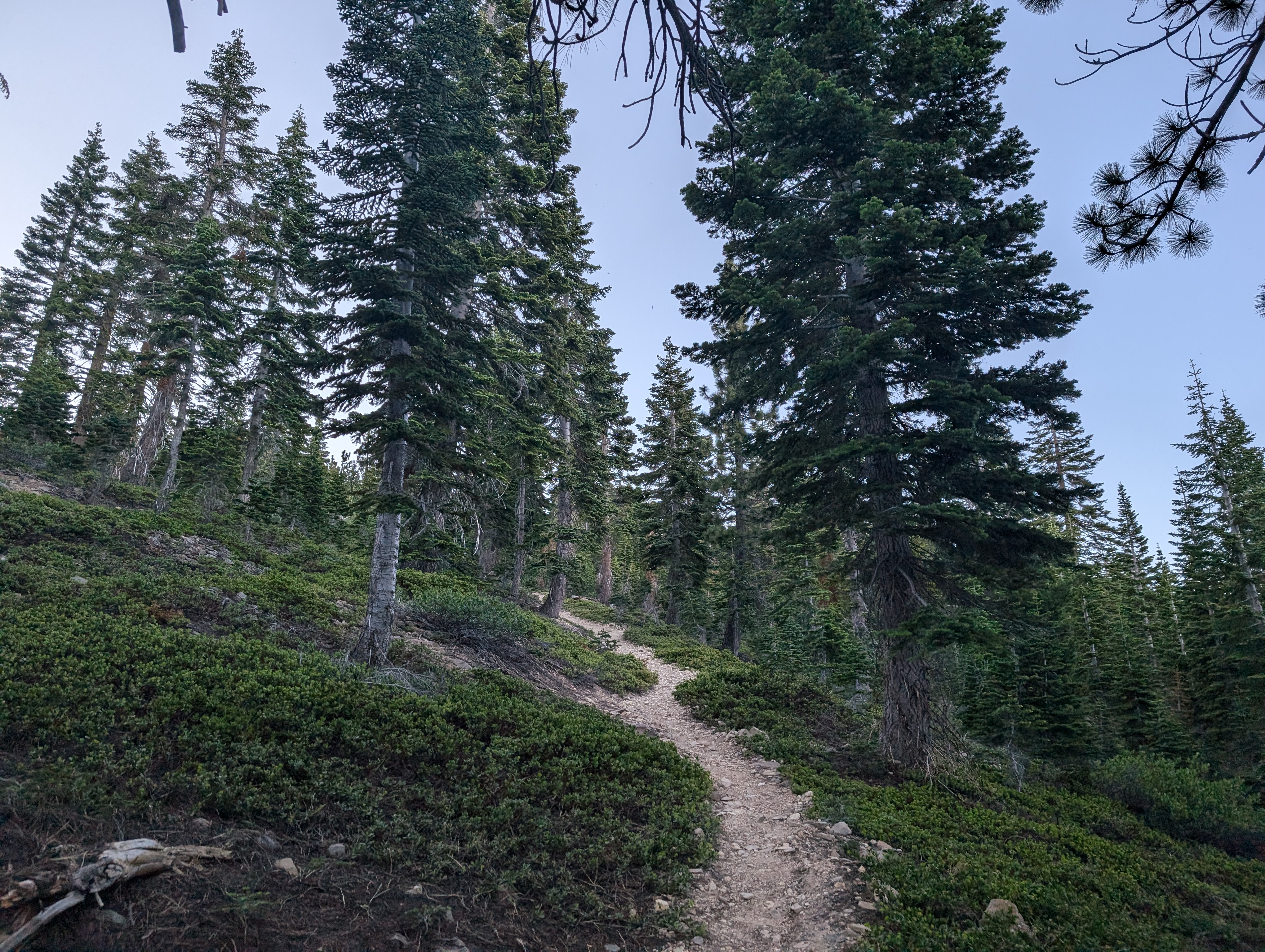
The grade was pretty moderate, although there were some fairly steep sections that I had to push through to keep my pace up. At around 7600 feet, the trail took a turn to the west, where I encountered some large (for July) snow banks still lingering. The sun was on its way down, but there was still plenty of light at this point.
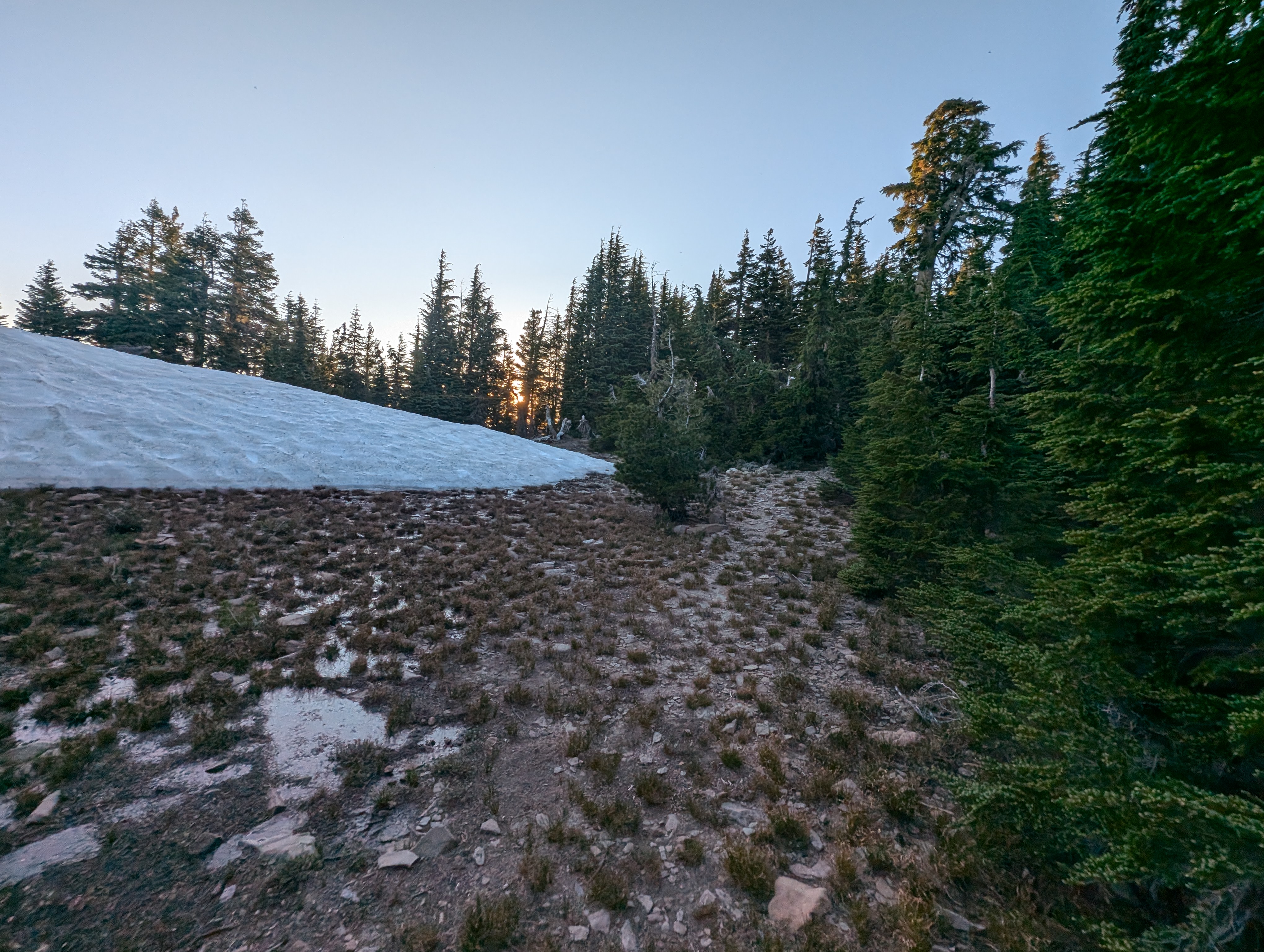 Snow around 7600’
The trail then turns to the north, passing by a small false summit with some more snow. I knew I was close at this point, so I kept moving. In just a few minutes, I was below the summit block. While passing a hollowed out log, I startled a resident marmot, who went sprinting off in the other direction. Apparently these less frequently traveled northern Sierra peaks don’t have docile marmots like down south. I grabbed my phone, and tried to snap a picture of the marmot, but its pretty difficult to make out in the photos.
 If you look closely, you can see the marmot running away
The trail led me to the base of the talus pile making up the summit, which I walked up quickly. About 35 minutes after starting, I was standing on top of my 57th Ogul peak, right in time for a magnificent sunset. The view of the Sierra Buttes nearby was pretty striking, as were the other various Ogul peaks I could see bathing in the orange glow of sunset. I hung out for a few minutes, and considered drinking the can of beer I had brought up, but decided to drink it back at the truck instead. I didn’t find a register among the giant summit cairn, but didn’t search that hard. After just sufficient time to properly enjoy the view, I set off back down.
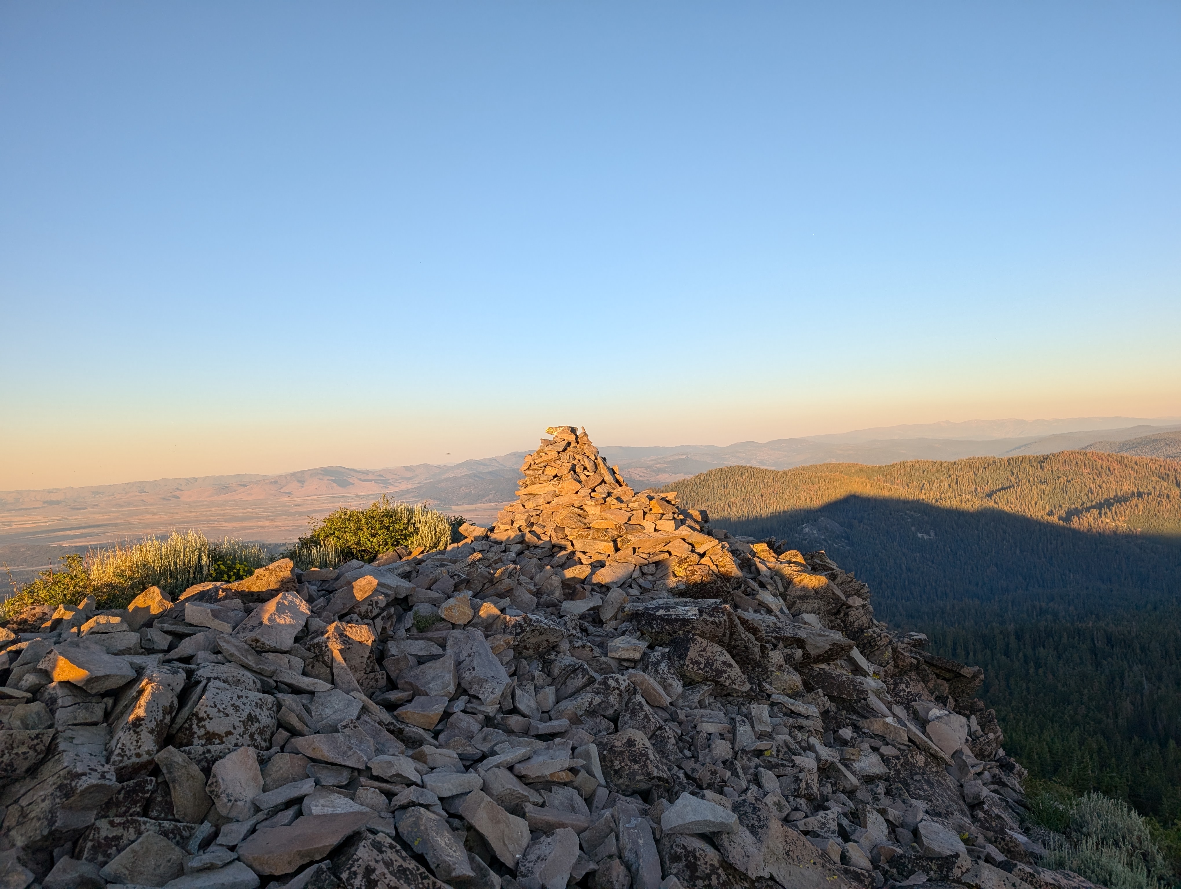 Summit cairn
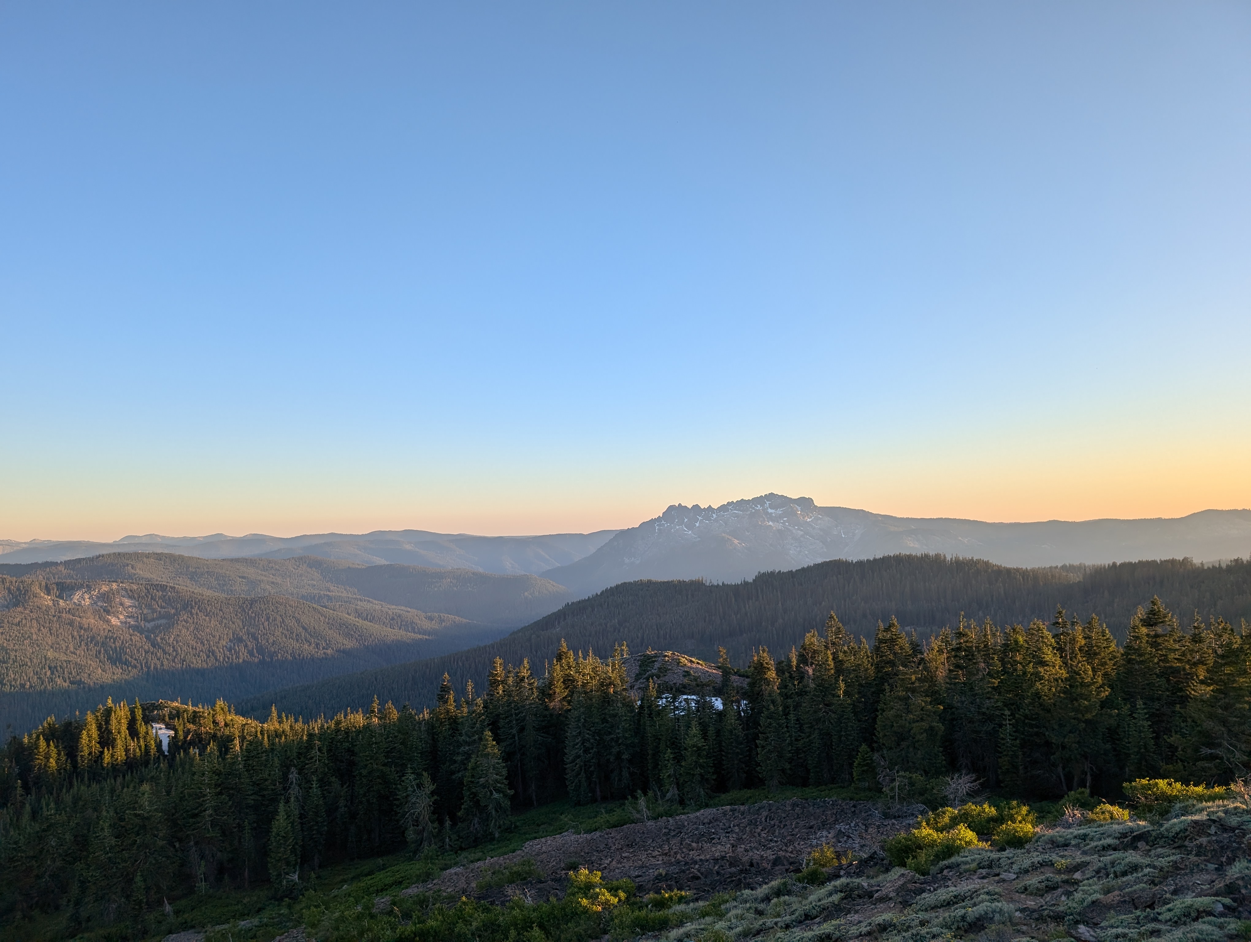 The Sierra Buttes basking in the sunset
The return trip was quite quick and easy, I kept moving at a quicker pace than I had gone up at. I was still wearing sunglasses, but there was just enough daylight to not need to take them off, nor require a headlamp. I made my way back to the actual trailhead sign, which was perhaps a hundred feet down the road from where we had parked. There I found my wife and dog waiting for me, and that my wife had gone ahead and set up camp for the night in the back of the truck. We hung out for a few hours and enjoyed each other’s company before going to bed around 10:30.
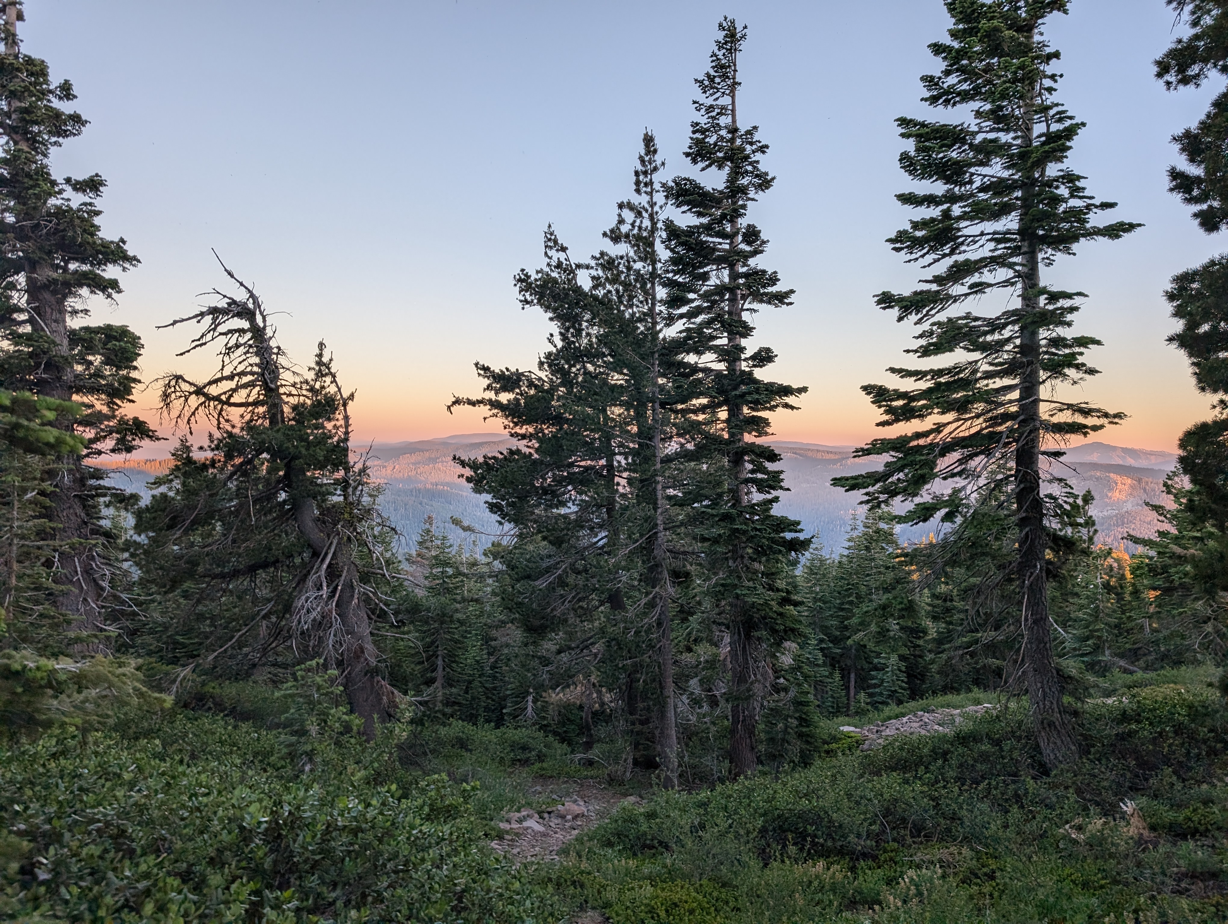 Heading back down, the lighting was perfect
Route