June 19th, 2024
I woke up around 2AM, knowing that this would be a long day that involved at least some bushwhacking, how much exactly was unknown. The drive wasn’t too bad, although I did have to deal with some road work along highway 80 near Yuba Pass. I arrived at the trailhead around 4:45 and quickly got started down the Palisades Creek Trail. There was just enough light to not need my headlamp after a few minutes of letting my eyes adjust, so I walked in the dark.
 Devil’s Peak in the early morning light
Devil’s Peak’s summit sits on forest service land, but is somewhat landlocked by surrounding private property. There is a corner that one can cross, so I cut cross country after a few miles on the trail to get to that point. A decent bushwhack ensued, but nothing terrible, and I was able to cross right at the corner without any problems. From there, it was just a bit more of a walk with light bushwhacking to get onto the ridge that leads up towards the peak. By about 6:30, I was right below the class 3 scramble up to the summit. I dropped my backpack right at the southwest corner of the summit block, and climbed up it without any issues. The rock was pretty solid, and there were ample hand and foot holds. I topped out on the ridge, and found the benchmark. Looking out at the ridge, it was clear that the proper summit was a bit north on the ridge.
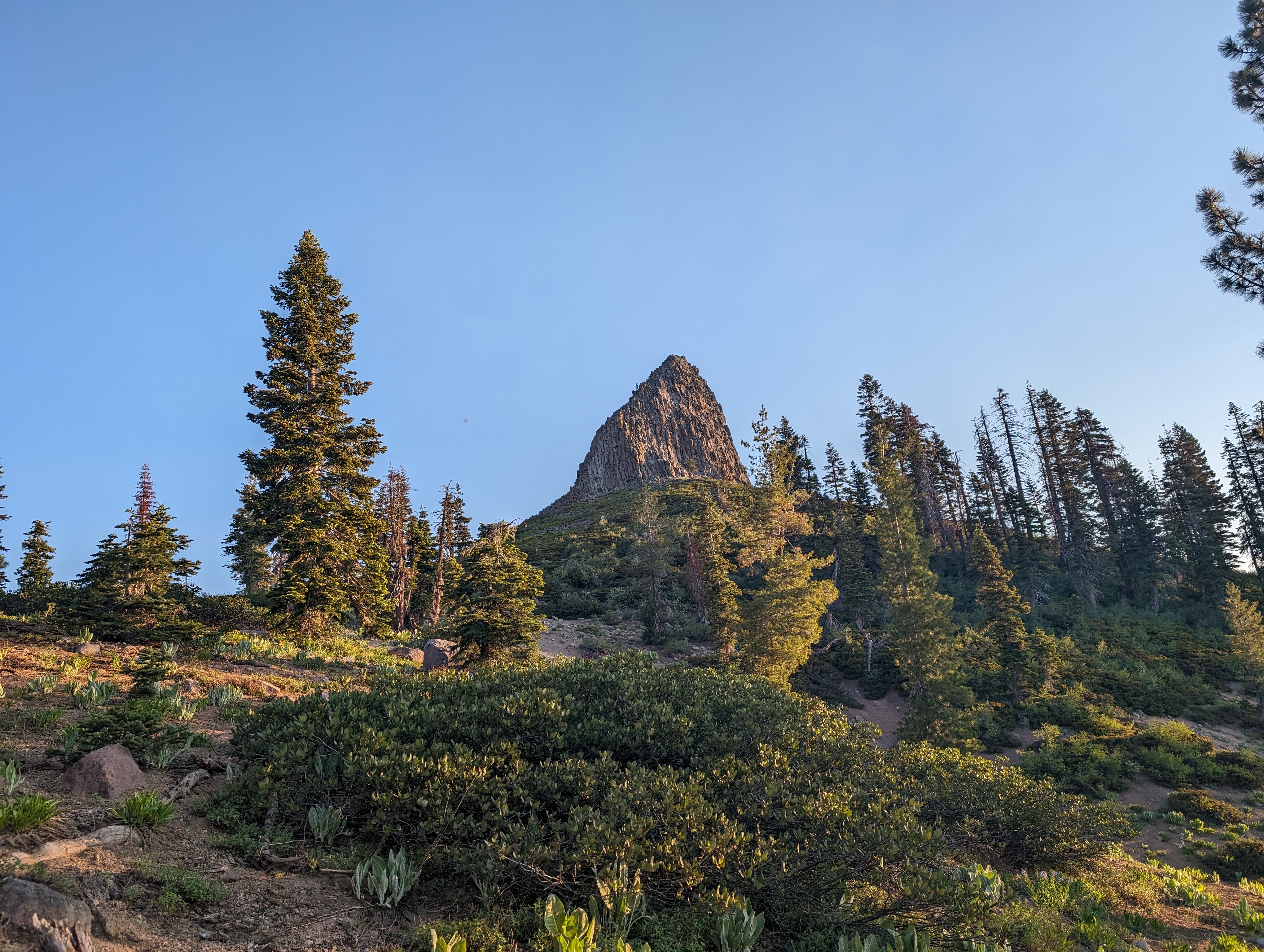 Devil’s Peak coming into view from the south
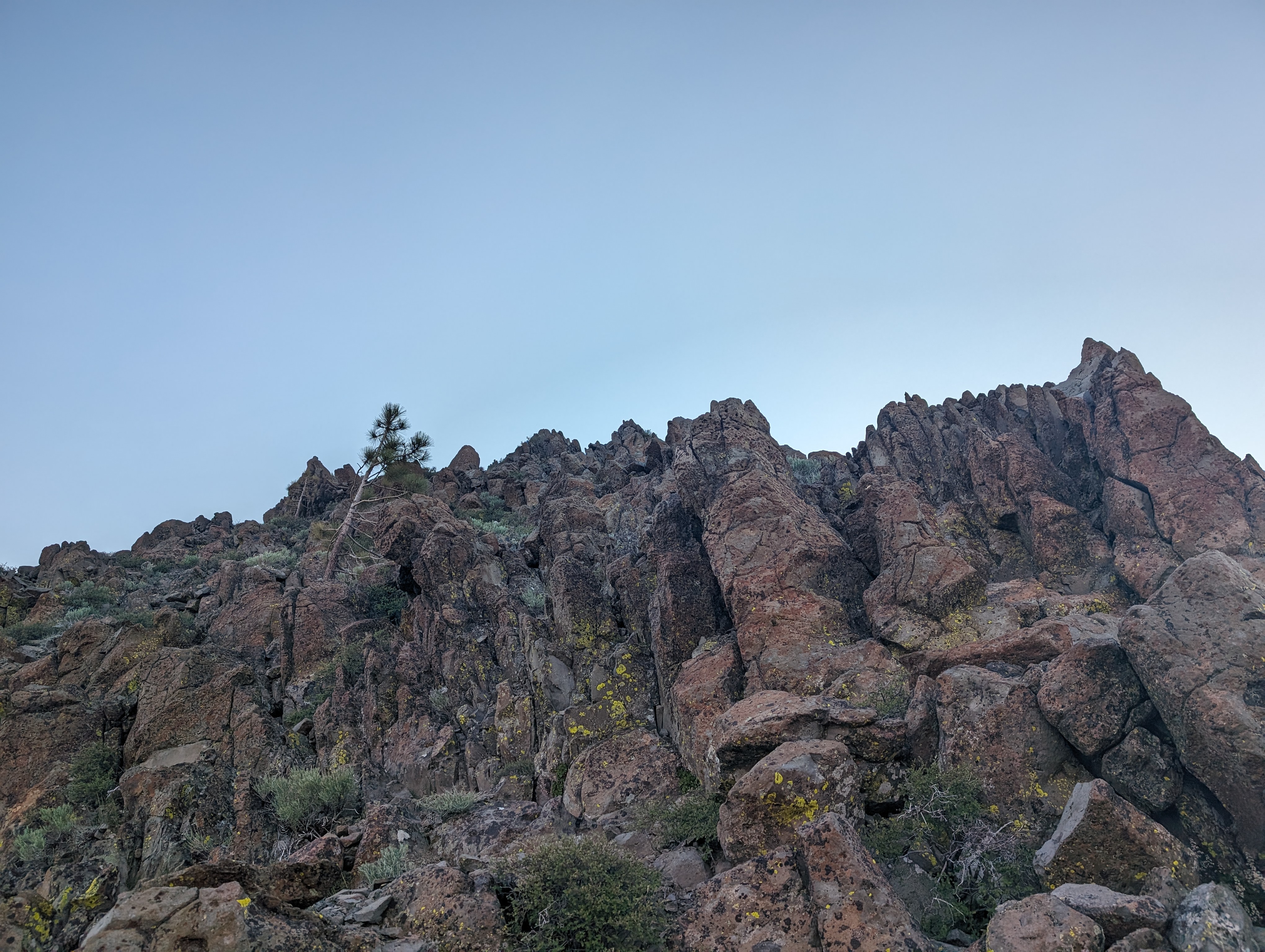 Easy class 3 to the summit ridge
 The Devil’s Peal benchmark
I made my way along the ridge without any problems, it was quite a fun little ridge walk, and the lighting of the early morning really added to the ambiance. I didn’t find a register, although I did see some broken glass deep between some rocks. Perhaps that had been a register at some point, although I didn’t see any other signs of one.
 Looking towards the proper summit
 Summit Panorama
I didn’t spend much time at the top, as I had a long day ahead, so I made my way down and found the spot where I had dropped my backpack. I made good time back down the ridge towards the corner, and crossed there once again. After doing my best to retrace my steps through the brush, I was back on the trail and set off towards Snow Mountain. The trail flattened out a bit compared to what was behind, and got more of a forest canopy over it. The walking was pretty easy and nice, but I knew I’d be back into the brush soon enough.
 Coming down the ridge, Snow Mountain in the distance
I came to about where it seemed to make sense to ditch the trail, and set off into the unknown. At first the going wasn’t too bad, a lot of deadfall, but no real bushwhacking. That changed after about 20 minutes, when I cut a bit further south than I ought to have, and had to deal with some fairly steep and thick bushes. My legs were already pretty cut up at that point, so a few more cuts wasn’t going to do anything. I eventually made it into more forested terrain, and was able to get atop a small ridge leading towards the peak. The going wasn’t too bad from there with some careful routefinding. Before too long, the peak came into view, and I could see that I’d probably have to lose some elevation down into a drainage to avoid private property again.
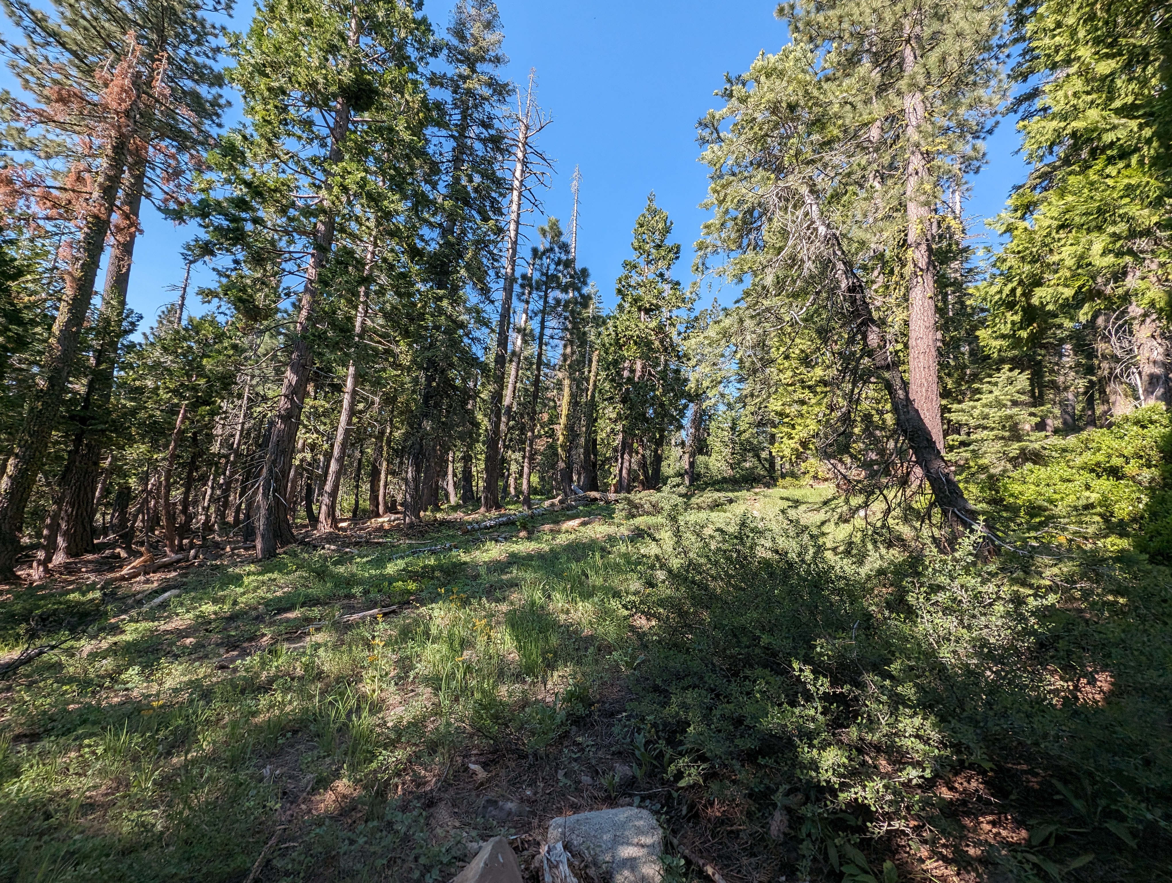 Typical conditions in the woods
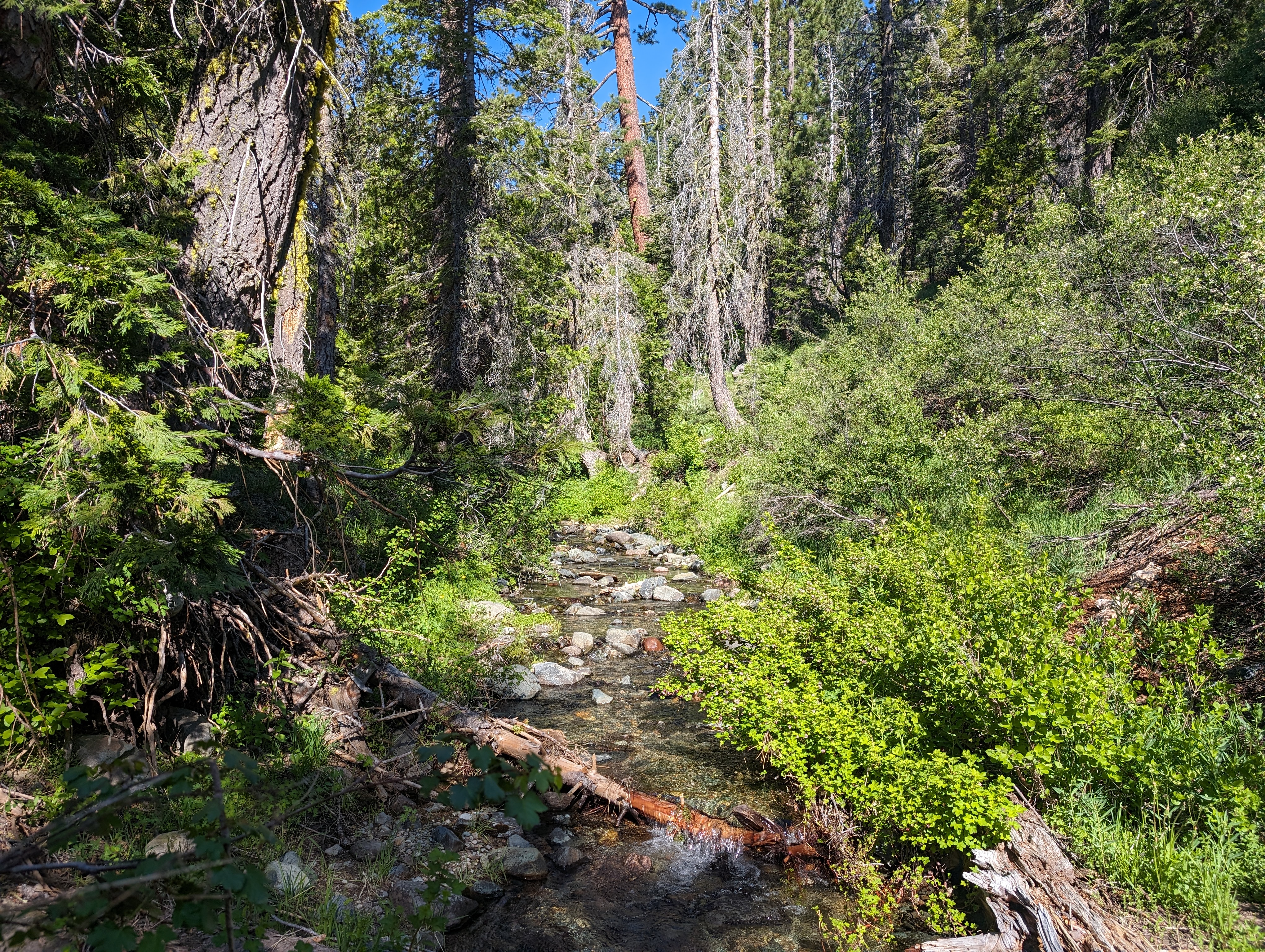 Long Valley Creek
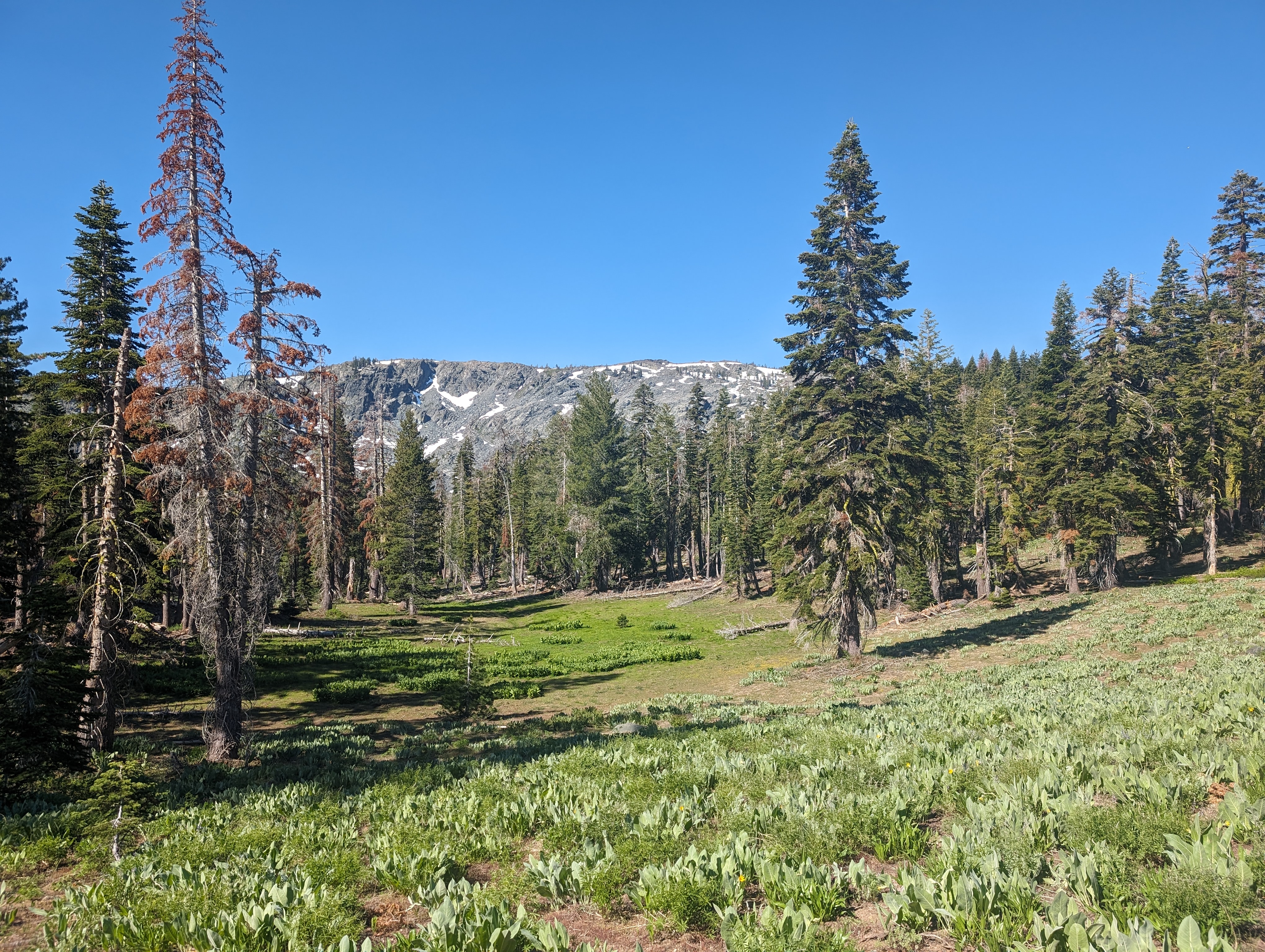 Snow Mountain behind a nice meadow section
I dropped down into a granite canyon, and again had to deal with some moderate bushwhacking. This route was a bit frustrating as there was a clear path through the rock to the northwest, but I wanted to keep this thing legal, so I took the loss and went down. I crossed a small creek, and started planning my assault on Snow Mountain. There are a few ways you can do it, but I ended up choosing to follow a set of rock benches directly up the northeast face of it. The rock offered a bit of resistance, but was never worse than class 2 with some careful route selection. Near the top, it became snowy, which actually made it relatively easy as the snow was a consistent grade. I crested the top right near a large looking mound, which I went to investigate. By some complete coincidence, the mound ended up being the summit, complete with a USGS benchmark.
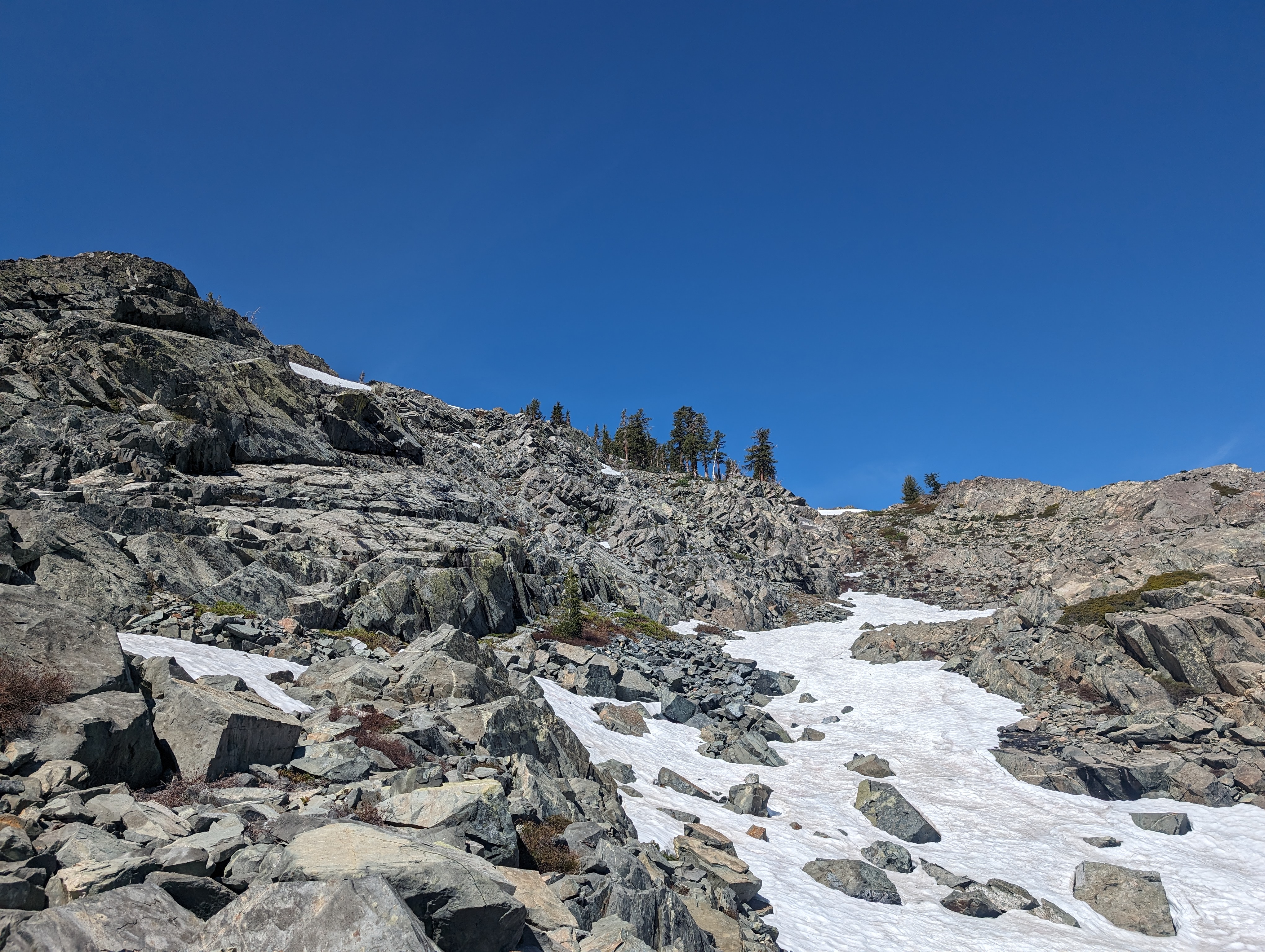 Looking up towards the summit
I hung out for perhaps 20 minutes, ate lunch, reapplied sunscreen, and soaked in the views. Snow mountain is situated to have some fantastic views of the peaks near Palisades Tahoe, Loon Lake area, as well as those to the north. For the return trip, I decided I’d try to come down a bit more to the north, and skirt the private property a bit more closely. This worked out pretty well, I found a drainage that led more directly down to the low point where I had crossed earlier. From there, I once again did some light bushwhacking back up to the ridge.
 Snow Mountain benchmark
 Summit Panorama
Once back on the ridge, I took a more northerly approach, and managed to stay within Mule’s Ear meadows for most of the return trip. I avoided any serious bushwhacking, only having to deal with some ankle high or so stuff. I stopped briefly at Long Valley Creek to fill my water, and made it down to the trail without any drama.
One back on the trail, the going was easy. As it often goes with off trail travel, I was just happy to be walking on a trail again. Not having to think about your direction or obstacles makes for a much less fatiguing experience. A few minutes into the trail, I came across the first 2 people I had seen all day. It was 2 men and a Chihuahua, neither had a backpack, and both had towels draped over their necks. They asked me “how far is the river”? Not wanting to sound pessimistic, I just said “really far”. In reality, I think they were somewhere in the range of 4-5 miles from the river, and a few thousand vertical feet. A bit much for not having a pack, and for ~2PM, but they seemed to be aware it was quite far.
I stopped once again at a small lake east of the trail to filter some more water and eat a bit more food, then continued up the last bit of elevation gain for the day. It was fairly warm at that point, so I slowed down a bit, but it still wasn’t terrible. Once I crested the top at around 6800’, I was basically seeing everything for the first time, as it had been dark when I came through that morning. I passed one more group, and stopped to to talk to a guy doing tree surveying right at Cascade Lakes for a few minutes before making it back to the trailhead.
Route
Route is approximated, I didn’t record a proper GPS track that day