July 7th, 2024
Chris and I had a good time the night before hanging out at our campsite. We had finally tracked down the allusive alcoholic Arizona Iced Teas, which we drank to our hearts content. My alarm went off at 5AM, and I was a bit tired from the night’s festivities, but I quickly loaded my truck up and set off for English Mountain, doing my best not to be too loud as Chris was still sleeping. I found some service along Bowman Lake road, and used that opportunity to set a destination in Google Maps. I saw that it was 17 miles down the road, but that Google said it would be over an hour. At this point, I knew I had some rough driving ahead of me. In hindsight, taking highway 89 to Jackson Meadows would have been a much more pleasant drive. The road indeed took over an hour, and required some moderate 4 wheeling at one point, I definitely would not try this road without at least a high clearance vehicle, and not with 2 wheel drive.
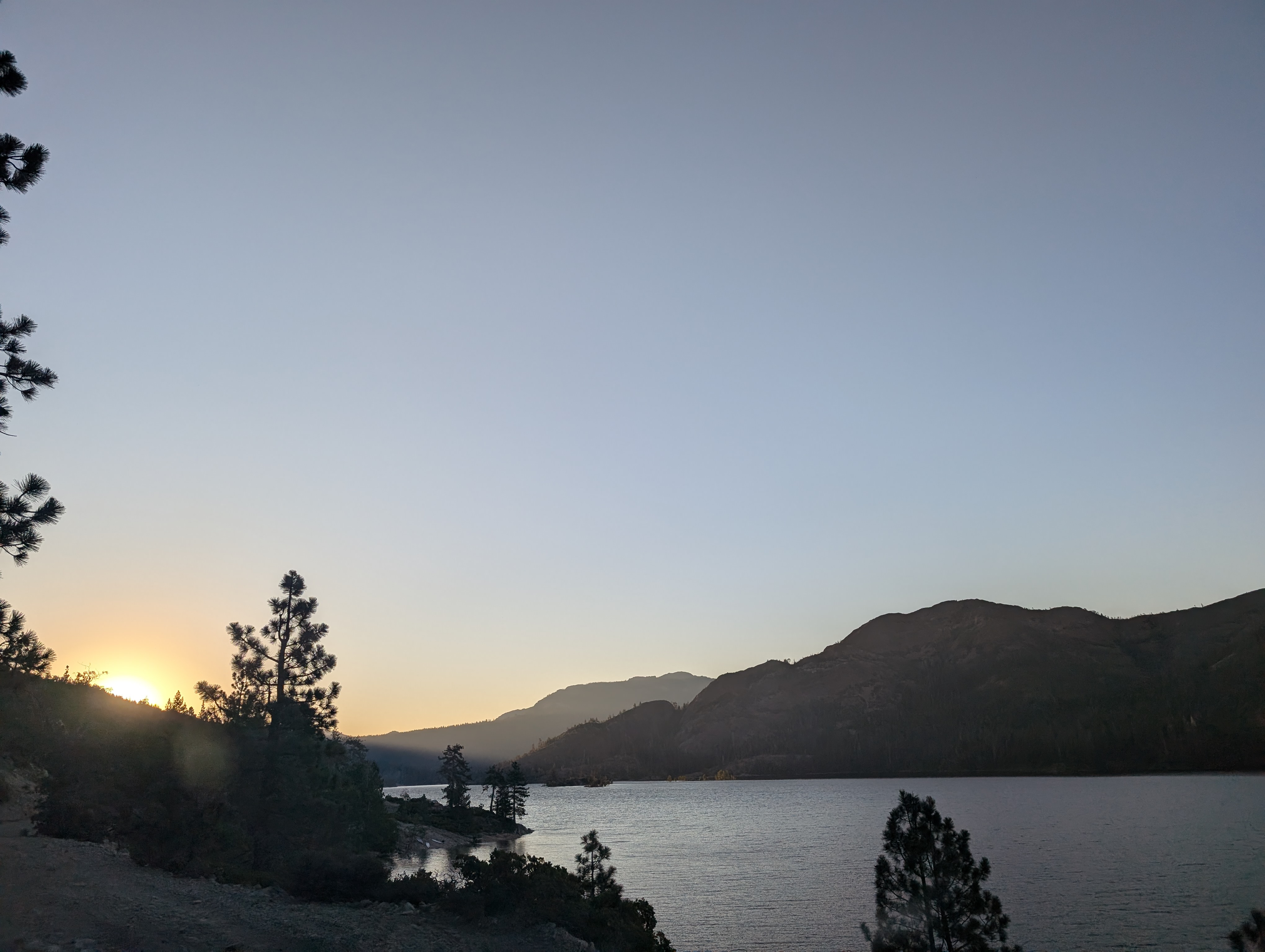 Fordyce Lake on the drive in
I made it to Catfish Lake, which I knew was the closest landmark to where one should start. I then went down a forest service road to the south of the lake, and found a place to park my Truck. I knew there was no “official” route, so I figured I’d just start somewhere and make it up as I went. I made it less than half a mile before abandoning this route, the bushwhacking was simply more than I wanted to do, and I knew there must be a better way. I doubled back to the truck, and ended up driving back north a bit, closer to the lake.
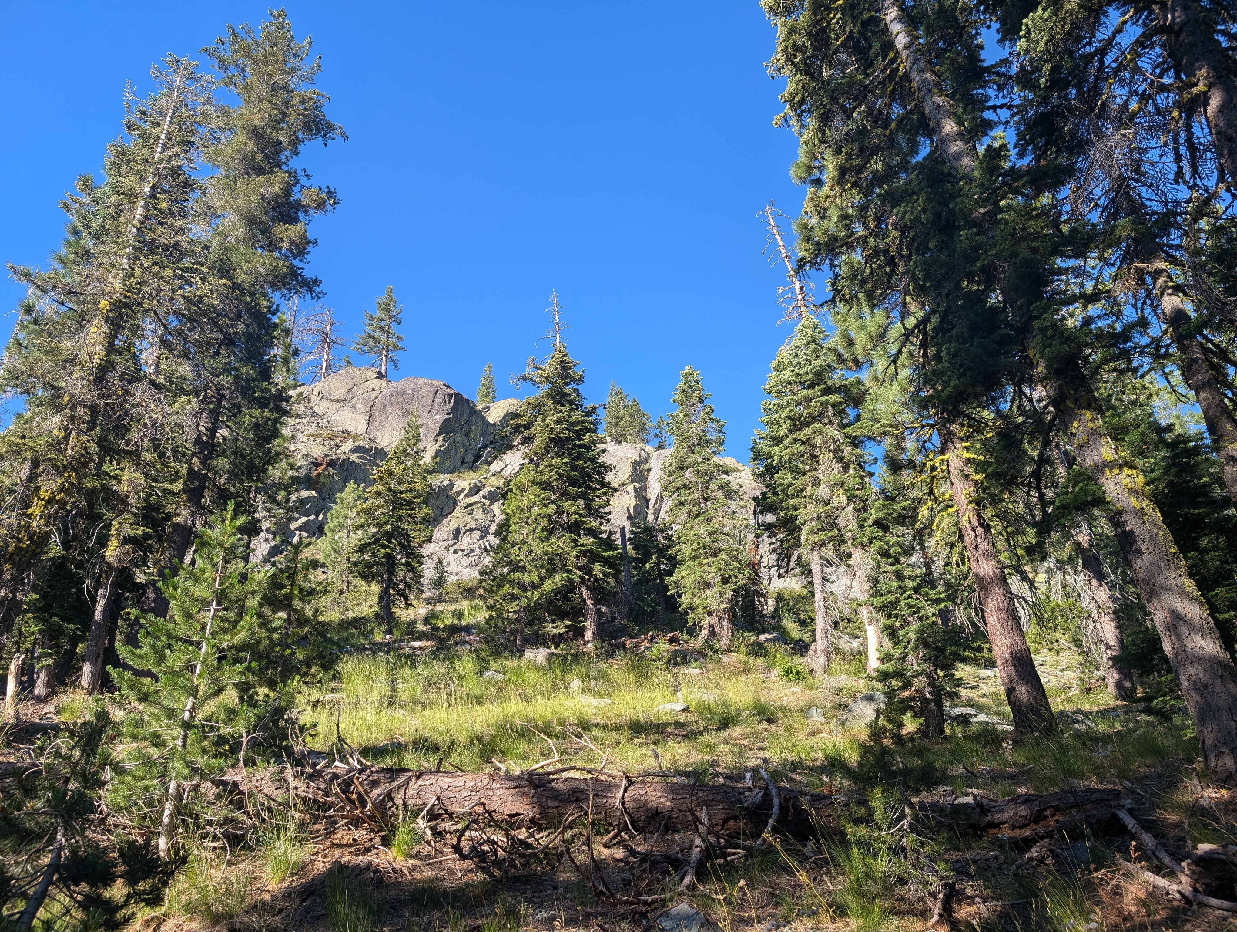 Not far from the dirt road where I parked
From my second starting point, things were a lot easier, although the intense heat had already began warming the day up. It was around 8:30 by this point, and I wondered if the bushwhack might have been quicker. Regardless, I lumbered along through the forest, mostly dealing with deadfall, and a comparatively light amount of bushwhacking. I was trying to get to the north drainage of the mountain, where it looked like I could follow a creek bed up to the ridge.
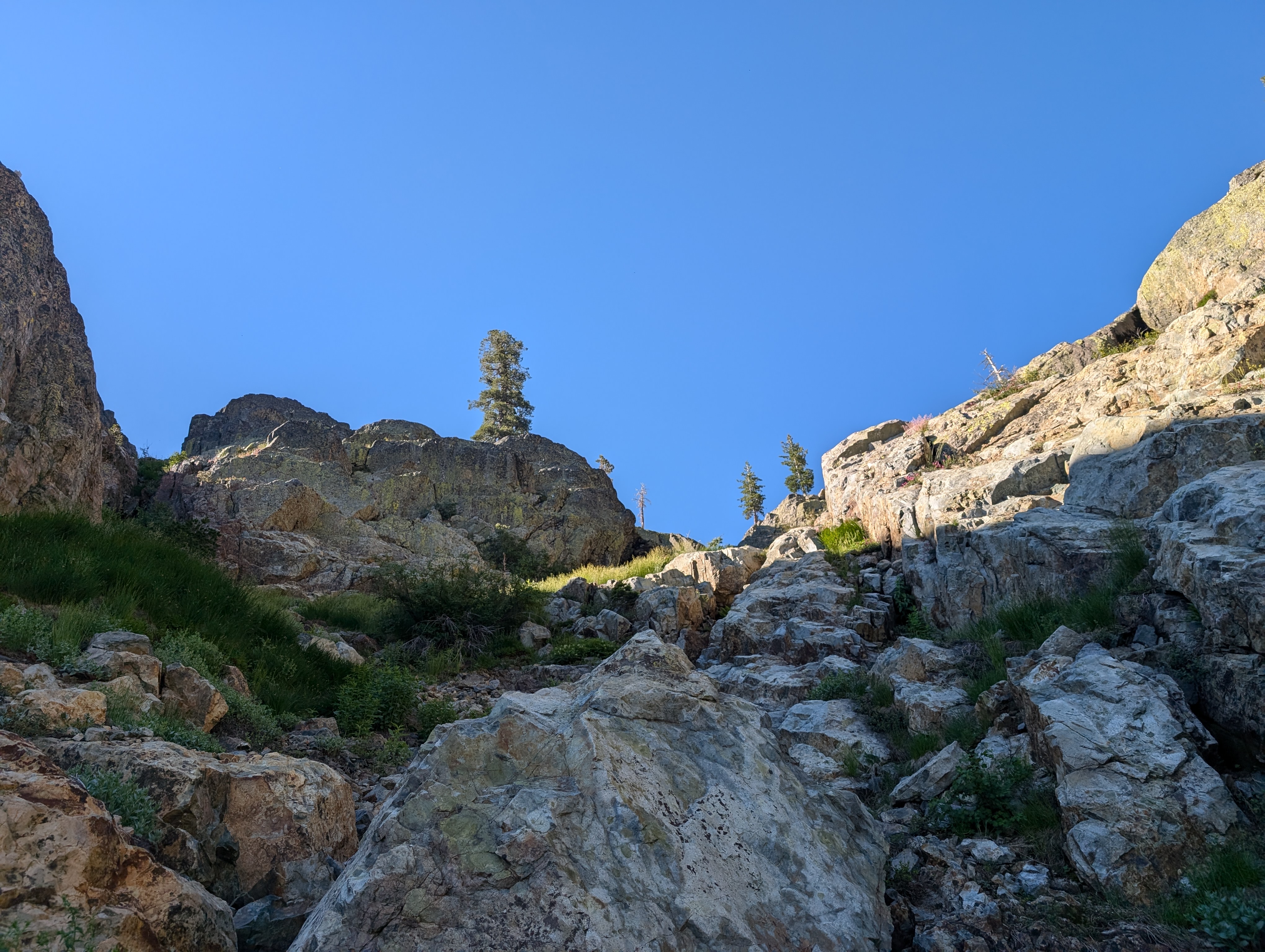
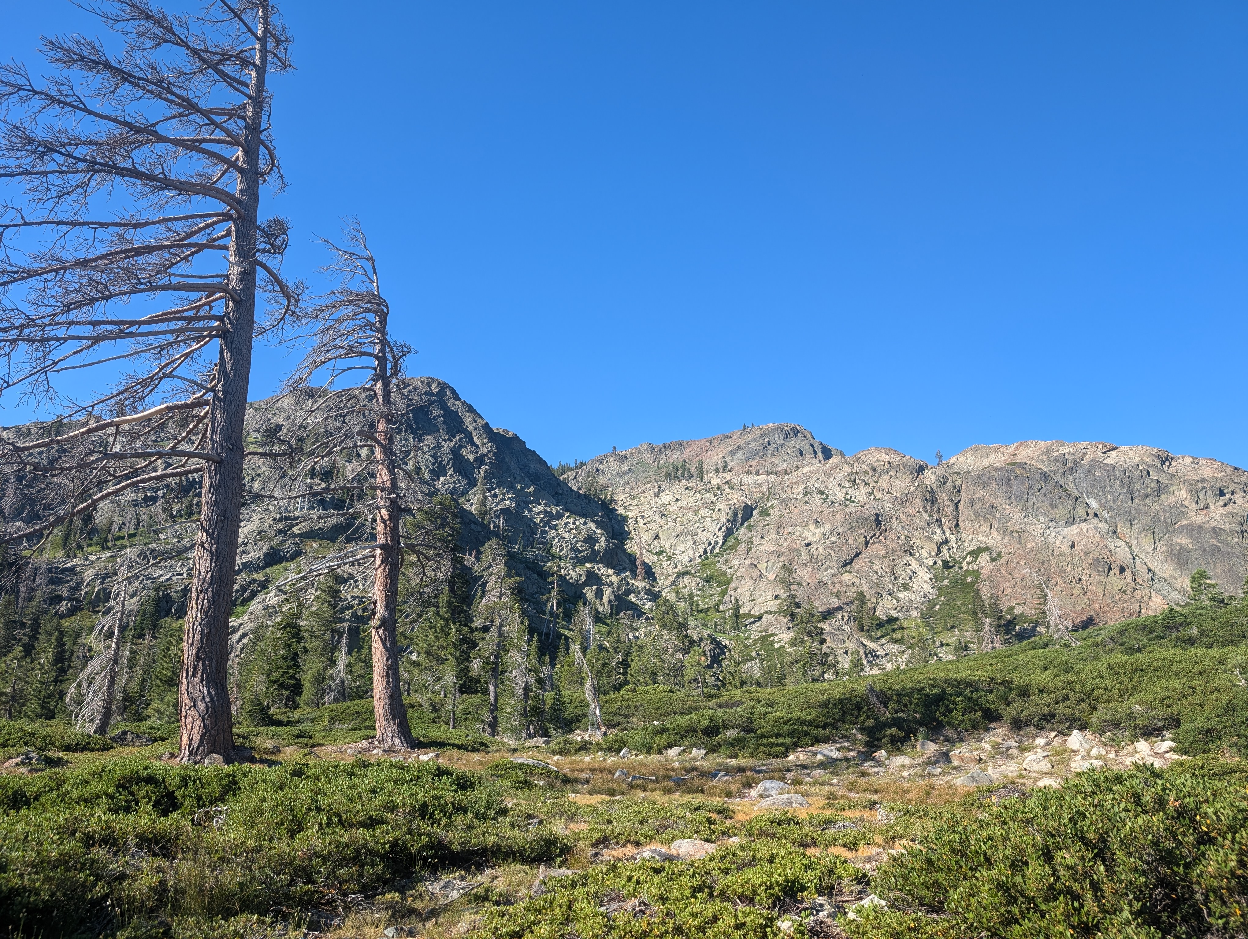 Looking up the drainage
This worked fairly well, although I was pretty miserable, and going very slow. A combination of mosquitos, flies, and brushing my legs against a variety of vegetation left me feeling itchy. Paired with the heat, some moderately bad blisters, and perhaps a light hangover from the night before, I wasn’t enjoying this as much as I usually do. Being so close to finishing the Ogul list though, it would take a lot more for me to give up on this day. The route took me up granite shelf after granite shelf, slowly gaining elevation up the steep canyon.
 Nearing the top of the canyon
After what felt like an eternity, I made it up to the first bench in the canyon. This bench has a small lake, and offers a bit of a reprieve with some flat walking. The obvious route from there is to follow the same drainage up, which was a lot less steep, and had more vegetation than the route to that point. I continued along, painfully slow, and made it up to near the base of the summit ridge.
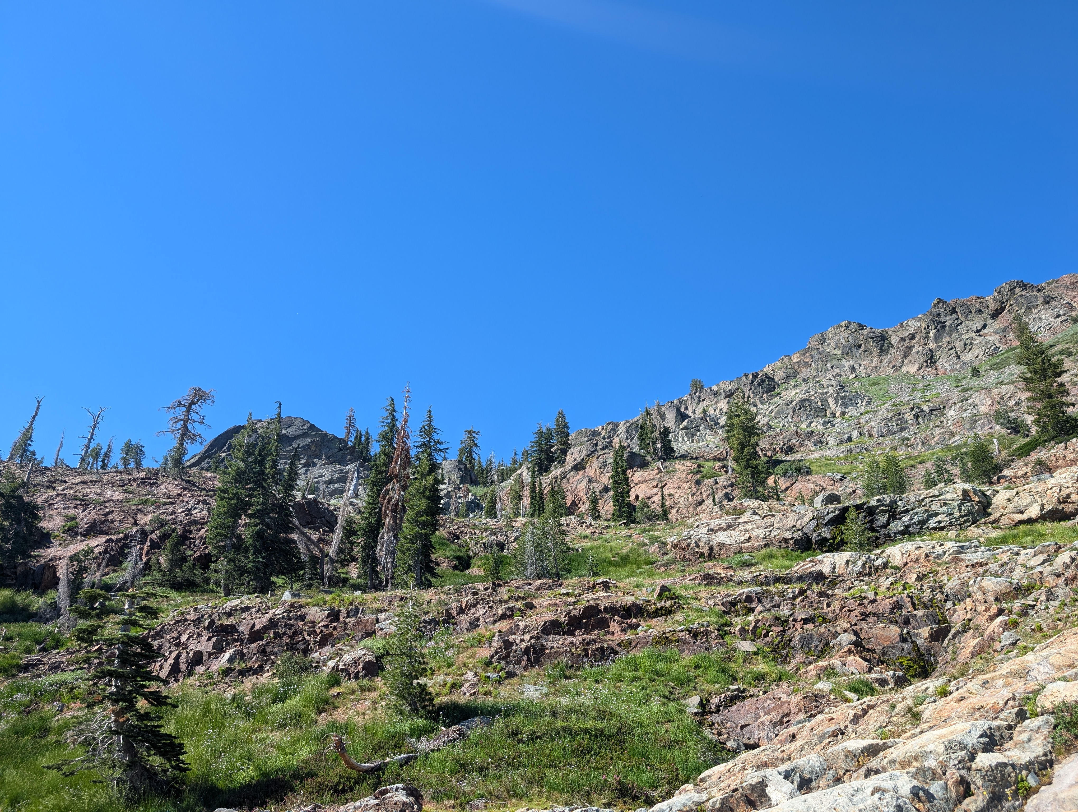 At the bench
At the base of the ridge, I found the going to get easier. The low shrubs gave way to more mature trees, and I even found what appeared to be an old road cut, which I followed for perhaps half a mile to the northwest of the ridge. Around this point, I decided that a ridge walk sounded more pleasant than side hilling, so I scrambled my way up.
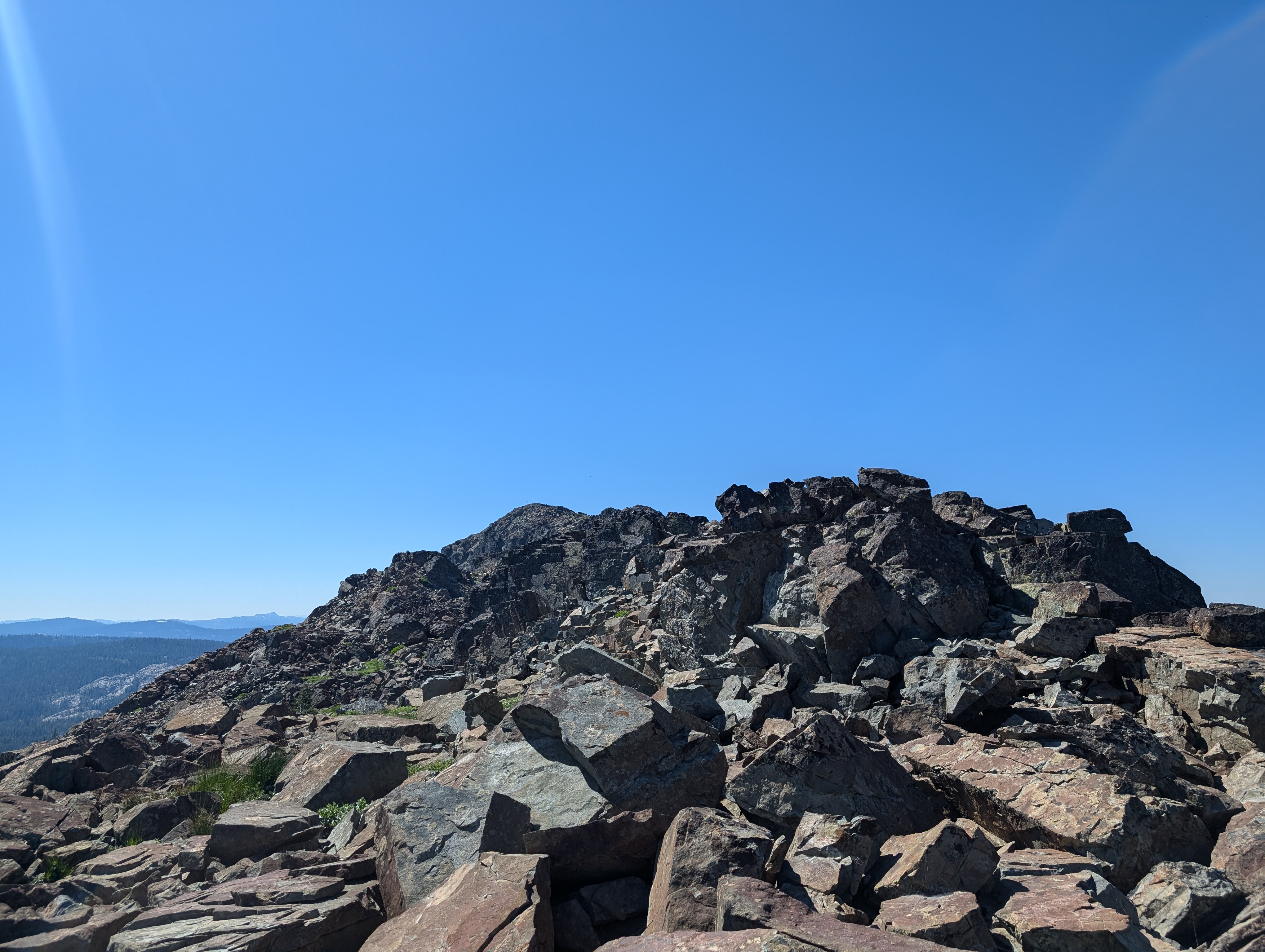 Finally on some fun terrain
Once on top of the ridge, my day improved vastly. The breeze cooled me off, the views lifted my spirits, and the class 3 scrambling added an element of fun that seemed to be missing up to that point. I stuck mostly to the ridgetop all the way to the summit. There are a few low points, but overall the route is pretty nice, especially for the Northern Sierra.
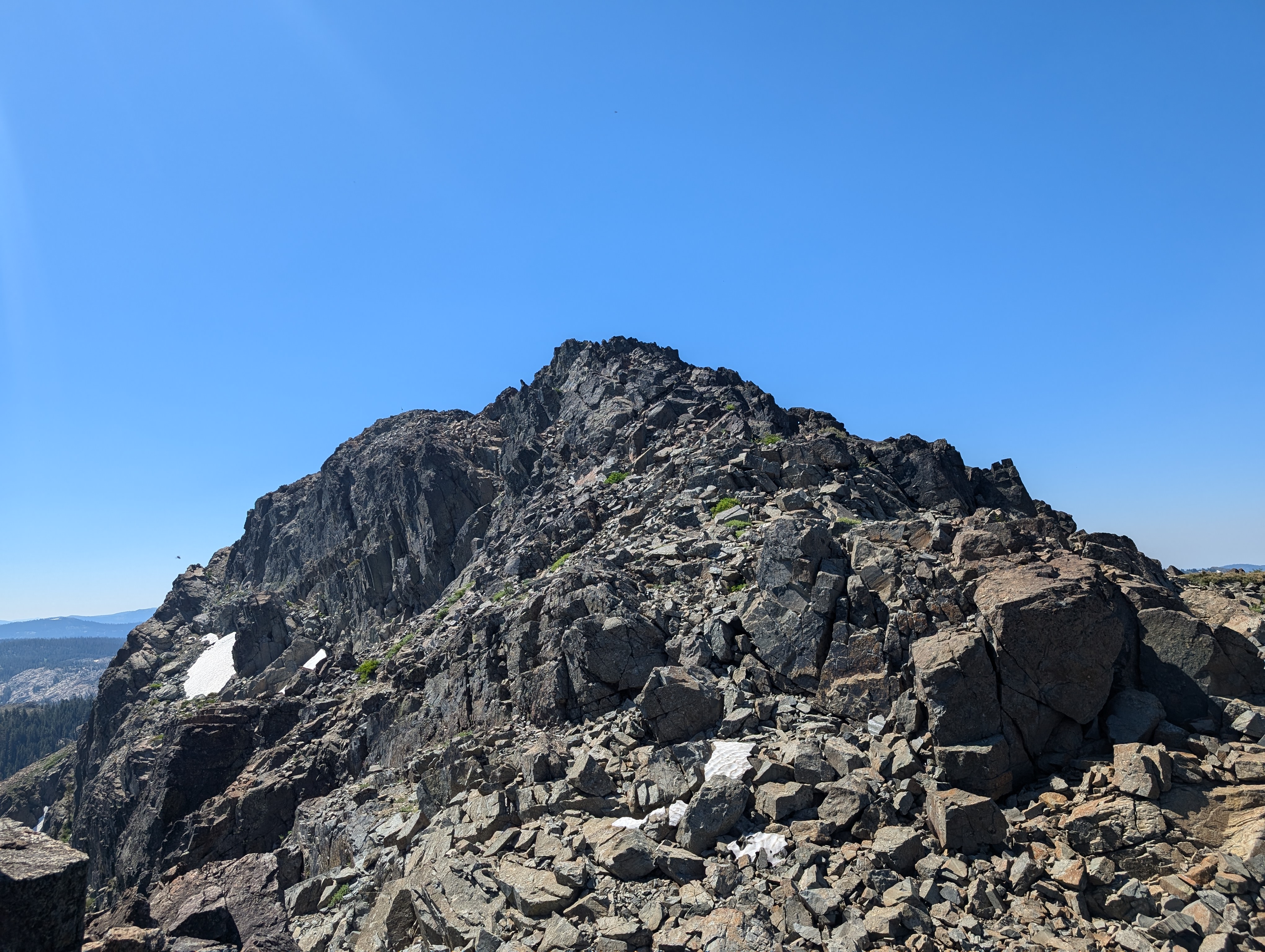 Just below the summit
Not long later, I was at the top of English Mountain. Up here I found a small communication antenna (labelled as Placer County Search and Rescue’s antenna), and unfortunately, a summit shrouded in flies. This is not the first summit I’ve encountered that was covered in flies, and like the times before, it does make the experience a bit less pleasant. I quickly snapped some pictures, signed the register, and considered going down the ridge to the road I had come in on here. I made my way a bit south of the summit, before deciding that the way I had come in was fine, and turned around to continue that way.
 Summit Panorama
I retraced my ridge walk a bit, and then cut down to the west side to find some shade and eat my lunch. After eating my lunch and reapplying my sunscreen, I continued back below the ridge, trying to get back to the route I had taken up. I quickly found the old road cut, and took that as far as I could back down the north drainage. The road fizzled out soon, but I knew the way from here. I had a much easier time getting down, opting for a route more to the west than the way I had taken up. I’m not sure which way was better, I think my return trip might have been ever so slightly more efficient.
 Where I stopped for lunch
Before long, I was back at the first bench, and making my way down towards the steeper part of the drainage. On the way down, I once again stuck more to the west, this time following the creek bed as much as possible, which made it somewhat easier. I encountered quite a few biting flies here, they don’t really hurt, but are extremely annoying, adding to the itchy legs theme of the day. Finally, I made it back down to the brush, and this time opted to go a bit south of the way I had come up.
 One of several small lakes on the mountain
I went through a few empty lake beds, and then followed their drainages. This got me down with even less bushwhacking, although the final descent down to the road had quite a bit of deadfall. Once back at the road, it was just a short walk back to the truck. On the way out, I went by Jackson Meadow Reservoir, and then enjoyed a glorious 19 miles of sweet, smooth pavement back to highway 89. If you’re doing this peak, I strongly suggest taking the highway 89 route.
 Lots of deadfall on the way back
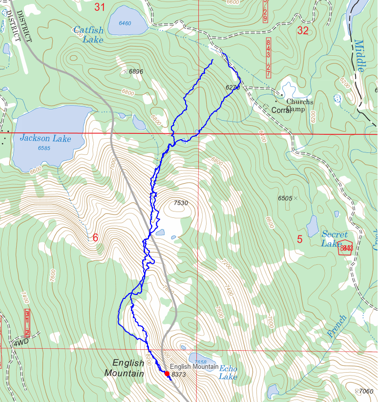
Route